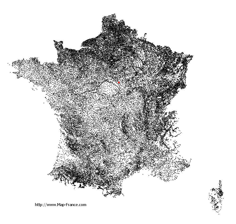
Châtillon-Coligny on the relief France map in Lambert 93 coordinates
|

See the map of Châtillon-Coligny in full screen (1000 x 949)
|
At left, here is the location of Châtillon-Coligny on the relief France map in Lambert 93 coordinates.
Here are the altitudes of Châtillon-Coligny :
- Town hall altitude of Châtillon-Coligny is 140 meters
- Minimum altitude of Châtillon-Coligny is 115 meters
- Maximum altitude of Châtillon-Coligny is 179 meters
- Medium altitude of Châtillon-Coligny is 147 meters
Here are the altitudes of Orléans, prefecture of Loiret department:
- Town hall altitude of Orléans is 110 meters
- Minimum altitude of Orléans is 90 meters
- Maximum altitude of Orléans is 124 meters
- Medium altitude of Orléans is 107 meters
Here are the altitudes of the french biggest cities:
Paris : 33 meters
Marseille : 20 meters
Lyon : 237 meters
Toulouse : 146 meters
Nice : 10 meters
Nantes : 20 meters
Strasbourg : 144 meters
Montpellier : 35 meters
Bordeaux : 16 meters
Lille : 20 meters
Rennes : 35 meters
Reims : 83 meters
Click here for the terrain map of Châtillon-Coligny in full screen:
Relief map of Châtillon-Coligny
|
This relief map of Châtillon-Coligny is reusable and modifiable by making a link to this page of the Map-France.com website or by using the given code :
|
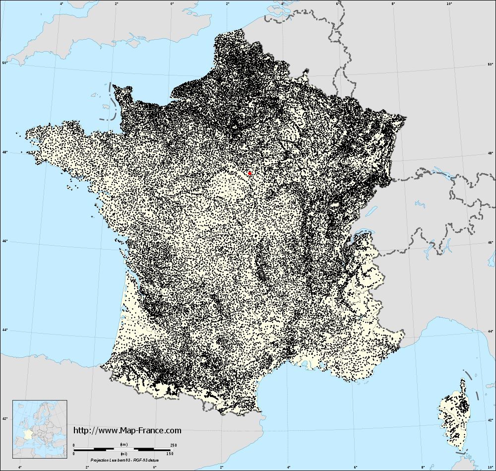
Terrain base map of Châtillon-Coligny
|

See the terrain base map of Châtillon-Coligny in full screen (1000 x 949)
|
Small relief base map of Châtillon-Coligny

|
This base map of Châtillon-Coligny is reusable and modifiable by making a link to this page of the Map-France.com website or by using the given code :
|
Map of Châtillon-Coligny with regions and prefectures
|
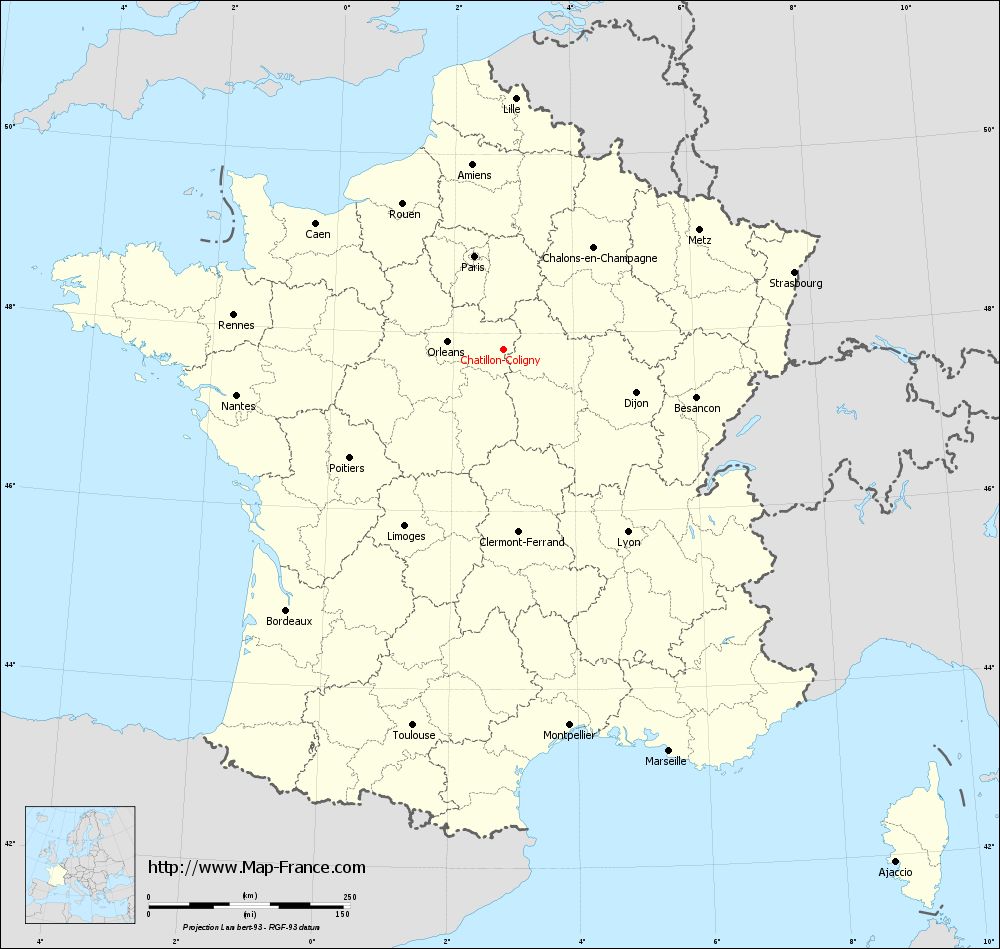
View the map of Châtillon-Coligny in full screen (1000 x 949)
|
You will find the location of Châtillon-Coligny on the map of France of regions in Lambert 93 coordinates. The town of Châtillon-Coligny is located in the department of Loiret of the french region Centre.
Geographical sexagesimal coordinates / GPS (WGS84):
Latitude: 47° 49' 22'' North
Longitude: 02° 50' 47'' East
Geographical decimal coordinates :
Latitude: 47.821 degrees (47.821° North)
Longitude: 2.847 degrees (2.847° East)
Lambert 93 coordinates :
X: 6 885 hectometers
Y: 67 469 hectometers
Lambert 2 coordinates :
X: 6 382 hectometers
Y: 23 138 hectometers
Below, the geographical coordinates of Orléans, prefecture of the Loiret department:
Geographical sexagesimal coordinates / GPS (WGS84):
Latitude: 47° 54' 08'' North
Longitude: 01° 54' 15'' East
Geographical decimal coordinates :
Latitude: 47.904 degrees (47.904° North)
Longitude: 1.907 degrees (1.907° East)
Lambert 93 coordinates :
X: 6 181 hectometers
Y: 67 563 hectometers
Lambert 2 coordinates :
X: 5 677 hectometers
Y: 23 226 hectometers
|
This map of Châtillon-Coligny is reusable and modifiable by making a link to this page of the Map-France.com website or by using the given code :
|
Map of Châtillon-Coligny with departments and prefectures
|
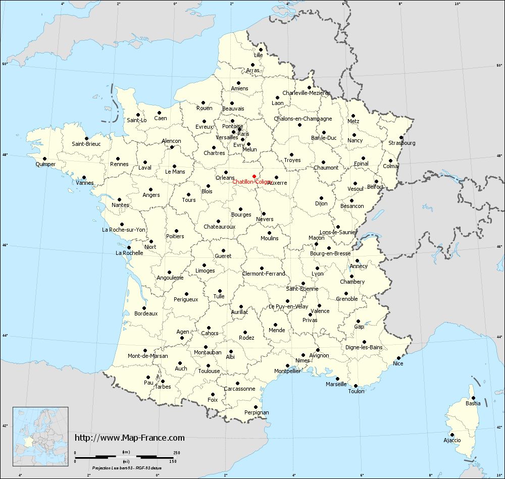
Voir la carte of Châtillon-Coligny en grand format (1000 x 949)
|
Here is the localization of Châtillon-Coligny on the France map of departments in Lambert 93 coordinates. The city of Châtillon-Coligny is shown on the map by a red point.
The town of Châtillon-Coligny is located in the department of Loiret of the french region Centre.
The latitude of Châtillon-Coligny is 47.821 degrees North.
The longitude of Châtillon-Coligny is 2.847 degrees East.
Here the distance between Châtillon-Coligny and the biggest cities of France:
Distances are calculated as the crow flies (orthodromic distance)
Distance between Châtillon-Coligny and Paris : 121.33 kilometers
Distance between Châtillon-Coligny and Marseille : 540.3 kilometers
Distance between Châtillon-Coligny and Lyon : 274.39 kilometers
Distance between Châtillon-Coligny and Toulouse : 481.29 kilometers
Distance between Châtillon-Coligny and Nice : 570.87 kilometers
Distance between Châtillon-Coligny and Nantes : 336.86 kilometers
Distance between Châtillon-Coligny and Strasbourg : 373.21 kilometers
Distance between Châtillon-Coligny and Montpellier : 474.7 kilometers
Distance between Châtillon-Coligny and Bordeaux : 422.26 kilometers
Distance between Châtillon-Coligny and Lille : 312.23 kilometers
Distance between Châtillon-Coligny and Rennes : 338.26 kilometers
Distance between Châtillon-Coligny and Reims : 181.9 kilometers
Clic here to see the map of Châtillon-Coligny in full screen:
Châtillon-Coligny on the map of french departments
|
This administrative map of Châtillon-Coligny is reusable and modifiable by making a link to this page of the Map-France.com website or by using the given code :
|
Administrative base maps of Châtillon-Coligny
|

See the administrative base map of Châtillon-Coligny in full screen (1000 x 949)
|
Small administrative base map of Châtillon-Coligny
|
This base map administrative of Châtillon-Coligny is reusable and modifiable by making a link to this page of the Map-France.com website or by using the given code :
|
 French Version : http://www.cartesfrance.fr