Châtillon-le-Roi on the relief France map in Lambert 93 coordinates
|
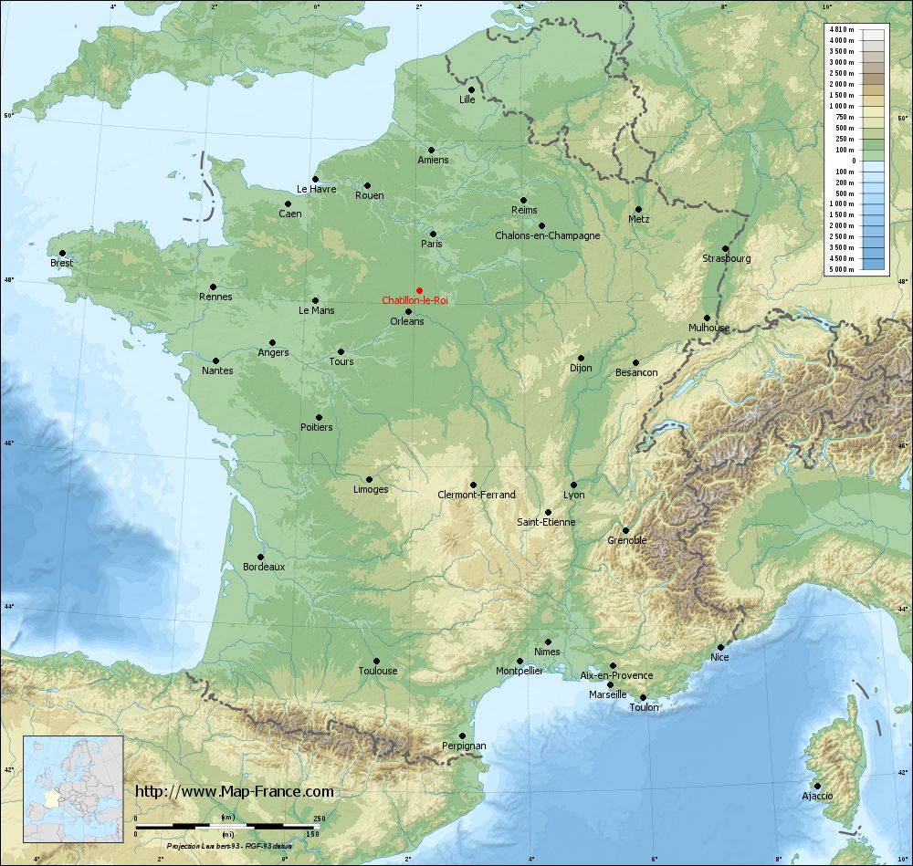
See the map of Châtillon-le-Roi in full screen (1000 x 949)
|
At left, here is the location of Châtillon-le-Roi on the relief France map in Lambert 93 coordinates.
Here are the altitudes of Châtillon-le-Roi :
- Town hall altitude of Châtillon-le-Roi is 130 meters
- Minimum altitude of Châtillon-le-Roi is 118 meters
- Maximum altitude of Châtillon-le-Roi is 136 meters
- Medium altitude of Châtillon-le-Roi is 127 meters
Here are the altitudes of Orléans, prefecture of Loiret department:
- Town hall altitude of Orléans is 110 meters
- Minimum altitude of Orléans is 90 meters
- Maximum altitude of Orléans is 124 meters
- Medium altitude of Orléans is 107 meters
Here are the altitudes of the french biggest cities:
Paris : 33 meters
Marseille : 20 meters
Lyon : 237 meters
Toulouse : 146 meters
Nice : 10 meters
Nantes : 20 meters
Strasbourg : 144 meters
Montpellier : 35 meters
Bordeaux : 16 meters
Lille : 20 meters
Rennes : 35 meters
Reims : 83 meters
Click here for the terrain map of Châtillon-le-Roi in full screen:
Relief map of Châtillon-le-Roi
|
This relief map of Châtillon-le-Roi is reusable and modifiable by making a link to this page of the Map-France.com website or by using the given code :
|
Terrain base map of Châtillon-le-Roi
|

See the terrain base map of Châtillon-le-Roi in full screen (1000 x 949)
|
Small relief base map of Châtillon-le-Roi

|
This base map of Châtillon-le-Roi is reusable and modifiable by making a link to this page of the Map-France.com website or by using the given code :
|
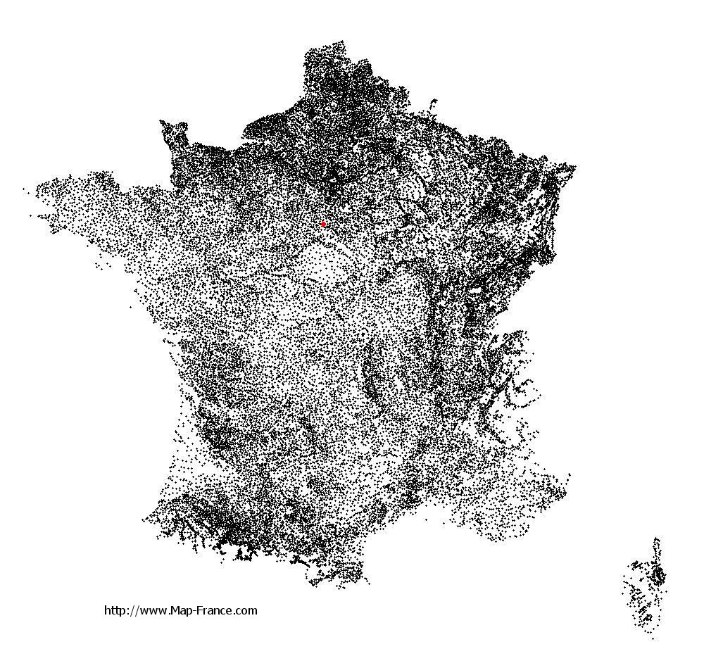
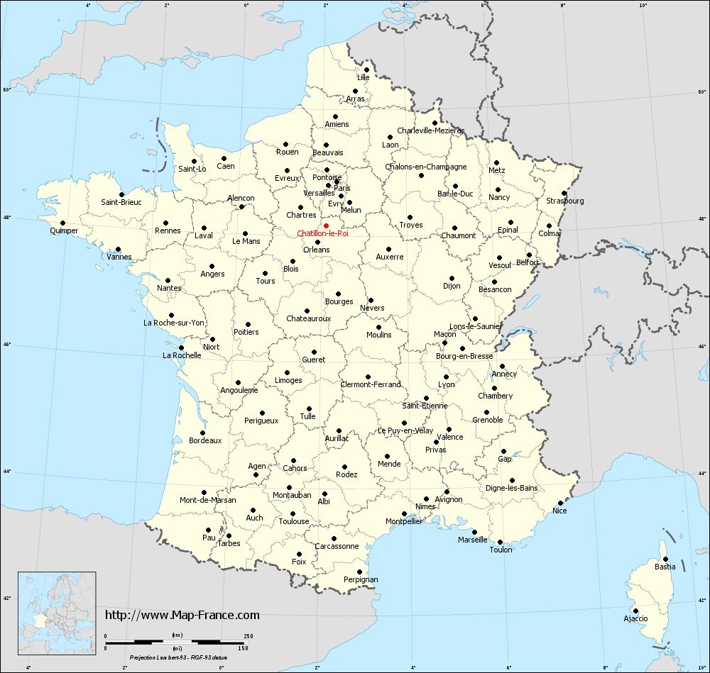
Map of Châtillon-le-Roi with regions and prefectures
|
View the map of Châtillon-le-Roi in full screen (1000 x 949)
|
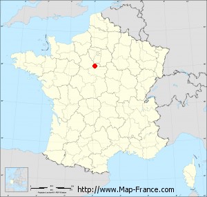
You will find the location of Châtillon-le-Roi on the map of France of regions in Lambert 93 coordinates. The town of Châtillon-le-Roi is located in the department of Loiret of the french region Centre.
Geographical sexagesimal coordinates / GPS (WGS84):
Latitude: 48° 09' 48'' North
Longitude: 02° 06' 24'' East
Geographical decimal coordinates :
Latitude: 48.163 degrees (48.163° North)
Longitude: 2.109 degrees (2.109° East)
Lambert 93 coordinates :
X: 6 336 hectometers
Y: 67 851 hectometers
Lambert 2 coordinates :
X: 5 829 hectometers
Y: 23 516 hectometers
Below, the geographical coordinates of Orléans, prefecture of the Loiret department:
Geographical sexagesimal coordinates / GPS (WGS84):
Latitude: 47° 54' 08'' North
Longitude: 01° 54' 15'' East
Geographical decimal coordinates :
Latitude: 47.904 degrees (47.904° North)
Longitude: 1.907 degrees (1.907° East)
Lambert 93 coordinates :
X: 6 181 hectometers
Y: 67 563 hectometers
Lambert 2 coordinates :
X: 5 677 hectometers
Y: 23 226 hectometers
|
This map of Châtillon-le-Roi is reusable and modifiable by making a link to this page of the Map-France.com website or by using the given code :
|
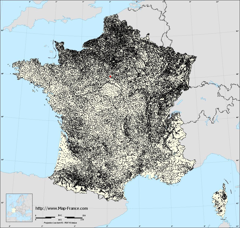
Map of Châtillon-le-Roi with departments and prefectures
|
Voir la carte of Châtillon-le-Roi en grand format (1000 x 949)
|
Here is the localization of Châtillon-le-Roi on the France map of departments in Lambert 93 coordinates. The city of Châtillon-le-Roi is shown on the map by a red point.
The town of Châtillon-le-Roi is located in the department of Loiret of the french region Centre.
The latitude of Châtillon-le-Roi is 48.163 degrees North.
The longitude of Châtillon-le-Roi is 2.109 degrees East.
Here the distance between Châtillon-le-Roi and the biggest cities of France:
Distances are calculated as the crow flies (orthodromic distance)
Distance between Châtillon-le-Roi and Paris : 79.45 kilometers
Distance between Châtillon-le-Roi and Marseille : 597.66 kilometers
Distance between Châtillon-le-Roi and Lyon : 337.61 kilometers
Distance between Châtillon-le-Roi and Toulouse : 509.53 kilometers
Distance between Châtillon-le-Roi and Nice : 635.12 kilometers
Distance between Châtillon-le-Roi and Nantes : 293.3 kilometers
Distance between Châtillon-le-Roi and Strasbourg : 419.27 kilometers
Distance between Châtillon-le-Roi and Montpellier : 524.05 kilometers
Distance between Châtillon-le-Roi and Bordeaux : 422.08 kilometers
Distance between Châtillon-le-Roi and Lille : 282.1 kilometers
Distance between Châtillon-le-Roi and Rennes : 281.02 kilometers
Distance between Châtillon-le-Roi and Reims : 186.16 kilometers
Clic here to see the map of Châtillon-le-Roi in full screen:
Châtillon-le-Roi on the map of french departments
|
This administrative map of Châtillon-le-Roi is reusable and modifiable by making a link to this page of the Map-France.com website or by using the given code :
|
Administrative base maps of Châtillon-le-Roi
|

See the administrative base map of Châtillon-le-Roi in full screen (1000 x 949)
|
Small administrative base map of Châtillon-le-Roi
|
This base map administrative of Châtillon-le-Roi is reusable and modifiable by making a link to this page of the Map-France.com website or by using the given code :
|
 French Version : http://www.cartesfrance.fr