|
The village of Chef-Haut is a small village located north east of France. The town of Chef-Haut is located in the department of Vosges of the french region Lorraine. The town of Chef-Haut is located in the township of Mirecourt part of the district of Neufchâteau. The area code for Chef-Haut is 88100 (also known as code INSEE), and the Chef-Haut zip code is 88500.
Geography and map of Chef-Haut :
The altitude of the city hall of Chef-Haut is approximately 380 meters. The Chef-Haut surface is 3.18 km ². The latitude and longitude of Chef-Haut are 48.356 degrees North and 6.016 degrees East.
Nearby cities and towns of Chef-Haut are :
Courcelles (54930) at 2.39 km, Oëlleville (88500) at 2.42 km, Blémerey (88500) at 2.47 km, Grimonviller (54115) at 3.34 km, Repel (88500) at 3.45 km, Frenelle-la-Petite (88500) at 3.54 km, Fraisnes-en-Saintois (54930) at 3.62 km, Aboncourt (54115) at 3.63 km.
(The distances to these nearby towns of Chef-Haut are calculated as the crow flies)
Population and housing of Chef-Haut :
The population of Chef-Haut was 52 in 1999, 48 in 2006 and 48 in 2007. The population density of Chef-Haut is 15.09 inhabitants per km². The number of housing of Chef-Haut was 26 in 2007. These homes of Chef-Haut consist of 19 main residences, 4 second or occasional homes and 3 vacant homes. |
|
|
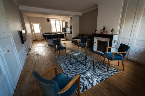
Hotel Chef-Haut
|
|
|
Book now ! Best Price Guaranteed, no booking fees, pay at the hotel with our partner Booking.com, leader in online hotel reservation.
Find all hotels of Chef-Haut : Hotel Chef-Haut
| |
|
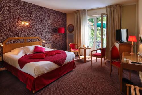
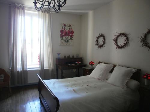
Hotel : Logis Burnel Et La Cle Des Champs

The Logis Burnel et la Clé des Champs is located in Rouvres en Xaintois, in the heart of Lorrain region of north eastern France. The hotel offers comfortable guestrooms with en...
Rate : from 72.00 €
to 138.00 €
Address : 22, Rue Jeanne D'arc 88500 Rouvres-en-Xaintois
Distance Hotel - Chef-Haut : 5.25 km
|
|
|
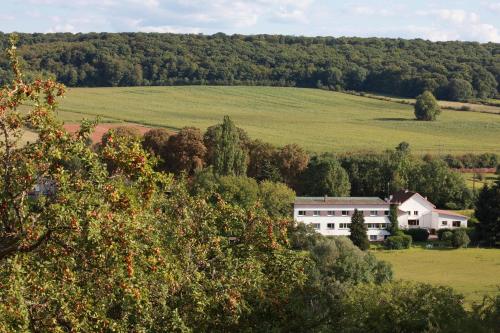
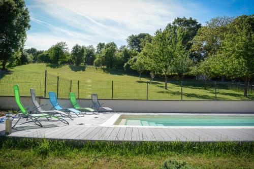
Nestled in a green environment in the Vosges region, the Auberge Du Parc is the ideal location for a relaxing holiday. It offers 17 rooms designed for ultimate comfort. Rooms i...
Price : from 58.30 €
to 74.80 €
Contact : Lieu Dit La Gare 88500 Baudricourt
Distance Hotel - Chef-Haut : 5.70 km
|
|
|
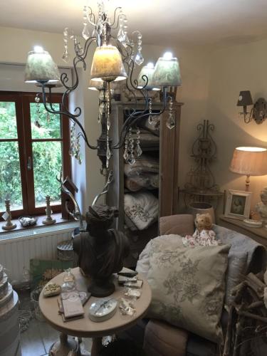
Bed and Breakfast : Le Jardin des Lys
Le Jardin des Lys is less than 15 km from the spa towns of Vittel and Contrexéville. This 19th-century manor house is surrounded by a large park and offers classic-style rooms w...
Prices : from 75.00 €
to 170.00 €
Contact : 8 rue de la Fontaine 88170 Gemmelaincourt
Distance Bed and Breakfast - Chef-Haut : 9.53 km
|
|
|
Guest accommodation : la madonnette

La madonnette offers accommodation in Ambacourt, just 4 km from Mazirot. Free WiFi is featured and free private parking is available on site. Rooms are fitted with a flat-scree...
Rate : from 40.00 €
to 55.00 €
Contact : 432 Rue Aubert 88500 Ambacourt
Distance Guest accommodation - Chef-Haut : 9.89 km
|
|
|
Bed and Breakfast : La Ferme des 3 Suissesses
Situated on farmland in the Vosges region, La Ferme des 3 Suissesses offers B&B accommodation with free Wi-Fi access in the village of Saint-Paul, just 5 km from the A31 motorwa...
Price : from 59.50 €
to 150.00 €
Address : 68 Rue de l'Eglise 88170 Saint-Paul
Distance Bed and Breakfast - Chef-Haut : 9.90 km
|
|
|
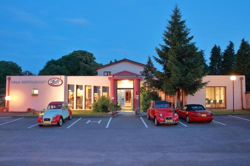
Hotel : Logis Le Luth
The Logis Le Luth is located in Mirecourt, 54 kilometres from Nancy. It offers rooms with free Wi-Fi internet access. Guests can enjoy traditional gourmet cuisine at the hotel’...
Prices : from 58.00 €
to 88.00 €
Contact : 164, av. de Chamiec. 88500 Mirecourt
Distance Hotel - Chef-Haut : 10.16 km
|
|
|
Apartment : Les Gites Historiques
Featuring accommodation with a terrace, Les Gites Historiques is an apartment set in Mirecourt. Guests staying at this apartment have access to a fully equipped open-plan kitche...
Contact : 3 rue Abbe Germini 88500 Mirecourt
Distance Apartment - Chef-Haut : 10.55 km
|
|
|
Guest accommodation : Le Repit
Situated in Favières in the Lorraine region, Le Repit features a terrace. It has pool views and free WiFi. The holiday home has a cable flat-screen TV and 2 bedrooms. There is ...
Contact : 40 Rue Saint-Amon 54115 Favières
Distance Guest accommodation - Chef-Haut : 12.32 km
|
|
|
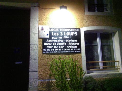
Guest accommodation : Gîte Les 3 Loups
Situated 15 km from Neufchâteau Train Station, this self-catering cottage has a fully equipped kitchen, a bathroom and a garden with sun loungers. It also has a private entrance...
Prices : from 30.00 €
to 85.00 €
Address : 10 rue du Breuil 88170 Châtenois
Distance Guest accommodation - Chef-Haut : 14.84 km
|
|
|
Guest accommodation : Logîte Touristique Les 3 Loups
This holiday home features a 24/7 front-desk and is located in Châtenois, just 2 km from the Motorway A31. Guests can relax on the furnished terrace, by the garden and there is ...
Rate : from 49.00 €
to 200.00 €
Contact : 10 rue du Breuil 88170 Châtenois
Distance Guest accommodation - Chef-Haut : 14.84 km
|
|
Find another hotel near Chef-Haut : Chef-Haut hotels list
|
Map of Chef-Haut
|
|
Map of Chef-Haut :
At right you can find the localization of Chef-Haut on the map of France. Below, this is the satellite map of Chef-Haut. A road map, and maps templates of Chef-Haut are available here : "road map of Chef-Haut". This map show Chef-Haut seen by the satellite of Google Map. To see the streets of Chef-Haut or move on another zone, use the buttons "zoom" and "map" on top of this dynamic map.
Search on the map of Chef-Haut :
To search hotels, housings, tourist information office, administrations or other services, use the Google search integrated to the map on the following page : "map Chef-Haut".
Hotels of Chef-Haut are listed on the map with the following icons: 
The map of Chef-Haut is centred in the following coordinates :
|

|
|
|
|
Print the map of Chef-Haut

Print the map of Chef-Haut : map of Chef-Haut
|
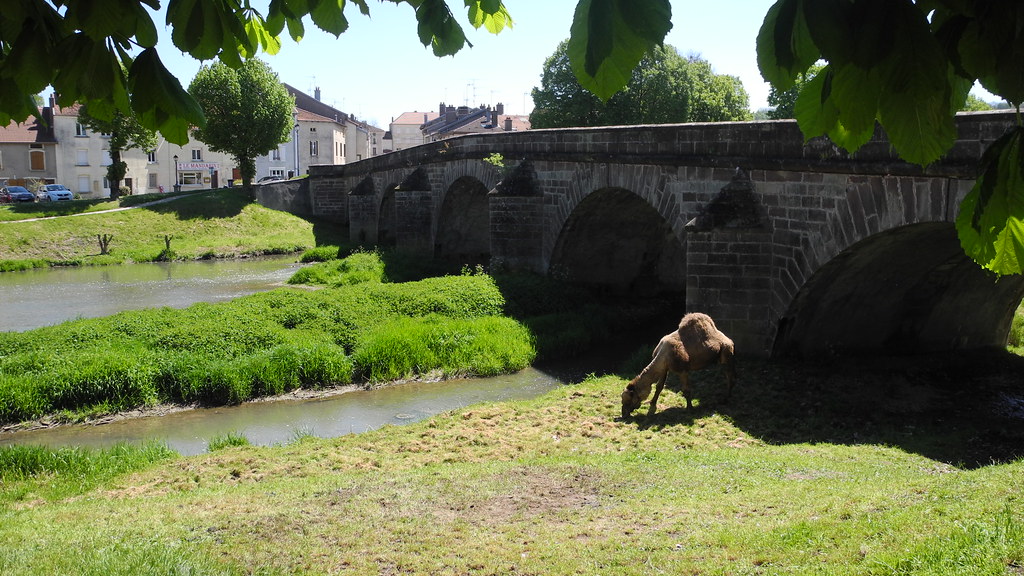
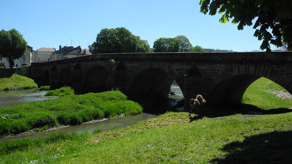
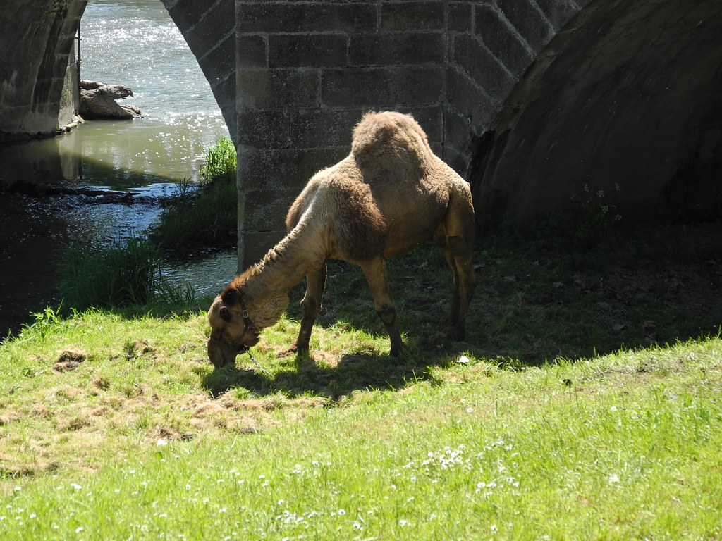
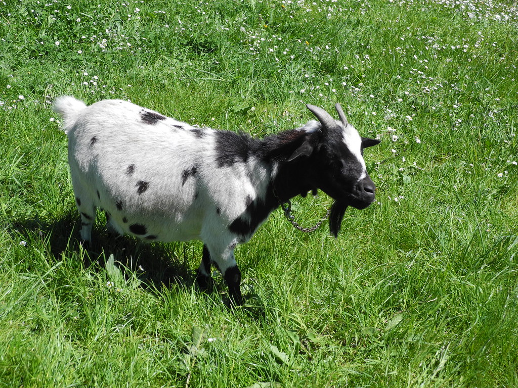
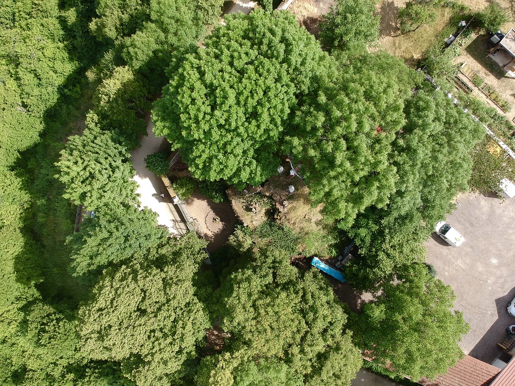
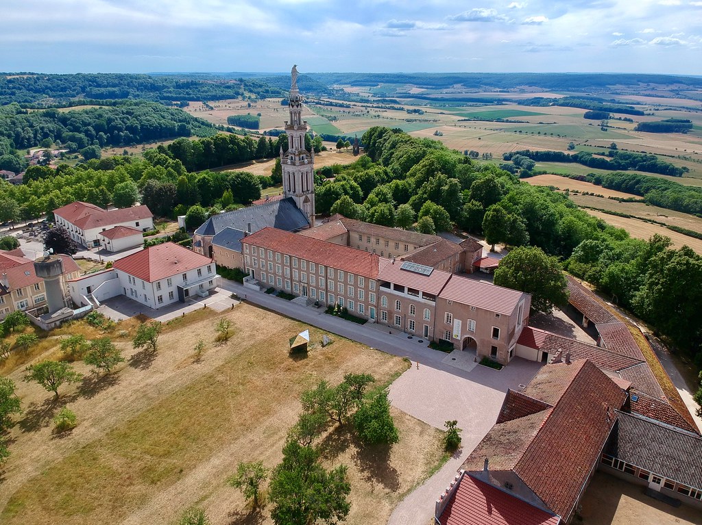
Photos Chef-Haut
|
See all photos of Chef-Haut :
Other photos of Chef-Haut and nearby towns can be found here: photos Chef-Haut
|
|
Chef-Haut weather forecast
Find next hours and 7 days weather forecast for Chef-Haut here : weather Chef-Haut (with english metrics)
This is the last weather forecast for Chef-Haut collected by the nearest observation station of Mirecourt.
Week Forecast:
The latest weather data for Chef-Haut were collected Friday, 31 July 2026 at 15:06 from the nearest observation station of Mirecourt.
| Friday, July 31st |
32°C 18°C
56%
64%
|
Rain
Temperature Max: 32°C Temperature Min: 18°C
Precipitation Probability: 56% (Rain)
Percentage of sky occluded by clouds: 64%
Wind speed: 11 km/h East
Humidity: 47%° UV Index: 5
Sunrise: 06:09 Sunset: 21:13 |
|
| | Saturday, August 1st |
29°C 17°C
58%
57%
|
Drizzle
Temperature Max: 29°C Temperature Min: 17°C
Precipitation Probability: 58% (Rain)
Percentage of sky occluded by clouds: 57%
Wind speed: 7 km/h South-East
Humidity: 57%° UV Index: 6
Sunrise: 06:10 Sunset: 21:12 |
|
| | Sunday, August 2nd |
31°C 16°C
0%
30%
|
Mostly clear
Temperature Max: 31°C Temperature Min: 16°C
Precipitation Probability: 0%
Percentage of sky occluded by clouds: 30%
Wind speed: 5 km/h Sout-East
Humidity: 49%° UV Index: 7
Sunrise: 06:12 Sunset: 21:11 |
|
| | Monday, August 3rd |
34°C 18°C
40%
53%
|
Thunderstorms
Temperature Max: 34°C Temperature Min: 18°C
Precipitation Probability: 40% (Rain)
Percentage of sky occluded by clouds: 53%
Wind speed: 11 km/h North
Humidity: 45%° UV Index: 6
Sunrise: 06:13 Sunset: 21:09 |
|
|
Attribution: 
|
|
Other maps, hotels and towns in france
Find another town, zip code, department, region, ...
Quick links Chef-Haut :
Make a link to this page of Chef-Haut with the following code :
|
|
|
 French Version : http://www.cartesfrance.fr/carte-france-ville/88100_Chef-Haut.html