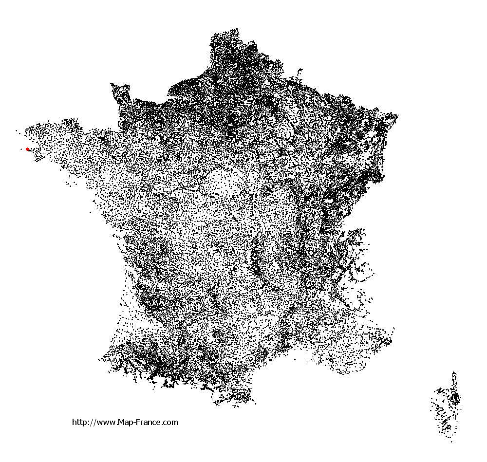
Cléden-Cap-Sizun on the relief France map in Lambert 93 coordinates
|

See the map of Cléden-Cap-Sizun in full screen (1000 x 949)
|
At left, here is the location of Cléden-Cap-Sizun on the relief France map in Lambert 93 coordinates.
Here are the altitudes of Cléden-Cap-Sizun :
- Town hall altitude of Cléden-Cap-Sizun is 50 meters
- Minimum altitude of Cléden-Cap-Sizun is 0 meters
- Maximum altitude of Cléden-Cap-Sizun is 86 meters
- Medium altitude of Cléden-Cap-Sizun is 43 meters
Here are the altitudes of Quimper, prefecture of Finistère department:
- Town hall altitude of Quimper is 30 meters
- Minimum altitude of Quimper is -5 meters
- Maximum altitude of Quimper is 151 meters
- Medium altitude of Quimper is 73 meters
Here are the altitudes of the french biggest cities:
Paris : 33 meters
Marseille : 20 meters
Lyon : 237 meters
Toulouse : 146 meters
Nice : 10 meters
Nantes : 20 meters
Strasbourg : 144 meters
Montpellier : 35 meters
Bordeaux : 16 meters
Lille : 20 meters
Rennes : 35 meters
Reims : 83 meters
Click here for the terrain map of Cléden-Cap-Sizun in full screen:
Relief map of Cléden-Cap-Sizun
|
This relief map of Cléden-Cap-Sizun is reusable and modifiable by making a link to this page of the Map-France.com website or by using the given code :
|
Terrain base map of Cléden-Cap-Sizun
|

See the terrain base map of Cléden-Cap-Sizun in full screen (1000 x 949)
|
Small relief base map of Cléden-Cap-Sizun

|
This base map of Cléden-Cap-Sizun is reusable and modifiable by making a link to this page of the Map-France.com website or by using the given code :
|
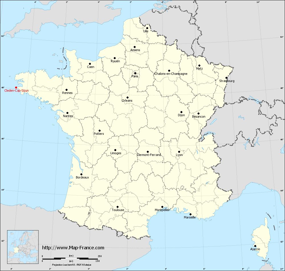
Map of Cléden-Cap-Sizun with regions and prefectures
|
View the map of Cléden-Cap-Sizun in full screen (1000 x 949)
|
You will find the location of Cléden-Cap-Sizun on the map of France of regions in Lambert 93 coordinates. The town of Cléden-Cap-Sizun is located in the department of Finistère of the french region Bretagne.
Geographical sexagesimal coordinates / GPS (WGS84):
Latitude: 48° 02' 51'' North
Longitude: 04° 38' 52'' West
Geographical decimal coordinates :
Latitude: 48.047 degrees (48.047° North)
Longitude: -4.647 degrees (4.647° West)
Lambert 93 coordinates :
X: 1 310 hectometers
Y: 67 995 hectometers
Lambert 2 coordinates :
X: 799 hectometers
Y: 23 618 hectometers
Below, the geographical coordinates of Quimper, prefecture of the Finistère department:
Geographical sexagesimal coordinates / GPS (WGS84):
Latitude: 47° 59' 45'' North
Longitude: 04° 05' 52'' West
Geographical decimal coordinates :
Latitude: 47.995 degrees (47.995° North)
Longitude: -4.109 degrees (4.109° West)
Lambert 93 coordinates :
X: 1 713 hectometers
Y: 67 899 hectometers
Lambert 2 coordinates :
X: 1 203 hectometers
Y: 23 526 hectometers
|
This map of Cléden-Cap-Sizun is reusable and modifiable by making a link to this page of the Map-France.com website or by using the given code :
|
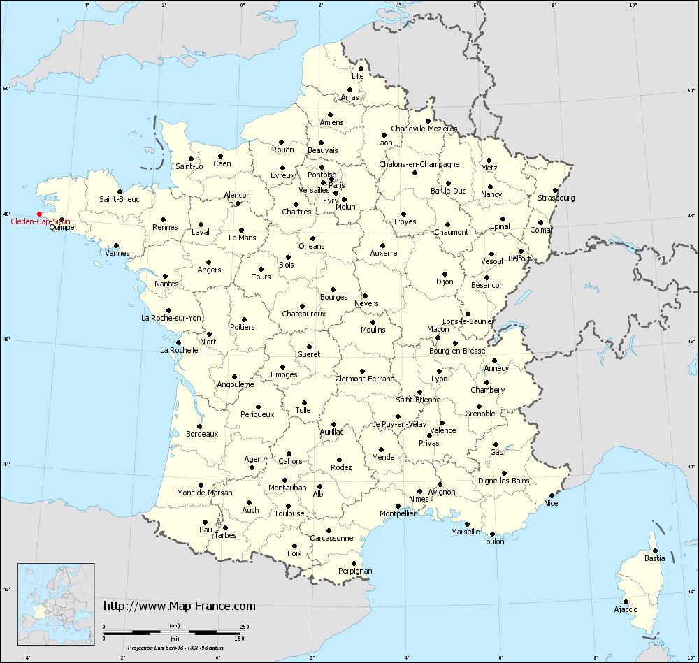
Map of Cléden-Cap-Sizun with departments and prefectures
|
Voir la carte of Cléden-Cap-Sizun en grand format (1000 x 949)
|
Here is the localization of Cléden-Cap-Sizun on the France map of departments in Lambert 93 coordinates. The city of Cléden-Cap-Sizun is shown on the map by a red point.
The town of Cléden-Cap-Sizun is located in the department of Finistère of the french region Bretagne.
The latitude of Cléden-Cap-Sizun is 48.047 degrees North.
The longitude of Cléden-Cap-Sizun is 4.647 degrees West.
Here the distance between Cléden-Cap-Sizun and the biggest cities of France:
Distances are calculated as the crow flies (orthodromic distance)
Distance between Cléden-Cap-Sizun and Paris : 522.95 kilometers
Distance between Cléden-Cap-Sizun and Marseille : 940.54 kilometers
Distance between Cléden-Cap-Sizun and Lyon : 762.71 kilometers
Distance between Cléden-Cap-Sizun and Toulouse : 682.97 kilometers
Distance between Cléden-Cap-Sizun and Nice : 1038.27 kilometers
Distance between Cléden-Cap-Sizun and Nantes : 249.16 kilometers
Distance between Cléden-Cap-Sizun and Strasbourg : 917.36 kilometers
Distance between Cléden-Cap-Sizun and Montpellier : 822.85 kilometers
Distance between Cléden-Cap-Sizun and Bordeaux : 473.06 kilometers
Distance between Cléden-Cap-Sizun and Lille : 625.92 kilometers
Distance between Cléden-Cap-Sizun and Rennes : 220.31 kilometers
Distance between Cléden-Cap-Sizun and Reims : 650.65 kilometers
Clic here to see the map of Cléden-Cap-Sizun in full screen:
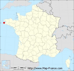
Cléden-Cap-Sizun on the map of french departments
|
This administrative map of Cléden-Cap-Sizun is reusable and modifiable by making a link to this page of the Map-France.com website or by using the given code :
|
Administrative base maps of Cléden-Cap-Sizun
|

See the administrative base map of Cléden-Cap-Sizun in full screen (1000 x 949)
|
Small administrative base map of Cléden-Cap-Sizun
|
This base map administrative of Cléden-Cap-Sizun is reusable and modifiable by making a link to this page of the Map-France.com website or by using the given code :
|
 French Version : http://www.cartesfrance.fr