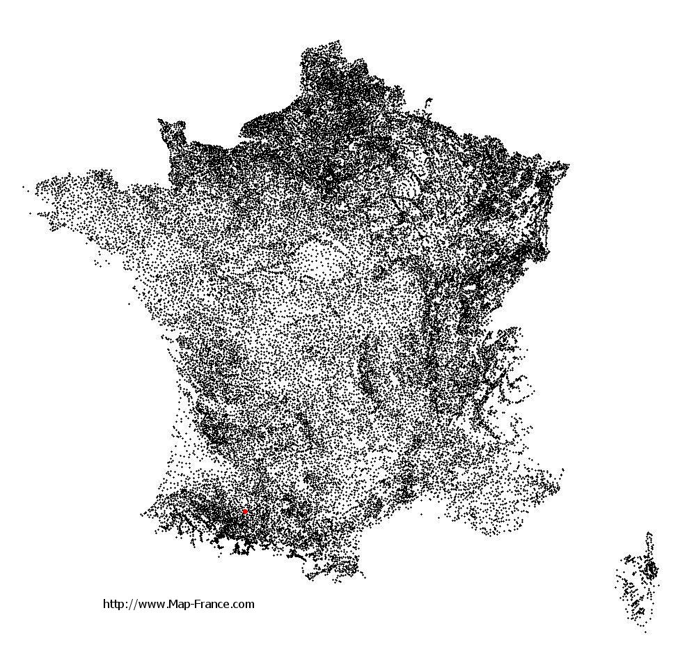
Clermont-Pouyguillès on the relief France map in Lambert 93 coordinates
|

See the map of Clermont-Pouyguillès in full screen (1000 x 949)
|
At left, here is the location of Clermont-Pouyguillès on the relief France map in Lambert 93 coordinates.
Here are the altitudes of Clermont-Pouyguillès :
- Town hall altitude of Clermont-Pouyguillès is 200 meters
- Minimum altitude of Clermont-Pouyguillès is 181 meters
- Maximum altitude of Clermont-Pouyguillès is 281 meters
- Medium altitude of Clermont-Pouyguillès is 231 meters
Here are the altitudes of Auch, prefecture of Gers department:
- Town hall altitude of Auch is 134 meters
- Minimum altitude of Auch is 115 meters
- Maximum altitude of Auch is 281 meters
- Medium altitude of Auch is 198 meters
Here are the altitudes of the french biggest cities:
Paris : 33 meters
Marseille : 20 meters
Lyon : 237 meters
Toulouse : 146 meters
Nice : 10 meters
Nantes : 20 meters
Strasbourg : 144 meters
Montpellier : 35 meters
Bordeaux : 16 meters
Lille : 20 meters
Rennes : 35 meters
Reims : 83 meters
Click here for the terrain map of Clermont-Pouyguillès in full screen:
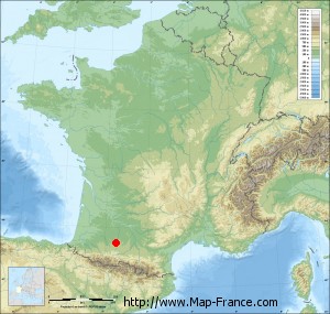
Relief map of Clermont-Pouyguillès
|
This relief map of Clermont-Pouyguillès is reusable and modifiable by making a link to this page of the Map-France.com website or by using the given code :
|
Terrain base map of Clermont-Pouyguillès
|

See the terrain base map of Clermont-Pouyguillès in full screen (1000 x 949)
|
Small relief base map of Clermont-Pouyguillès
|
This base map of Clermont-Pouyguillès is reusable and modifiable by making a link to this page of the Map-France.com website or by using the given code :
|
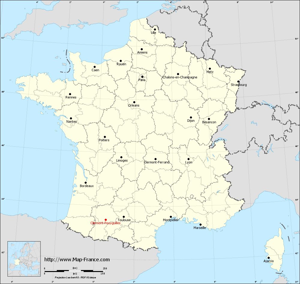
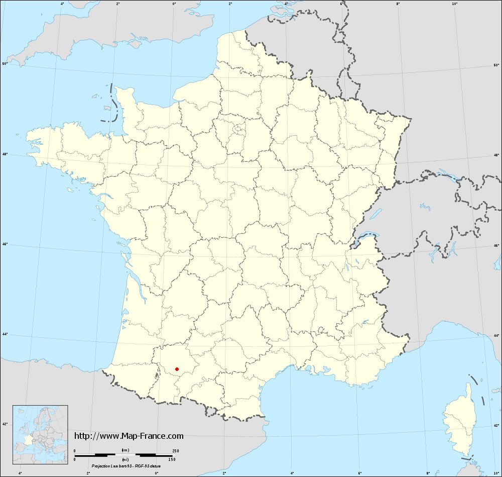
Map of Clermont-Pouyguillès with regions and prefectures
|
View the map of Clermont-Pouyguillès in full screen (1000 x 949)
|
You will find the location of Clermont-Pouyguillès on the map of France of regions in Lambert 93 coordinates. The town of Clermont-Pouyguillès is located in the department of Gers of the french region Midi-Pyrénées.
Geographical sexagesimal coordinates / GPS (WGS84):
Latitude: 43° 28' 16'' North
Longitude: 00° 31' 22'' East
Geographical decimal coordinates :
Latitude: 43.471 degrees (43.471° North)
Longitude: 0.523 degrees (0.523° East)
Lambert 93 coordinates :
X: 4 995 hectometers
Y: 62 667 hectometers
Lambert 2 coordinates :
X: 4 530 hectometers
Y: 18 316 hectometers
Below, the geographical coordinates of Auch, prefecture of the Gers department:
Geographical sexagesimal coordinates / GPS (WGS84):
Latitude: 43° 38' 43'' North
Longitude: 00° 35' 19'' East
Geographical decimal coordinates :
Latitude: 43.645 degrees (43.645° North)
Longitude: 0.588 degrees (0.588° East)
Lambert 93 coordinates :
X: 5 054 hectometers
Y: 62 859 hectometers
Lambert 2 coordinates :
X: 4 588 hectometers
Y: 18 508 hectometers
|
This map of Clermont-Pouyguillès is reusable and modifiable by making a link to this page of the Map-France.com website or by using the given code :
|
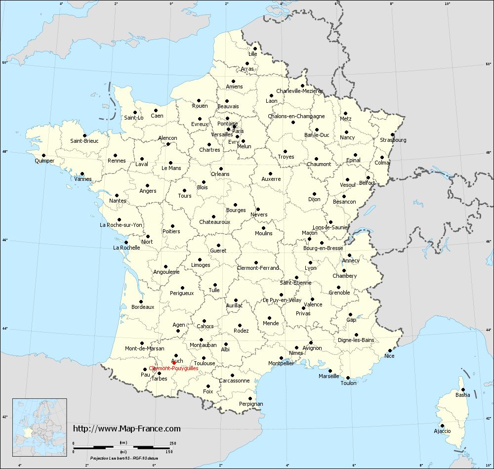
Map of Clermont-Pouyguillès with departments and prefectures
|
Voir la carte of Clermont-Pouyguillès en grand format (1000 x 949)
|
Here is the localization of Clermont-Pouyguillès on the France map of departments in Lambert 93 coordinates. The city of Clermont-Pouyguillès is shown on the map by a red point.
The town of Clermont-Pouyguillès is located in the department of Gers of the french region Midi-Pyrénées.
The latitude of Clermont-Pouyguillès is 43.471 degrees North.
The longitude of Clermont-Pouyguillès is 0.523 degrees East.
Here the distance between Clermont-Pouyguillès and the biggest cities of France:
Distances are calculated as the crow flies (orthodromic distance)
Distance between Clermont-Pouyguillès and Paris : 614.96 kilometers
Distance between Clermont-Pouyguillès and Marseille : 394.18 kilometers
Distance between Clermont-Pouyguillès and Lyon : 425.26 kilometers
Distance between Clermont-Pouyguillès and Toulouse : 76.03 kilometers
Distance between Clermont-Pouyguillès and Nice : 542.81 kilometers
Distance between Clermont-Pouyguillès and Nantes : 446.83 kilometers
Distance between Clermont-Pouyguillès and Strasbourg : 795.59 kilometers
Distance between Clermont-Pouyguillès and Montpellier : 270.31 kilometers
Distance between Clermont-Pouyguillès and Bordeaux : 175.74 kilometers
Distance between Clermont-Pouyguillès and Lille : 817.62 kilometers
Distance between Clermont-Pouyguillès and Rennes : 542.62 kilometers
Distance between Clermont-Pouyguillès and Reims : 696.74 kilometers
Clic here to see the map of Clermont-Pouyguillès in full screen:
Clermont-Pouyguillès on the map of french departments
|
This administrative map of Clermont-Pouyguillès is reusable and modifiable by making a link to this page of the Map-France.com website or by using the given code :
|
Administrative base maps of Clermont-Pouyguillès
|
See the administrative base map of Clermont-Pouyguillès in full screen (1000 x 949)
|
Small administrative base map of Clermont-Pouyguillès
|
This base map administrative of Clermont-Pouyguillès is reusable and modifiable by making a link to this page of the Map-France.com website or by using the given code :
|
 French Version : http://www.cartesfrance.fr