|
The village of Cléry is a small village located south east of France. The town of Cléry is located in the department of Savoie of the french region Rhône-Alpes. The town of Cléry is located in the township of Grésy-sur-Isère part of the district of Albertville. The area code for Cléry is 73086 (also known as code INSEE), and the Cléry zip code is 73460.
Geography and map of Cléry :
The altitude of the city hall of Cléry is approximately 620 meters. The Cléry surface is 10.90 km ². The latitude and longitude of Cléry are 45.644 degrees North and 6.294 degrees East.
Nearby cities and towns of Cléry are :
Frontenex (73460) at 1.52 km, Tournon (73460) at 1.79 km, Saint-Vital (73460) at 1.79 km, Verrens-Arvey (73460) at 2.08 km, Plancherine (73200) at 2.94 km, Montailleur (73460) at 3.26 km, Sainte-Hélène-sur-Isère (73460) at 3.78 km, Notre-Dame-des-Millières (73460) at 4.37 km.
(The distances to these nearby towns of Cléry are calculated as the crow flies)
Population and housing of Cléry :
The population of Cléry was 226 in 1999, 366 in 2006 and 386 in 2007. The population density of Cléry is 35.41 inhabitants per km². The number of housing of Cléry was 190 in 2007. These homes of Cléry consist of 144 main residences, 40 second or occasional homes and 6 vacant homes. |
|
|
Hotel Cléry
|
|
|
Book now ! Best Price Guaranteed, no booking fees, pay at the hotel with our partner Booking.com, leader in online hotel reservation.
Find all hotels of Cléry : Hotel Cléry
| |
|
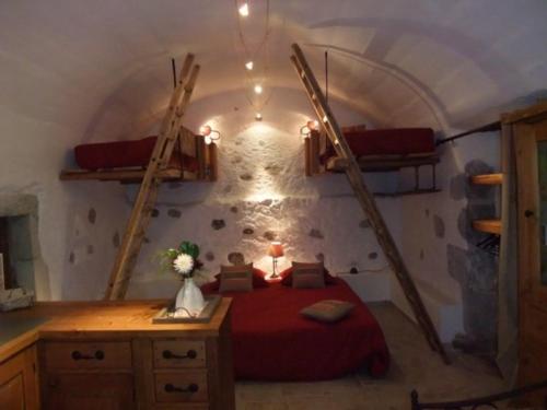
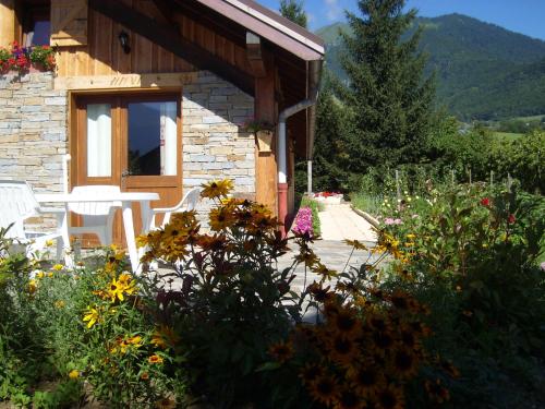
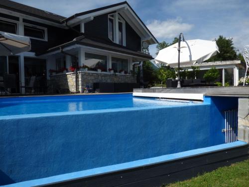
Apartment : Le Domaine du Grand Cellier Gîtes Appartement en Savoie
Set on a 5-hectare domain, Le Domaine du Grand Cellier Gîtes Appartement savoyard is a 17th-century farm house located in Tournon. It proposes self-catering apartments and is 12...
Address : Au Grand Cellier 73460 Tournon
Distance Apartment - Cléry : 1.83 km
|
|
|
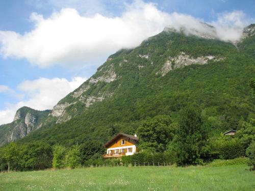
Guest accommodation : Gite des Sources d'Arvey

Offering free WiFi and mountain views, Gite des Sources d'Arvey is an accommodation set in Verrens-Arvey. The accommodation is 43 km from Annecy. The holiday home has 6 bedroom...
Contact : 1467 Route de Tamié, Verrens-Arvey 73460 Verrens-Arvey
Distance Guest accommodation - Cléry : 1.83 km
|
|
|
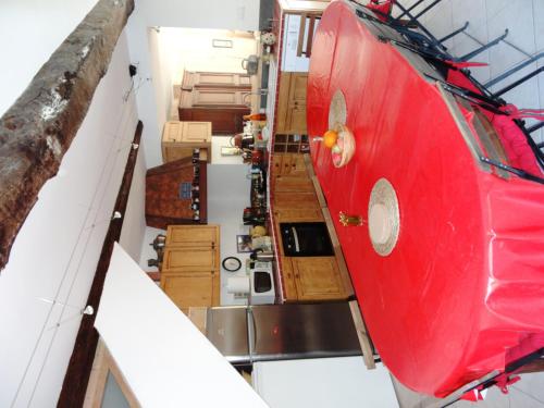
Bed and Breakfast : Le Domaine du Grand Cellier Chambres d'hôtes en Savoie
Set on a 5-hectare domain, Le Domaine du Grand Cellier Chambre d'hôtes savoyardes is a 17th-century farm house located in Tournon. Guests can relax in the common area with a fla...
Prices : from 70.00 €
to 209.00 €
Contact : Au Grand Cellier 73460 Tournon
Distance Bed and Breakfast - Cléry : 1.85 km
|
|
|
Guest accommodation : Domaine du Grand Cellier - Insolite en Savoie
Set on a 5-hectare estate, Le Domaine du Grand Cellier is a 17th-century property located 12 km from Seythenex Ski Resort. It offers unique accommodation and a common area with ...
Rate : from 80.00 €
to 150.00 €
Contact : Au Grand Cellier, 1191 route du Col (De Tamié) 73460 Tournon
Distance Guest accommodation - Cléry : 1.87 km
|
|
|
Guest accommodation : Chez Maryse
Featuring barbecue facilities, a garden, and a terrace, Chez Maryse provides accommodation in Verrens-Arvey with free WiFi and mountain views. The property has garden views. Th...
Address : 84 Allée de la Perrière 73460 Verrens-Arvey
Distance Guest accommodation - Cléry : 2.52 km
|
|
|
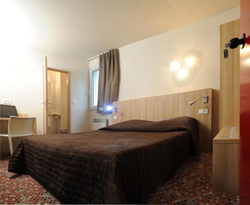
Hotel : Hôtel & Résidence Albertville
Hôtel & Résidence Albertville is just 8 km from the centre of Albertville. It offers a terrace and ski storage. The guest rooms feature a flat-screen TV. They also include a pr...
Prices : from 42.00 €
to 130.00 €
Contact : Rue du Bois de L'ile - ZA Tetrapole 73460 Tournon
Distance Hotel - Cléry : 2.92 km
|
|
|
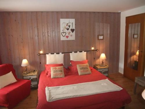
Bed and Breakfast : Chambres et Table d'Hotes "Gaïa"
Chambres et Table d'Hotes "Gaïa" is just 14 km from both Albertville and Aiguebelle. It provides a continental-style breakfast every morning with homemade brioche, pastries and ...
Rate : from 82.00 €
to 115.00 €
Contact : Gaia 73460 Montailleur
Distance Bed and Breakfast - Cléry : 3.19 km
|
|
|
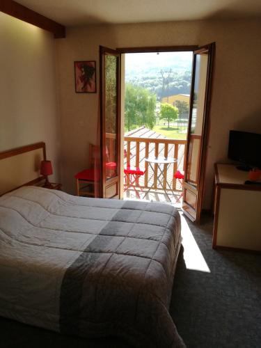
Hotel : Hôtel Le Sainte Hélène
Hôtel Le Sainte Hélène is located in Saint-Hélène-sur-Isère, just 10 km from Albertville and a 35-minute drive from the Valmorel ski area, between the Maurienne and the Tarentai...
Price : from 55.00 €
to 85.00 €
Contact : 1842 Chemin du Roy 73460 Sainte-Hélène-sur-Isère
Distance Hotel - Cléry : 3.33 km
|
|
|
Bed and Breakfast : Le chancellier
Le chancellier features a seasonal outdoor swimming pool and a terrace in Gilly-sur-Isère. Both free WiFi and private parking are available at the bed and breakfast. At Le chan...
Prices : from 100.00 €
to 120.00 €
Address : 1126 route de Vizeron 73200 Gilly-sur-Isère
Distance Bed and Breakfast - Cléry : 3.39 km
|
|
|
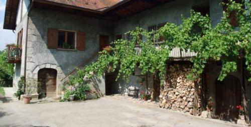
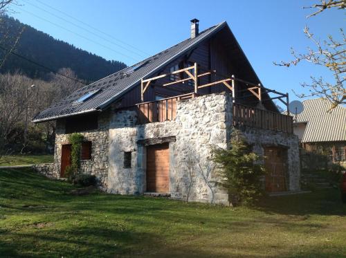
Guest accommodation : Maison Glaces & Cows
Located in Plancherine in the Rhône-Alps region, Maison Glaces & Cows features a terrace and mountain views. Housed in a building dating from 19th century, the farm stay is in a...
Contact : Malapalud 98 Chemin de Malapalud 73200 Plancherine
Distance Guest accommodation - Cléry : 3.48 km
|
|
Find another hotel near Cléry : Cléry hotels list
|
Map of Cléry
|
|
Map of Cléry :
At right you can find the localization of Cléry on the map of France. Below, this is the satellite map of Cléry. A road map, and maps templates of Cléry are available here : "road map of Cléry". This map show Cléry seen by the satellite of Google Map. To see the streets of Cléry or move on another zone, use the buttons "zoom" and "map" on top of this dynamic map.
Search on the map of Cléry :
To search hotels, housings, tourist information office, administrations or other services, use the Google search integrated to the map on the following page : "map Cléry".
Hotels of Cléry are listed on the map with the following icons: 
The map of Cléry is centred in the following coordinates :
|

|
|
|
|
Print the map of Cléry

Print the map of Cléry : map of Cléry
|
Photos Cléry
|
See all photos of Cléry :
Other photos of Cléry and nearby towns can be found here: photos Cléry
|
|
Cléry weather forecast
Find next hours and 7 days weather forecast for Cléry here : weather Cléry (with english metrics)
This is the last weather forecast for Cléry collected by the nearest observation station of Grésy-sur-Isère.
Week Forecast:
The latest weather data for Cléry were collected Friday, 31 July 2026 at 11:05 from the nearest observation station of Grésy-sur-Isère.
| Friday, July 31st |
32°C 20°C
39%
45%
|
Drizzle
Temperature Max: 32°C Temperature Min: 20°C
Precipitation Probability: 39% (Rain)
Percentage of sky occluded by clouds: 45%
Wind speed: 6 km/h North-East
Humidity: 51%° UV Index: 8
Sunrise: 06:17 Sunset: 21:04 |
|
| | Saturday, August 1st |
30°C 20°C
32%
41%
|
Drizzle
Temperature Max: 30°C Temperature Min: 20°C
Precipitation Probability: 32% (Rain)
Percentage of sky occluded by clouds: 41%
Wind speed: 5 km/h East
Humidity: 58%° UV Index: 7
Sunrise: 06:18 Sunset: 21:03 |
|
| | Sunday, August 2nd |
33°C 19°C
27%
13%
|
Mostly clear
Temperature Max: 33°C Temperature Min: 19°C
Precipitation Probability: 27%
Percentage of sky occluded by clouds: 13%
Wind speed: 4 km/h East
Humidity: 44%° UV Index: 8
Sunrise: 06:19 Sunset: 21:02 |
|
| | Monday, August 3rd |
34°C 21°C
27%
33%
|
Mostly clear
Temperature Max: 34°C Temperature Min: 21°C
Precipitation Probability: 27% (Rain)
Percentage of sky occluded by clouds: 33%
Wind speed: 4 km/h North-East
Humidity: 44%° UV Index: 7
Sunrise: 06:20 Sunset: 21:00 |
|
|
Attribution: 
|
|
Other maps, hotels and towns in france
Find another town, zip code, department, region, ...
Quick links Cléry :
Make a link to this page of Cléry with the following code :
|
|
|
 French Version : http://www.cartesfrance.fr/carte-france-ville/73086_Clery.html


