|
The village of Conand is a small village located south east of France. The town of Conand is located in the department of Ain of the french region Rhône-Alpes. The town of Conand is located in the township of Saint-Rambert-en-Bugey part of the district of Belley. The area code for Conand is 01111 (also known as code INSEE), and the Conand zip code is 01230.
Geography and map of Conand :
The altitude of the city hall of Conand is approximately 420 meters. The Conand surface is 15.28 km ². The latitude and longitude of Conand are 45.893 degrees North and 5.473 degrees East.
Nearby cities and towns of Conand are :
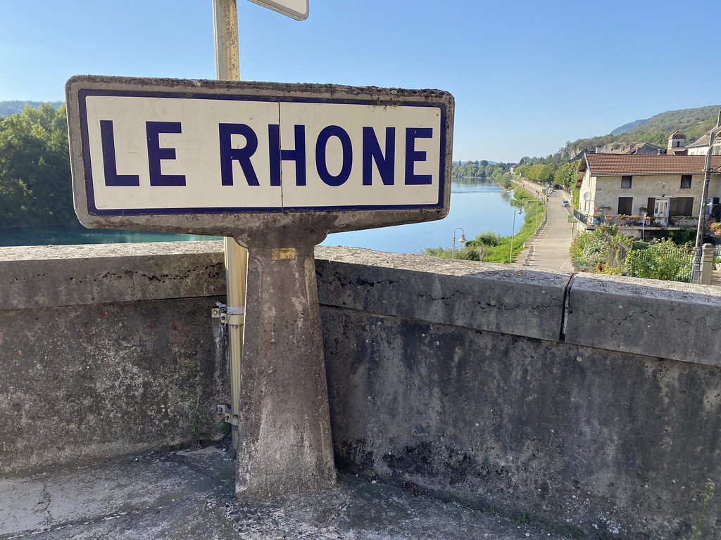
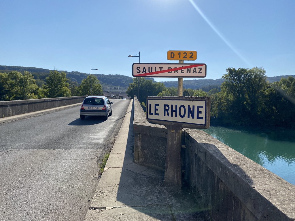
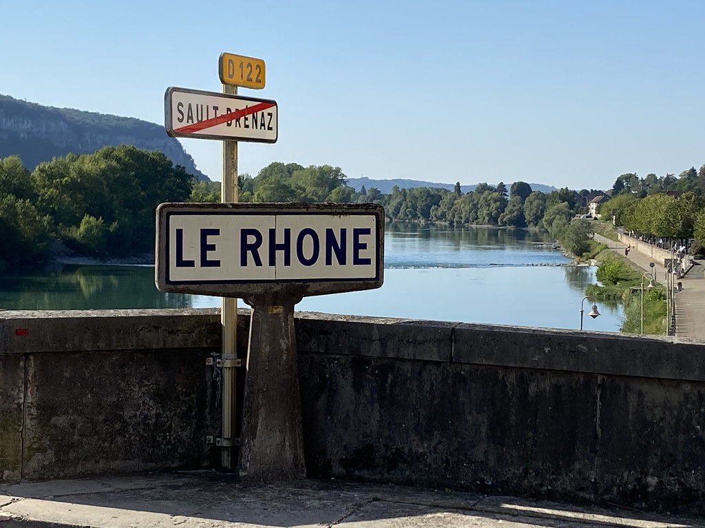
Arandas (01230) at 1.26 km, Cleyzieu (01230) at 3.70 km, Tenay (01230) at 4.06 km, Souclin (01150) at 4.62 km, Hostiaz (01110) at 4.86 km, Argis (01230) at 4.86 km, Villebois (01150) at 5.84 km, Sault-Brénaz (01150) at 6.61 km.
(The distances to these nearby towns of Conand are calculated as the crow flies)
Population and housing of Conand :
The population of Conand was 69 in 1999, 104 in 2006 and 104 in 2007. The population density of Conand is 6.81 inhabitants per km². The number of housing of Conand was 113 in 2007. These homes of Conand consist of 49 main residences, 55 second or occasional homes and 9 vacant homes. |
|
|
Hotel Conand
|
|
|
Book now ! Best Price Guaranteed, no booking fees, pay at the hotel with our partner Booking.com, leader in online hotel reservation.
Find all hotels of Conand : Hotel Conand
| |
|
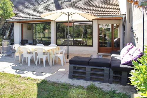
Guest accommodation : Holiday Home Grande rue

Holiday Home Grande rue is located in Cleyzieu. Guests staying at this holiday home have access to a fully equipped kitchen. The holiday home comes with a satellite TV. Bourg-...
Rate : from 343.22 €
Address : grande rue 1230 Cleyzieu
Distance Guest accommodation - Conand : 3.71 km
|
|
|
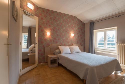
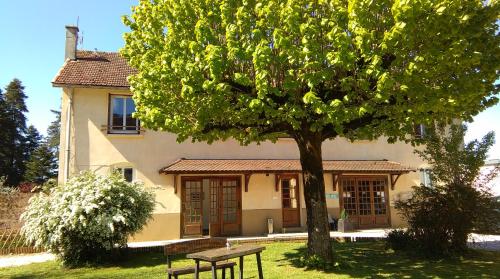
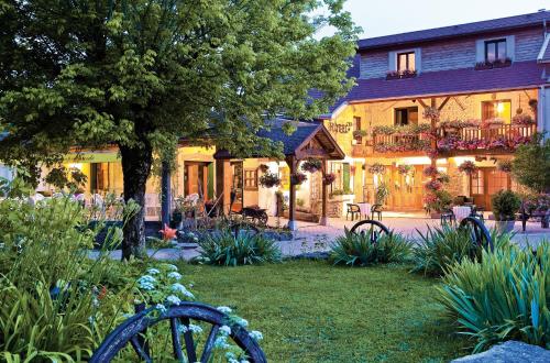
Hotel : Domaine des Cèdres
Set in a house from the 17th century, Domaine des Cèdres offers guestrooms with views of the surrounding countryside. It is located 57 km from Lyon along the Rhône River and wal...
Price : from 59.50 €
to 105.00 €
Contact : D19, 1180 route des hauts Fourneaux 01150 Villebois
Distance Hotel - Conand : 6.88 km
|
|
|
Hotel : Hôtel du Monolithe
This hotel located in Villebois offers rooms with free Wi-Fi connection and free private parking. Bicycle rental is available. The property is 10 km from La Balme Caves and 25 k...
Prices : from 49.00 €
to 110.00 €
Contact : 1180 Route des Hauts-Fourneaux 01150 Villebois
Distance Hotel - Conand : 6.90 km
|
|
|
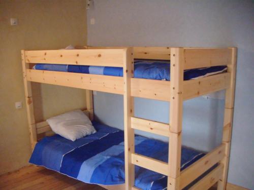
Guest accommodation : Gîte de pouvillieu
Offering a garden, Gîte de pouvillieu is located in the mountains in Cérarge, 45 km from Annecy. Aix-les-Bains is 39 km from the property. Free WiFi is available and free privat...
Contact : lieu dit chappe 01110 Cérarge
Distance Guest accommodation - Conand : 6.94 km
|
|
|
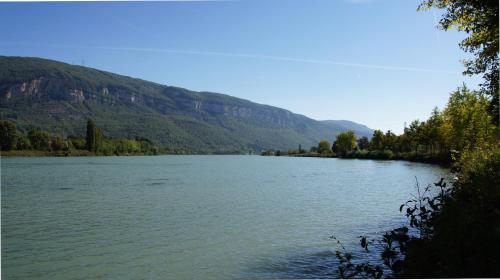
Hotel : La Source

Located on the banks of the Rhone, along the Via Rhona. This hotel offers soundproofed guest rooms with an LCD TV. A continental breakfast is prepared daily and the medieval to...
Price : from 59.00 €
to 105.00 €
Address : RD1075 38390 Porcieu-Amblagnieu
Distance Hotel - Conand : 7.18 km
|
|

|
Guest accommodation : L'Horizon
L'Horizon is a holiday home situated in La Burbanche, in a private setting surrounded by nature. The property is 80 km from Annecy and boasts mountain views from an altitude of ...
Contact : 1 Chemin du Bois Joli, le Fays 01510 La Burbanche
Distance Guest accommodation - Conand : 7.30 km
|
|
|
Guest accommodation : Au chalet d'Anna
Featuring free WiFi and a balcony with mountains views, Au chalet d'Anna is a holiday home, situated in Saint Rambert en Bugey, in the hamlet of Grattoux. The unit is 70 km from...
Contact : Route de four hameaux de Gratoux 01230 Saint-Rambert-en-Bugey
Distance Guest accommodation - Conand : 7.74 km
|
|
|
Hotel : L'Auberge Campagnarde
Located in Evosges, L'Auberge Campagnarde features a seasonal outdoor swimming pool. This 3-star hotel offers a shared lounge and free WiFi. The property features a children's p...
Contact : 4 Place Jean-Marie Jacquemet 01230 Evosges
Distance Hotel - Conand : 7.83 km
|
|
|
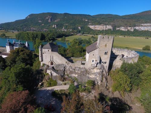
Guest accommodation : maison forte vertrieu
Offering a terrace and views of the river, maison forte vertrieu is set in a 13th-century castle in Vertrieu in the Rhône-Alps Region, 44 km from Lyon. Aix-les-Bains is 47 km f...
Prices : from 200.00 €
Address : 374 RUE DU RAZ BUISSON 38390 Vertrieu
Distance Guest accommodation - Conand : 8.29 km
|
|
|
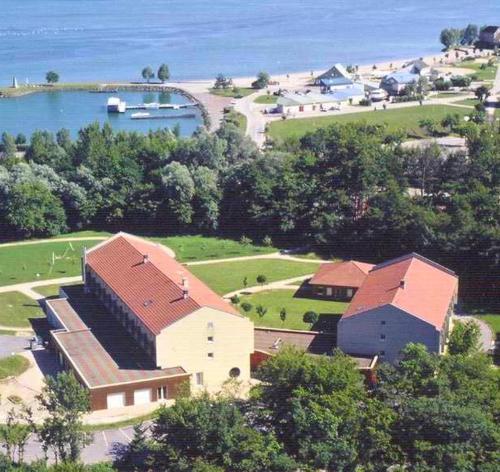
Hotel : Hôtel Vallée Bleue
Hôtel Centre Vallee Bleue is located in Montalieu-Vercieu, on the foothills of Bugey mountains and near the water sports centre of Vallée Bleue. Traditional cuisine is served in...
Rate : from 47.50 €
to 80.50 €
Contact : 19 Rue des Carrières 38390 Montalieu-Vercieu
Distance Hotel - Conand : 8.38 km
|
|
Find another hotel near Conand : Conand hotels list
|
Map of Conand
|
|
Map of Conand :
At right you can find the localization of Conand on the map of France. Below, this is the satellite map of Conand. A road map, and maps templates of Conand are available here : "road map of Conand". This map show Conand seen by the satellite of Google Map. To see the streets of Conand or move on another zone, use the buttons "zoom" and "map" on top of this dynamic map.
Search on the map of Conand :
To search hotels, housings, tourist information office, administrations or other services, use the Google search integrated to the map on the following page : "map Conand".
Hotels of Conand are listed on the map with the following icons: 
The map of Conand is centred in the following coordinates :
|

|
|
|
|
Print the map of Conand

Print the map of Conand : map of Conand
|
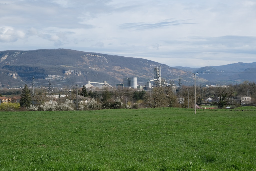
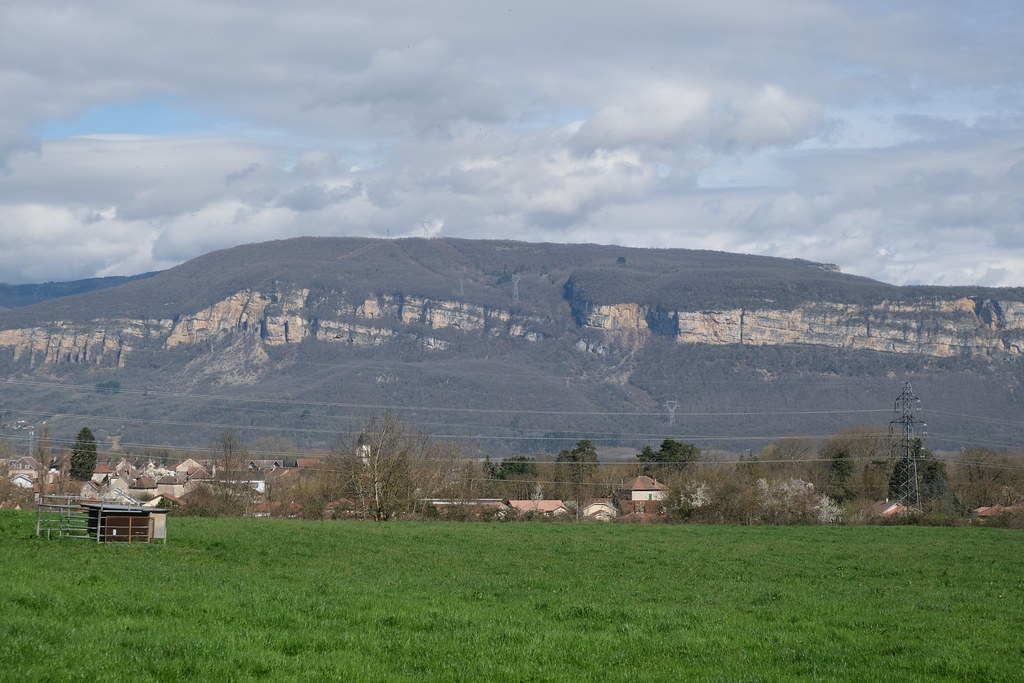
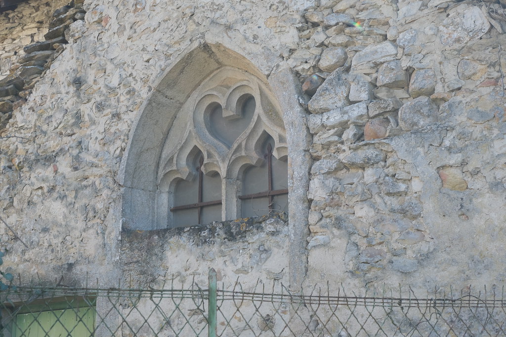
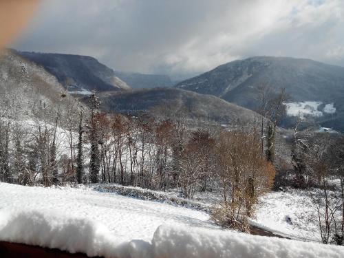
Photos Conand
|
See all photos of Conand :
Other photos of Conand and nearby towns can be found here: photos Conand
|
|
Conand weather forecast
Find next hours and 7 days weather forecast for Conand here : weather Conand (with english metrics)
This is the last weather forecast for Conand collected by the nearest observation station of Saint-Rambert-en-Bugey.
Week Forecast:
The latest weather data for Conand were collected Friday, 31 July 2026 at 08:01 from the nearest observation station of Saint-Rambert-en-Bugey.
| Friday, July 31st |
31°C 20°C
41%
68%
|
Drizzle
Temperature Max: 31°C Temperature Min: 20°C
Precipitation Probability: 41% (Rain)
Percentage of sky occluded by clouds: 68%
Wind speed: 7 km/h North-East
Humidity: 51%° UV Index: 7
Sunrise: 06:19 Sunset: 21:09 |
|
| | Saturday, August 1st |
30°C 19°C
0%
26%
|
Mostly clear
Temperature Max: 30°C Temperature Min: 19°C
Precipitation Probability: 0%
Percentage of sky occluded by clouds: 26%
Wind speed: 8 km/h South-East
Humidity: 59%° UV Index: 8
Sunrise: 06:20 Sunset: 21:08 |
|
| | Sunday, August 2nd |
33°C 19°C
0%
8%
|
Clear
Temperature Max: 33°C Temperature Min: 19°C
Precipitation Probability: 0%
Percentage of sky occluded by clouds: 8%
Wind speed: 5 km/h East
Humidity: 49%° UV Index: 8
Sunrise: 06:22 Sunset: 21:06 |
|
| | Monday, August 3rd |
34°C 22°C
47%
31%
|
Mostly clear
Temperature Max: 34°C Temperature Min: 22°C
Precipitation Probability: 47% (Rain)
Percentage of sky occluded by clouds: 31%
Wind speed: 12 km/h North
Humidity: 43%° UV Index: 7
Sunrise: 06:23 Sunset: 21:05 |
|
|
Attribution: 
|
|
Other maps, hotels and towns in france
Find another town, zip code, department, region, ...
Quick links Conand :
Make a link to this page of Conand with the following code :
|
|
|
 French Version : http://www.cartesfrance.fr/carte-france-ville/01111_Conand.html