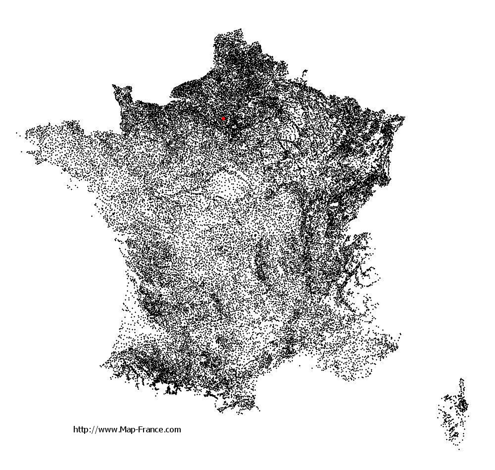
Condécourt on the relief France map in Lambert 93 coordinates
|
See the map of Condécourt in full screen (1000 x 949)
|
At left, here is the location of Condécourt on the relief France map in Lambert 93 coordinates.
Here are the altitudes of Condécourt :
- Town hall altitude of Condécourt is 50 meters
- Minimum altitude of Condécourt is 37 meters
- Maximum altitude of Condécourt is 127 meters
- Medium altitude of Condécourt is 82 meters
Here are the altitudes of Pontoise, prefecture of Val-d'Oise department:
- Town hall altitude of Pontoise is 62 meters
- Minimum altitude of Pontoise is 22 meters
- Maximum altitude of Pontoise is 87 meters
- Medium altitude of Pontoise is 55 meters
Here are the altitudes of the french biggest cities:
Paris : 33 meters
Marseille : 20 meters
Lyon : 237 meters
Toulouse : 146 meters
Nice : 10 meters
Nantes : 20 meters
Strasbourg : 144 meters
Montpellier : 35 meters
Bordeaux : 16 meters
Lille : 20 meters
Rennes : 35 meters
Reims : 83 meters
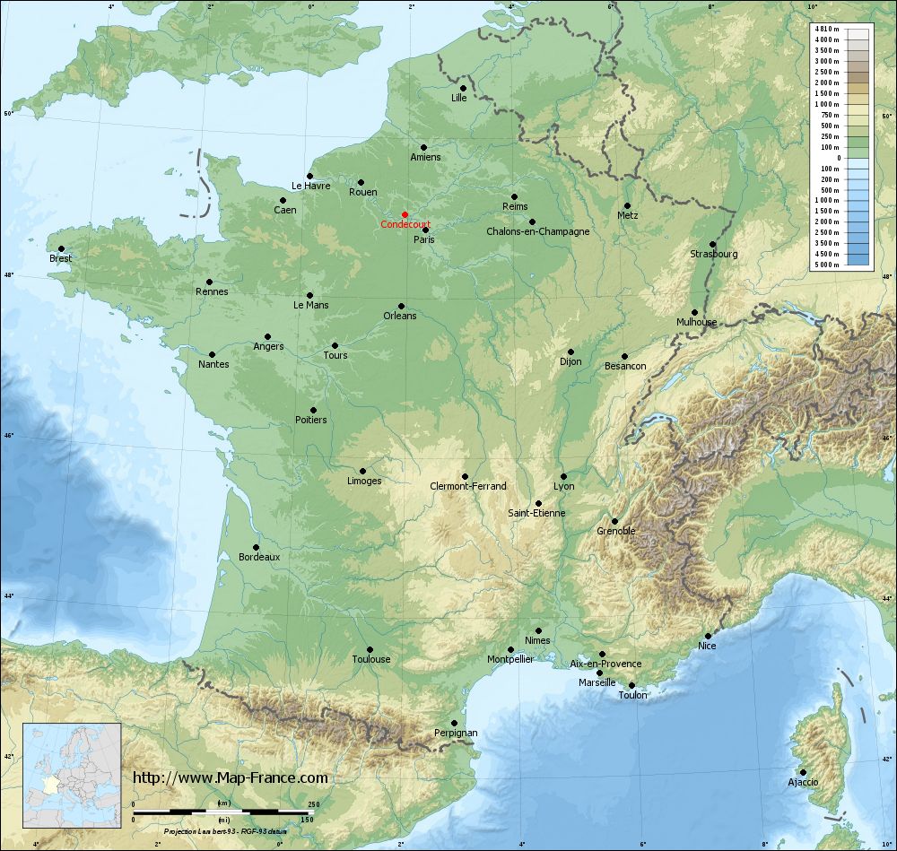
Click here for the terrain map of Condécourt in full screen:
Relief map of Condécourt
|
This relief map of Condécourt is reusable and modifiable by making a link to this page of the Map-France.com website or by using the given code :
|
Terrain base map of Condécourt
|

See the terrain base map of Condécourt in full screen (1000 x 949)
|
Small relief base map of Condécourt

|
This base map of Condécourt is reusable and modifiable by making a link to this page of the Map-France.com website or by using the given code :
|
Map of Condécourt with regions and prefectures
|
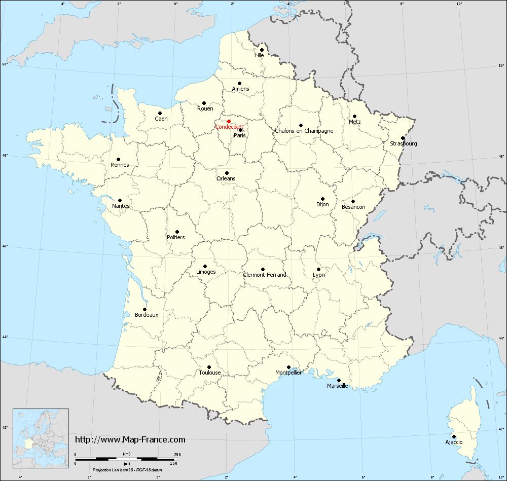
View the map of Condécourt in full screen (1000 x 949)
|
You will find the location of Condécourt on the map of France of regions in Lambert 93 coordinates. The town of Condécourt is located in the department of Val-d'Oise of the french region Île-de-France.
Geographical sexagesimal coordinates / GPS (WGS84):
Latitude: 49° 02' 34'' North
Longitude: 01° 56' 32'' East
Geographical decimal coordinates :
Latitude: 49.04 degrees (49.04° North)
Longitude: 1.943 degrees (1.943° East)
Lambert 93 coordinates :
X: 6 227 hectometers
Y: 68 830 hectometers
Lambert 2 coordinates :
X: 5 711 hectometers
Y: 24 495 hectometers
Below, the geographical coordinates of Pontoise, prefecture of the Val-d'Oise department:
Geographical sexagesimal coordinates / GPS (WGS84):
Latitude: 49° 03' 03'' North
Longitude: 02° 06' 03'' East
Geographical decimal coordinates :
Latitude: 49.052 degrees (49.052° North)
Longitude: 2.094 degrees (2.094° East)
Lambert 93 coordinates :
X: 6 343 hectometers
Y: 68 838 hectometers
Lambert 2 coordinates :
X: 5 828 hectometers
Y: 24 503 hectometers
|
This map of Condécourt is reusable and modifiable by making a link to this page of the Map-France.com website or by using the given code :
|
Map of Condécourt with departments and prefectures
|
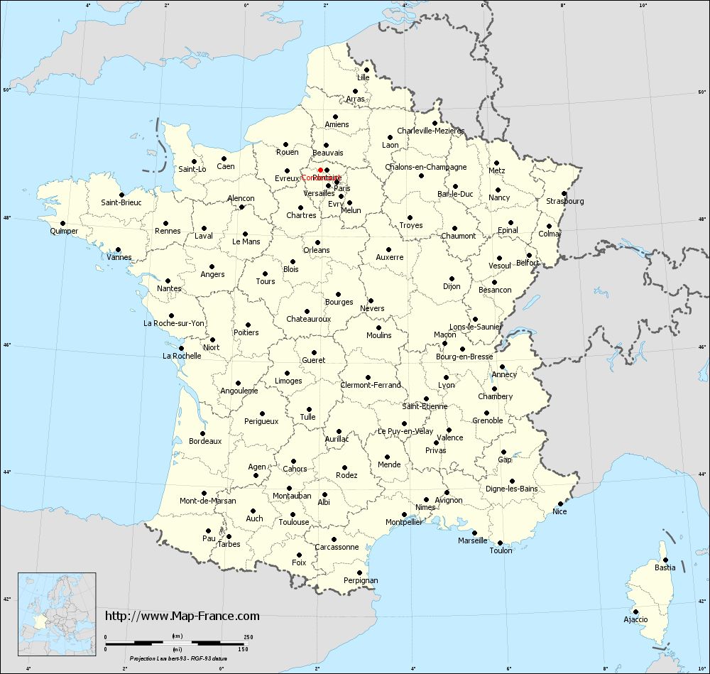
Voir la carte of Condécourt en grand format (1000 x 949)
|
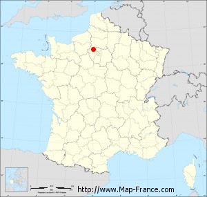
Here is the localization of Condécourt on the France map of departments in Lambert 93 coordinates. The city of Condécourt is shown on the map by a red point.
The town of Condécourt is located in the department of Val-d'Oise of the french region Île-de-France.
The latitude of Condécourt is 49.04 degrees North.
The longitude of Condécourt is 1.943 degrees East.
Here the distance between Condécourt and the biggest cities of France:
Distances are calculated as the crow flies (orthodromic distance)
Distance between Condécourt and Paris : 35.49 kilometers
Distance between Condécourt and Marseille : 691.08 kilometers
Distance between Condécourt and Lyon : 424.35 kilometers
Distance between Condécourt and Toulouse : 605.63 kilometers
Distance between Condécourt and Nice : 718.97 kilometers
Distance between Condécourt and Nantes : 328.88 kilometers
Distance between Condécourt and Strasbourg : 428.18 kilometers
Distance between Condécourt and Montpellier : 621.33 kilometers
Distance between Condécourt and Bordeaux : 503.88 kilometers
Distance between Condécourt and Lille : 193.26 kilometers
Distance between Condécourt and Rennes : 285.79 kilometers
Distance between Condécourt and Reims : 153.66 kilometers
Clic here to see the map of Condécourt in full screen:
Condécourt on the map of french departments
|
This administrative map of Condécourt is reusable and modifiable by making a link to this page of the Map-France.com website or by using the given code :
|
Administrative base maps of Condécourt
|

See the administrative base map of Condécourt in full screen (1000 x 949)
|
Small administrative base map of Condécourt
|
This base map administrative of Condécourt is reusable and modifiable by making a link to this page of the Map-France.com website or by using the given code :
|
 French Version : http://www.cartesfrance.fr