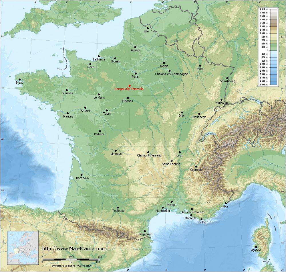
Congerville-Thionville on the relief France map in Lambert 93 coordinates
|
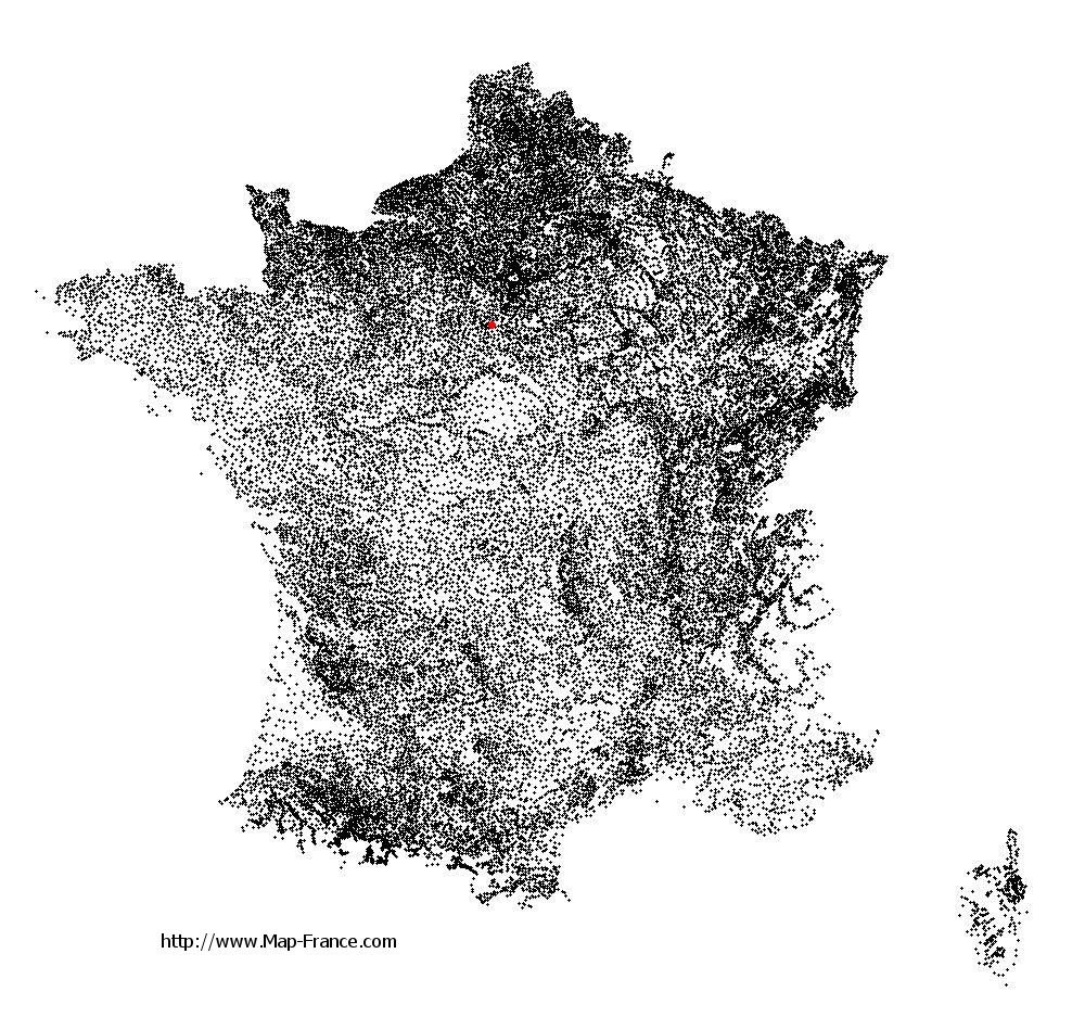
See the map of Congerville-Thionville in full screen (1000 x 949)
|
At left, here is the location of Congerville-Thionville on the relief France map in Lambert 93 coordinates.
Here are the altitudes of Congerville-Thionville :
- Town hall altitude of Congerville-Thionville is 148 meters
- Minimum altitude of Congerville-Thionville is 113 meters
- Maximum altitude of Congerville-Thionville is 151 meters
- Medium altitude of Congerville-Thionville is 132 meters
Here are the altitudes of Évry, prefecture of Essonne department:
- Town hall altitude of Évry is 75 meters
- Minimum altitude of Évry is 32 meters
- Maximum altitude of Évry is 95 meters
- Medium altitude of Évry is 64 meters
Here are the altitudes of the french biggest cities:
Paris : 33 meters
Marseille : 20 meters
Lyon : 237 meters
Toulouse : 146 meters
Nice : 10 meters
Nantes : 20 meters
Strasbourg : 144 meters
Montpellier : 35 meters
Bordeaux : 16 meters
Lille : 20 meters
Rennes : 35 meters
Reims : 83 meters
Click here for the terrain map of Congerville-Thionville in full screen:
Relief map of Congerville-Thionville
|
This relief map of Congerville-Thionville is reusable and modifiable by making a link to this page of the Map-France.com website or by using the given code :
|
Terrain base map of Congerville-Thionville
|

See the terrain base map of Congerville-Thionville in full screen (1000 x 949)
|
Small relief base map of Congerville-Thionville

|
This base map of Congerville-Thionville is reusable and modifiable by making a link to this page of the Map-France.com website or by using the given code :
|
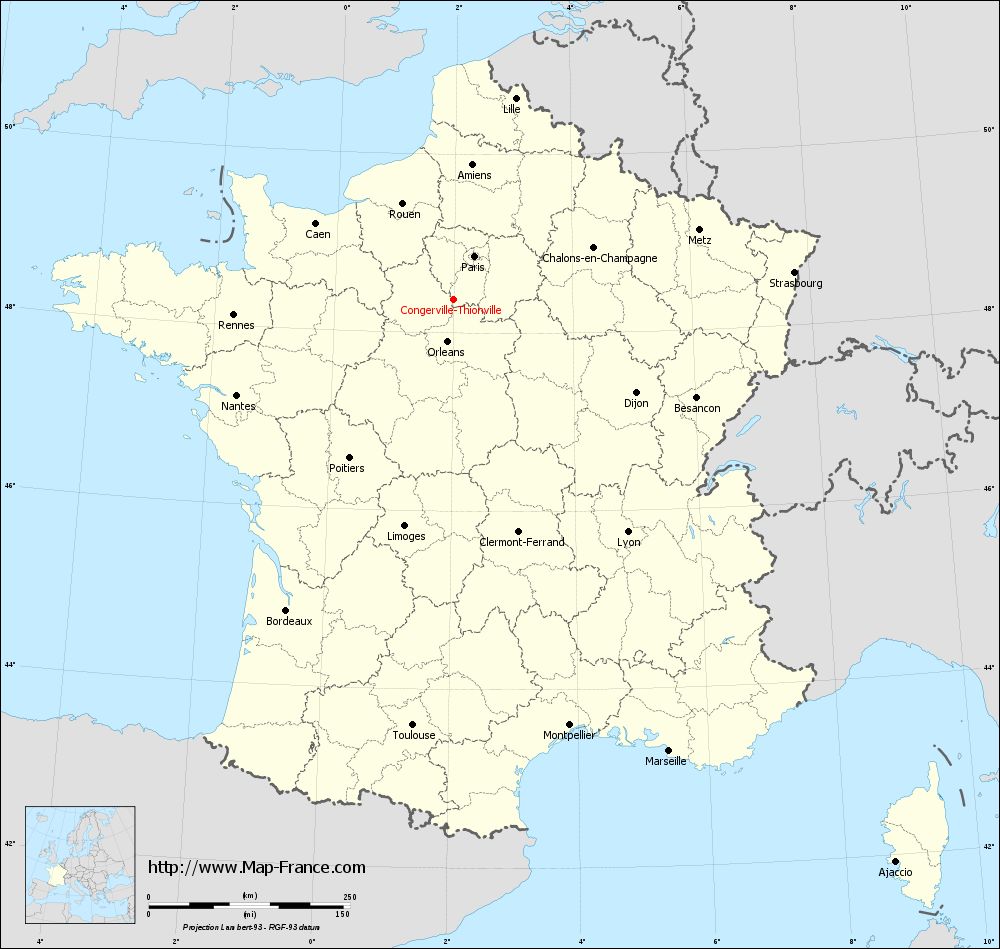
Map of Congerville-Thionville with regions and prefectures
|
View the map of Congerville-Thionville in full screen (1000 x 949)
|
You will find the location of Congerville-Thionville on the map of France of regions in Lambert 93 coordinates. The town of Congerville-Thionville is located in the department of Essonne of the french region Île-de-France.
Geographical sexagesimal coordinates / GPS (WGS84):
Latitude: 48° 22' 40'' North
Longitude: 01° 59' 40'' East
Geographical decimal coordinates :
Latitude: 48.378 degrees (48.378° North)
Longitude: 1.996 degrees (1.996° East)
Lambert 93 coordinates :
X: 6 255 hectometers
Y: 68 091 hectometers
Lambert 2 coordinates :
X: 5 747 hectometers
Y: 23 755 hectometers
Below, the geographical coordinates of Évry, prefecture of the Essonne department:
Geographical sexagesimal coordinates / GPS (WGS84):
Latitude: 48° 38' 02'' North
Longitude: 02° 26' 39'' East
Geographical decimal coordinates :
Latitude: 48.636 degrees (48.636° North)
Longitude: 2.443 degrees (2.443° East)
Lambert 93 coordinates :
X: 6 590 hectometers
Y: 68 372 hectometers
Lambert 2 coordinates :
X: 6 079 hectometers
Y: 24 039 hectometers
|
This map of Congerville-Thionville is reusable and modifiable by making a link to this page of the Map-France.com website or by using the given code :
|
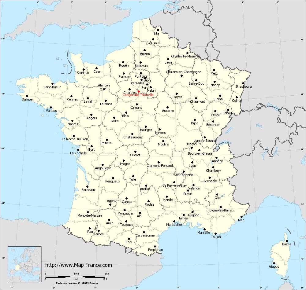
Map of Congerville-Thionville with departments and prefectures
|
Voir la carte of Congerville-Thionville en grand format (1000 x 949)
|
Here is the localization of Congerville-Thionville on the France map of departments in Lambert 93 coordinates. The city of Congerville-Thionville is shown on the map by a red point.
The town of Congerville-Thionville is located in the department of Essonne of the french region Île-de-France.
The latitude of Congerville-Thionville is 48.378 degrees North.
The longitude of Congerville-Thionville is 1.996 degrees East.
Here the distance between Congerville-Thionville and the biggest cities of France:
Distances are calculated as the crow flies (orthodromic distance)
Distance between Congerville-Thionville and Paris : 59.44 kilometers
Distance between Congerville-Thionville and Marseille : 622.81 kilometers
Distance between Congerville-Thionville and Lyon : 361.61 kilometers
Distance between Congerville-Thionville and Toulouse : 532.57 kilometers
Distance between Congerville-Thionville and Nice : 658.78 kilometers
Distance between Congerville-Thionville and Nantes : 294.54 kilometers
Distance between Congerville-Thionville and Strasbourg : 424.73 kilometers
Distance between Congerville-Thionville and Montpellier : 549.35 kilometers
Distance between Congerville-Thionville and Bordeaux : 439.01 kilometers
Distance between Congerville-Thionville and Lille : 261.15 kilometers
Distance between Congerville-Thionville and Rennes : 273.64 kilometers
Distance between Congerville-Thionville and Reims : 178.12 kilometers
Clic here to see the map of Congerville-Thionville in full screen:
Congerville-Thionville on the map of french departments
|
This administrative map of Congerville-Thionville is reusable and modifiable by making a link to this page of the Map-France.com website or by using the given code :
|
Administrative base maps of Congerville-Thionville
|

See the administrative base map of Congerville-Thionville in full screen (1000 x 949)
|
Small administrative base map of Congerville-Thionville
|
This base map administrative of Congerville-Thionville is reusable and modifiable by making a link to this page of the Map-France.com website or by using the given code :
|
 French Version : http://www.cartesfrance.fr