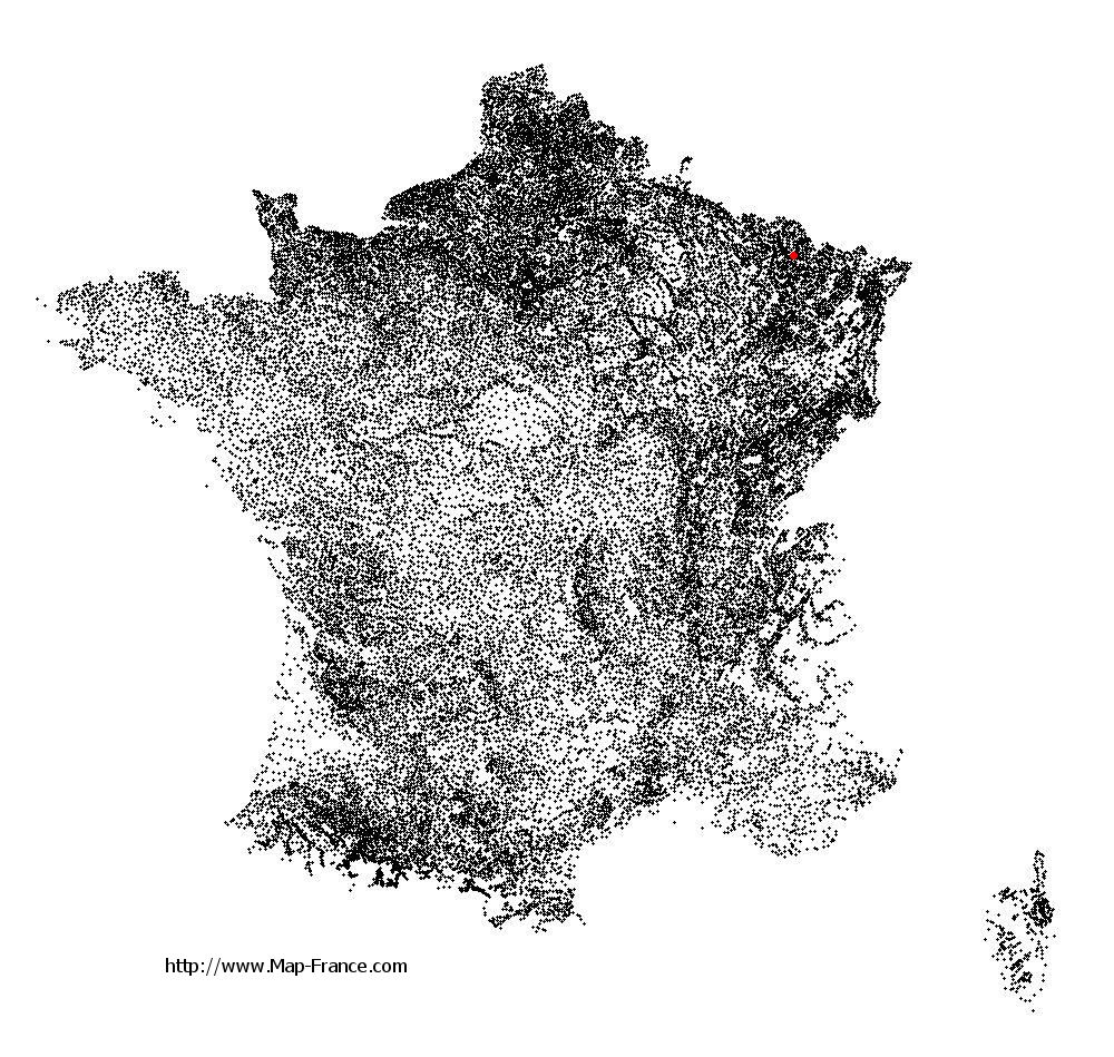
Courcelles-Chaussy on the relief France map in Lambert 93 coordinates
|

See the map of Courcelles-Chaussy in full screen (1000 x 949)
|
At left, here is the location of Courcelles-Chaussy on the relief France map in Lambert 93 coordinates.
Here are the altitudes of Courcelles-Chaussy :
- Town hall altitude of Courcelles-Chaussy is 240 meters
- Minimum altitude of Courcelles-Chaussy is 207 meters
- Maximum altitude of Courcelles-Chaussy is 307 meters
- Medium altitude of Courcelles-Chaussy is 257 meters
Here are the altitudes of Metz, prefecture of Moselle department:
- Town hall altitude of Metz is 182 meters
- Minimum altitude of Metz is 162 meters
- Maximum altitude of Metz is 256 meters
- Medium altitude of Metz is 209 meters
Here are the altitudes of the french biggest cities:
Paris : 33 meters
Marseille : 20 meters
Lyon : 237 meters
Toulouse : 146 meters
Nice : 10 meters
Nantes : 20 meters
Strasbourg : 144 meters
Montpellier : 35 meters
Bordeaux : 16 meters
Lille : 20 meters
Rennes : 35 meters
Reims : 83 meters
Click here for the terrain map of Courcelles-Chaussy in full screen:
Relief map of Courcelles-Chaussy
|
This relief map of Courcelles-Chaussy is reusable and modifiable by making a link to this page of the Map-France.com website or by using the given code :
|
Terrain base map of Courcelles-Chaussy
|

See the terrain base map of Courcelles-Chaussy in full screen (1000 x 949)
|
Small relief base map of Courcelles-Chaussy

|
This base map of Courcelles-Chaussy is reusable and modifiable by making a link to this page of the Map-France.com website or by using the given code :
|
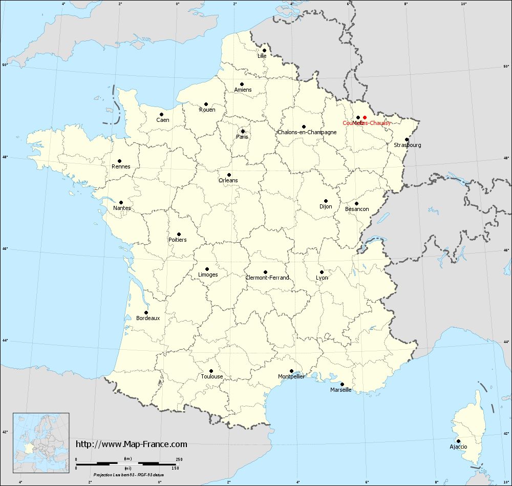
Map of Courcelles-Chaussy with regions and prefectures
|
View the map of Courcelles-Chaussy in full screen (1000 x 949)
|
You will find the location of Courcelles-Chaussy on the map of France of regions in Lambert 93 coordinates. The city of Courcelles-Chaussy is located in the department of Moselle of the french region Lorraine.
Geographical sexagesimal coordinates / GPS (WGS84):
Latitude: 49° 06' 33'' North
Longitude: 06° 24' 18'' East
Geographical decimal coordinates :
Latitude: 49.109 degrees (49.109° North)
Longitude: 6.406 degrees (6.406° East)
Lambert 93 coordinates :
X: 9 486 hectometers
Y: 68 953 hectometers
Lambert 2 coordinates :
X: 8 971 hectometers
Y: 24 645 hectometers
Below, the geographical coordinates of Metz, prefecture of the Moselle department:
Geographical sexagesimal coordinates / GPS (WGS84):
Latitude: 49° 07' 11'' North
Longitude: 06° 10' 37'' East
Geographical decimal coordinates :
Latitude: 49.109 degrees (49.109° North)
Longitude: 6.183 degrees (6.183° East)
Lambert 93 coordinates :
X: 9 319 hectometers
Y: 68 958 hectometers
Lambert 2 coordinates :
X: 8 804 hectometers
Y: 24 648 hectometers
|
This map of Courcelles-Chaussy is reusable and modifiable by making a link to this page of the Map-France.com website or by using the given code :
|
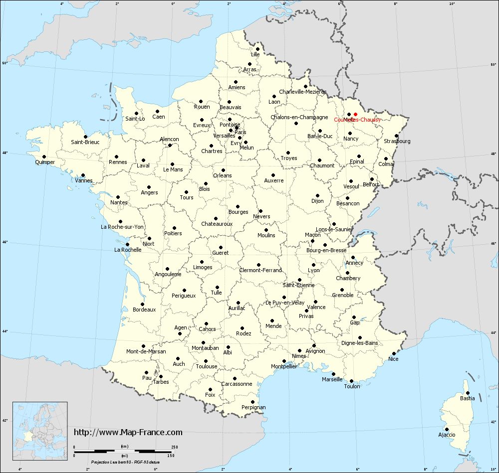
Map of Courcelles-Chaussy with departments and prefectures
|
Voir la carte of Courcelles-Chaussy en grand format (1000 x 949)
|
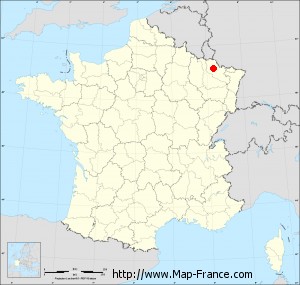
Here is the localization of Courcelles-Chaussy on the France map of departments in Lambert 93 coordinates. The city of Courcelles-Chaussy is shown on the map by a red point.
The city of Courcelles-Chaussy is located in the department of Moselle of the french region Lorraine.
The latitude of Courcelles-Chaussy is 49.109 degrees North.
The longitude of Courcelles-Chaussy is 6.406 degrees East.
Here the distance between Courcelles-Chaussy and the biggest cities of France:
Distances are calculated as the crow flies (orthodromic distance)
Distance between Courcelles-Chaussy and Paris : 297.26 kilometers
Distance between Courcelles-Chaussy and Marseille : 650.35 kilometers
Distance between Courcelles-Chaussy and Lyon : 390.42 kilometers
Distance between Courcelles-Chaussy and Toulouse : 720.13 kilometers
Distance between Courcelles-Chaussy and Nice : 603.91 kilometers
Distance between Courcelles-Chaussy and Nantes : 625.76 kilometers
Distance between Courcelles-Chaussy and Strasbourg : 114.67 kilometers
Distance between Courcelles-Chaussy and Montpellier : 641.13 kilometers
Distance between Courcelles-Chaussy and Bordeaux : 709.91 kilometers
Distance between Courcelles-Chaussy and Lille : 293.88 kilometers
Distance between Courcelles-Chaussy and Rennes : 604.04 kilometers
Distance between Courcelles-Chaussy and Reims : 173.2 kilometers
Clic here to see the map of Courcelles-Chaussy in full screen:
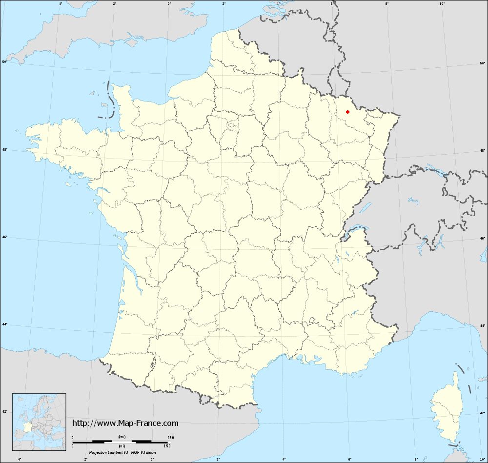
Courcelles-Chaussy on the map of french departments
|
This administrative map of Courcelles-Chaussy is reusable and modifiable by making a link to this page of the Map-France.com website or by using the given code :
|
Administrative base maps of Courcelles-Chaussy
|
See the administrative base map of Courcelles-Chaussy in full screen (1000 x 949)
|
Small administrative base map of Courcelles-Chaussy
|
This base map administrative of Courcelles-Chaussy is reusable and modifiable by making a link to this page of the Map-France.com website or by using the given code :
|
 French Version : http://www.cartesfrance.fr