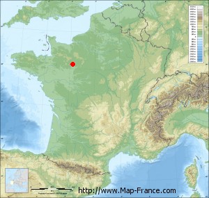
Dangeul on the relief France map in Lambert 93 coordinates
|

See the map of Dangeul in full screen (1000 x 949)
|
At left, here is the location of Dangeul on the relief France map in Lambert 93 coordinates.
Here are the altitudes of Dangeul :
- Town hall altitude of Dangeul is 90 meters
- Minimum altitude of Dangeul is 62 meters
- Maximum altitude of Dangeul is 104 meters
- Medium altitude of Dangeul is 83 meters
Here are the altitudes of Le Mans, prefecture of Sarthe department:
- Town hall altitude of Le Mans is 50 meters
- Minimum altitude of Le Mans is 38 meters
- Maximum altitude of Le Mans is 134 meters
- Medium altitude of Le Mans is 86 meters
Here are the altitudes of the french biggest cities:
Paris : 33 meters
Marseille : 20 meters
Lyon : 237 meters
Toulouse : 146 meters
Nice : 10 meters
Nantes : 20 meters
Strasbourg : 144 meters
Montpellier : 35 meters
Bordeaux : 16 meters
Lille : 20 meters
Rennes : 35 meters
Reims : 83 meters
Click here for the terrain map of Dangeul in full screen:
Relief map of Dangeul
|
This relief map of Dangeul is reusable and modifiable by making a link to this page of the Map-France.com website or by using the given code :
|
Terrain base map of Dangeul
|

See the terrain base map of Dangeul in full screen (1000 x 949)
|
Small relief base map of Dangeul
|
This base map of Dangeul is reusable and modifiable by making a link to this page of the Map-France.com website or by using the given code :
|
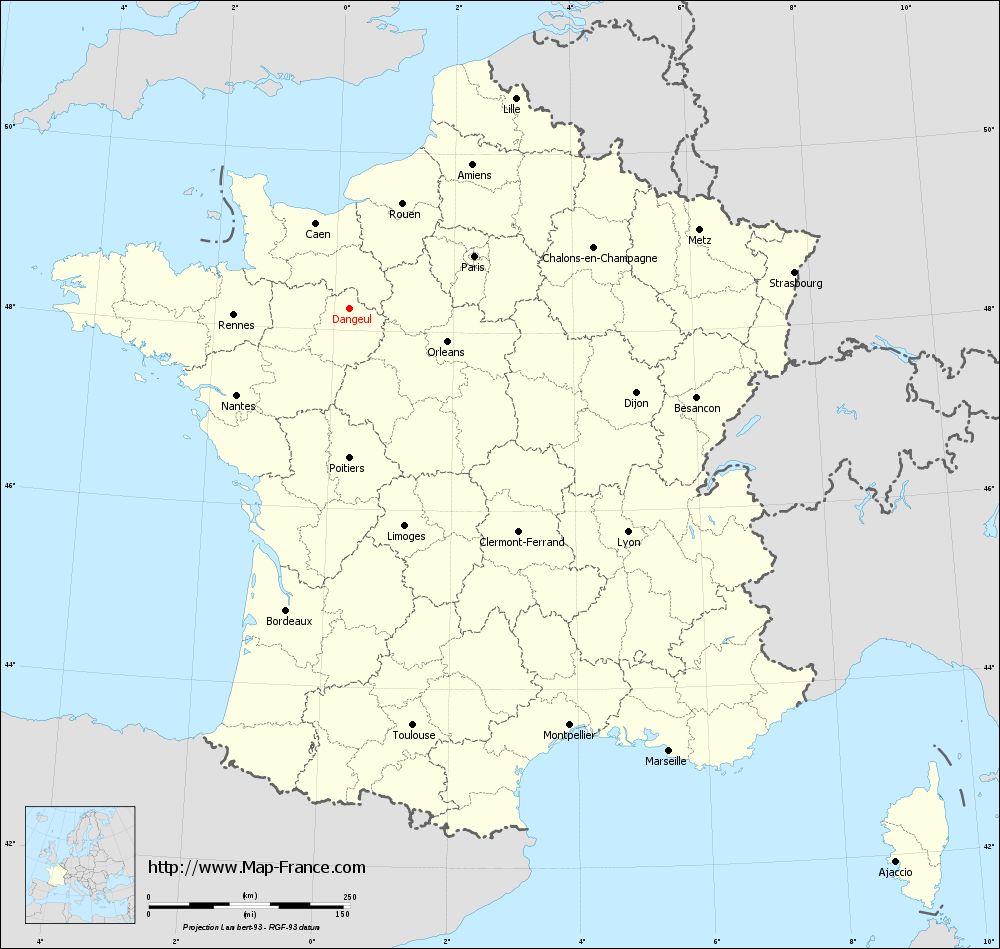
Map of Dangeul with regions and prefectures
|
View the map of Dangeul in full screen (1000 x 949)
|
You will find the location of Dangeul on the map of France of regions in Lambert 93 coordinates. The town of Dangeul is located in the department of Sarthe of the french region Pays de la Loire.
Geographical sexagesimal coordinates / GPS (WGS84):
Latitude: 48° 14' 54'' North
Longitude: 00° 15' 25'' East
Geographical decimal coordinates :
Latitude: 48.248 degrees (48.248° North)
Longitude: 0.259 degrees (0.259° East)
Lambert 93 coordinates :
X: 4 964 hectometers
Y: 67 978 hectometers
Lambert 2 coordinates :
X: 4 455 hectometers
Y: 23 631 hectometers
Below, the geographical coordinates of Le Mans, prefecture of the Sarthe department:
Geographical sexagesimal coordinates / GPS (WGS84):
Latitude: 48° 00' 15'' North
Longitude: 00° 11' 49'' East
Geographical decimal coordinates :
Latitude: 47.996 degrees (47.996° North)
Longitude: 0.203 degrees (0.203° East)
Lambert 93 coordinates :
X: 4 910 hectometers
Y: 67 708 hectometers
Lambert 2 coordinates :
X: 4 403 hectometers
Y: 23 360 hectometers
|
This map of Dangeul is reusable and modifiable by making a link to this page of the Map-France.com website or by using the given code :
|
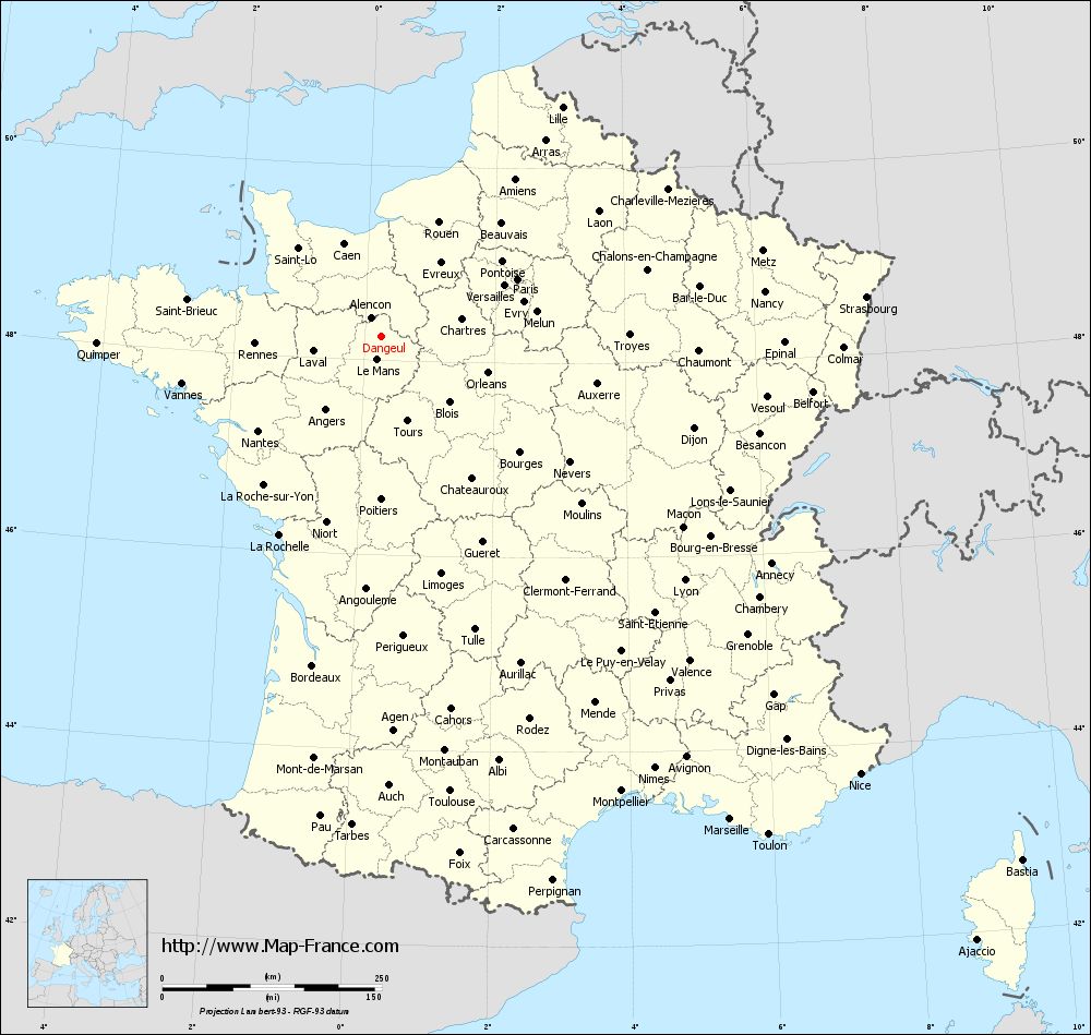
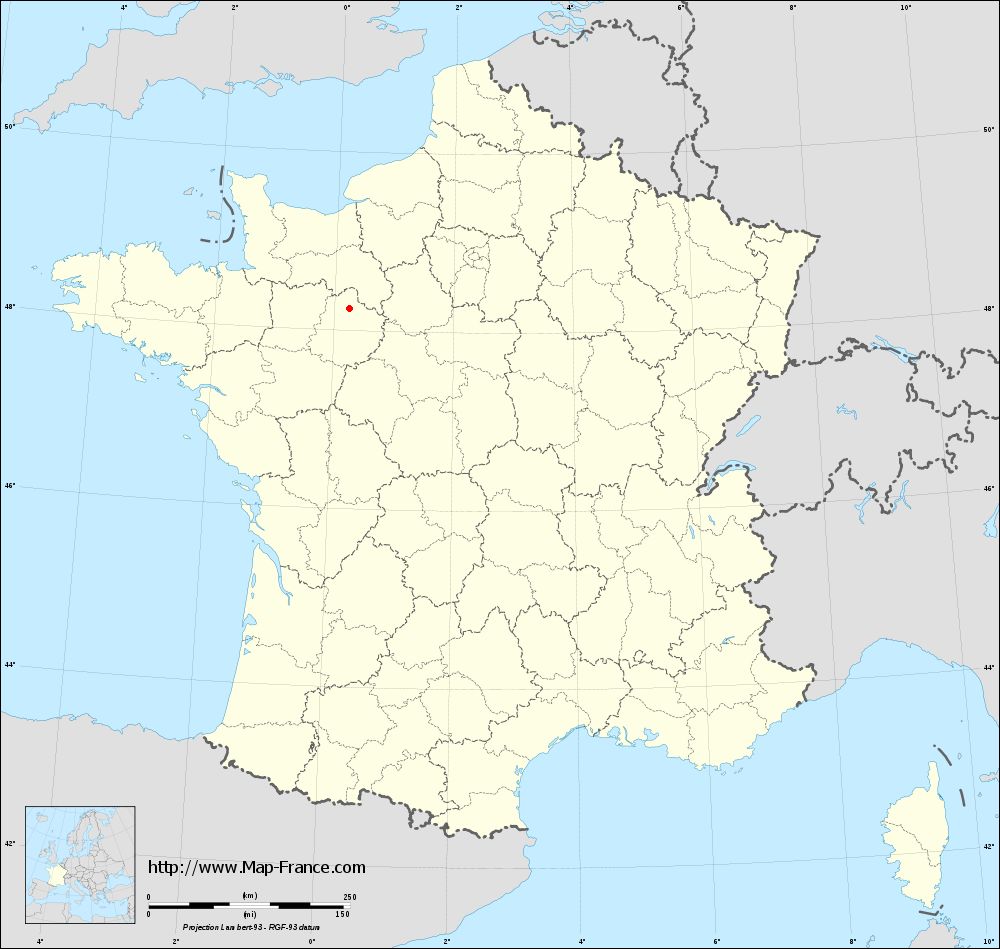
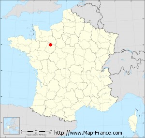
Map of Dangeul with departments and prefectures
|
Voir la carte of Dangeul en grand format (1000 x 949)
|
Here is the localization of Dangeul on the France map of departments in Lambert 93 coordinates. The city of Dangeul is shown on the map by a red point.
The town of Dangeul is located in the department of Sarthe of the french region Pays de la Loire.
The latitude of Dangeul is 48.248 degrees North.
The longitude of Dangeul is 0.259 degrees East.
Here the distance between Dangeul and the biggest cities of France:
Distances are calculated as the crow flies (orthodromic distance)
Distance between Dangeul and Paris : 167.86 kilometers
Distance between Dangeul and Marseille : 678.77 kilometers
Distance between Dangeul and Lyon : 443.26 kilometers
Distance between Dangeul and Toulouse : 524.52 kilometers
Distance between Dangeul and Nice : 739.03 kilometers
Distance between Dangeul and Nantes : 177.25 kilometers
Distance between Dangeul and Strasbourg : 553.85 kilometers
Distance between Dangeul and Montpellier : 586.08 kilometers
Distance between Dangeul and Bordeaux : 383.62 kilometers
Distance between Dangeul and Lille : 332.27 kilometers
Distance between Dangeul and Rennes : 144.54 kilometers
Distance between Dangeul and Reims : 298.19 kilometers
Clic here to see the map of Dangeul in full screen:
Dangeul on the map of french departments
|
This administrative map of Dangeul is reusable and modifiable by making a link to this page of the Map-France.com website or by using the given code :
|
Administrative base maps of Dangeul
|
See the administrative base map of Dangeul in full screen (1000 x 949)
|
Small administrative base map of Dangeul
|
This base map administrative of Dangeul is reusable and modifiable by making a link to this page of the Map-France.com website or by using the given code :
|
 French Version : http://www.cartesfrance.fr