|
The village of Denier is a small village located north of France. The town of Denier is located in the department of Pas-de-Calais of the french region Nord-Pas-de-Calais. The town of Denier is located in the township of Avesnes-le-Comte part of the district of Arras. The area code for Denier is 62266 (also known as code INSEE), and the Denier zip code is 62810.
Geography and map of Denier :
The altitude of the city hall of Denier is approximately 120 meters. The Denier surface is 3.10 km ². The latitude and longitude of Denier are 50.29 degrees North and 2.442 degrees East.
Nearby cities and towns of Denier are :
Sars-le-Bois (62810) at 1.20 km, Berlencourt-le-Cauroy (62810) at 1.46 km, Liencourt (62810) at 2.09 km, Lignereuil (62810) at 2.24 km, Magnicourt-sur-Canche (62270) at 2.70 km, Ambrines (62127) at 2.83 km, Maizières (62127) at 3.67 km, Givenchy-le-Noble (62810) at 4.04 km.
(The distances to these nearby towns of Denier are calculated as the crow flies)
Population and housing of Denier :
The population of Denier was 58 in 1999, 46 in 2006 and 44 in 2007. The population density of Denier is 14.19 inhabitants per km². The number of housing of Denier was 26 in 2007. These homes of Denier consist of 21 main residences, 2 second or occasional homes and 3 vacant homes. |
|
|
Hotel Denier
|
|
|
Book now ! Best Price Guaranteed, no booking fees, pay at the hotel with our partner Booking.com, leader in online hotel reservation.
Find all hotels of Denier : Hotel Denier
| |
|
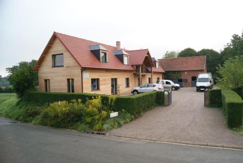
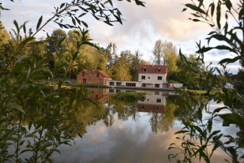
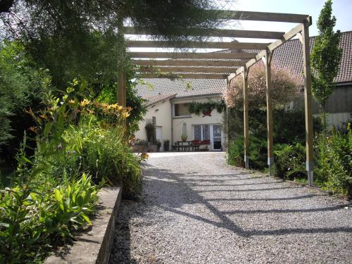
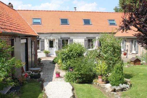
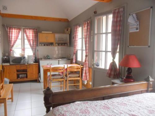
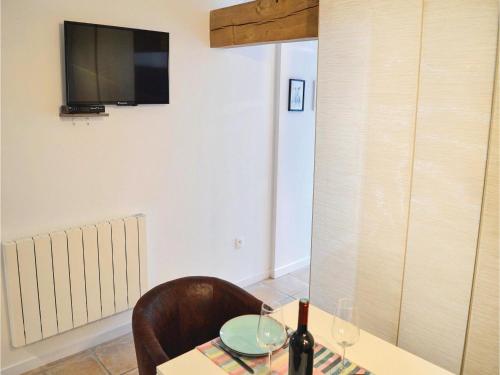
Bed and Breakfast : La cabane de Denier

Featuring accommodation with a terrace, La cabane de Denier is located in Denier. Guests staying at this bed and breakfast have access to a fully equipped kitchenette. The bed ...
Rate : from 85.50 €
to 103.50 €
Address : 238 Rue d'Ambrines 62810 Denier
Distance Bed and Breakfast - Denier : 0.29 km
|
|
|
Guest accommodation : Three-Bedroom Holiday Home in Gouy en Ternois

Set in Gouy-en-Ternois in the Nord-Pas-de-Calais region, Three-Bedroom Holiday Home in Gouy en Ternois is a 3-star property featuring free WiFi. Guests staying at this holiday h...
Contact : 62127 Gouy-en-Ternois
Distance Guest accommodation - Denier : 3.69 km
|
|
|
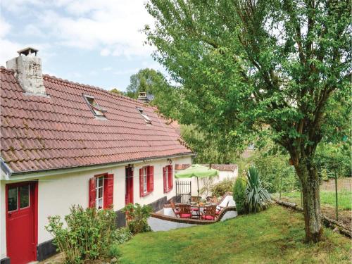
Bed and Breakfast : La Cascade
With a garden and a terrace, La Cascade is set in Estrée-Wamin and provides free WiFi. Some units also have a kitchenette equipped with an oven. The bed and breakfast offers a...
Prices : from 72.00 €
to 104.00 €
Contact : 8 Rue du Moulin 62810 Estrée-Wamin
Distance Bed and Breakfast - Denier : 3.91 km
|
|
|
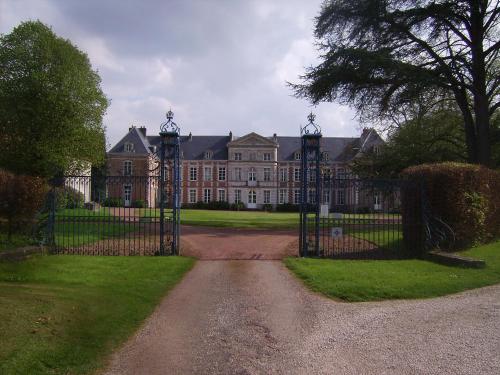
Bed and Breakfast : Chambres d'hôtes du Château de Grand Rullecourt
Located in Grand Rullecourt, Château de Grand Rullecourt is 5 km from Avesnes-le-Comte. It offers soundproofed rooms, a garden and a terrace. Free Wi-Fi access is provided in pu...
Contact : 3 Place du Château 62810 Grand Rullecourt
Distance Bed and Breakfast - Denier : 4.89 km
|
|
|
Bed and Breakfast : Bed and Breakfast La Solette
Situated in Hauteville, 15 km from Arras, Bed and Breakfast La Solette provides a garden and free WiFi. Rooms are equipped with a terrace with a garden view. All rooms are fitt...
Price : from 81.00 €
to 120.00 €
Address : 10, Rue Du Moulin 62810 Hauteville
Distance Bed and Breakfast - Denier : 9.72 km
|
|
|
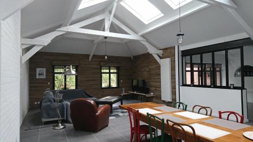
Guest accommodation : les aubépines
Les aubépines offers rooms in Hermaville. Among the various facilities are free bikes and a garden. Free WiFi is available. The rooms come with a microwave, toaster, a coffee m...
Contact : 1 rue de tilloy 62690 Hermaville
Distance Guest accommodation - Denier : 10.52 km
|
|
|
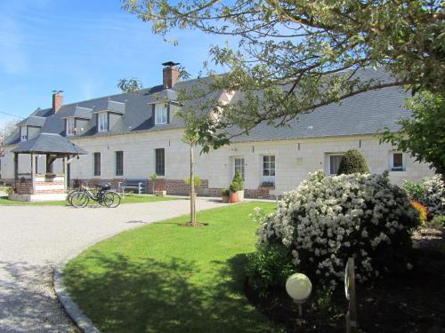
Bed and Breakfast : Domaine de la Pommeraie
Set in a 1.4-hectare park, this property is located in Nuncq-Hautecôte. Guests can relax in the seasonal, indoor swimming pool or in the flowered garden. Free Wi-Fi is provided ...
Rate : from 60.00 €
to 80.00 €
Contact : 1 Rue de Sericourt 62270 Nuncq
Distance Bed and Breakfast - Denier : 10.68 km
|
|
|
Bed and Breakfast : L'Aubaine
Located 12 km from Arras and 36 km from Douai, L'Aubaine offers B&B accommodation, a garden, a terrace, and Wi-Fi is free of charge throughout the property. With a view of the ...
Price : from 80.00 €
Contact : 25 Rue Verte 62123 Wanquetin
Distance Bed and Breakfast - Denier : 12.36 km
|
|
|
Guest accommodation : Gites - chambres d’hôte - roulottes - du Ternois
Set in Saint-Pol-sur-Ternoise, 34 km from Arras, Gites - chambres d’hôte - roulottes - du Ternois features independent accommodation and rooms with a barbecue and views of the g...
Prices : from 49.00 €
to 99.00 €
Address : 38 bis rue d'aire 62130 Saint-Pol-sur-Ternoise
Distance Guest accommodation - Denier : 13.07 km
|
|
|
Guest accommodation : One-Bedroom Holiday Home in Ligny-sur-Canche
One-Bedroom Holiday Home in Ligny-sur-Canche is located in Ligny-sur-Canche. Guests staying at this holiday home have access to free WiFi. The holiday home features 1 bedroom a...
Contact : 62270 Ligny-sur-Canche
Distance Guest accommodation - Denier : 13.08 km
|
|
Find another hotel near Denier : Denier hotels list
|
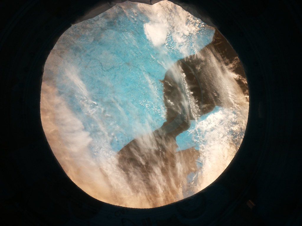
Map of Denier
|
|
Map of Denier :
At right you can find the localization of Denier on the map of France. Below, this is the satellite map of Denier. A road map, and maps templates of Denier are available here : "road map of Denier". This map show Denier seen by the satellite of Google Map. To see the streets of Denier or move on another zone, use the buttons "zoom" and "map" on top of this dynamic map.
Search on the map of Denier :
To search hotels, housings, tourist information office, administrations or other services, use the Google search integrated to the map on the following page : "map Denier".
Hotels of Denier are listed on the map with the following icons: 
The map of Denier is centred in the following coordinates :
|

|
|
|
|
Print the map of Denier

Print the map of Denier : map of Denier
|
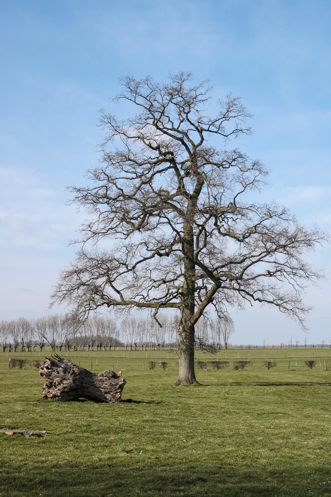
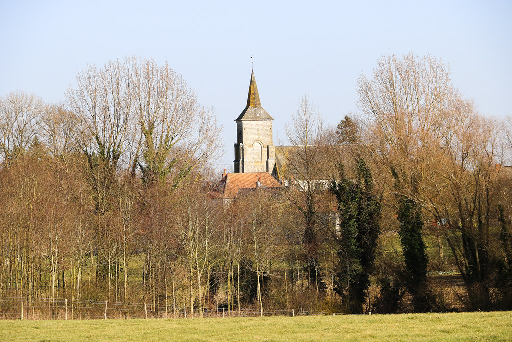
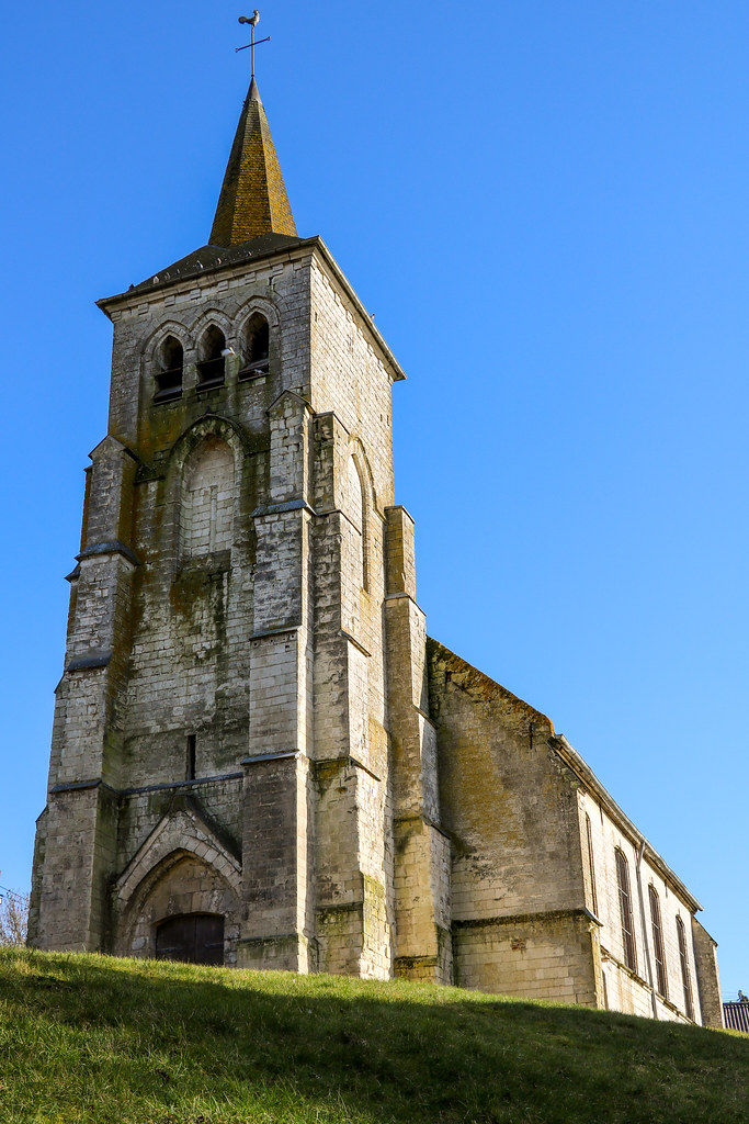
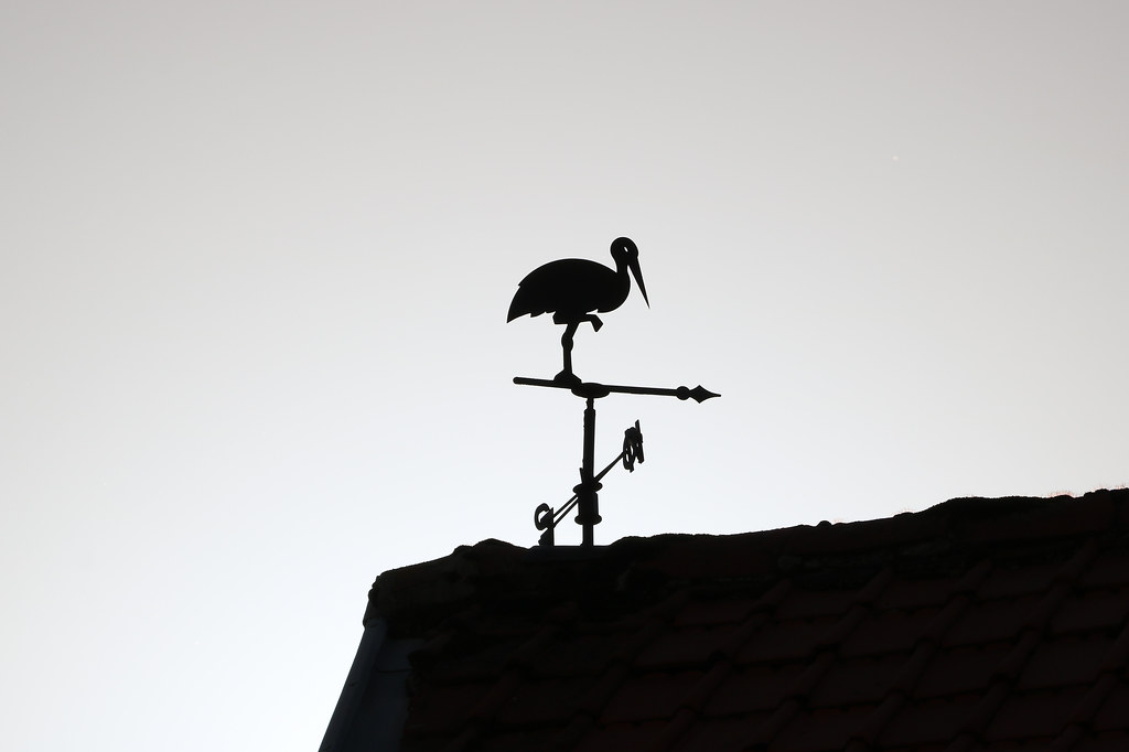
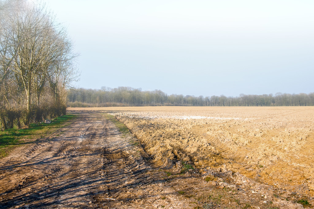
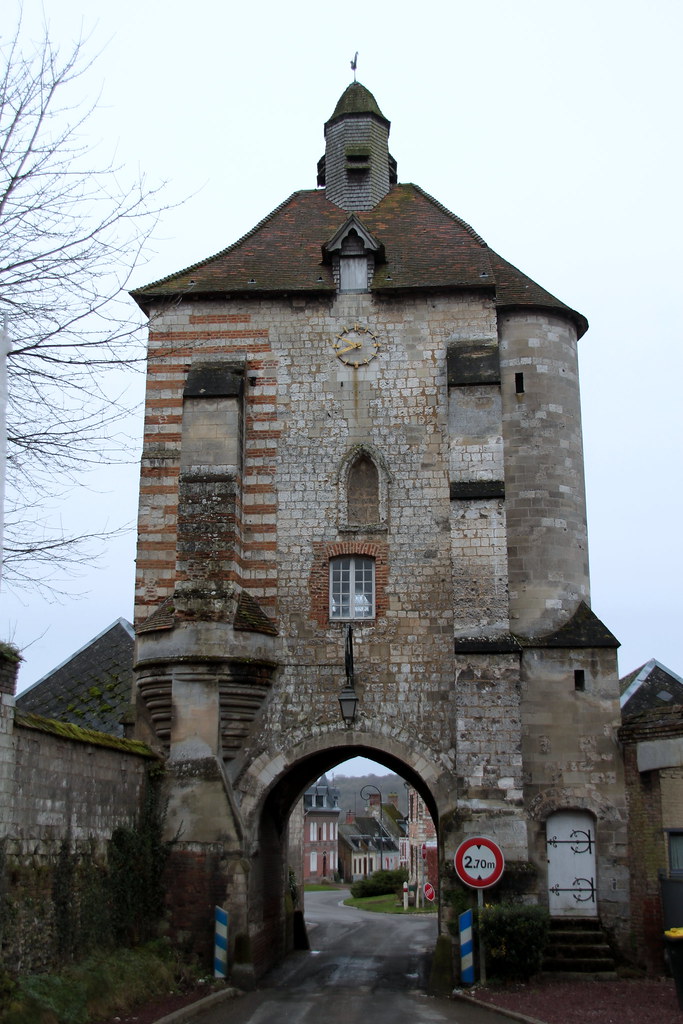
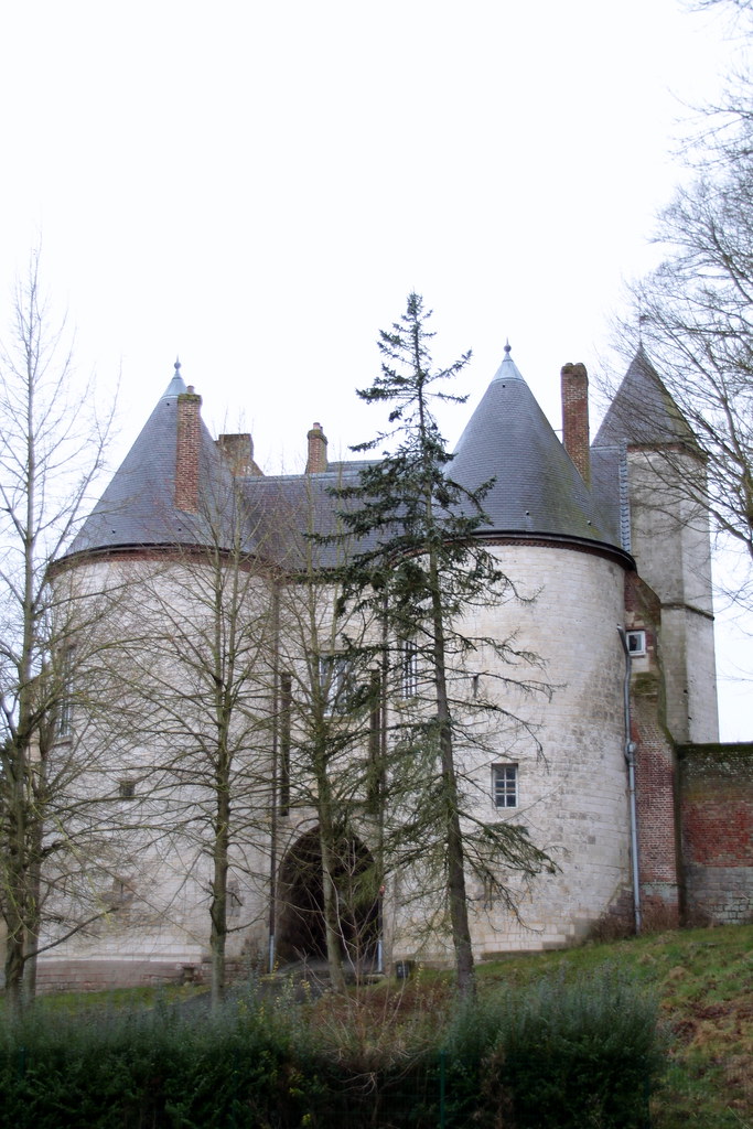
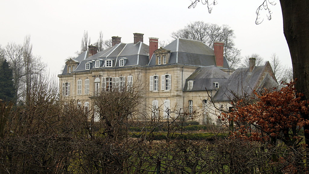
Photos Denier
|
See all photos of Denier :
Other photos of Denier and nearby towns can be found here: photos Denier
|
|
Denier weather forecast
Find next hours and 7 days weather forecast for Denier here : weather Denier (with english metrics)
This is the last weather forecast for Denier collected by the nearest observation station of Avesnes-le-Comte.
Week Forecast:
The latest weather data for Denier were collected Wednesday, 01 July 2026 at 19:04 from the nearest observation station of Avesnes-le-Comte.
| Wednesday, July 1st |
23°C 12°C
25%
56%
|
Partly cloudy
Temperature Max: 23°C Temperature Min: 12°C
Precipitation Probability: 25% (Rain)
Percentage of sky occluded by clouds: 56%
Wind speed: 15 km/h East
Humidity: 66%° UV Index: 5
Sunrise: 05:43 Sunset: 22:03 |
|
| | Thursday, July 2nd |
23°C 15°C
27%
77%
|
Mostly cloudy
Temperature Max: 23°C Temperature Min: 15°C
Precipitation Probability: 27% (Rain)
Percentage of sky occluded by clouds: 77%
Wind speed: 23 km/h East
Humidity: 75%° UV Index: 4
Sunrise: 05:44 Sunset: 22:03 |
|
| | Friday, July 3rd |
24°C 12°C
0%
56%
|
Partly cloudy
Temperature Max: 24°C Temperature Min: 12°C
Precipitation Probability: 0%
Percentage of sky occluded by clouds: 56%
Wind speed: 10 km/h South-East
Humidity: 57%° UV Index: 7
Sunrise: 05:45 Sunset: 22:03 |
|
| | Saturday, July 4th |
25°C 13°C
25%
6%
|
Clear
Temperature Max: 25°C Temperature Min: 13°C
Precipitation Probability: 25%
Percentage of sky occluded by clouds: 6%
Wind speed: 19 km/h East
Humidity: 54%° UV Index: 7
Sunrise: 05:45 Sunset: 22:02 |
|
|
Attribution: 
|
|
Other maps, hotels and towns in france
Find another town, zip code, department, region, ...
Quick links Denier :
Make a link to this page of Denier with the following code :
|
|
|
 French Version : http://www.cartesfrance.fr/carte-france-ville/62266_Denier.html