Map of France

Dessenheim photos


Find a town, a zip code,
a department, a region... in France
I like Map-France.com !


Dessenheim pictures


Here are the photos of the town of Dessenheim and nearby towns. Dessenheim is located in the department of Haut-Rhin in the region of Alsace. You will find the satellite map of Dessenheim under these photos.

To see photos of nearby towns of Dessenheim, you can try the following links :
   - Pictures of Weckolsheim (68600) : town located at 3.56 km
   - Pictures of Heiteren (68600) : town located at 3.90 km
   - Pictures of Hettenschlag (68600) : town located at 4.09 km
   - Pictures of Rustenhart (68740) : town located at 4.30 km
   - Pictures of Obersaasheim (68600) : town located at 5.24 km
   - Pictures of Neuf-Brisach (68600) : town located at 5.61 km
   - Pictures of Wolfgantzen (68600) : town located at 5.92 km
   - Pictures of Algolsheim (68600) : town located at 6.26 km
   - Pictures of Balgau (68740) : town located at 6.38 km
   - Pictures of Volgelsheim (68600) : town located at 6.64 km
   - Pictures of Appenwihr (68280) : town located at 6.78 km
   - Pictures of Niederhergheim (68127) : town located at 6.82 km

 - photos of the department prefecture of Haut-Rhin : photos of Colmar
 - pictures of others cities of Haut-Rhin : Haut-Rhin


To see Dessenheim from the sky, here is the satellite map of the town of Dessenheim : Dessenheim map.

I like Dessenheim !


Photos of the town of Dessenheim

These photos taken near the town of Dessenheim can be shown in full screen clicking on the thumbnails. Photos are copyrighted by their owners.

Cycling the Rhine Day 4 - July 7 - Photo of Dessenheim
Cycling the Rhine Day 4 - July 7

Cycling the Rhine Day 4 - July 7 - Photo of Dessenheim
Cycling the Rhine Day 4 - July 7

Klederdrachten en symbolen uit de Elzas - Photo of Dessenheim
Klederdrachten en symbolen uit de Elzas

Ondergaande zon boven Geiswasser - Photo of Dessenheim
Ondergaande zon boven Geiswasser

Gekanaliseerde Rijn op de Frans-Duitse grens - Photo of Dessenheim
Gekanaliseerde Rijn op de Frans-Duitse grens

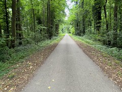
Cycle paths through the woods - approaching Colmar - Photo of Dessenheim
Cycle paths through the woods - approaching Colmar

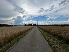
Big threatening skies, Sundhoffen - Photo of Dessenheim
Big threatening skies, Sundhoffen

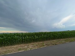
Maize fields - Photo of Dessenheim
Maize fields

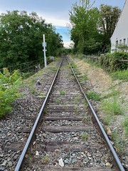
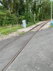
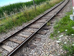
The Volgelsheim - Colmar line, section used by freight - Photo of Dessenheim
The Volgelsheim - Colmar line, section used by freight

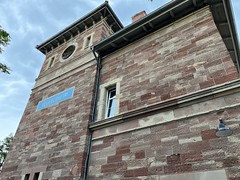
Volgelsheim Gare - Photo of Dessenheim
Volgelsheim Gare

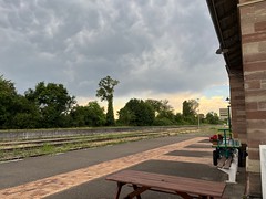
Volgelsheim Gare - Photo of Dessenheim
Volgelsheim Gare

Gare Volgelsheim - Photo of Dessenheim
Gare Volgelsheim

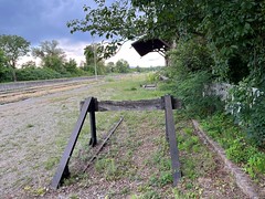
Industrial tracks at Volgelsheim - Photo of Dessenheim
Industrial tracks at Volgelsheim

Industrial tracks at Volgelsheim - Photo of Dessenheim
Industrial tracks at Volgelsheim


Dessenheim from the sky


Old photos of the town of Dessenheim

These photos taken near the town of Dessenheim can be shown in full screen clicking on the thumbnails. Photos are copyrighted by their owners.


Other maps, hotels and towns in france


Find another town, zip code, department, region, ...


Quick links Dessenheim :


Back to the menus Map of France :


Make a link to this page of Dessenheim with the following code :


Map of France | Regions | Departments | Cities | Partners | Terms | Contact