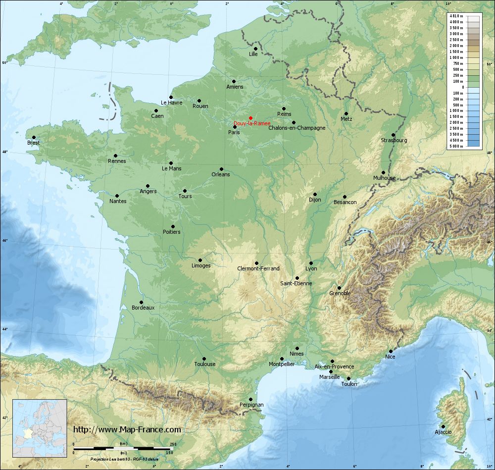
Douy-la-Ramée on the relief France map in Lambert 93 coordinates
|
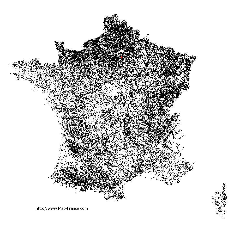
See the map of Douy-la-Ramée in full screen (1000 x 949)
|
At left, here is the location of Douy-la-Ramée on the relief France map in Lambert 93 coordinates.
Here are the altitudes of Douy-la-Ramée :
- Town hall altitude of Douy-la-Ramée is 115 meters
- Minimum altitude of Douy-la-Ramée is 73 meters
- Maximum altitude of Douy-la-Ramée is 127 meters
- Medium altitude of Douy-la-Ramée is 100 meters
Here are the altitudes of Melun, prefecture of Seine-et-Marne department:
- Town hall altitude of Melun is 50 meters
- Minimum altitude of Melun is 37 meters
- Maximum altitude of Melun is 102 meters
- Medium altitude of Melun is 70 meters
Here are the altitudes of the french biggest cities:
Paris : 33 meters
Marseille : 20 meters
Lyon : 237 meters
Toulouse : 146 meters
Nice : 10 meters
Nantes : 20 meters
Strasbourg : 144 meters
Montpellier : 35 meters
Bordeaux : 16 meters
Lille : 20 meters
Rennes : 35 meters
Reims : 83 meters
Click here for the terrain map of Douy-la-Ramée in full screen:
Relief map of Douy-la-Ramée
|
This relief map of Douy-la-Ramée is reusable and modifiable by making a link to this page of the Map-France.com website or by using the given code :
|
Terrain base map of Douy-la-Ramée
|

See the terrain base map of Douy-la-Ramée in full screen (1000 x 949)
|
Small relief base map of Douy-la-Ramée

|
This base map of Douy-la-Ramée is reusable and modifiable by making a link to this page of the Map-France.com website or by using the given code :
|
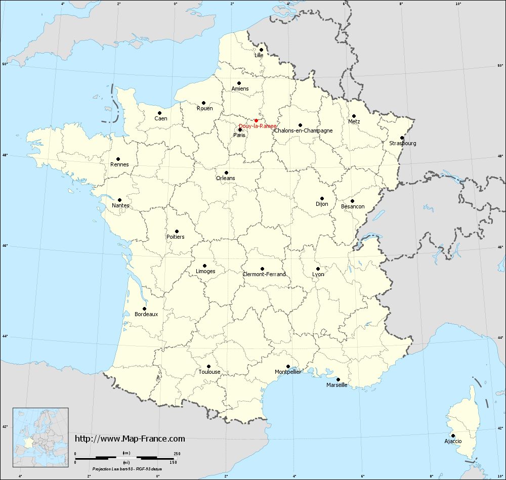
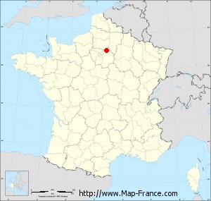
Map of Douy-la-Ramée with regions and prefectures
|
View the map of Douy-la-Ramée in full screen (1000 x 949)
|
You will find the location of Douy-la-Ramée on the map of France of regions in Lambert 93 coordinates. The town of Douy-la-Ramée is located in the department of Seine-et-Marne of the french region Île-de-France.
Geographical sexagesimal coordinates / GPS (WGS84):
Latitude: 49° 03' 59'' North
Longitude: 02° 52' 55'' East
Geographical decimal coordinates :
Latitude: 49.066 degrees (49.066° North)
Longitude: 2.882 degrees (2.882° East)
Lambert 93 coordinates :
X: 6 914 hectometers
Y: 68 852 hectometers
Lambert 2 coordinates :
X: 6 399 hectometers
Y: 24 522 hectometers
Below, the geographical coordinates of Melun, prefecture of the Seine-et-Marne department:
Geographical sexagesimal coordinates / GPS (WGS84):
Latitude: 48° 32' 23'' North
Longitude: 02° 39' 33'' East
Geographical decimal coordinates :
Latitude: 48.541 degrees (48.541° North)
Longitude: 2.657 degrees (2.657° East)
Lambert 93 coordinates :
X: 6 748 hectometers
Y: 68 267 hectometers
Lambert 2 coordinates :
X: 6 238 hectometers
Y: 23 935 hectometers
|
This map of Douy-la-Ramée is reusable and modifiable by making a link to this page of the Map-France.com website or by using the given code :
|
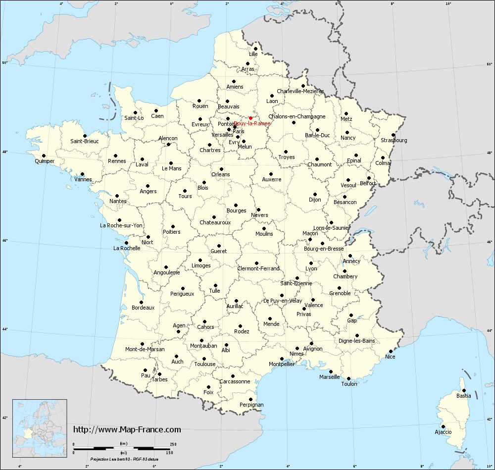
Map of Douy-la-Ramée with departments and prefectures
|
Voir la carte of Douy-la-Ramée en grand format (1000 x 949)
|
Here is the localization of Douy-la-Ramée on the France map of departments in Lambert 93 coordinates. The city of Douy-la-Ramée is shown on the map by a red point.
The town of Douy-la-Ramée is located in the department of Seine-et-Marne of the french region Île-de-France.
The latitude of Douy-la-Ramée is 49.066 degrees North.
The longitude of Douy-la-Ramée is 2.882 degrees East.
Here the distance between Douy-la-Ramée and the biggest cities of France:
Distances are calculated as the crow flies (orthodromic distance)
Distance between Douy-la-Ramée and Paris : 45.31 kilometers
Distance between Douy-la-Ramée and Marseille : 669.44 kilometers
Distance between Douy-la-Ramée and Lyon : 395.56 kilometers
Distance between Douy-la-Ramée and Toulouse : 617.15 kilometers
Distance between Douy-la-Ramée and Nice : 683.34 kilometers
Distance between Douy-la-Ramée and Nantes : 387.58 kilometers
Distance between Douy-la-Ramée and Strasbourg : 360.4 kilometers
Distance between Douy-la-Ramée and Montpellier : 611.07 kilometers
Distance between Douy-la-Ramée and Bordeaux : 537.37 kilometers
Distance between Douy-la-Ramée and Lille : 173.93 kilometers
Distance between Douy-la-Ramée and Rennes : 351.77 kilometers
Distance between Douy-la-Ramée and Reims : 86.15 kilometers
Clic here to see the map of Douy-la-Ramée in full screen:
Douy-la-Ramée on the map of french departments
|
This administrative map of Douy-la-Ramée is reusable and modifiable by making a link to this page of the Map-France.com website or by using the given code :
|
Administrative base maps of Douy-la-Ramée
|

See the administrative base map of Douy-la-Ramée in full screen (1000 x 949)
|
Small administrative base map of Douy-la-Ramée
|
This base map administrative of Douy-la-Ramée is reusable and modifiable by making a link to this page of the Map-France.com website or by using the given code :
|
 French Version : http://www.cartesfrance.fr