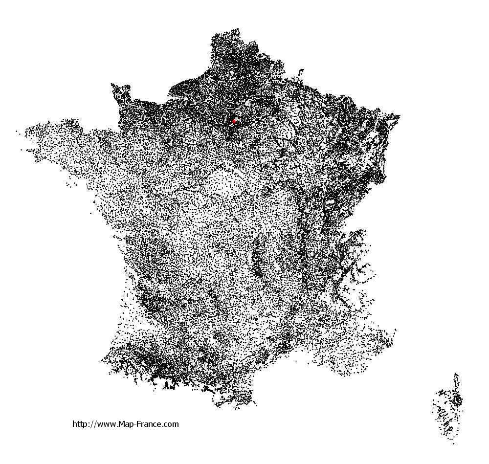
Dugny on the relief France map in Lambert 93 coordinates
|

See the map of Dugny in full screen (1000 x 949)
|
At left, here is the location of Dugny on the relief France map in Lambert 93 coordinates.
Here are the altitudes of Dugny :
- Town hall altitude of Dugny is 43 meters
- Minimum altitude of Dugny is 33 meters
- Maximum altitude of Dugny is 47 meters
- Medium altitude of Dugny is 40 meters
Here are the altitudes of Bobigny, prefecture of Seine-Saint-Denis department:
- Town hall altitude of Bobigny is 50 meters
- Minimum altitude of Bobigny is 39 meters
- Maximum altitude of Bobigny is 57 meters
- Medium altitude of Bobigny is 48 meters
Here are the altitudes of the french biggest cities:
Paris : 33 meters
Marseille : 20 meters
Lyon : 237 meters
Toulouse : 146 meters
Nice : 10 meters
Nantes : 20 meters
Strasbourg : 144 meters
Montpellier : 35 meters
Bordeaux : 16 meters
Lille : 20 meters
Rennes : 35 meters
Reims : 83 meters
Click here for the terrain map of Dugny in full screen:
Relief map of Dugny
|
This relief map of Dugny is reusable and modifiable by making a link to this page of the Map-France.com website or by using the given code :
|
Terrain base map of Dugny
|

See the terrain base map of Dugny in full screen (1000 x 949)
|
Small relief base map of Dugny

|
This base map of Dugny is reusable and modifiable by making a link to this page of the Map-France.com website or by using the given code :
|
Map of Dugny with regions and prefectures
|
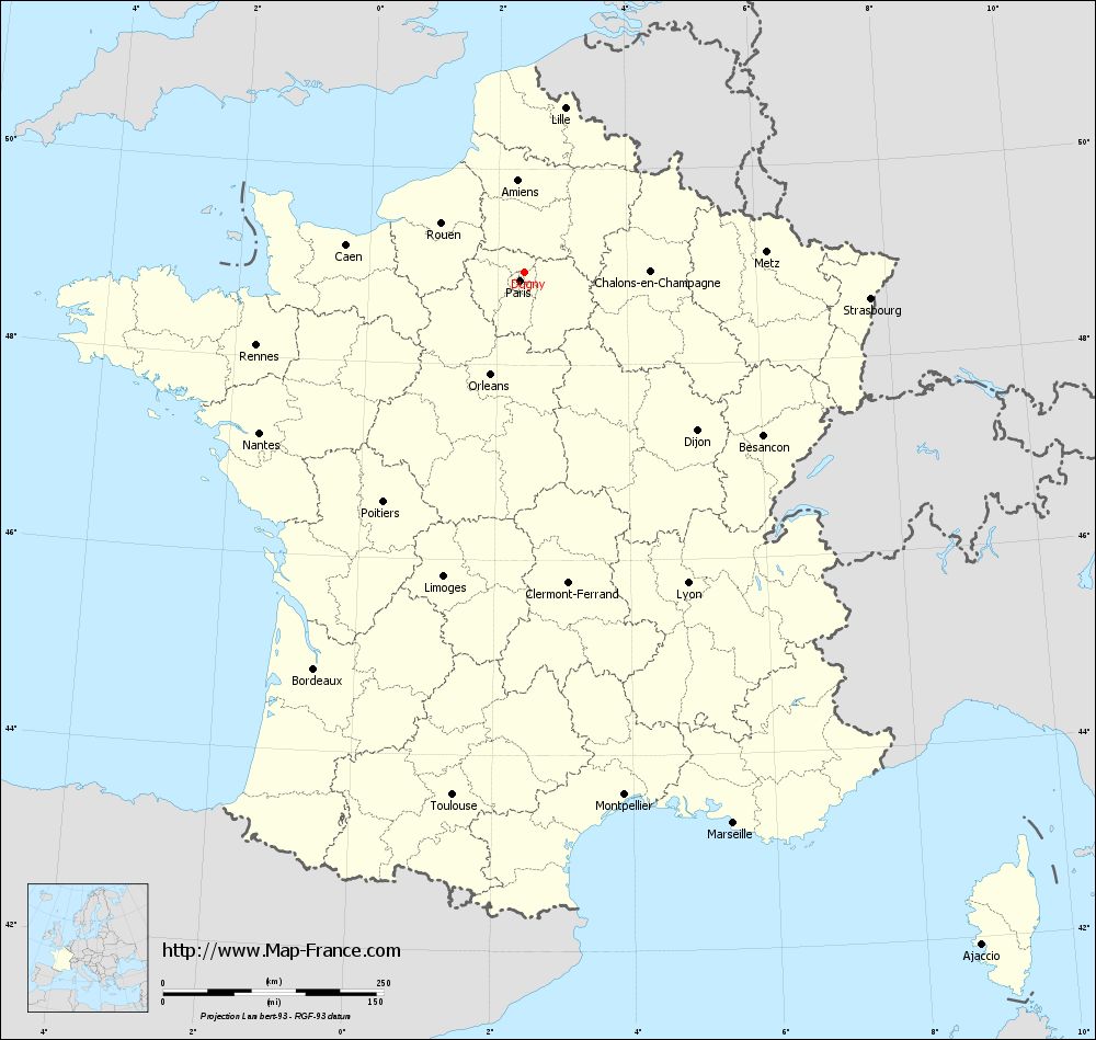
View the map of Dugny in full screen (1000 x 949)
|
You will find the location of Dugny on the map of France of regions in Lambert 93 coordinates. The city of Dugny is located in the department of Seine-Saint-Denis of the french region Île-de-France.
Geographical sexagesimal coordinates / GPS (WGS84):
Latitude: 48° 57' 13'' North
Longitude: 02° 24' 59'' East
Geographical decimal coordinates :
Latitude: 48.954 degrees (48.954° North)
Longitude: 2.415 degrees (2.415° East)
Lambert 93 coordinates :
X: 6 573 hectometers
Y: 68 728 hectometers
Lambert 2 coordinates :
X: 6 059 hectometers
Y: 24 395 hectometers
Below, the geographical coordinates of Bobigny, prefecture of the Seine-Saint-Denis department:
Geographical sexagesimal coordinates / GPS (WGS84):
Latitude: 48° 54' 35'' North
Longitude: 02° 26' 19'' East
Geographical decimal coordinates :
Latitude: 48.908 degrees (48.908° North)
Longitude: 2.442 degrees (2.442° East)
Lambert 93 coordinates :
X: 6 589 hectometers
Y: 68 679 hectometers
Lambert 2 coordinates :
X: 6 075 hectometers
Y: 24 346 hectometers
|
This map of Dugny is reusable and modifiable by making a link to this page of the Map-France.com website or by using the given code :
|
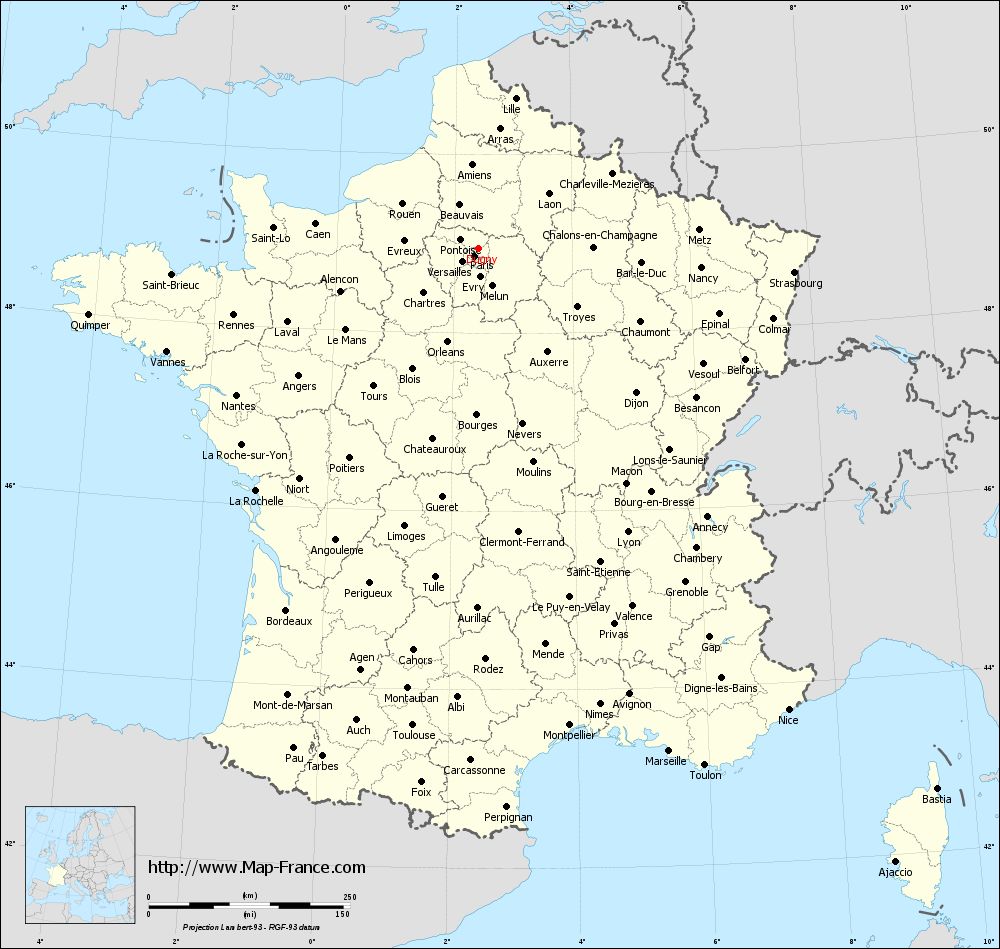
Map of Dugny with departments and prefectures
|
Voir la carte of Dugny en grand format (1000 x 949)
|
Here is the localization of Dugny on the France map of departments in Lambert 93 coordinates. The city of Dugny is shown on the map by a red point.
The city of Dugny is located in the department of Seine-Saint-Denis of the french region Île-de-France.
The latitude of Dugny is 48.954 degrees North.
The longitude of Dugny is 2.415 degrees East.
Here the distance between Dugny and the biggest cities of France:
Distances are calculated as the crow flies (orthodromic distance)
Distance between Dugny and Paris : 11.56 kilometers
Distance between Dugny and Marseille : 669.09 kilometers
Distance between Dugny and Lyon : 398.89 kilometers
Distance between Dugny and Toulouse : 599.5 kilometers
Distance between Dugny and Nice : 691.28 kilometers
Distance between Dugny and Nantes : 351.98 kilometers
Distance between Dugny and Strasbourg : 393.18 kilometers
Distance between Dugny and Montpellier : 604.37 kilometers
Distance between Dugny and Bordeaux : 509.99 kilometers
Distance between Dugny and Lille : 191.35 kilometers
Distance between Dugny and Rennes : 315.61 kilometers
Distance between Dugny and Reims : 122.31 kilometers
Clic here to see the map of Dugny in full screen:
Dugny on the map of french departments
|
This administrative map of Dugny is reusable and modifiable by making a link to this page of the Map-France.com website or by using the given code :
|
Administrative base maps of Dugny
|

See the administrative base map of Dugny in full screen (1000 x 949)
|
Small administrative base map of Dugny
|
This base map administrative of Dugny is reusable and modifiable by making a link to this page of the Map-France.com website or by using the given code :
|
 French Version : http://www.cartesfrance.fr