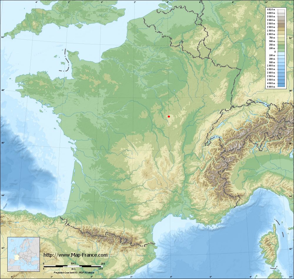
Dun-les-Places on the relief France map in Lambert 93 coordinates
|

See the map of Dun-les-Places in full screen (1000 x 949)
|
At left, here is the location of Dun-les-Places on the relief France map in Lambert 93 coordinates.
Here are the altitudes of Dun-les-Places :
- Town hall altitude of Dun-les-Places is 520 meters
- Minimum altitude of Dun-les-Places is 365 meters
- Maximum altitude of Dun-les-Places is 651 meters
- Medium altitude of Dun-les-Places is 508 meters
Here are the altitudes of Nevers, prefecture of Nièvre department:
- Town hall altitude of Nevers is 201 meters
- Minimum altitude of Nevers is 167 meters
- Maximum altitude of Nevers is 238 meters
- Medium altitude of Nevers is 203 meters
Here are the altitudes of the french biggest cities:
Paris : 33 meters
Marseille : 20 meters
Lyon : 237 meters
Toulouse : 146 meters
Nice : 10 meters
Nantes : 20 meters
Strasbourg : 144 meters
Montpellier : 35 meters
Bordeaux : 16 meters
Lille : 20 meters
Rennes : 35 meters
Reims : 83 meters
Click here for the terrain map of Dun-les-Places in full screen:
Relief map of Dun-les-Places
|
This relief map of Dun-les-Places is reusable and modifiable by making a link to this page of the Map-France.com website or by using the given code :
|
Terrain base map of Dun-les-Places
|
See the terrain base map of Dun-les-Places in full screen (1000 x 949)
|
Small relief base map of Dun-les-Places

|
This base map of Dun-les-Places is reusable and modifiable by making a link to this page of the Map-France.com website or by using the given code :
|
Map of Dun-les-Places with regions and prefectures
|
View the map of Dun-les-Places in full screen (1000 x 949)
|
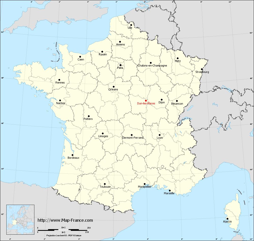
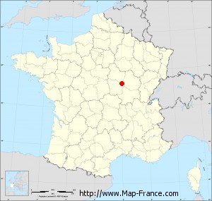
You will find the location of Dun-les-Places on the map of France of regions in Lambert 93 coordinates. The town of Dun-les-Places is located in the department of Nièvre of the french region Bourgogne.
Geographical sexagesimal coordinates / GPS (WGS84):
Latitude: 47° 17' 08'' North
Longitude: 04° 00' 57'' East
Geographical decimal coordinates :
Latitude: 47.285 degrees (47.285° North)
Longitude: 4.016 degrees (4.016° East)
Lambert 93 coordinates :
X: 7 768 hectometers
Y: 66 878 hectometers
Lambert 2 coordinates :
X: 7 270 hectometers
Y: 22 553 hectometers
Below, the geographical coordinates of Nevers, prefecture of the Nièvre department:
Geographical sexagesimal coordinates / GPS (WGS84):
Latitude: 46° 59' 33'' North
Longitude: 03° 09' 24'' East
Geographical decimal coordinates :
Latitude: 46.994 degrees (46.994° North)
Longitude: 3.156 degrees (3.156° East)
Lambert 93 coordinates :
X: 7 119 hectometers
Y: 66 547 hectometers
Lambert 2 coordinates :
X: 6 624 hectometers
Y: 22 217 hectometers
|
This map of Dun-les-Places is reusable and modifiable by making a link to this page of the Map-France.com website or by using the given code :
|
Map of Dun-les-Places with departments and prefectures
|
Voir la carte of Dun-les-Places en grand format (1000 x 949)
|
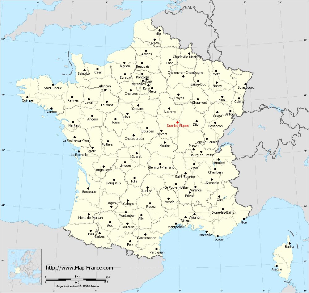
Here is the localization of Dun-les-Places on the France map of departments in Lambert 93 coordinates. The city of Dun-les-Places is shown on the map by a red point.
The town of Dun-les-Places is located in the department of Nièvre of the french region Bourgogne.
The latitude of Dun-les-Places is 47.285 degrees North.
The longitude of Dun-les-Places is 4.016 degrees East.
Here the distance between Dun-les-Places and the biggest cities of France:
Distances are calculated as the crow flies (orthodromic distance)
Distance between Dun-les-Places and Paris : 214.57 kilometers
Distance between Dun-les-Places and Marseille : 455.99 kilometers
Distance between Dun-les-Places and Lyon : 180.61 kilometers
Distance between Dun-les-Places and Toulouse : 455.59 kilometers
Distance between Dun-les-Places and Nice : 471.06 kilometers
Distance between Dun-les-Places and Nantes : 420.06 kilometers
Distance between Dun-les-Places and Strasbourg : 313.54 kilometers
Distance between Dun-les-Places and Montpellier : 408.56 kilometers
Distance between Dun-les-Places and Bordeaux : 445.83 kilometers
Distance between Dun-les-Places and Lille : 378.16 kilometers
Distance between Dun-les-Places and Rennes : 435.6 kilometers
Distance between Dun-les-Places and Reims : 219.25 kilometers
Clic here to see the map of Dun-les-Places in full screen:
Dun-les-Places on the map of french departments
|
This administrative map of Dun-les-Places is reusable and modifiable by making a link to this page of the Map-France.com website or by using the given code :
|
Administrative base maps of Dun-les-Places
|

See the administrative base map of Dun-les-Places in full screen (1000 x 949)
|
Small administrative base map of Dun-les-Places
|
This base map administrative of Dun-les-Places is reusable and modifiable by making a link to this page of the Map-France.com website or by using the given code :
|
 French Version : http://www.cartesfrance.fr