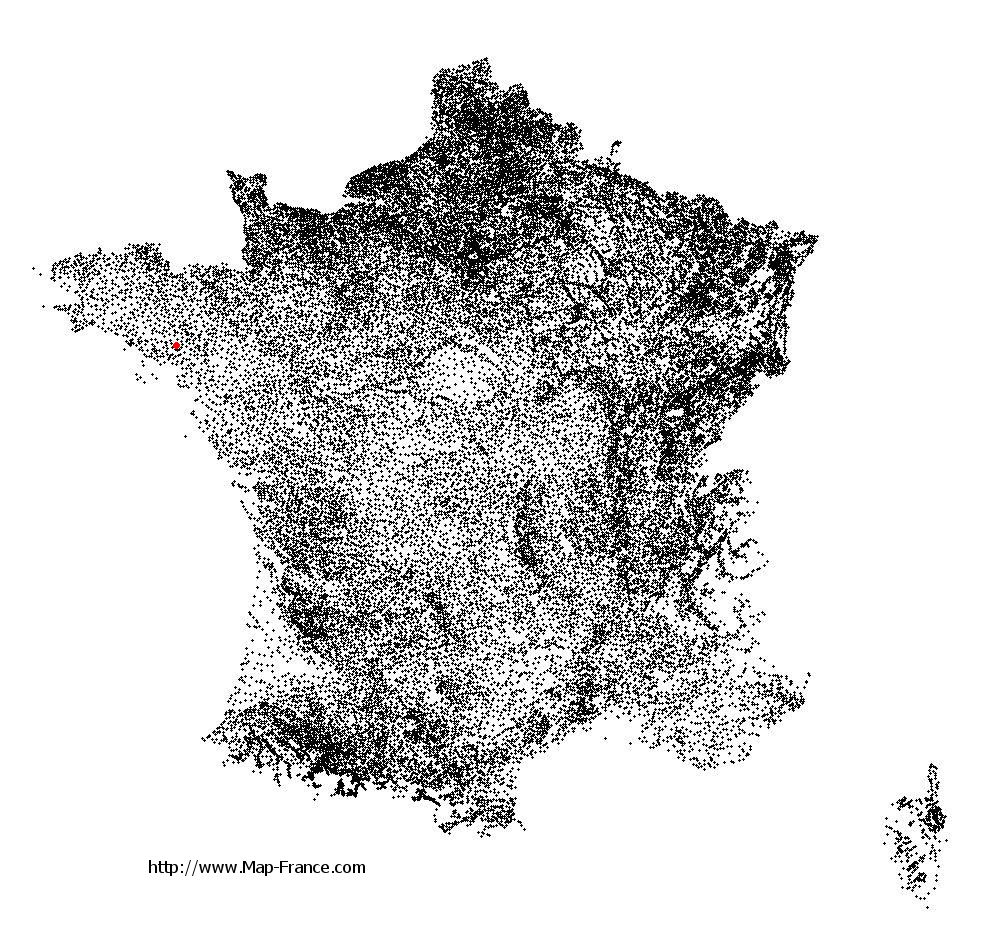
Elven on the relief France map in Lambert 93 coordinates
|

See the map of Elven in full screen (1000 x 949)
|
At left, here is the location of Elven on the relief France map in Lambert 93 coordinates.
Here are the altitudes of Elven :
- Town hall altitude of Elven is 91 meters
- Minimum altitude of Elven is 34 meters
- Maximum altitude of Elven is 152 meters
- Medium altitude of Elven is 93 meters
Here are the altitudes of Vannes, prefecture of Morbihan department:
- Town hall altitude of Vannes is 10 meters
- Minimum altitude of Vannes is 0 meters
- Maximum altitude of Vannes is 56 meters
- Medium altitude of Vannes is 28 meters
Here are the altitudes of the french biggest cities:
Paris : 33 meters
Marseille : 20 meters
Lyon : 237 meters
Toulouse : 146 meters
Nice : 10 meters
Nantes : 20 meters
Strasbourg : 144 meters
Montpellier : 35 meters
Bordeaux : 16 meters
Lille : 20 meters
Rennes : 35 meters
Reims : 83 meters
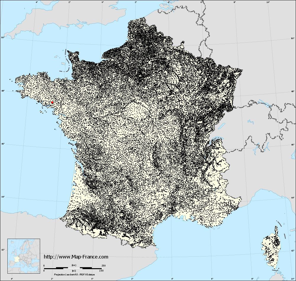
Click here for the terrain map of Elven in full screen:
Relief map of Elven
|
This relief map of Elven is reusable and modifiable by making a link to this page of the Map-France.com website or by using the given code :
|
Terrain base map of Elven
|

See the terrain base map of Elven in full screen (1000 x 949)
|
Small relief base map of Elven
|
This base map of Elven is reusable and modifiable by making a link to this page of the Map-France.com website or by using the given code :
|
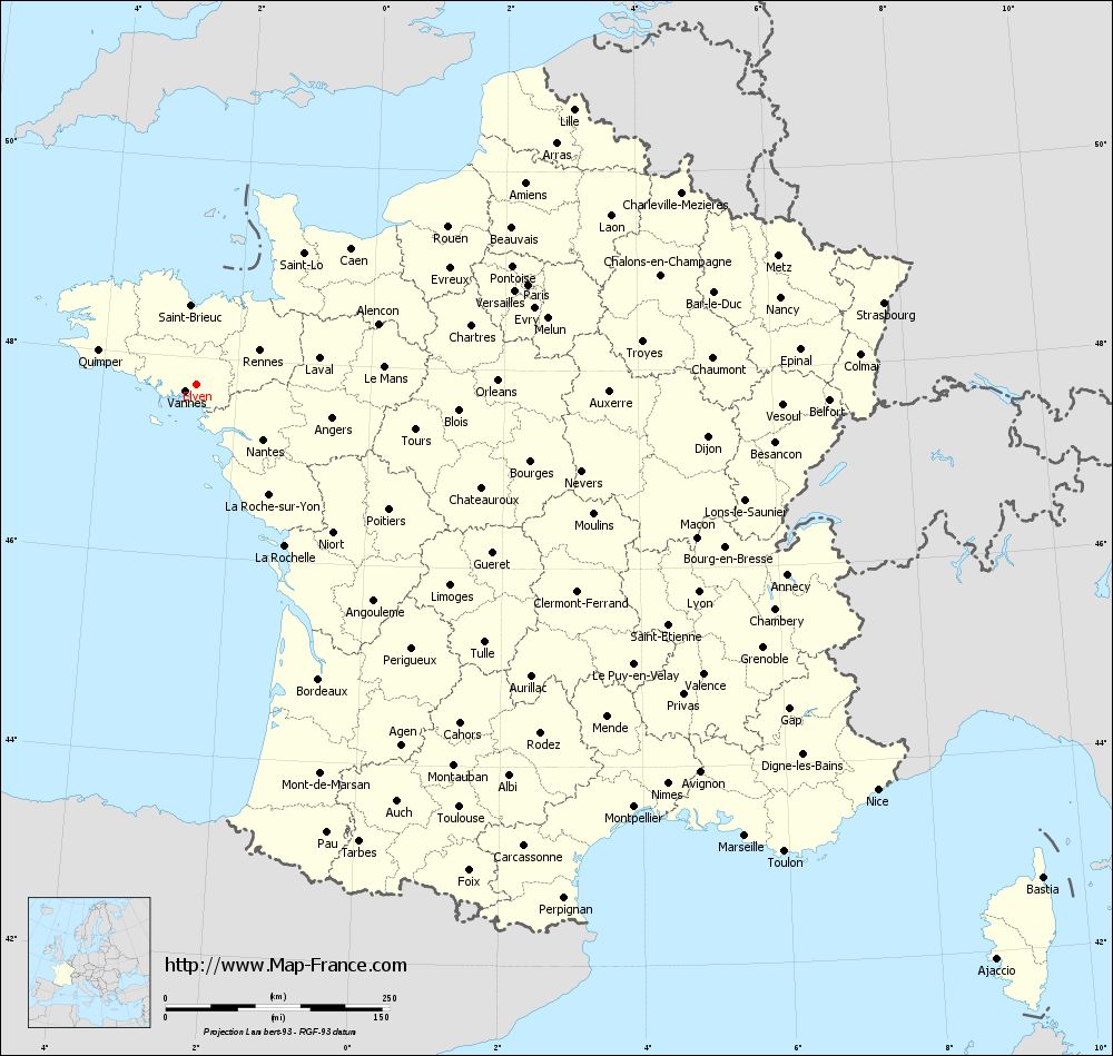
Map of Elven with regions and prefectures
|
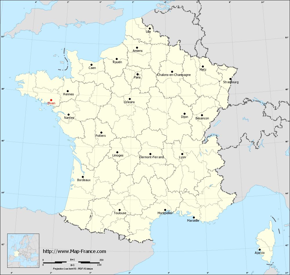
View the map of Elven in full screen (1000 x 949)
|
You will find the location of Elven on the map of France of regions in Lambert 93 coordinates. The city of Elven is located in the department of Morbihan of the french region Bretagne.
Geographical sexagesimal coordinates / GPS (WGS84):
Latitude: 47° 43' 53'' North
Longitude: 02° 35' 26'' West
Geographical decimal coordinates :
Latitude: 47.733 degrees (47.733° North)
Longitude: -2.589 degrees (2.589° West)
Lambert 93 coordinates :
X: 2 813 hectometers
Y: 67 516 hectometers
Lambert 2 coordinates :
X: 2 306 hectometers
Y: 23 151 hectometers
Below, the geographical coordinates of Vannes, prefecture of the Morbihan department:
Geographical sexagesimal coordinates / GPS (WGS84):
Latitude: 47° 39' 18'' North
Longitude: 02° 45' 42'' West
Geographical decimal coordinates :
Latitude: 47.655 degrees (47.655° North)
Longitude: -2.761 degrees (2.761° West)
Lambert 93 coordinates :
X: 2 679 hectometers
Y: 67 441 hectometers
Lambert 2 coordinates :
X: 2 173 hectometers
Y: 23 075 hectometers
|
This map of Elven is reusable and modifiable by making a link to this page of the Map-France.com website or by using the given code :
|
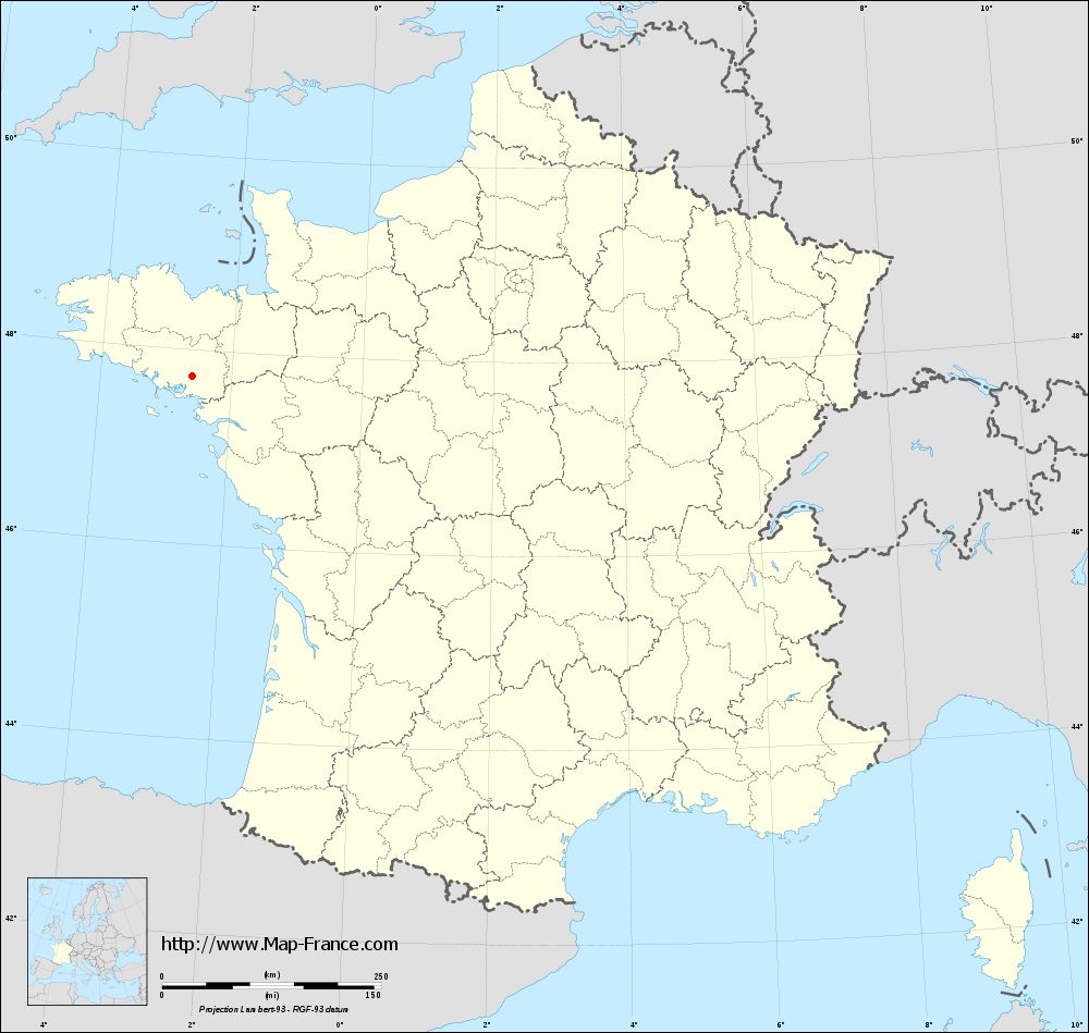
Map of Elven with departments and prefectures
|
Voir la carte of Elven en grand format (1000 x 949)
|
Here is the localization of Elven on the France map of departments in Lambert 93 coordinates. The city of Elven is shown on the map by a red point.
The city of Elven is located in the department of Morbihan of the french region Bretagne.
The latitude of Elven is 47.733 degrees North.
The longitude of Elven is 2.589 degrees West.
Here the distance between Elven and the biggest cities of France:
Distances are calculated as the crow flies (orthodromic distance)
Distance between Elven and Paris : 385.56 kilometers
Distance between Elven and Marseille : 792.82 kilometers
Distance between Elven and Lyon : 605.91 kilometers
Distance between Elven and Toulouse : 555.92 kilometers
Distance between Elven and Nice : 884.53 kilometers
Distance between Elven and Nantes : 96.44 kilometers
Distance between Elven and Strasbourg : 771.89 kilometers
Distance between Elven and Montpellier : 679.1 kilometers
Distance between Elven and Bordeaux : 356.37 kilometers
Distance between Elven and Lille : 520.17 kilometers
Distance between Elven and Rennes : 79.4 kilometers
Distance between Elven and Reims : 515.81 kilometers
Clic here to see the map of Elven in full screen:
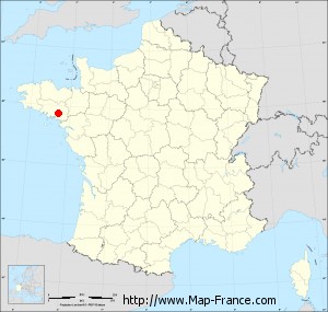
Elven on the map of french departments
|
This administrative map of Elven is reusable and modifiable by making a link to this page of the Map-France.com website or by using the given code :
|
Administrative base maps of Elven
|
See the administrative base map of Elven in full screen (1000 x 949)
|
Small administrative base map of Elven
|
This base map administrative of Elven is reusable and modifiable by making a link to this page of the Map-France.com website or by using the given code :
|
 French Version : http://www.cartesfrance.fr