|
The village of Épretot is a small village located north of France. The town of Épretot is located in the department of Seine-Maritime of the french region Haute-Normandie. The town of Épretot is located in the township of Saint-Romain-de-Colbosc part of the district of Le Havre. The area code for Épretot is 76239 (also known as code INSEE), and the Épretot zip code is 76430.
Geography and map of Épretot :
The altitude of the city hall of Épretot is approximately 110 meters. The Épretot surface is 6.84 km ². The latitude and longitude of Épretot are 49.54 degrees North and 0.315 degrees East.
Nearby cities and towns of Épretot are :
Saint-Aubin-Routot (76430) at 1.85 km, Sainneville (76430) at 2.66 km, Étainhus (76430) at 2.99 km, Saint-Romain-de-Colbosc (76430) at 3.23 km, Oudalle (76430) at 3.85 km, Graimbouville (76430) at 4.12 km, Saint-Laurent-de-Brèvedent (76700) at 4.19 km, Gommerville (76430) at 4.29 km.
(The distances to these nearby towns of Épretot are calculated as the crow flies)
Population and housing of Épretot :
The population of Épretot was 644 in 1999, 721 in 2006 and 732 in 2007. The population density of Épretot is 107.02 inhabitants per km². The number of housing of Épretot was 241 in 2007. These homes of Épretot consist of 238 main residences, 3 second or occasional homes and 0 vacant homes. |
|
|
Hotel Épretot
|
|
|
Book now ! Best Price Guaranteed, no booking fees, pay at the hotel with our partner Booking.com, leader in online hotel reservation.
Find all hotels of Épretot : Hotel Épretot
| |
|
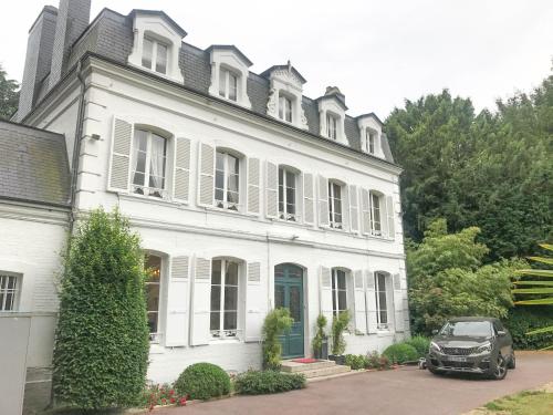
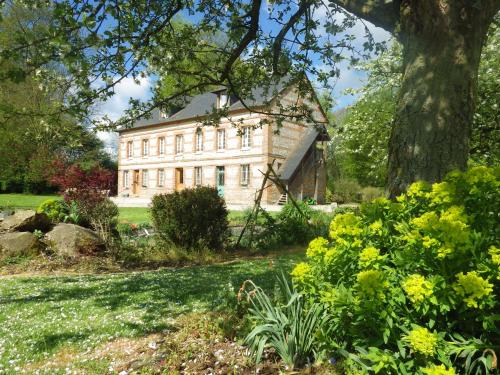
Guest accommodation : French Styled House Normandy

French Styled House Normandy is set in Saint-Aubin-Routot. The property has garden views and is 40 km from Deauville. With 3 bedrooms and 3 bathrooms with a bath and a shower, ...
Rate : from 195.00 €
Address : 9 Rue de l'Église 76430 Saint-Aubin-Routot
Distance Guest accommodation - Épretot : 1.99 km
|
|
|
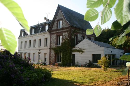
Guest accommodation : Les Sous Bois
Situated in Saint-Laurent-de-Brévedent, 25 km from Deauville, Les Sous Bois boasts a barbecue and views of the garden. Free private parking is available on site. Rooms are equi...
Price : from 48.00 €
Contact : Résidence Des Sous Bois, Route du Château 14 76700 Saint-Laurent-de-Brévedent
Distance Guest accommodation - Épretot : 2.00 km
|
|
|
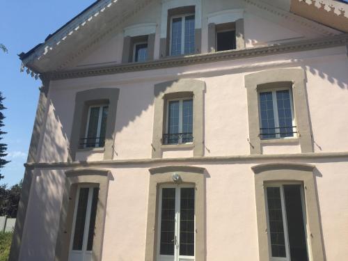
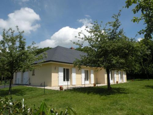
Apartment : Gainneville
Featuring accommodation with a terrace, Gainneville is situated in the apartment. The property features garden views and is 36 km from Deauville. The apartment features 1 bedro...
Contact : 25 sentier des meuniers 76700 Gainneville
Distance Apartment - Épretot : 6.10 km
|
|
|
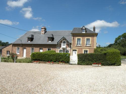
Guest accommodation : Ferme Clatot
Ferme Clatot in Les Trois Pierres has 2-star accommodation with a garden and a terrace. This 2-star guest house offers free WiFi. The property offers a children's playground. A...
Rate : from 70.00 €
to 110.00 €
Contact : 108 RUE LA MARE AU LEU 76430 Les Trois Pierres
Distance Guest accommodation - Épretot : 6.30 km
|
|
|
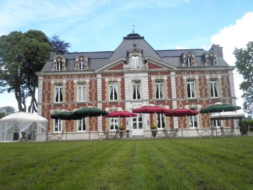
Guest accommodation : Chateau Des Saveurs
Chateau Des Saveurs is an elegant guest house located in Saint-Sauveur-d’Émalleville. It features a seasonal outdoor swimming pool, tennis court and a spa area with hammam, saun...
Price : from 90.00 €
to 145.00 €
Address : Route Du Chateau 76110 Saint-Sauveur-dʼÉmalleville
Distance Guest accommodation - Épretot : 6.73 km
|
|

|
Hotel : Campanile Le Havre Est - Gonfreville
This hotel offers fully equipped guest rooms with free Wi-Fi. Guests can enjoy the buffet breakfast or a family-style meal in the on site restaurant. A flat-screen TV with cabl...
Prices : from 45.00 €
to 70.00 €
Contact : rue du château d'eau 76700 Gonfreville-lʼOrcher
Distance Hotel - Épretot : 7.02 km
|
|

|
Hotel : hotelF1 Le Havre
Hotelf1 Le Havre offers accommodation in Gonfreville-l’Orcher, 10 km away from Le Havre. Free WiFi and free private parking are offered on site. Each room is equipped with a fl...
Rate : from 33.17 €
to 50.83 €
Contact : 1 rue du Château d'eau C. Cial Océane Leclerc 76700 Gonfreville-lʼOrcher
Distance Hotel - Épretot : 7.03 km
|
|
|
Guest accommodation : Holiday Home La Remuée
Located in Le Paradis in the Upper Normandy region, Holiday Home La Remuée has a garden. This holiday home also features free WiFi. The holiday home has 3 bedrooms, a TV and a ...
Contact : 76430 Le Paradis
Distance Guest accommodation - Épretot : 7.65 km
|
|
|
Guest accommodation : La Remuée 2
Situated in La Remuée in the Upper Normandy region, La Remuée 2 has a garden. Guests have access to free WiFi. The holiday home is fitted with 2 bedrooms, a TV and a fully equi...
Address : 76430 La Remuée
Distance Guest accommodation - Épretot : 7.65 km
|
|
|
Guest accommodation : Gîte Philésim
Gîte Philésim is situated in Montivilliers. It features city views and free WiFi. The holiday home has a flat-screen TV, a seating area, a kitchen with a dishwasher, and 1 bath...
Contact : 18 Rue Cardot 76290 Montivilliers
Distance Guest accommodation - Épretot : 8.96 km
|
|
Find another hotel near Épretot : Épretot hotels list
|
Map of Épretot
|
|
Map of Épretot :
At right you can find the localization of Épretot on the map of France. Below, this is the satellite map of Épretot. A road map, and maps templates of Épretot are available here : "road map of Épretot". This map show Épretot seen by the satellite of Google Map. To see the streets of Épretot or move on another zone, use the buttons "zoom" and "map" on top of this dynamic map.
Search on the map of Épretot :
To search hotels, housings, tourist information office, administrations or other services, use the Google search integrated to the map on the following page : "map Épretot".
Hotels of Épretot are listed on the map with the following icons: 
The map of Épretot is centred in the following coordinates :
|

|
|
|
|
Print the map of Épretot

Print the map of Épretot : map of Épretot
|
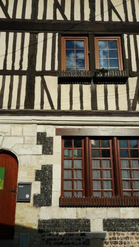
Photos Épretot
|
See all photos of Épretot :
Other photos of Épretot and nearby towns can be found here: photos Épretot
|
|
Épretot weather forecast
Find next hours and 7 days weather forecast for Épretot here : weather Épretot (with english metrics)
This is the last weather forecast for Épretot collected by the nearest observation station of Saint-Romain-de-Colbosc.
Week Forecast:
The latest weather data for Épretot were collected Thursday, 30 July 2026 at 19:05 from the nearest observation station of Saint-Romain-de-Colbosc.
| Thursday, July 30th |
25°C 17°C
0%
72%
|
Mostly cloudy
Temperature Max: 25°C Temperature Min: 17°C
Precipitation Probability: 0%
Percentage of sky occluded by clouds: 72%
Wind speed: 14 km/h East
Humidity: 71%° UV Index: 6
Sunrise: 06:26 Sunset: 21:42 |
|
| | Friday, July 31st |
23°C 16°C
0%
59%
|
Partly cloudy
Temperature Max: 23°C Temperature Min: 16°C
Precipitation Probability: 0%
Percentage of sky occluded by clouds: 59%
Wind speed: 15 km/h South-East
Humidity: 65%° UV Index: 6
Sunrise: 06:28 Sunset: 21:40 |
|
| | Saturday, August 1st |
23°C 13°C
0%
59%
|
Partly cloudy
Temperature Max: 23°C Temperature Min: 13°C
Precipitation Probability: 0%
Percentage of sky occluded by clouds: 59%
Wind speed: 13 km/h South
Humidity: 57%° UV Index: 5
Sunrise: 06:29 Sunset: 21:39 |
|
| | Sunday, August 2nd |
28°C 12°C
0%
58%
|
Partly cloudy
Temperature Max: 28°C Temperature Min: 12°C
Precipitation Probability: 0%
Percentage of sky occluded by clouds: 58%
Wind speed: 10 km/h Sout-East
Humidity: 49%° UV Index: 6
Sunrise: 06:31 Sunset: 21:37 |
|
|
Attribution: 
|
|
Other maps, hotels and towns in france
Find another town, zip code, department, region, ...
Quick links Épretot :
Make a link to this page of Épretot with the following code :
|
|
|
 French Version : http://www.cartesfrance.fr/carte-france-ville/76239_Epretot.html