|
The village of Ercé is a small village located south of France. The town of Ercé is located in the department of Ariège of the french region Midi-Pyrénées. The town of Ercé is located in the township of Oust part of the district of Saint-Girons. The area code for Ercé is 09113 (also known as code INSEE), and the Ercé zip code is 09140.
Geography and map of Ercé :
The altitude of the city hall of Ercé is approximately 615 meters. The Ercé surface is 40.75 km ². The latitude and longitude of Ercé are 42.851 degrees North and 1.291 degrees East.
Nearby cities and towns of Ercé are :
Aleu (09320) at 5.08 km, Ustou (09140) at 5.33 km, Biert (09320) at 5.69 km, Massat (09320) at 6.20 km, Oust (09140) at 6.81 km, Boussenac (09320) at 6.82 km, Le Port (09320) at 7.00 km, Soulan (09320) at 7.49 km.
(The distances to these nearby towns of Ercé are calculated as the crow flies)
Population and housing of Ercé :
The population of Ercé was 532 in 1999, 529 in 2006 and 539 in 2007. The population density of Ercé is 13.23 inhabitants per km². The number of housing of Ercé was 587 in 2007. These homes of Ercé consist of 233 main residences, 318 second or occasional homes and 36 vacant homes. |
|
|
Hotel Ercé
|
|
|
Book now ! Best Price Guaranteed, no booking fees, pay at the hotel with our partner Booking.com, leader in online hotel reservation.
Find all hotels of Ercé : Hotel Ercé
| |
|
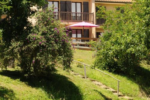
Bed and Breakfast : Skymist Maison d'hôtes

Situated in Biert in the Occitan Region, 47 km from Andorra la Vella, Skymist boasts views of the mountain. Skymist offers free WiFi throughout the property. Free private parkin...
Rate : from 52.00 €
to 65.00 €
Address : Lieu dit Nabios 09360 Biert
Distance Bed and Breakfast - Ercé : 5.73 km
|
|
|
Hotel : Hostellerie de La Poste

Situated within the Pyrenees Ariegeoises Natural Regional Park, Hostellerie de la Poste is situated in the village of Oust. The hotel features an outdoor swimming pool and free ...
Contact : Grand Rue 09140 Oust
Distance Hotel - Ercé : 6.68 km
|
|
|
Guest accommodation : Camping Le Haut Salat
Camping le Haut Salat is set 500 metres from Seix and a 5-minute walk from Seix Château. It offers a heated swimming pool, and a bar in summer. The bungalows at Camping le Haut...
Prices : from 103.50 €
to 140.50 €
Contact : Route de Soueix 09140 Seix
Distance Guest accommodation - Ercé : 7.35 km
|
|
|
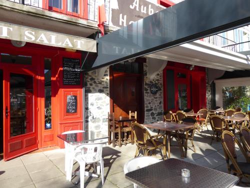
Hotel : Auberge du Haut Salat
Auberge Du Haut Salat is located on the main square in the village of Seix in Couserans. It offers affordable rooms with private en suite facilities and free Wi-Fi internet acce...
Rate : from 45.00 €
to 73.00 €
Contact : 16, Place De L'allée 09140 Seix
Distance Hotel - Ercé : 7.42 km
|
|
|
Guest accommodation : Au Songe du Valier- Chalets
Offering a garden, Au Songe du Valier- Chalets offers pet-friendly accommodation in Seix. Free private parking is available on site. There is also a kitchen, equipped with an o...
Address : Chemin des Escarreres 09140 Seix
Distance Guest accommodation - Ercé : 7.46 km
|
|
|
Apartment : Appartement à la montagne
Appartement à la montagne enjoys a location in Aulus-les-Bains, just 6 km from Téléski du Col de Latrappe and 13 km from Guzet-Neige Prat Mataou Téléski des Souleillous. It has ...
Contact : Le Grand Hotel 09140 Aulus-les-Bains
Distance Apartment - Ercé : 7.53 km
|
|
|
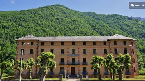
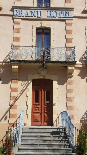
Apartment : Aulus-les-Bains
Aulus-les-Bains is set in the apartment, 6 km from Téléski du Col de Latrappe, 13 km from Guzet-Neige Prat Mataou Téléski des Souleillous, and 13 km from Guzet-Neige Prat Mataou...
Contact : Grand Hotel, Appartement 104 09140 Aulus-les-Bains
Distance Apartment - Ercé : 7.53 km
|
|
|
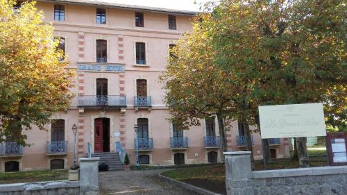
Apartment : Résidence du Grand-Hôtel
Complete with a garden, Résidence du Grand-Hôtel is located in Aulus-les-Bains, 6 km from Téléski du Col de Latrappe and 13 km from Guzet-Neige Prat Mataou Téléski des Souleillo...
Contact : N°102 1er étage Résidence Le Grand-Hôtel Rue principale 09140 Aulus-les-Bains
Distance Apartment - Ercé : 7.53 km
|
|
|
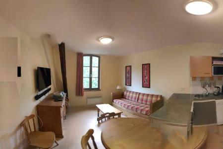
Apartment : Résidence Grand Hôtel Appartement Standing
Set in Aulus-les-Bains, Résidence Grand Hôtel Appartement Standing offers self-catering accommodation with free WiFi. The unit is 35 km from Andorra la Vella. Free private parki...
Prices : from 47.50 €
to 50.00 €
Address : Residence Le Grand Hôtel ,Rue Principale 09100 Aulus-les-Bains
Distance Apartment - Ercé : 7.54 km
|
|
|
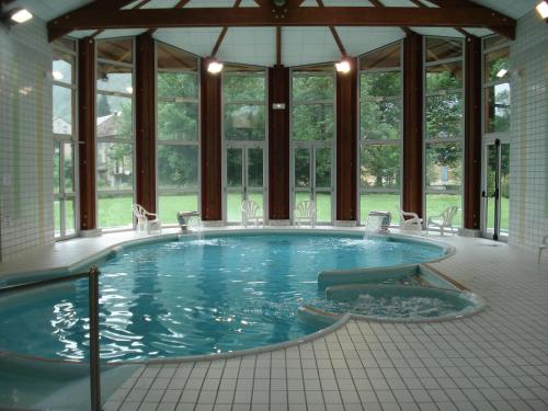
Guest accommodation : Résidence des 3 Césars
Located 12 km from Guzet ski resort, Résidence des 3 Césars sits in a well-kept garden and offers an indoor swimming pool, self-catering apartments, ski storage facilities and f...
Rate : from 33.29 €
to 90.00 €
Contact : Allée des Thermes 09140 Aulus-les-Bains
Distance Guest accommodation - Ercé : 7.58 km
|
|
Find another hotel near Ercé : Ercé hotels list
|
Map of Ercé
|
|
Map of Ercé :
At right you can find the localization of Ercé on the map of France. Below, this is the satellite map of Ercé. A road map, and maps templates of Ercé are available here : "road map of Ercé". This map show Ercé seen by the satellite of Google Map. To see the streets of Ercé or move on another zone, use the buttons "zoom" and "map" on top of this dynamic map.
Search on the map of Ercé :
To search hotels, housings, tourist information office, administrations or other services, use the Google search integrated to the map on the following page : "map Ercé".
Hotels of Ercé are listed on the map with the following icons: 
The map of Ercé is centred in the following coordinates :
|

|
|
|
|
Print the map of Ercé

Print the map of Ercé : map of Ercé
|
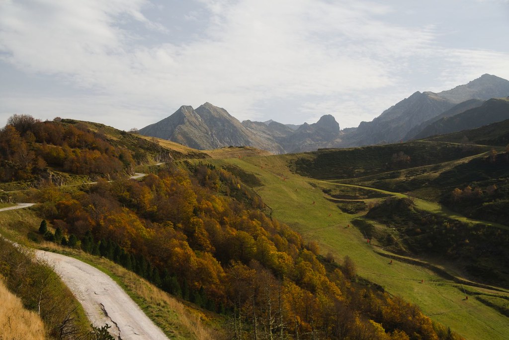
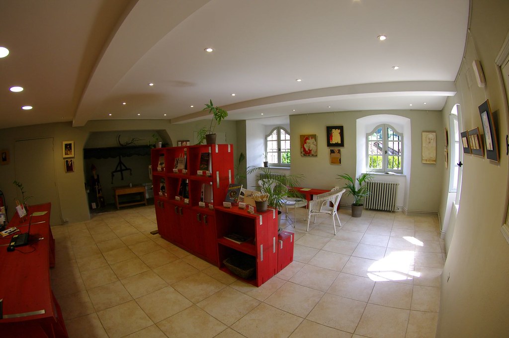
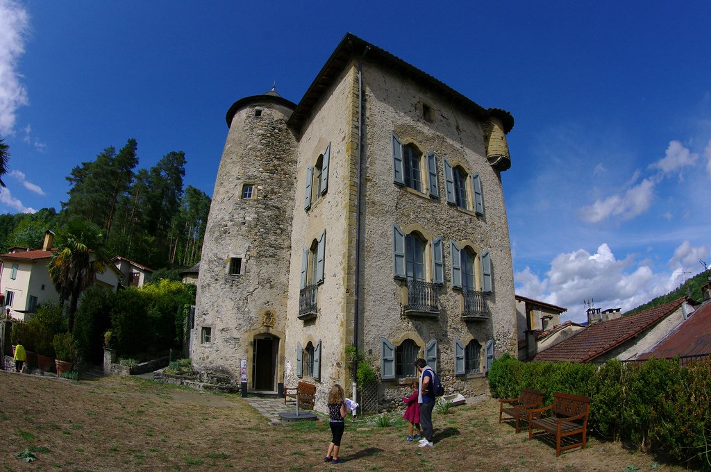
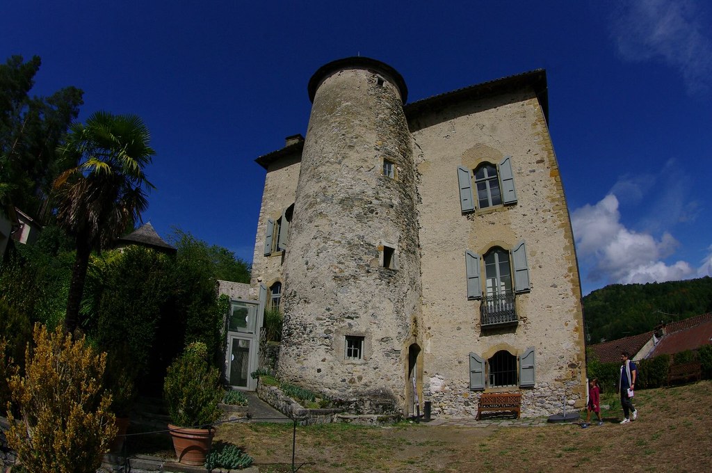
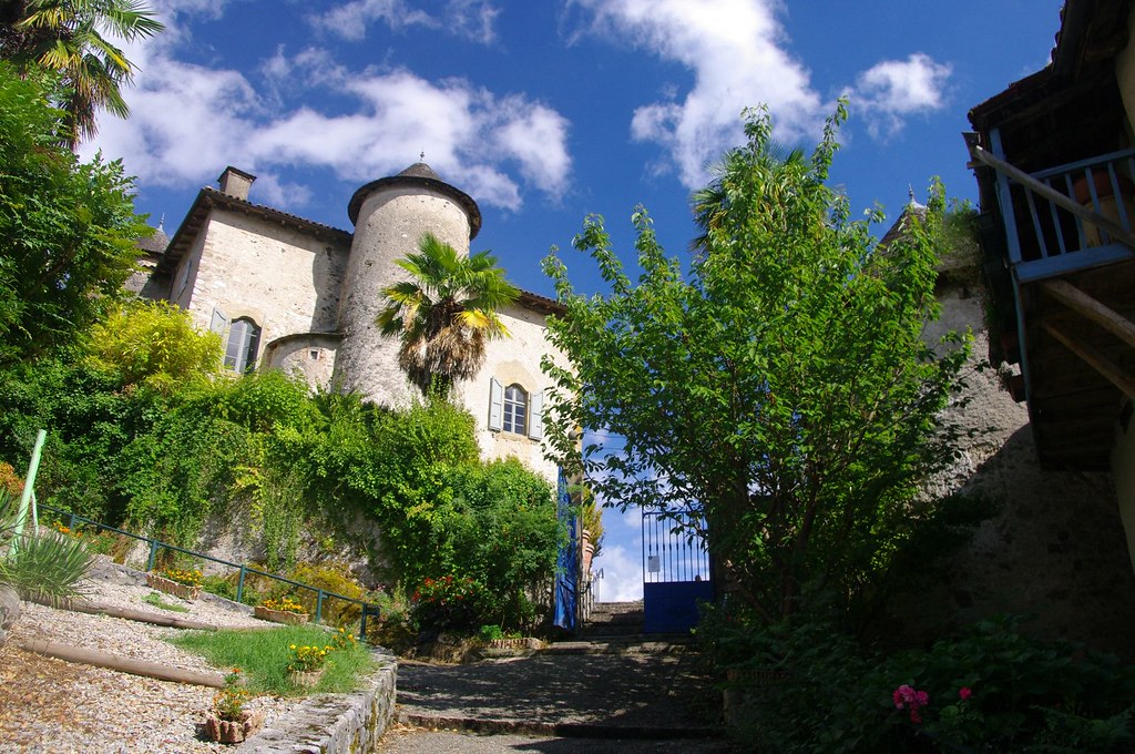
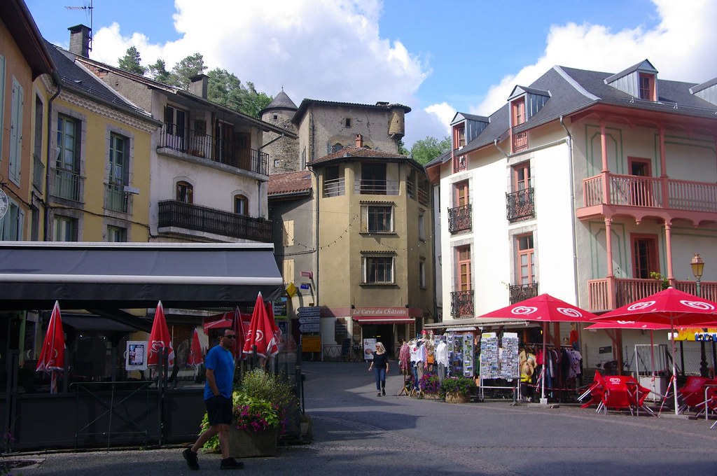
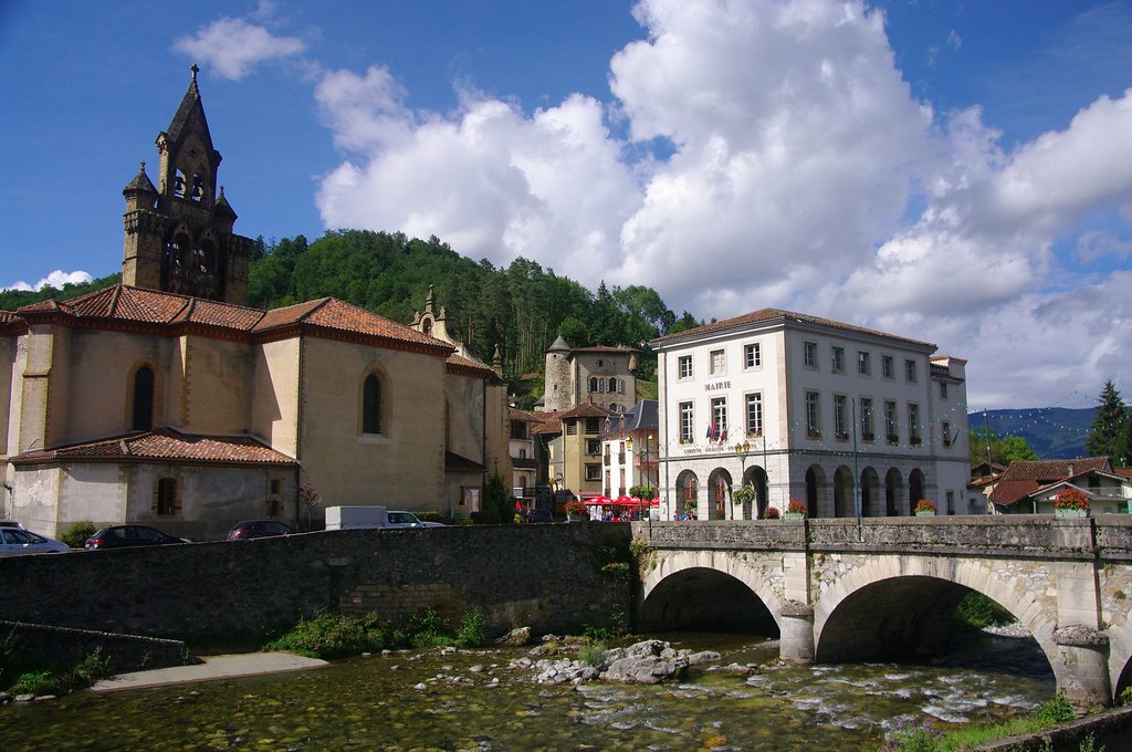
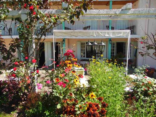
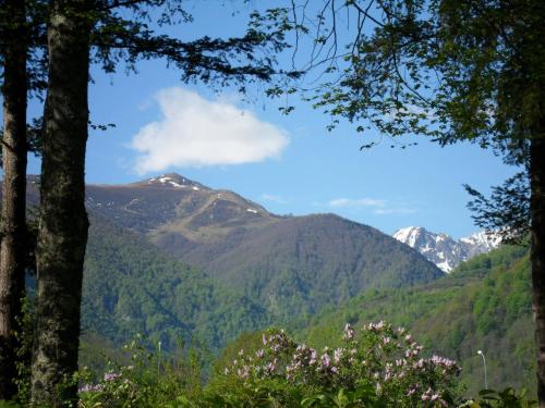
Photos Ercé
|
See all photos of Ercé :
Other photos of Ercé and nearby towns can be found here: photos Ercé
|
|
Ercé weather forecast
Find next hours and 7 days weather forecast for Ercé here : weather Ercé (with english metrics)
This is the last weather forecast for Ercé collected by the nearest observation station of Oust.
Week Forecast:
The latest weather data for Ercé were collected Friday, 31 July 2026 at 11:01 from the nearest observation station of Oust.
| Friday, July 31st |
25°C 18°C
44%
64%
|
Drizzle
Temperature Max: 25°C Temperature Min: 18°C
Precipitation Probability: 44% (Rain)
Percentage of sky occluded by clouds: 64%
Wind speed: 5 km/h South
Humidity: 66%° UV Index: 7
Sunrise: 06:45 Sunset: 21:17 |
|
| | Saturday, August 1st |
26°C 16°C
28%
36%
|
Mostly clear
Temperature Max: 26°C Temperature Min: 16°C
Precipitation Probability: 28% (Rain)
Percentage of sky occluded by clouds: 36%
Wind speed: 6 km/h South
Humidity: 66%° UV Index: 8
Sunrise: 06:46 Sunset: 21:16 |
|
| | Sunday, August 2nd |
30°C 18°C
33%
34%
|
Mostly clear
Temperature Max: 30°C Temperature Min: 18°C
Precipitation Probability: 33%
Percentage of sky occluded by clouds: 34%
Wind speed: 5 km/h South
Humidity: 46%° UV Index: 7
Sunrise: 06:47 Sunset: 21:15 |
|
| | Monday, August 3rd |
27°C 17°C
48%
43%
|
Thunderstorms
Temperature Max: 27°C Temperature Min: 17°C
Precipitation Probability: 48% (Rain)
Percentage of sky occluded by clouds: 43%
Wind speed: 4 km/h South
Humidity: 58%° UV Index: 6
Sunrise: 06:48 Sunset: 21:13 |
|
|
Attribution: 
|
|
Other maps, hotels and towns in france
Find another town, zip code, department, region, ...
Quick links Ercé :
Make a link to this page of Ercé with the following code :
|
|
|
 French Version : http://www.cartesfrance.fr/carte-france-ville/09113_Erce.html