|
The village of Ergnies is a small village located north of France. The town of Ergnies is located in the department of Somme of the french region Picardie. The town of Ergnies is located in the township of Ailly-le-Haut-Clocher part of the district of Abbeville. The area code for Ergnies is 80281 (also known as code INSEE), and the Ergnies zip code is 80690.
Geography and map of Ergnies :
The altitude of the city hall of Ergnies is approximately 116 meters. The Ergnies surface is 1.96 km ². The latitude and longitude of Ergnies are 50.086 degrees North and 2.037 degrees East.
Nearby cities and towns of Ergnies are :
Gorenflos (80690) at 1.38 km, Brucamps (80690) at 1.80 km, Ailly-le-Haut-Clocher (80690) at 2.97 km, Villers-sous-Ailly (80690) at 3.11 km, Surcamps (80620) at 3.15 km, Domqueur (80620) at 3.25 km, Vauchelles-lès-Domart (80620) at 3.71 km, Bussus-Bussuel (80135) at 4.03 km.
(The distances to these nearby towns of Ergnies are calculated as the crow flies)
Population and housing of Ergnies :
The population of Ergnies was 152 in 1999, 188 in 2006 and 193 in 2007. The population density of Ergnies is 98.47 inhabitants per km². The number of housing of Ergnies was 65 in 2007. These homes of Ergnies consist of 60 main residences, 3 second or occasional homes and 2 vacant homes. |
|
|
Hotel Ergnies
|
|
|
Book now ! Best Price Guaranteed, no booking fees, pay at the hotel with our partner Booking.com, leader in online hotel reservation.
Find all hotels of Ergnies : Hotel Ergnies
| |
|
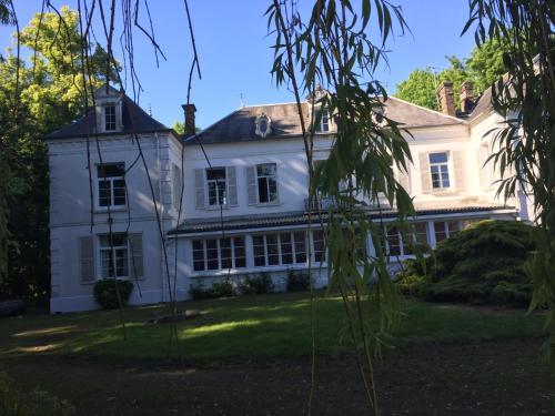
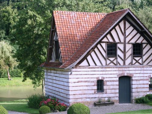
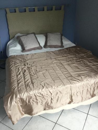
Guest accommodation : Chateau Ailly le haut clocher


Featuring a garden, Chateau Ailly le haut clocher is a detached villa situated in Ailly-le-Haut-Clocher. The property boasts views of the garden and is 30 km from Amiens. Free W...
Address : 1 route nationale 80690 Ailly-le-Haut-Clocher
Distance Guest accommodation - Ergnies : 3.30 km
|
|
|
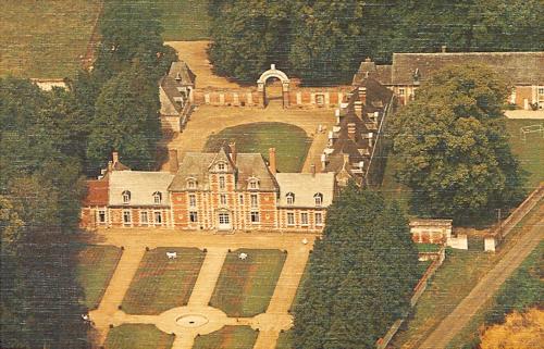
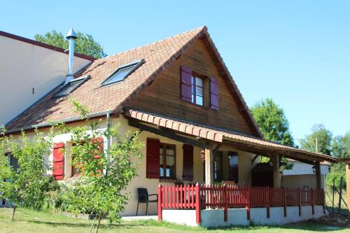
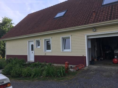
Guest accommodation : Chateau de Vauchelles
Located in Vauchelles-lès-Domart, Château de Vauchelles offers a garden, billiards and BBQ facilities. Abbeville is only a 20-minute drive away and Amiens is a 25-minute drive i...
Contact : 4 route de Mouflers 80620 Vauchelles-lès-Domart
Distance Guest accommodation - Ergnies : 3.91 km
|
|
|
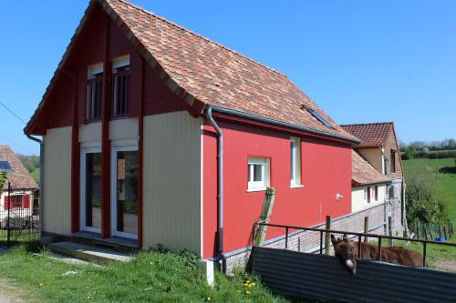
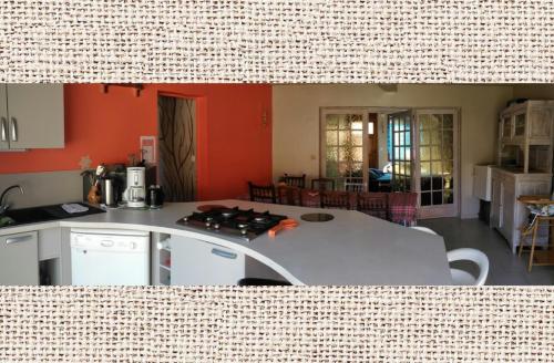
Guest accommodation : Holiday home Gite de Franssu
Holiday home Gite de Franssu is located in Fransu and offers water sports facilities and barbecue facilities. This holiday home features accommodation with a terrace and free Wi...
Contact : 80620 Fransu
Distance Guest accommodation - Ergnies : 5.39 km
|
|
|
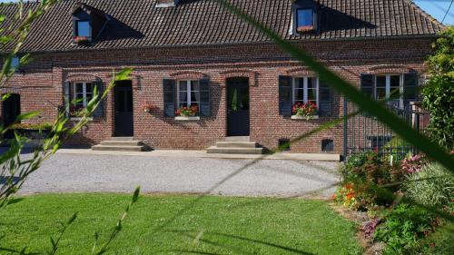
Guest accommodation : La Bergerie du festel
Located in a natural setting with a large garden, La Bergerie du Festel is located in Saint-Riquier. It provides free WiFi access. This self-catering house includes a dining ro...
Rate : from 100.00 €
Contact : 10 bis grande Rue Le Festel 80135 Saint-Riquier
Distance Guest accommodation - Ergnies : 8.19 km
|
|
|
Guest accommodation : La Grange Du Festel
Featuring a garden, La Grange Du Festel is a detached holiday home situated in Oneux. The unit is 36 km from Amiens. Free WiFi is offered throughout the property and free privat...
Price : from 100.00 €
Address : Le Festel 10 grande Rue 80135 Oneux
Distance Guest accommodation - Ergnies : 8.20 km
|
|
|
Bed and Breakfast : Relais du Beffroi Chambres d'Hôtes
Located in Saint-Riquier, Relais du Beffroi is an 18th-century house set in a 1-hectare land and offers B&B accommodation. Just 10 metres from the Belfry of Saint-Riquier, you c...
Prices : from 90.00 €
to 95.00 €
Contact : 7 Place du Beffroi 80135 Saint-Riquier
Distance Bed and Breakfast - Ergnies : 8.41 km
|
|
|
Guest accommodation : Le Gite De Vieulaines
Located in Fontaine-sur-Somme in the Picardy region, Le Gite De Vieulaines features a terrace and lake views. Guests staying at this holiday home have access to a fully equipped...
Rate : from 90.00 €
Contact : 19 Rue du Bas. VIEULAINES 80510 Fontaine-sur-Somme
Distance Guest accommodation - Ergnies : 8.59 km
|
|
|
Guest accommodation : Maison beaumetz
Maison beaumetz is set in Beaumetz and offers barbecue facilities, a garden and a shared lounge. Complimentary WiFi is provided. This holiday home features 5 bedrooms and 1 bat...
Contact : Route principale 80370 Beaumetz
Distance Guest accommodation - Ergnies : 9.20 km
|
|
|
Guest accommodation : Aux 10 Ponts
Aux 10 Ponts offers pet-friendly accommodation in Pont-Rémy. Guests benefit from terrace. Free private parking is available on site and free WiFi is provided. There is a dining...
Prices : from 80.00 €
to 152.25 €
Address : 3 Rue Jules Ferry 80580 Pont-Rémy
Distance Guest accommodation - Ergnies : 10.10 km
|
|
|
Bed and Breakfast : Chambres d'hôtes La Ferme du Scardon
Located on a typical farm in Picardy, just 8 km from Abbeville, La Ferme du Scardon offers a garden, terrace, children’s play area and farm animals. It is a 35-minute drive from...
Rate : from 47.00 €
to 67.00 €
Contact : 121 rue du Scardon 80132 Neufmoulin
Distance Bed and Breakfast - Ergnies : 10.45 km
|
|
Find another hotel near Ergnies : Ergnies hotels list
|
Map of Ergnies
|
|
Map of Ergnies :
At right you can find the localization of Ergnies on the map of France. Below, this is the satellite map of Ergnies. A road map, and maps templates of Ergnies are available here : "road map of Ergnies". This map show Ergnies seen by the satellite of Google Map. To see the streets of Ergnies or move on another zone, use the buttons "zoom" and "map" on top of this dynamic map.
Search on the map of Ergnies :
To search hotels, housings, tourist information office, administrations or other services, use the Google search integrated to the map on the following page : "map Ergnies".
Hotels of Ergnies are listed on the map with the following icons: 
The map of Ergnies is centred in the following coordinates :
|

|
|
|
|
Print the map of Ergnies

Print the map of Ergnies : map of Ergnies
|
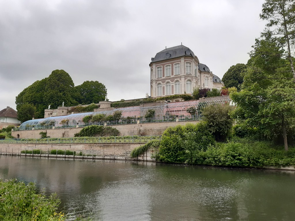
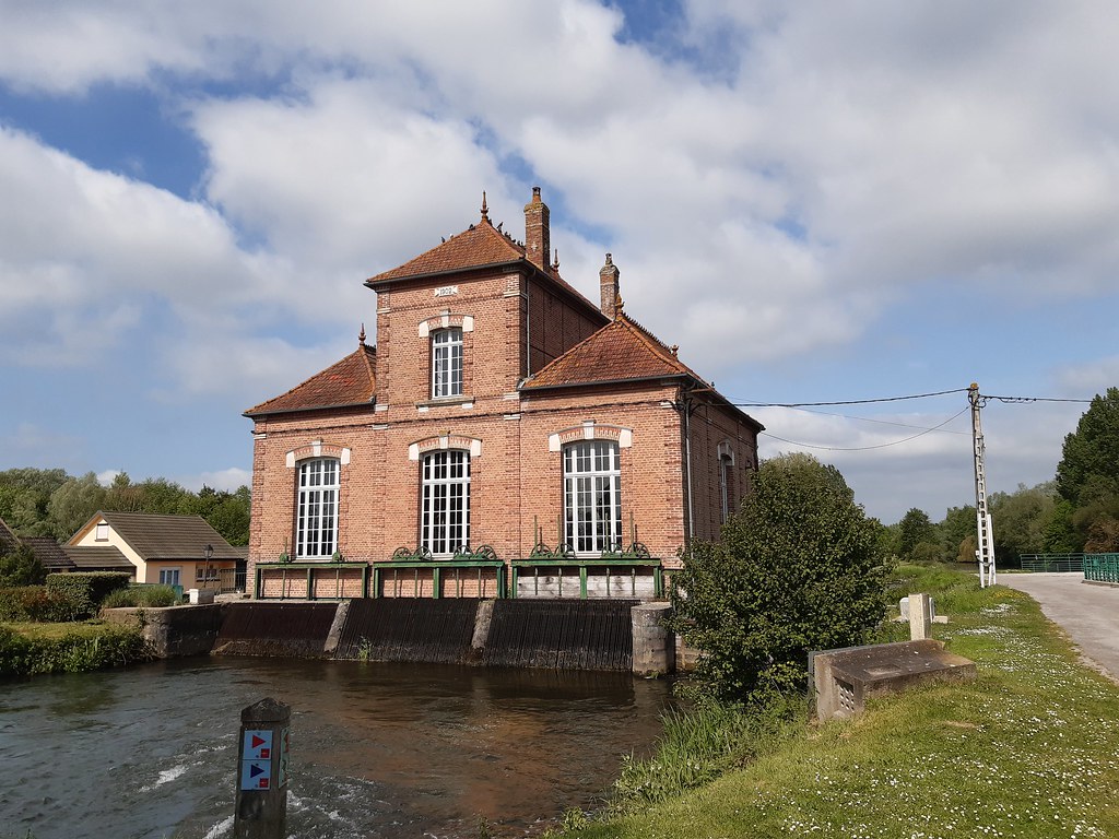
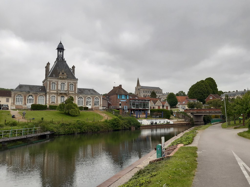
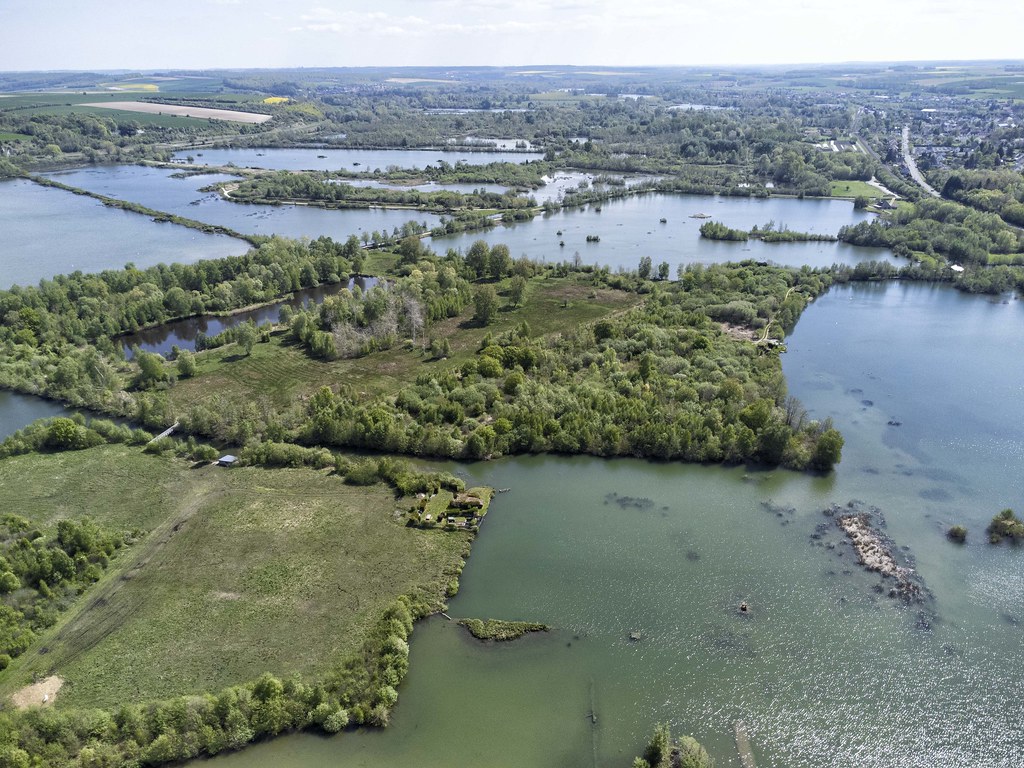
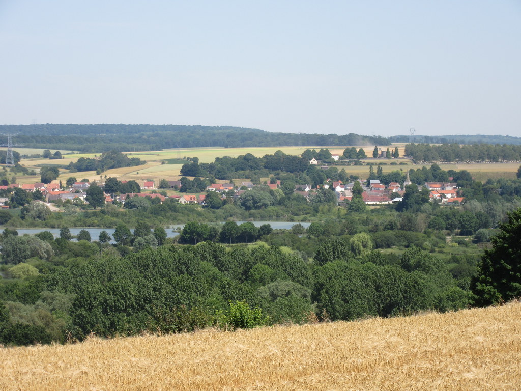
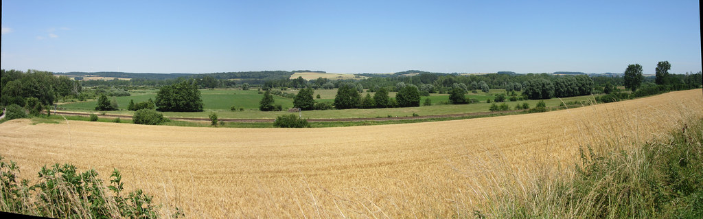
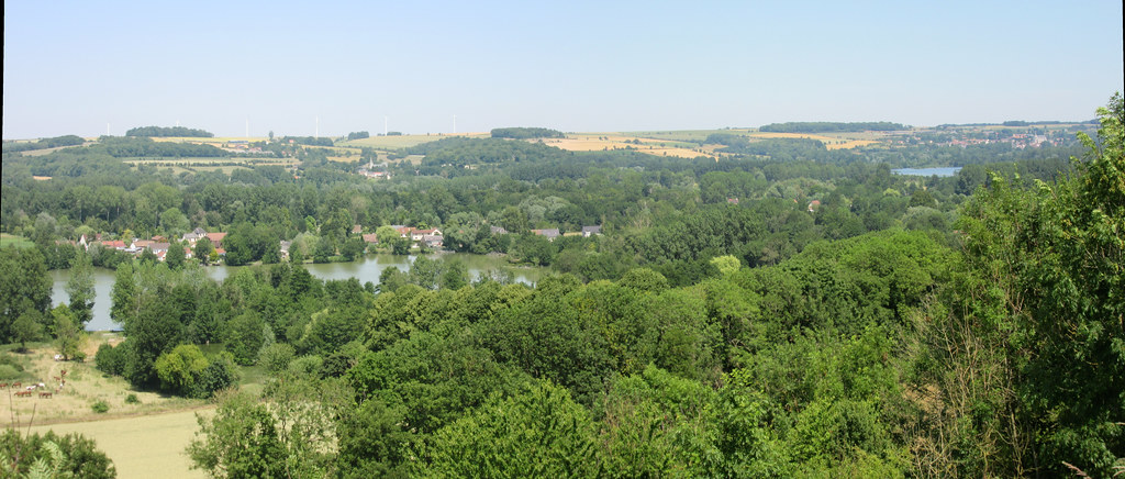
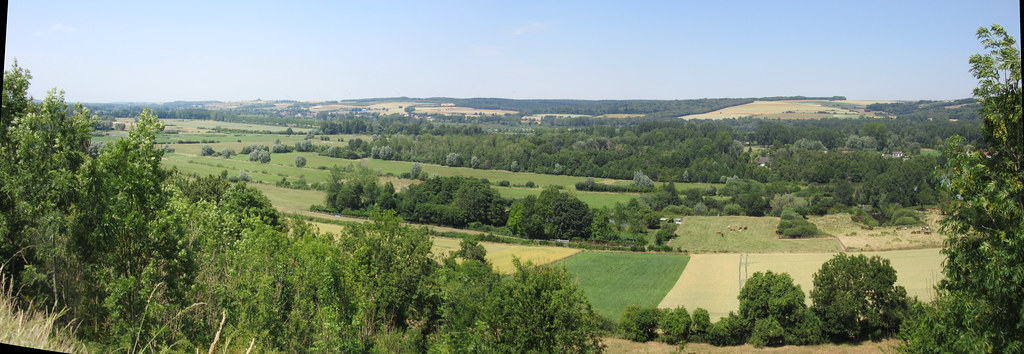
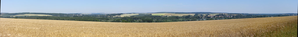
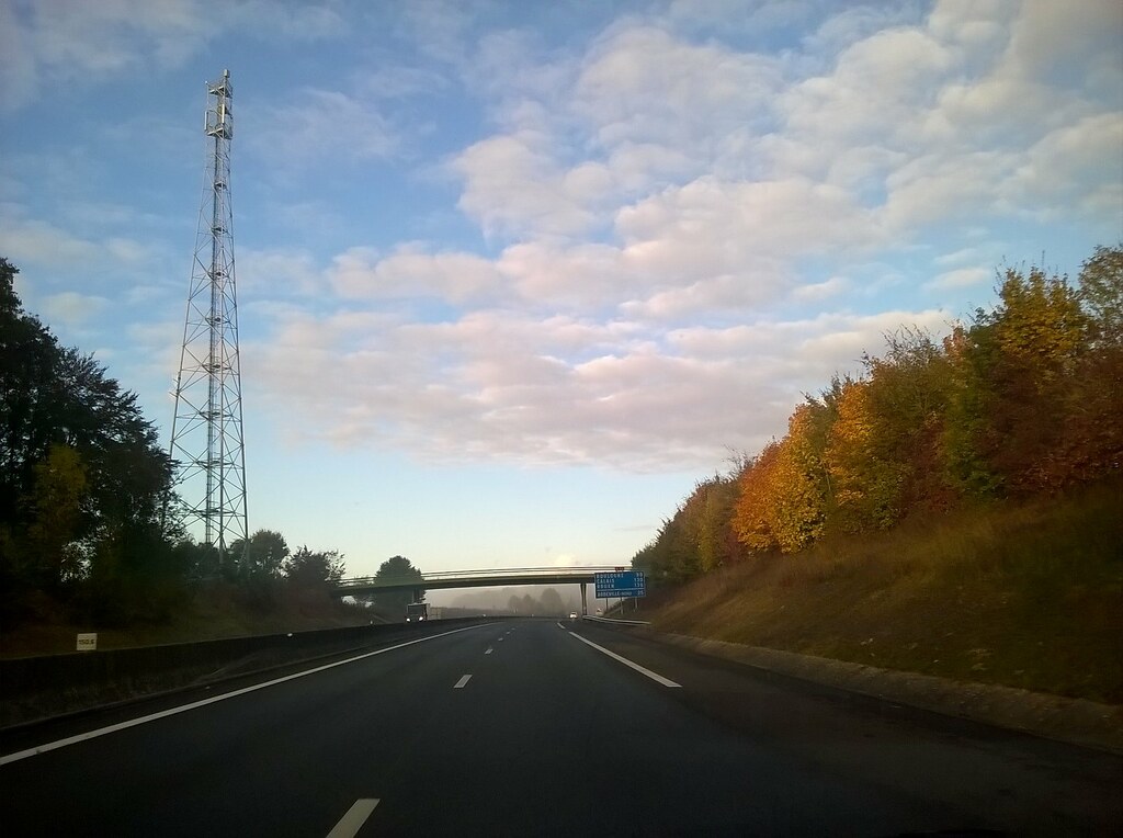
Photos Ergnies
|
See all photos of Ergnies :
Other photos of Ergnies and nearby towns can be found here: photos Ergnies
|
|
Ergnies weather forecast
Find next hours and 7 days weather forecast for Ergnies here : weather Ergnies (with english metrics)
This is the last weather forecast for Ergnies collected by the nearest observation station of Ailly-le-Haut-Clocher.
Week Forecast:
The latest weather data for Ergnies were collected Thursday, 02 July 2026 at 19:06 from the nearest observation station of Ailly-le-Haut-Clocher.
| Thursday, July 2nd |
22°C 14°C
34%
84%
|
Drizzle
Temperature Max: 22°C Temperature Min: 14°C
Precipitation Probability: 34% (Rain)
Percentage of sky occluded by clouds: 84%
Wind speed: 22 km/h East
Humidity: 80%° UV Index: 5
Sunrise: 05:47 Sunset: 22:04 |
|
| | Friday, July 3rd |
24°C 12°C
0%
40%
|
Partly cloudy
Temperature Max: 24°C Temperature Min: 12°C
Precipitation Probability: 0%
Percentage of sky occluded by clouds: 40%
Wind speed: 12 km/h South-East
Humidity: 59%° UV Index: 7
Sunrise: 05:48 Sunset: 22:04 |
|
| | Saturday, July 4th |
24°C 11°C
45%
13%
|
Mostly clear
Temperature Max: 24°C Temperature Min: 11°C
Precipitation Probability: 45%
Percentage of sky occluded by clouds: 13%
Wind speed: 17 km/h East
Humidity: 63%° UV Index: 8
Sunrise: 05:48 Sunset: 22:03 |
|
| | Sunday, July 5th |
25°C 16°C
0%
56%
|
Partly cloudy
Temperature Max: 25°C Temperature Min: 16°C
Precipitation Probability: 0%
Percentage of sky occluded by clouds: 56%
Wind speed: 16 km/h East
Humidity: 64%° UV Index: 6
Sunrise: 05:49 Sunset: 22:03 |
|
|
Attribution: 
|
|
Other maps, hotels and towns in france
Find another town, zip code, department, region, ...
Quick links Ergnies :
Make a link to this page of Ergnies with the following code :
|
|
|
 French Version : http://www.cartesfrance.fr/carte-france-ville/80281_Ergnies.html