|
The village of Étraye is a small village located north east of France. The town of Étraye is located in the department of Meuse of the french region Lorraine. The town of Étraye is located in the township of Damvillers part of the district of Verdun. The area code for Étraye is 55183 (also known as code INSEE), and the Étraye zip code is 55150.
Geography and map of Étraye :
The altitude of the city hall of Étraye is approximately 230 meters. The Étraye surface is 7.99 km ². The latitude and longitude of Étraye are 49.335 degrees North and 5.372 degrees East.
Nearby cities and towns of Étraye are :
Wavrille (55150) at 1.38 km, Réville-aux-Bois (55150) at 1.84 km, Damvillers (55150) at 2.24 km, Écurey-en-Verdunois (55150) at 3.70 km, Moirey-Flabas-Crépion (55150) at 3.80 km, Peuvillers (55150) at 4.36 km, Lissey (55150) at 4.65 km, Chaumont-devant-Damvillers (55150) at 5.00 km.
(The distances to these nearby towns of Étraye are calculated as the crow flies)
Population and housing of Étraye :
The population of Étraye was 55 in 1999, 56 in 2006 and 52 in 2007. The population density of Étraye is 6.51 inhabitants per km². The number of housing of Étraye was 28 in 2007. These homes of Étraye consist of 23 main residences, 2 second or occasional homes and 2 vacant homes. |
|
|
Hotel Étraye
|
|
|
Book now ! Best Price Guaranteed, no booking fees, pay at the hotel with our partner Booking.com, leader in online hotel reservation.
Find all hotels of Étraye : Hotel Étraye
| |
|
Apartment : appartement gite
Featuring accommodation with a terrace, appartement gite is situated in Brandeville. Featuring mountain and garden views, this apartment also has free WiFi. The apartment has 2...
Rate : from 180.00 €
Address : 23 grand rue 55150 Brandeville
Distance Apartment - Étraye : 8.08 km
|
|
|
Guest accommodation : Chambres dhôtes Logette
Set in Consenvoye, 15 km from Verdun-sur-Meuse, Chambres dhôtes Logette features a barbecue, a terrace and views of the river. Every room includes a TV and a private bathroom f...
Price : from 42.32 €
to 51.00 €
Contact : 33 rue du port 55110 Consenvoye
Distance Guest accommodation - Étraye : 8.35 km
|
|
|
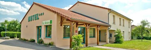
Hotel : Logis le Relais de Vacherauville

Located in Vacherauville in the Lorraine region, Le Relais de Vacherauville is 9 km from Verdun. Free Wi-Fi access throughout the property, a garden and a terrace are some of th...
Prices : from 66.60 €
to 100.00 €
Contact : 6 Rue Du Colonel Driant 55100 Vacherauville
Distance Hotel - Étraye : 12.62 km
|
|

|
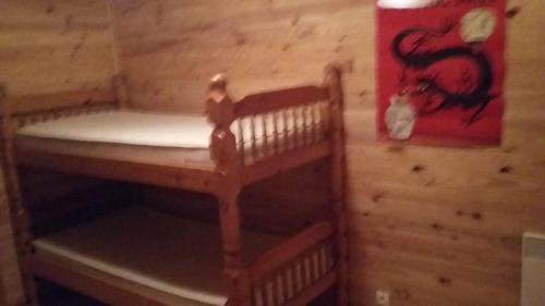
Guest accommodation : Gite Aerien
Gite Aerien is located in Louppy-sur-Loison. Guests staying at this holiday home have access to a fully equipped kitchen and a terrace. Guests can relax in the garden at the pr...
Contact : 55600 Louppy-sur-Loison
Distance Guest accommodation - Étraye : 13.63 km
|
|
|
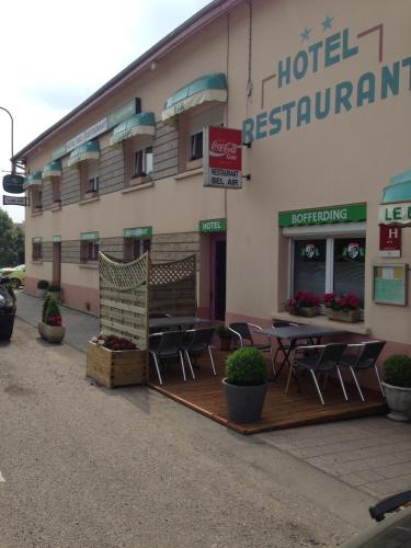
Hotel : Bel Air
The Bel Air is situated at the entrance to the medieval village of Marville, just 12 km from the Belgian border. It provides simple rooms, free Wi-Fi access in public areas and ...
Price : from 61.00 €
to 71.00 €
Address : 7 Route Nationale 55600 Marville
Distance Hotel - Étraye : 14.51 km
|
|
|
Guest accommodation : Auberge de Marville

Set in the city of Marville, this property features free WiFi, free private parking and a traditional French restaurant serving different menu every day. All of the rooms includ...
Prices : from 59.50 €
to 122.00 €
Contact : 17 grand place 55600 Marville
Distance Guest accommodation - Étraye : 14.54 km
|
|

|
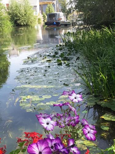
Bed and Breakfast : B&B CHEZ FOUCHS - Chambre d'hôtes
Located in Dun-sur-Meuse, in the medieval fortress of the village, the bed and breakfast Chez FOUCHS features free WiFi access and free private parking. Views of the river, gar...
Rate : from 62.00 €
to 72.00 €
Contact : 5 rue des remparts 55110 Dun-sur-Meuse
Distance Bed and Breakfast - Étraye : 14.64 km
|
|
|
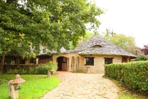
Hotel : Le Village Gaulois
Located in Marre, within 12 km of Verdun and the Verdun battlefields, this hotel offers a garden with mini golf and terrace. It features a restaurant in a hut with slate roof, s...
Price : from 72.00 €
to 260.00 €
Contact : 11 Rue Du Parge 55100 Marre
Distance Hotel - Étraye : 14.67 km
|
|
|
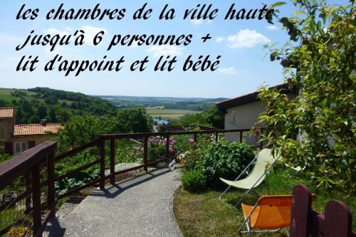
Bed and Breakfast : les chambres de la ville haute
Located in Dun-sur-Meuse, les chambres de la ville haute is an eco-friendly property which offers a garden and terrace. This 3-star bed and breakfast features free WiFi and a sh...
Address : 2 Rue du Pape Etienne 9 55110 Dun-sur-Meuse
Distance Bed and Breakfast - Étraye : 14.69 km
|
|
|
Hotel : Fasthôtel Le Râle Des Genêts
This countryside hotel is located in the middle of a park in Dun Sur Meuse, in the Lorraine region. It offers rooms with free Wi-Fi, TVs and modern bathrooms. Fasthôtel Le Râle...
Rate : from 69.50 €
to 76.50 €
Contact : 6 Allée Des Islettes 55110 Dun-sur-Meuse
Distance Hotel - Étraye : 15.04 km
|
|
Find another hotel near Étraye : Étraye hotels list
|
Map of Étraye
|
|
Map of Étraye :
At right you can find the localization of Étraye on the map of France. Below, this is the satellite map of Étraye. A road map, and maps templates of Étraye are available here : "road map of Étraye". This map show Étraye seen by the satellite of Google Map. To see the streets of Étraye or move on another zone, use the buttons "zoom" and "map" on top of this dynamic map.
Search on the map of Étraye :
To search hotels, housings, tourist information office, administrations or other services, use the Google search integrated to the map on the following page : "map Étraye".
Hotels of Étraye are listed on the map with the following icons: 
The map of Étraye is centred in the following coordinates :
|

|
|
|
|
Print the map of Étraye

Print the map of Étraye : map of Étraye
|
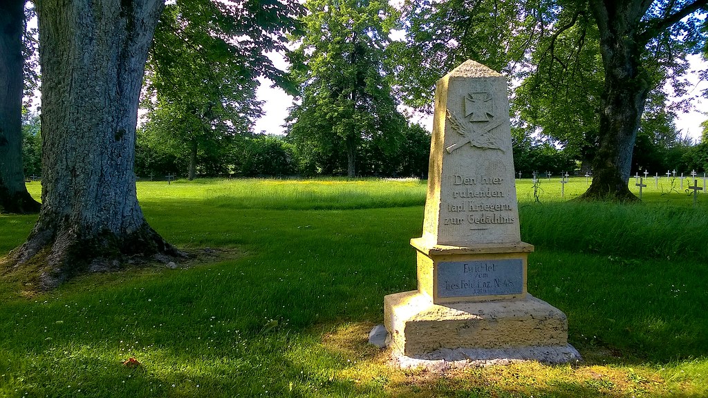
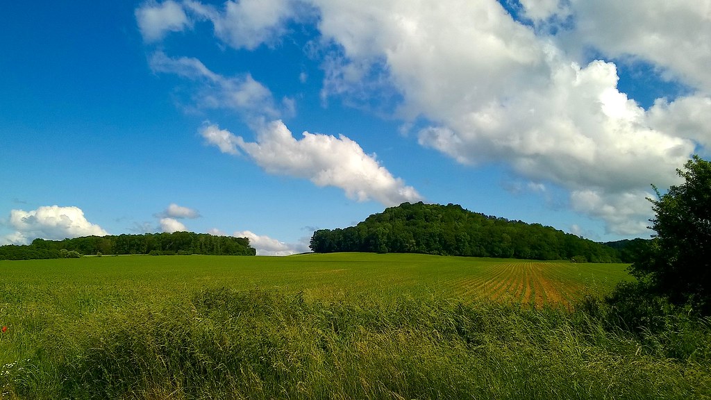
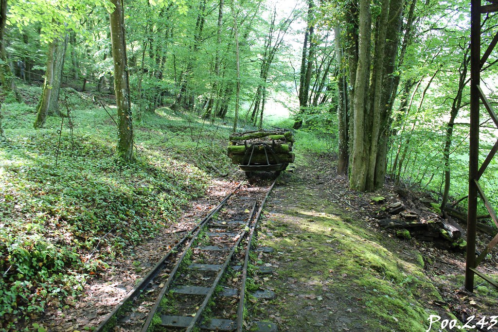
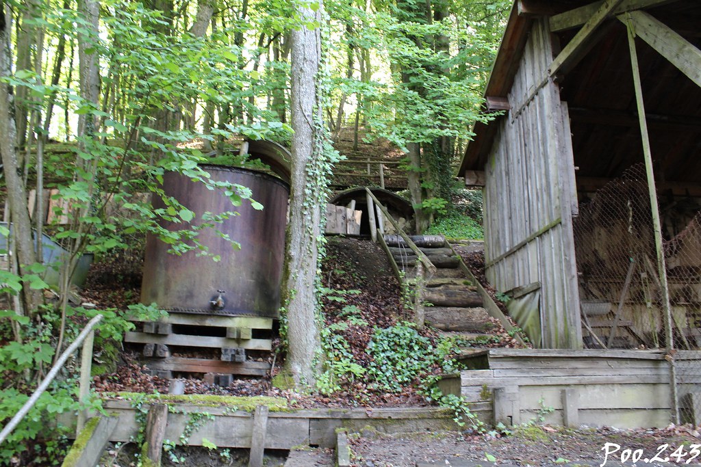
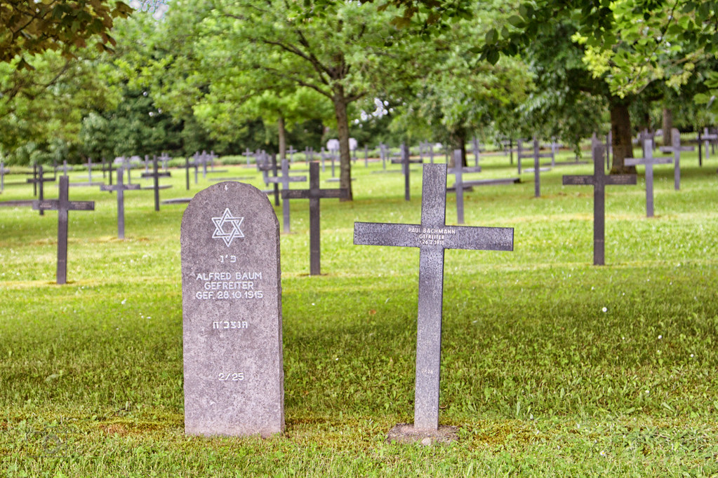
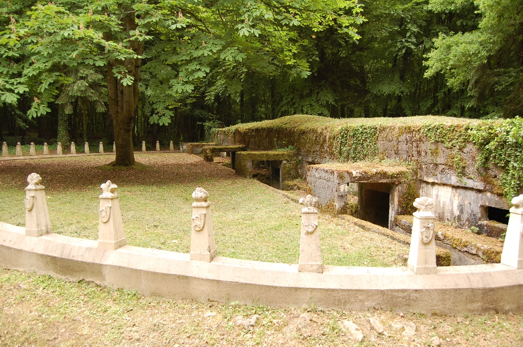
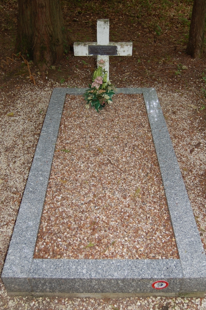
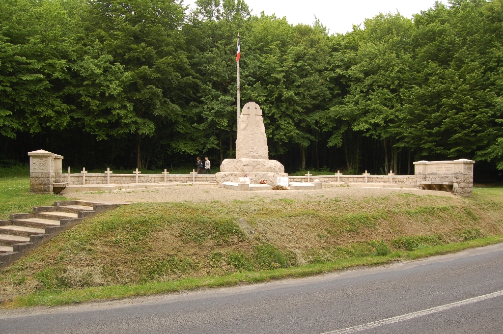
Photos Étraye
|
See all photos of Étraye :
Other photos of Étraye and nearby towns can be found here: photos Étraye
|
|
Étraye weather forecast
Find next hours and 7 days weather forecast for Étraye here : weather Étraye (with english metrics)
This is the last weather forecast for Étraye collected by the nearest observation station of Damvillers.
Week Forecast:
The latest weather data for Étraye were collected Friday, 31 July 2026 at 11:04 from the nearest observation station of Damvillers.
| Friday, July 31st |
28°C 17°C
0%
77%
|
Mostly cloudy
Temperature Max: 28°C Temperature Min: 17°C
Precipitation Probability: 0%
Percentage of sky occluded by clouds: 77%
Wind speed: 10 km/h East
Humidity: 61%° UV Index: 5
Sunrise: 06:08 Sunset: 21:20 |
|
| | Saturday, August 1st |
27°C 16°C
0%
53%
|
Partly cloudy
Temperature Max: 27°C Temperature Min: 16°C
Precipitation Probability: 0%
Percentage of sky occluded by clouds: 53%
Wind speed: 8 km/h South-East
Humidity: 56%° UV Index: 6
Sunrise: 06:10 Sunset: 21:18 |
|
| | Sunday, August 2nd |
30°C 15°C
0%
27%
|
Mostly clear
Temperature Max: 30°C Temperature Min: 15°C
Precipitation Probability: 0%
Percentage of sky occluded by clouds: 27%
Wind speed: 6 km/h West
Humidity: 46%° UV Index: 6
Sunrise: 06:11 Sunset: 21:17 |
|
| | Monday, August 3rd |
32°C 18°C
32%
72%
|
Drizzle
Temperature Max: 32°C Temperature Min: 18°C
Precipitation Probability: 32% (Rain)
Percentage of sky occluded by clouds: 72%
Wind speed: 8 km/h North-West
Humidity: 48%° UV Index: 6
Sunrise: 06:12 Sunset: 21:15 |
|
|
Attribution: 
|
|
Other maps, hotels and towns in france
Find another town, zip code, department, region, ...
Quick links Étraye :
Make a link to this page of Étraye with the following code :
|
|
|
 French Version : http://www.cartesfrance.fr/carte-france-ville/55183_Etraye.html