|
The village of Étrœungt is a small french village located north of France. The town of Étrœungt is located in the department of Nord of the french region Nord-Pas-de-Calais. The town of Étrœungt is located in the township of Avesnes-sur-Helpe-Sud part of the district of Avesnes-sur-Helpe. The area code for Étrœungt is 59218 (also known as code INSEE), and the Étrœungt zip code is 59219.
Geography and map of Étrœungt :
The altitude of the city hall of Étrœungt is approximately 155 meters. The Étrœungt surface is 25.10 km ². The latitude and longitude of Étrœungt are 50.059 degrees North and 3.929 degrees East.
Nearby cities and towns of Étrœungt are :
Larouillies (59219) at 2.02 km, Boulogne-sur-Helpe (59440) at 3.23 km, Floyon (59219) at 3.49 km, Rainsars (59177) at 4.65 km, Haut-Lieu (59440) at 4.93 km, Papleux (02260) at 5.32 km, Rocquigny (02260) at 5.43 km, Fontenelle (02170) at 5.45 km.
(The distances to these nearby towns of Étrœungt are calculated as the crow flies)
Population and housing of Étrœungt :
The population of Étrœungt was 1 396 in 1999, 1 373 in 2006 and 1 368 in 2007. The population density of Étrœungt is 54.50 inhabitants per km². The number of housing of Étrœungt was 611 in 2007. These homes of Étrœungt consist of 544 main residences, 14 second or occasional homes and 53 vacant homes. |
|
|
Hotel Étrœungt
|
|
|
Book now ! Best Price Guaranteed, no booking fees, pay at the hotel with our partner Booking.com, leader in online hotel reservation.
Find all hotels of Étrœungt : Hotel Étrœungt
| |
|
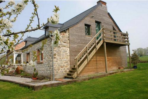
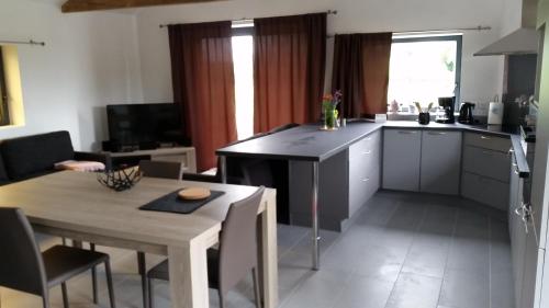
Guest accommodation : Gîtes RN2
Gîtes RN2 is offering accommodation in Larouillies. All rooms boast a kitchenette and a private bathroom. Free WiFi is available. All rooms at the guest house are fitted with a...
Rate : from 55.00 €
Address : 14 route nationale 59219 Larouillies
Distance Guest accommodation - Étrœungt : 2.57 km
|
|
|
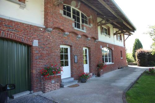
Bed and Breakfast : Lez Orees
Set in a former farmhouse on a spacious garden, Lez Orees is located in Semeries and offers bed and breakfast accommodations. Guests can relax on the large terrace or in the sha...
Price : from 75.00 €
Contact : 2 rue du Calvaire 59440 Sémeries
Distance Bed and Breakfast - Étrœungt : 4.63 km
|
|
|
Guest accommodation : le clos du fourmanoir
Boasting accommodation with a terrace, le clos du fourmanoir is located in Avesnelles. This property offers access to ping-pong and darts. This holiday home is equipped with 3 ...
Contact : 110 chemin des carrieres 59440 Avesnelles
Distance Guest accommodation - Étrœungt : 4.93 km
|
|
|
Bed and Breakfast : La Citadelle d'Hututu
Surrounded by a mature garden with a fish pond, this B&B is located 2 km from Avesnes-sur-Helpe. Guests can relax in the shared living room and play billiards, just 20 km from t...
Contact : 9 route de Cartignies, Haut-Lieu 59440 Avesnes-sur-Helpe
Distance Bed and Breakfast - Étrœungt : 5.85 km
|
|
|
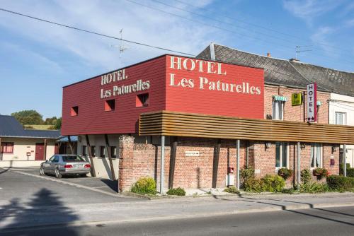
Hotel : Les Paturelles

Les Paturelles is located in the south of department Nord, in the heart of l'Avesnois. It offers en suite guest rooms with cable TV and free Wi-Fi in each. The Logis Les Pature...
Price : from 58.00 €
to 90.00 €
Address : 40 Route D'etroeungt 59440 Avesnelles
Distance Hotel - Étrœungt : 6.15 km
|
|
|
Apartment : Le Gîte Pien

Le Gîte Pien offers self-catering accommodation in Wignehies. Free WiFi and free bikes are provided. The property includes an apartment and a studio with a sofa, a private bath...
Contact : 5 rue du Général Leclerc 59212 Wignehies
Distance Apartment - Étrœungt : 6.80 km
|
|
|
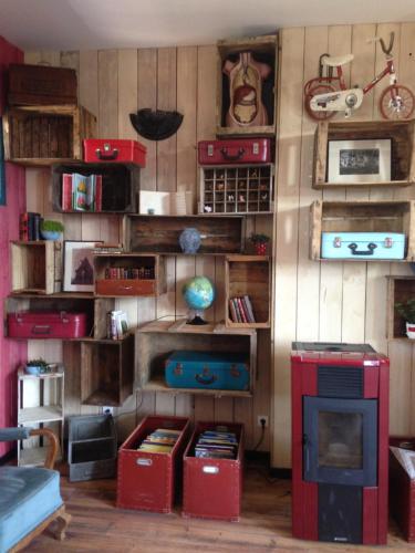
Guest accommodation : L'école est finie !
Set in a former community school, L'école est finie ! offers pet-friendly accommodation in Féron, 46 km from Mons. Guests can enjoy the on-site restaurant. Free private parking ...
Rate : from 59.00 €
to 62.00 €
Contact : 13, rue de Sains 59610 Féron
Distance Guest accommodation - Étrœungt : 6.92 km
|
|
|
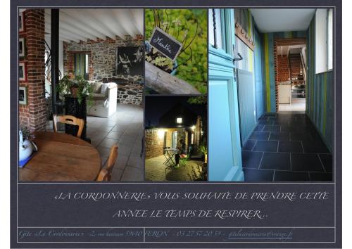
Guest accommodation : Gîte La Cordonnerie
With a garden and free private parking, this property is located in in the heart of the Avesnois Nature Park and 24 km from Avesnes. You can also enjoy the furnished terrace. P...
Contact : 2, rue Heureuse 59610 Féron
Distance Guest accommodation - Étrœungt : 7.03 km
|
|
|
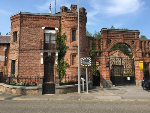
Bed and Breakfast : Carpe-Dem
Located in the Avesnois Regional Park, Carpe-Dem is set in a 19th-century country house, only 15 km from Val Joly Activities Centre. A homemade breakfast is included and you can...
Prices : from 65.00 €
to 89.00 €
Address : 5 place du Général de Gaulle 59177 Sains-du-Nord
Distance Bed and Breakfast - Étrœungt : 7.12 km
|
|
|
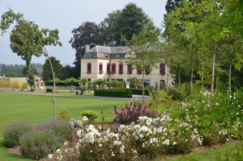
Guest accommodation : Le Domaine des Fagnes
Gîte Le Domaine des Fagnes is located in Sains-du-Nord, 14 km from Avesnois Nature Park and a 20-minute drive from the Belgian border. Set in an 1800s mansion, the property has ...
Rate : from 98.00 €
to 185.00 €
Contact : 52, rue Jules Hiroux 59177 Sains-du-Nord
Distance Guest accommodation - Étrœungt : 7.39 km
|
|
Find another hotel near Étrœungt : Étrœungt hotels list
|
Map of Étrœungt
|
|
Map of Étrœungt :
At right you can find the localization of Étrœungt on the map of France. Below, this is the satellite map of Étrœungt. A road map, and maps templates of Étrœungt are available here : "road map of Étrœungt". This map show Étrœungt seen by the satellite of Google Map. To see the streets of Étrœungt or move on another zone, use the buttons "zoom" and "map" on top of this dynamic map.
Search on the map of Étrœungt :
To search hotels, housings, tourist information office, administrations or other services, use the Google search integrated to the map on the following page : "map Étrœungt".
Hotels of Étrœungt are listed on the map with the following icons: 
The map of Étrœungt is centred in the following coordinates :
|

|
|
|
|
Print the map of Étrœungt

Print the map of Étrœungt : map of Étrœungt
|
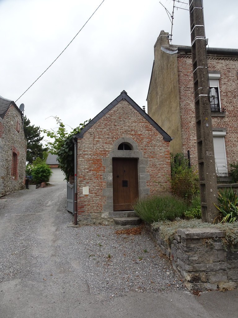
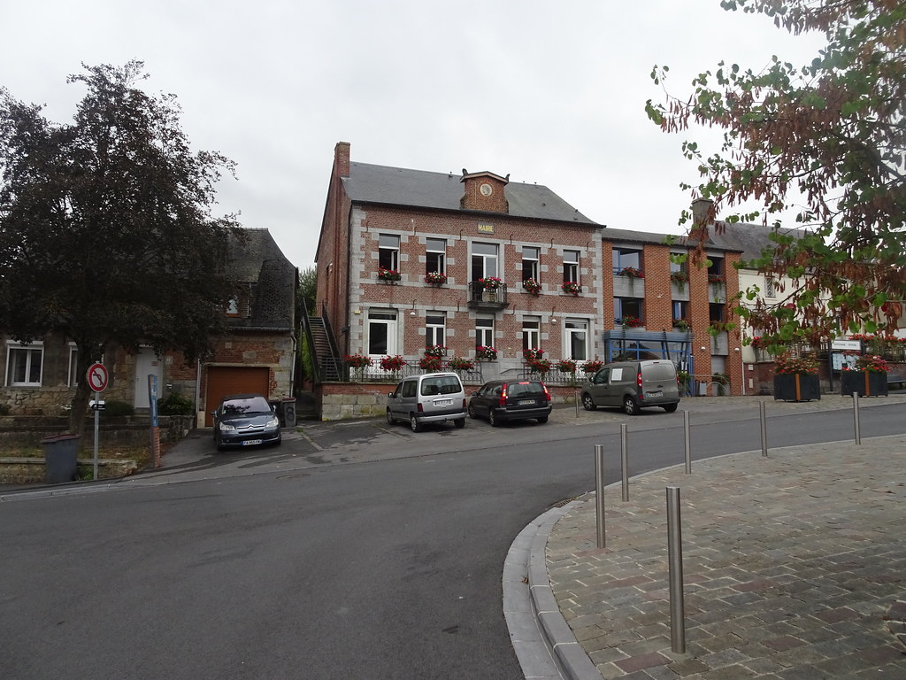
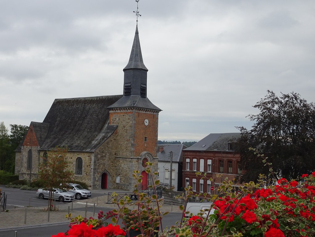
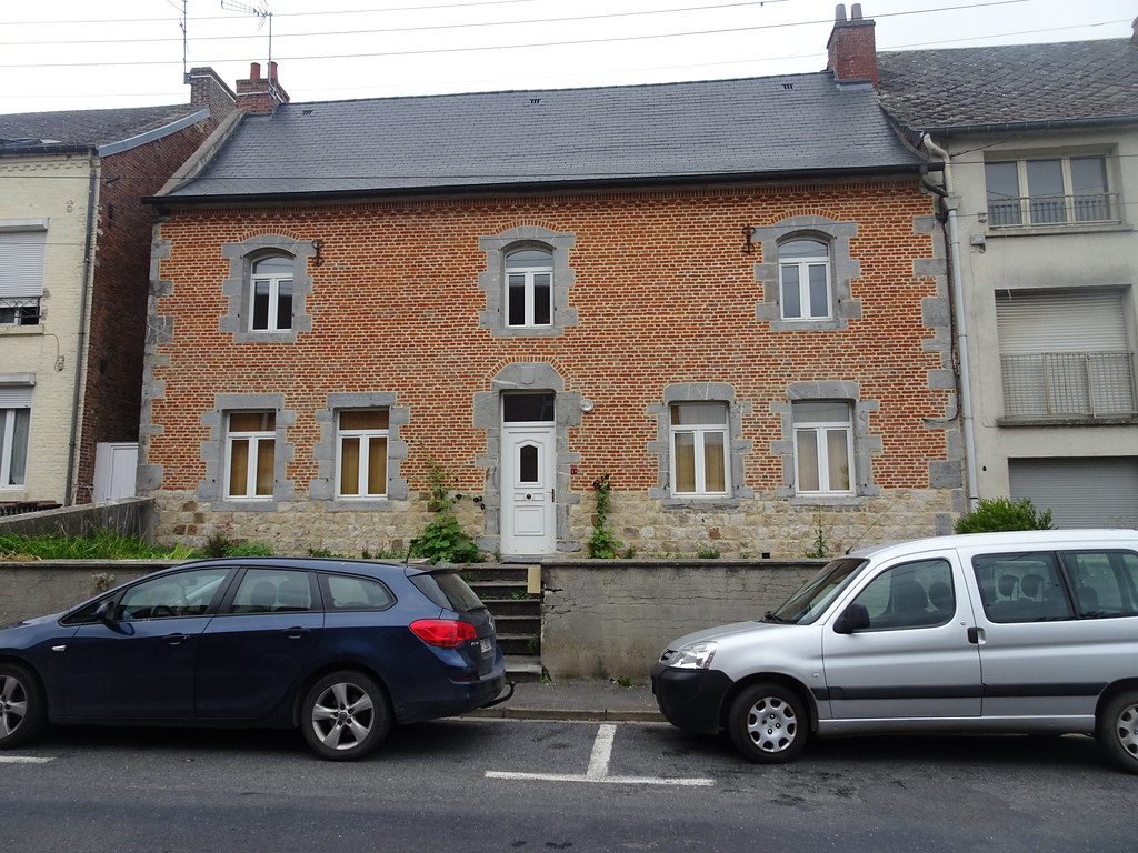
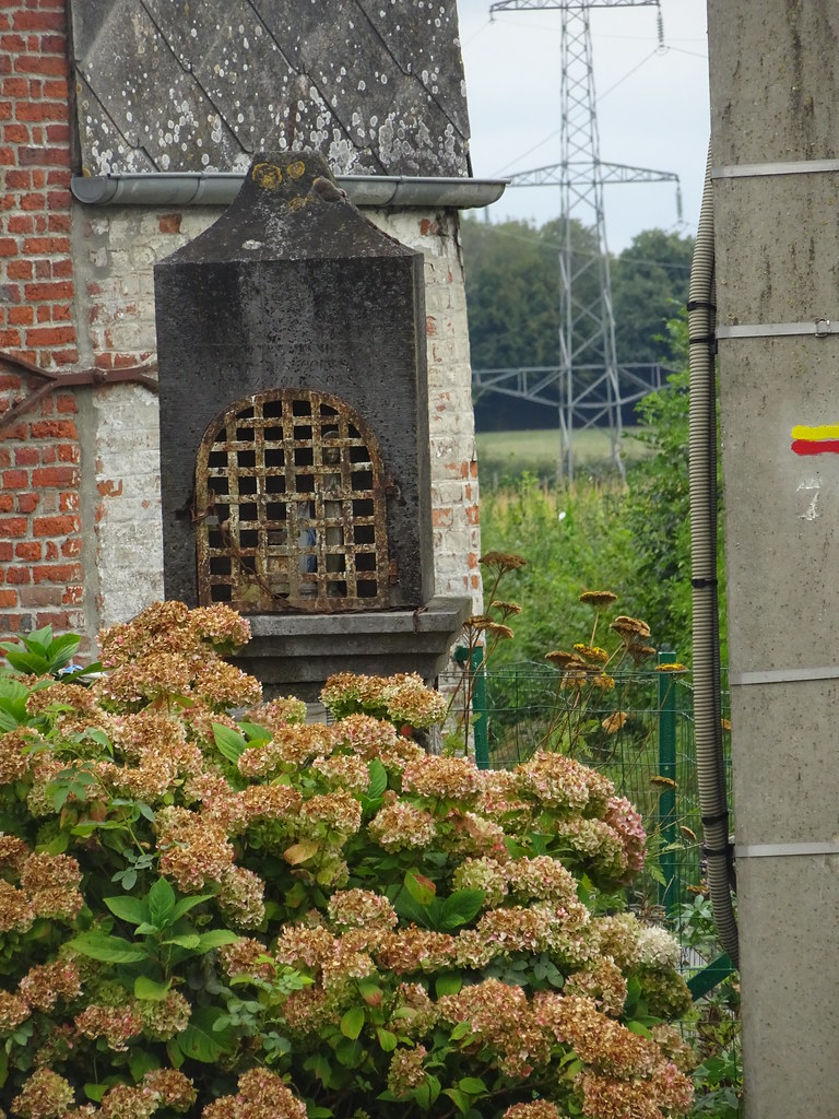
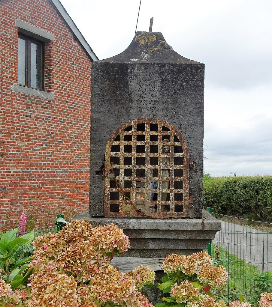
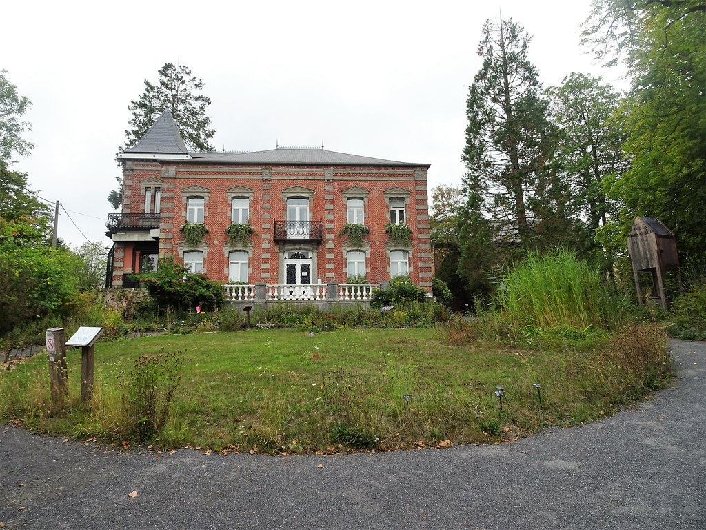
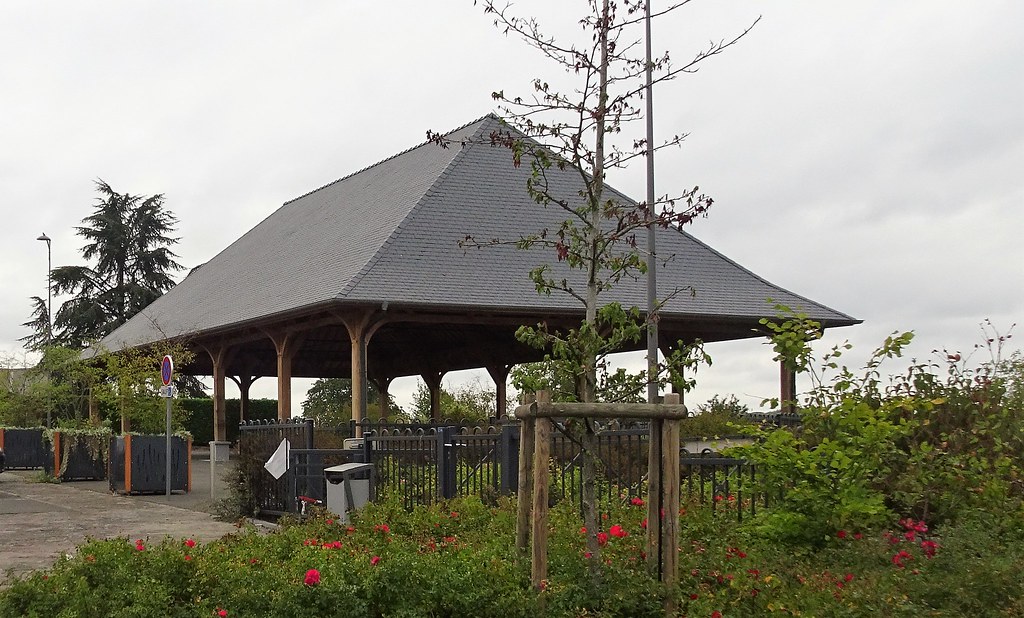
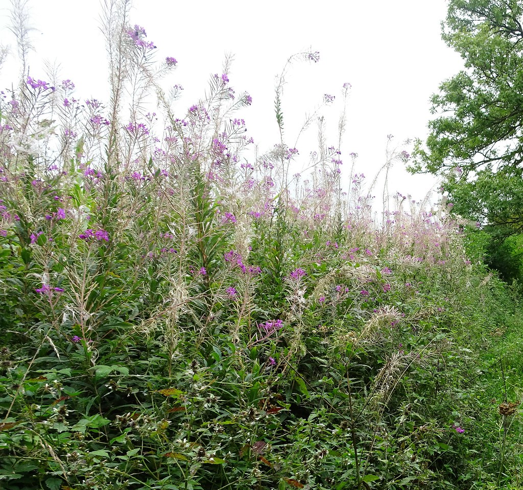
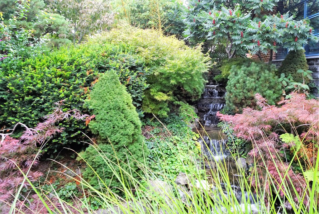
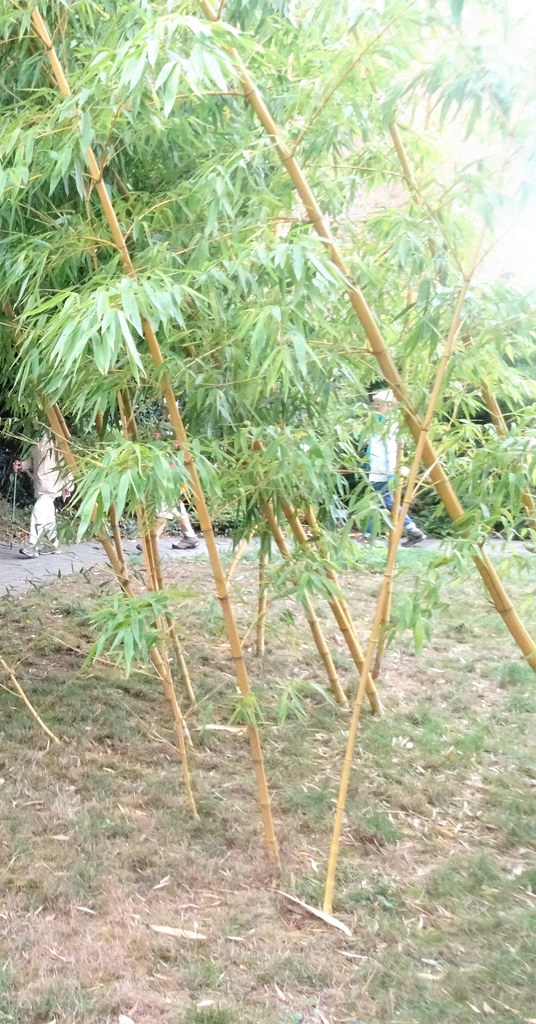
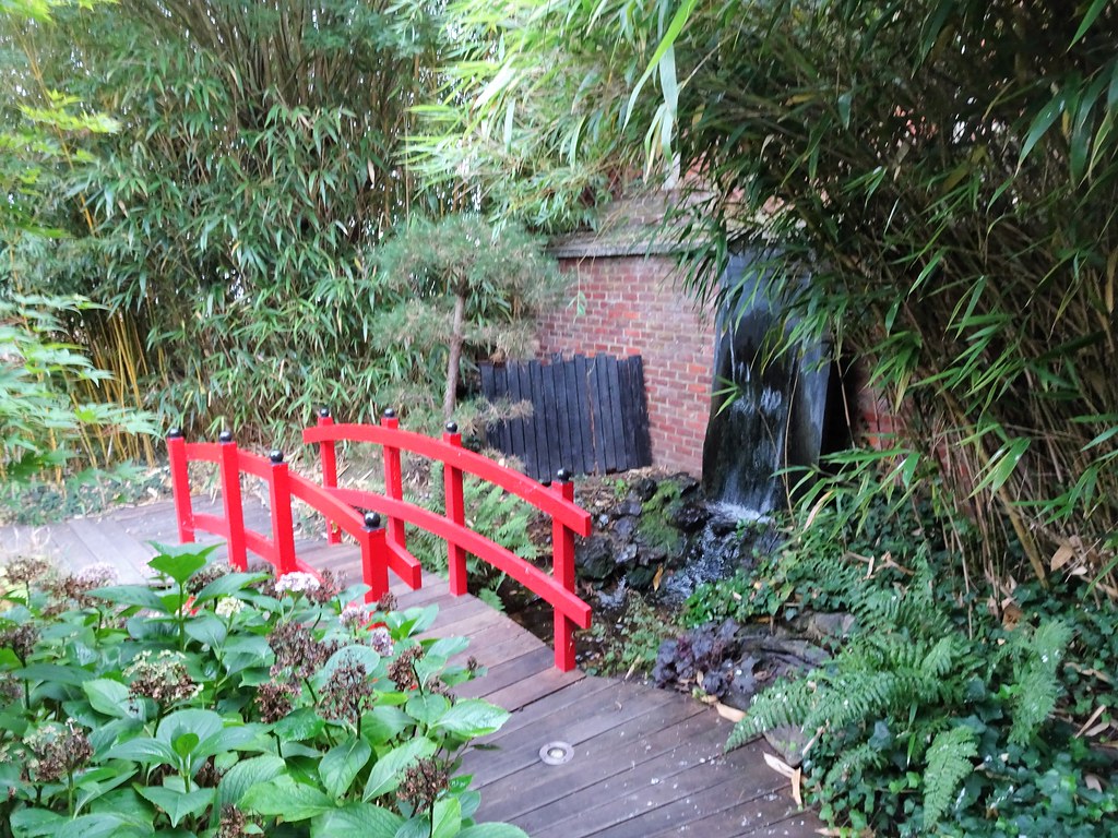
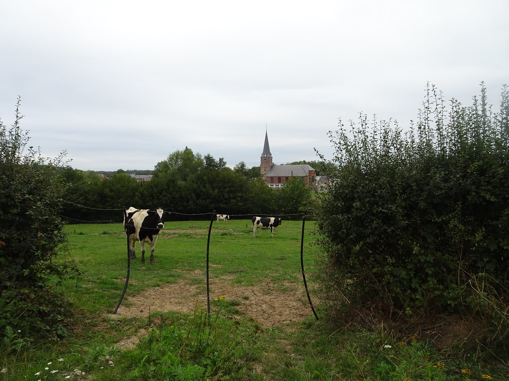
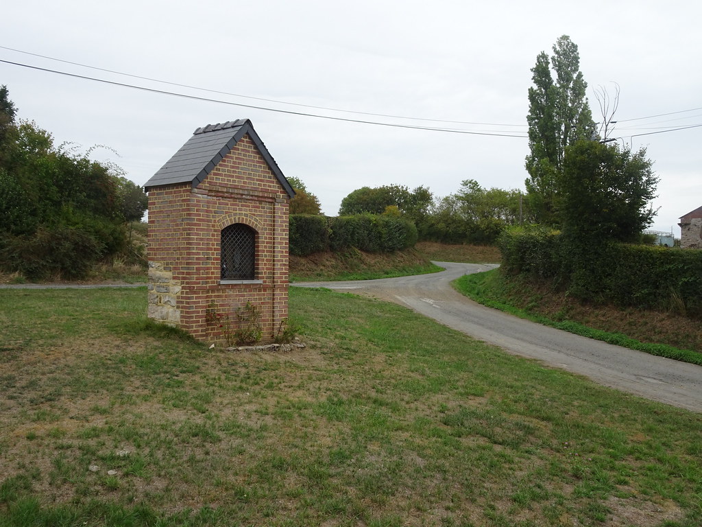
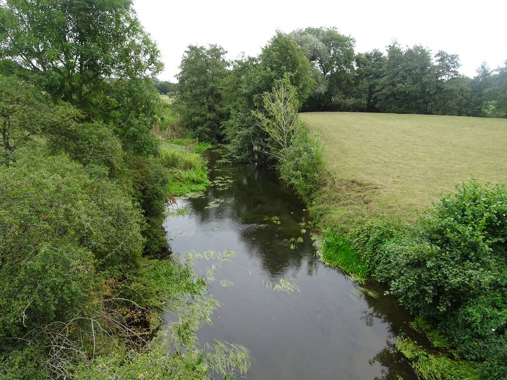
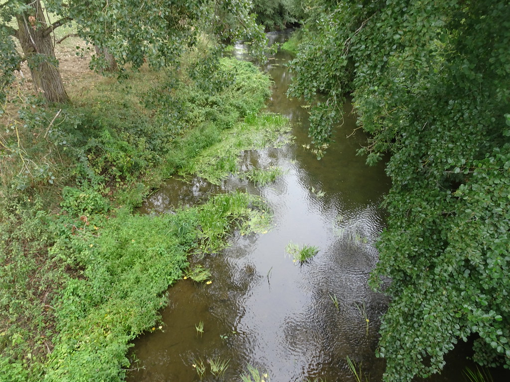
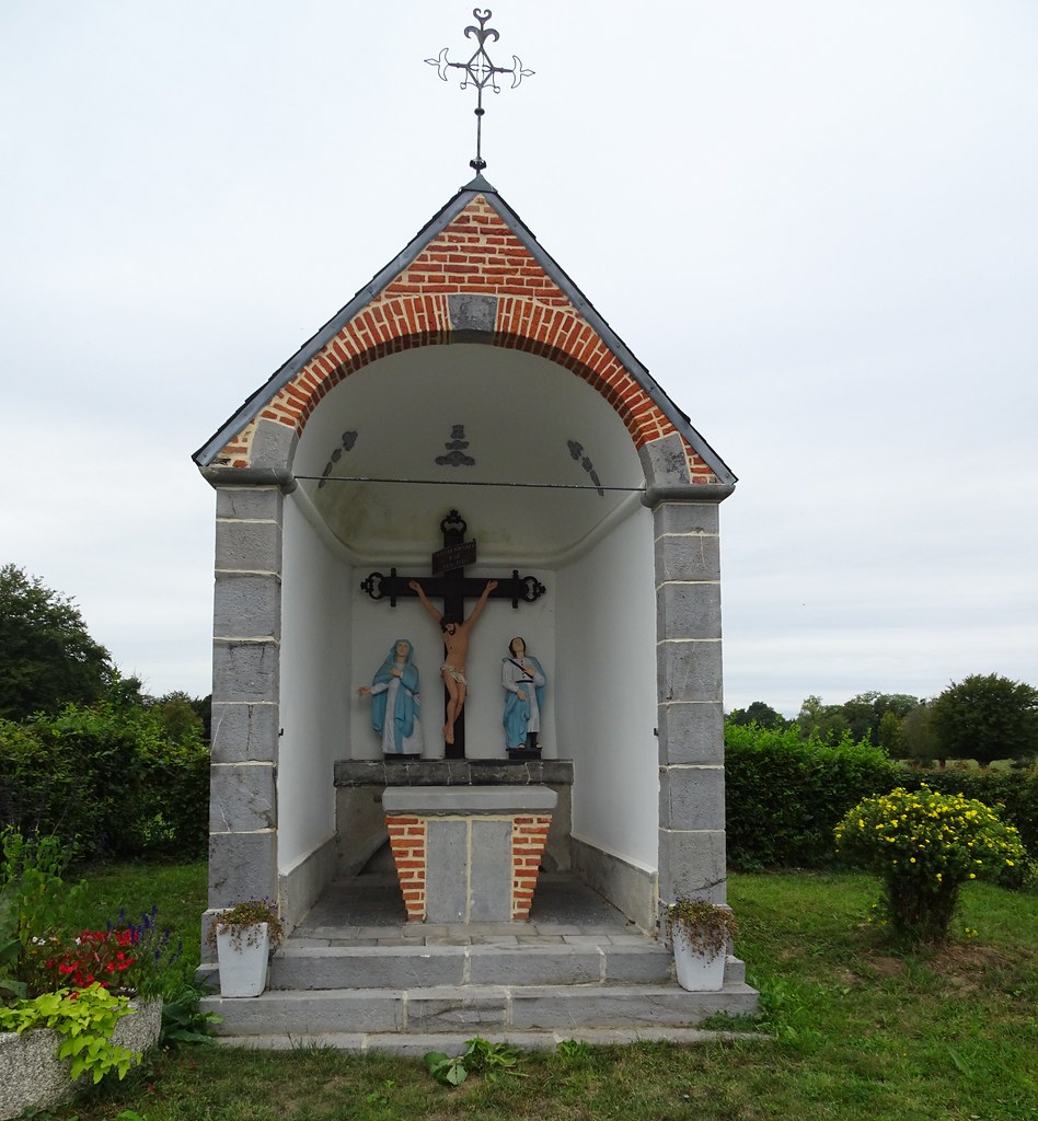
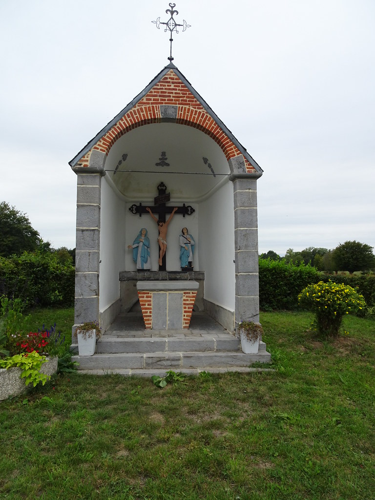
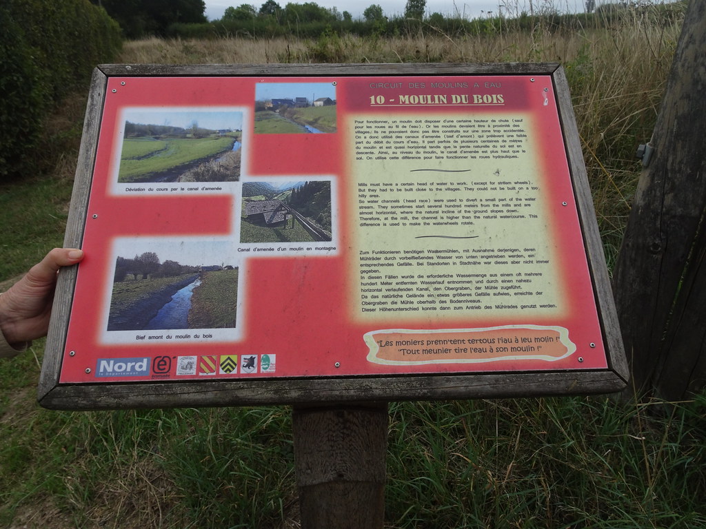
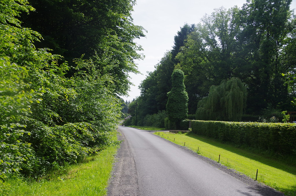
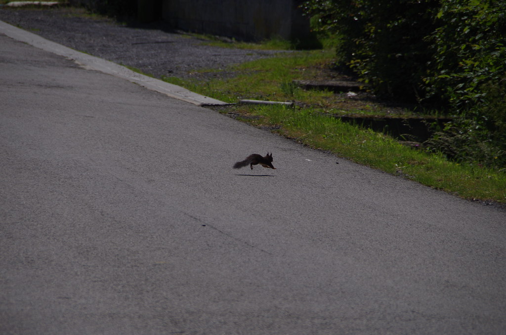
Photos Étrœungt
|
See all photos of Étrœungt :
Other photos of Étrœungt and nearby towns can be found here: photos Étrœungt
|
|
Étrœungt weather forecast
Find next hours and 7 days weather forecast for Étrœungt here : weather Étrœungt (with english metrics)
This is the last weather forecast for Étrœungt collected by the nearest observation station of Avesnes-sur-Helpe.
Week Forecast:
The latest weather data for Étrœungt were collected Thursday, 16 July 2026 at 19:04 from the nearest observation station of Avesnes-sur-Helpe.
| Thursday, July 16th |
29°C 17°C
13%
48%
|
Partly cloudy
Temperature Max: 29°C Temperature Min: 17°C
Precipitation Probability: 13% (Rain)
Percentage of sky occluded by clouds: 48%
Wind speed: 11 km/h Sout-East
Humidity: 47%° UV Index: 6
Sunrise: 05:52 Sunset: 21:47 |
|
| | Friday, July 17th |
26°C 17°C
59%
70%
|
Drizzle
Temperature Max: 26°C Temperature Min: 17°C
Precipitation Probability: 59% (Rain)
Percentage of sky occluded by clouds: 70%
Wind speed: 12 km/h South
Humidity: 59%° UV Index: 5
Sunrise: 05:53 Sunset: 21:46 |
|
| | Saturday, July 18th |
24°C 14°C
27%
42%
|
Partly cloudy
Temperature Max: 24°C Temperature Min: 14°C
Precipitation Probability: 27% (Rain)
Percentage of sky occluded by clouds: 42%
Wind speed: 15 km/h South-East
Humidity: 57%° UV Index: 6
Sunrise: 05:54 Sunset: 21:45 |
|
| | Sunday, July 19th |
22°C 11°C
0%
47%
|
Partly cloudy
Temperature Max: 22°C Temperature Min: 11°C
Precipitation Probability: 0%
Percentage of sky occluded by clouds: 47%
Wind speed: 19 km/h South
Humidity: 52%° UV Index: 5
Sunrise: 05:56 Sunset: 21:44 |
|
|
Attribution: 
|
|
Other maps, hotels and towns in france
Find another town, zip code, department, region, ...
Quick links Étrœungt :
Make a link to this page of Étrœungt with the following code :
|
|
|
 French Version : http://www.cartesfrance.fr/carte-france-ville/59218_Etroeungt.html