|
|
|
|
|
|
Famars pictures
|
|
|
|
Photos of the city of Famars
|
These photos taken near the city of Famars can be shown in full screen clicking on the thumbnails. Photos are copyrighted by their owners.
| | |

IMG_3407
|

IMG_20240713_213013
|
| |

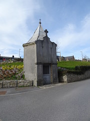
La stèle Stablinski à l-entrée de la trouée d-Arenberg
|

Aremberg la mare à Goriaux (2)
|
| |

Raismes et Wallers - Mare à Goriaux en 2024 (1)
|

Raismes et Wallers - Mare à Goriaux en 2024 (2)
|
| |

Raismes et Wallers - Mare à Goriaux en 2024 (3)
|

Terril n° 171, Mare à Goriaux en 2024
|
| |

Wallers - Fosse Arenberg, les trois chevalements 2024
|

Raismes et Wallers - Mare à Goriaux en 2024 (5)
|
| |

Sign exiting Valenciennes
|
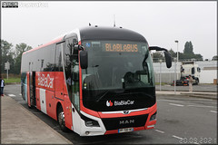
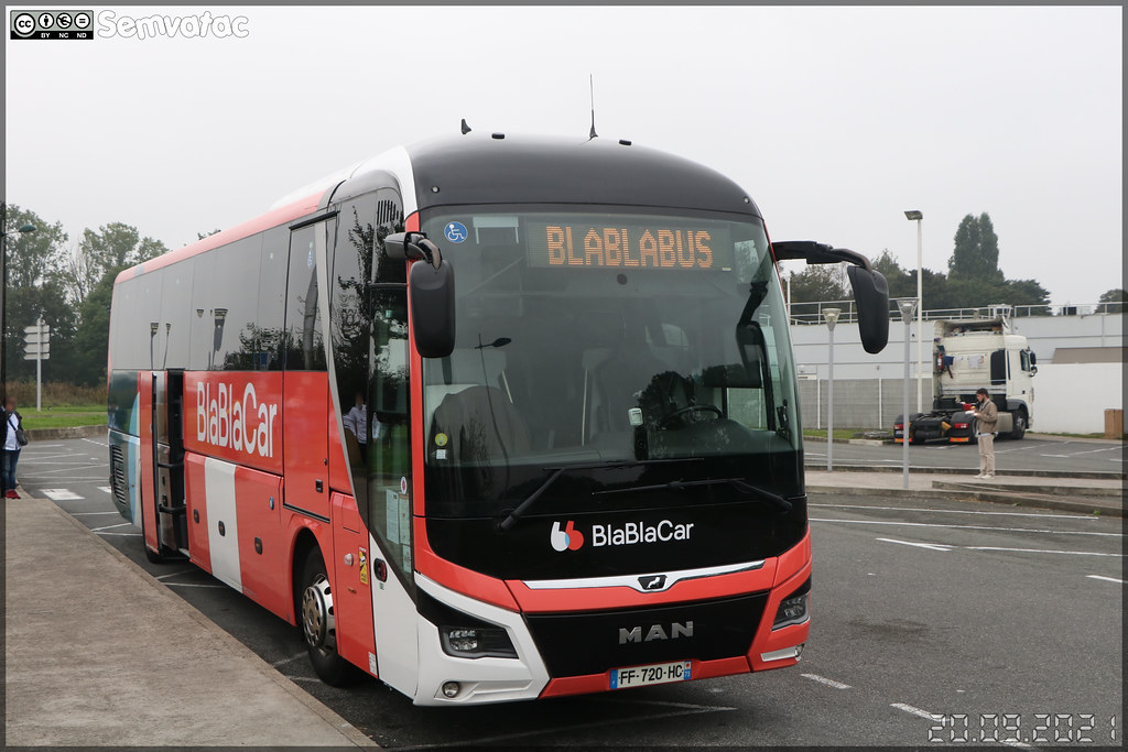
Man Lion’s Coach – Standing Euro Tours Paris / Blablacar
|
| |

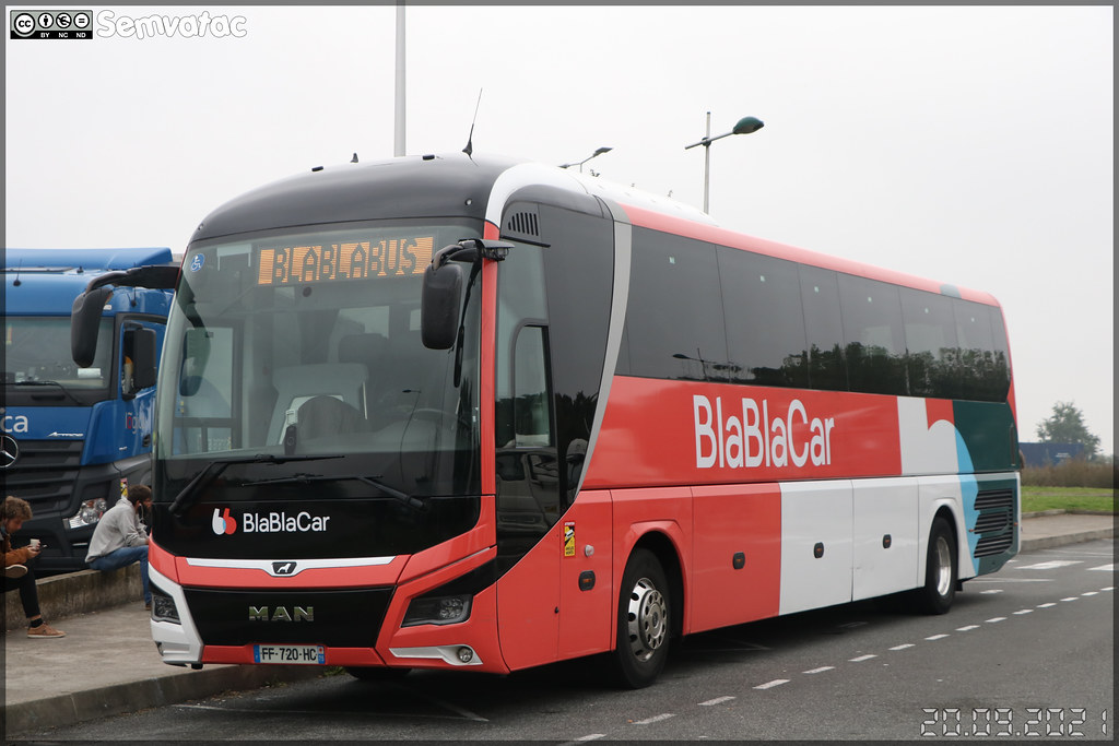
Man Lion’s Coach – Standing Euro Tours Paris / Blablacar
|

Sign at EU Agency for Railways
|
| |

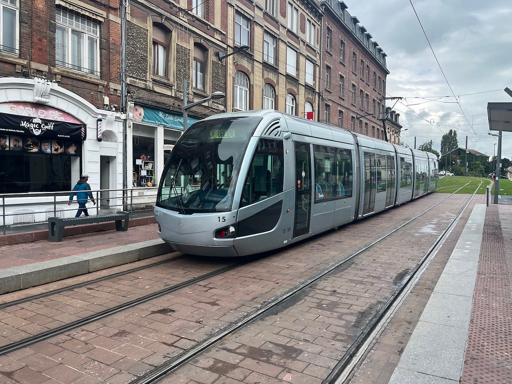
Tram at Valenciennes
|

Must
|
| |
Wargnies-le-Grand chapelle Saint Roch
|
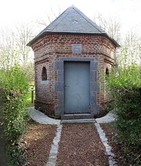
Wargnies-le-Grand chapelle Saint Roch
|
| |
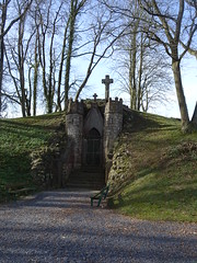
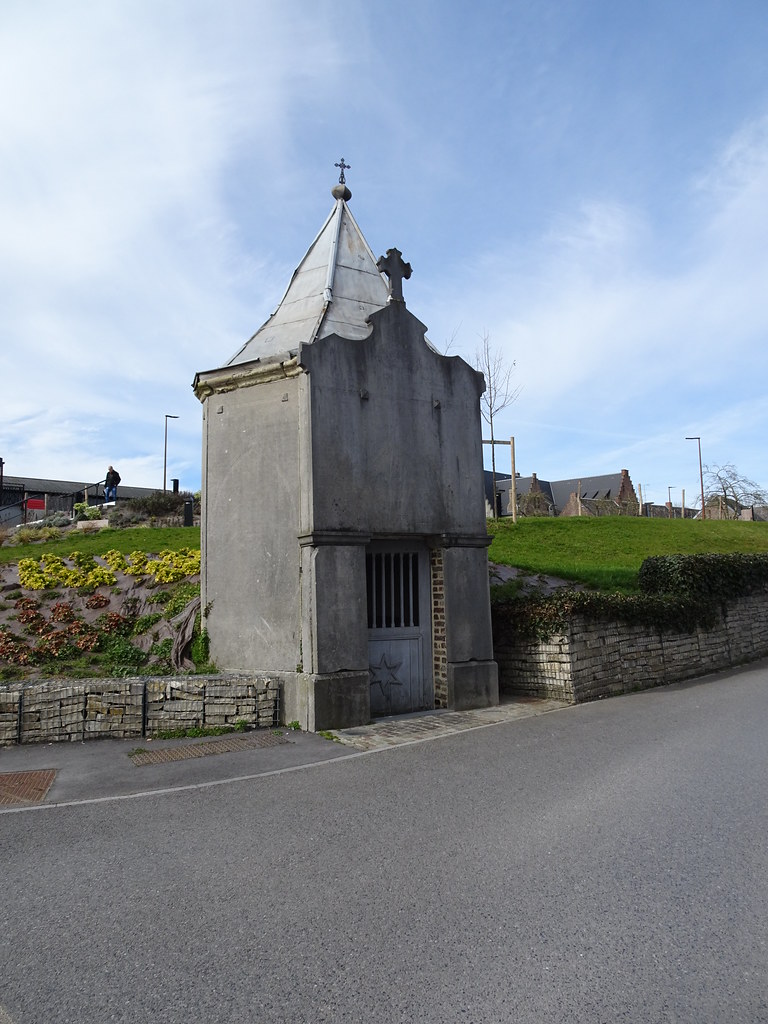
Mausolée du Philanthrope (Wargnies-le-Grand)
|
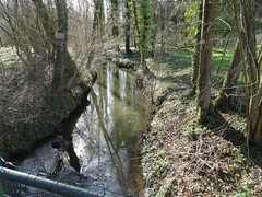
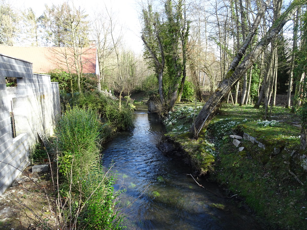
L-Aunelle un affluent en rive gauche de l-Hogneau,
|
| |

L-Aunelle un affluent en rive gauche de l-Hogneau,
|

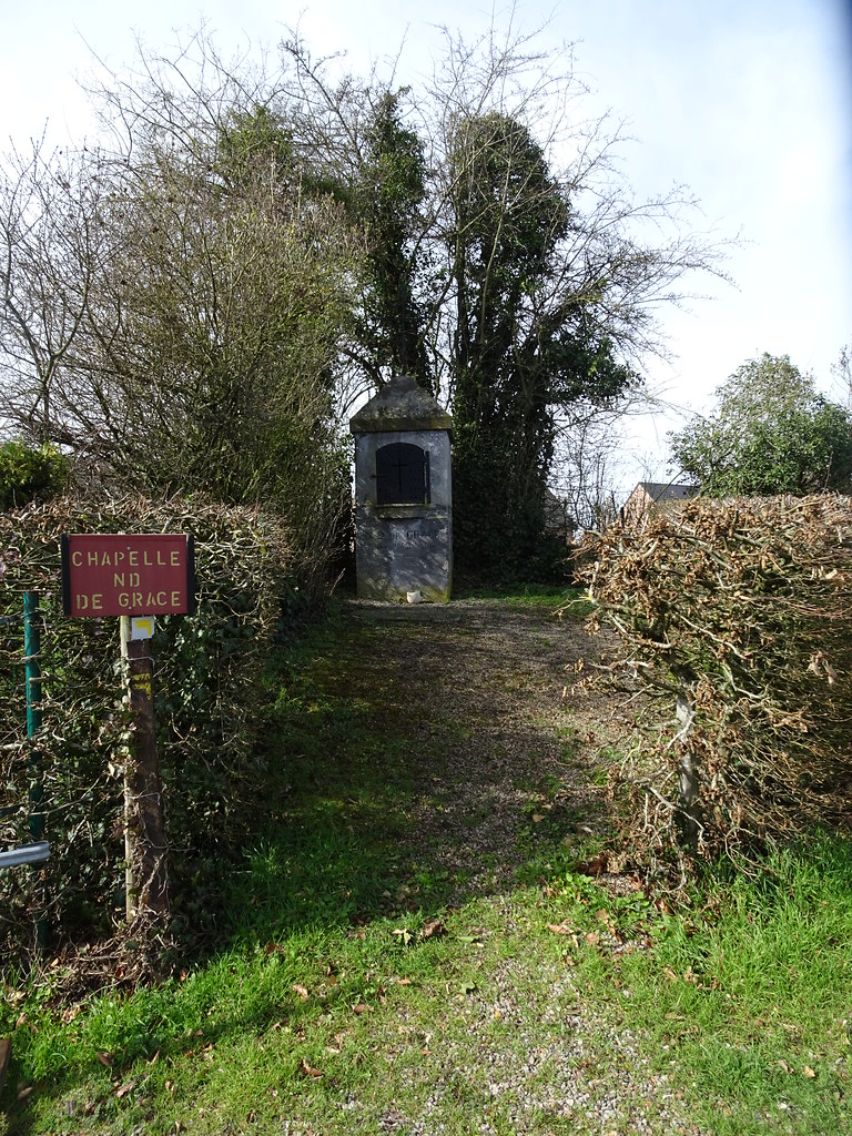
Jenlain- Chapelle N.D. de Grace
|
| |
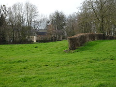
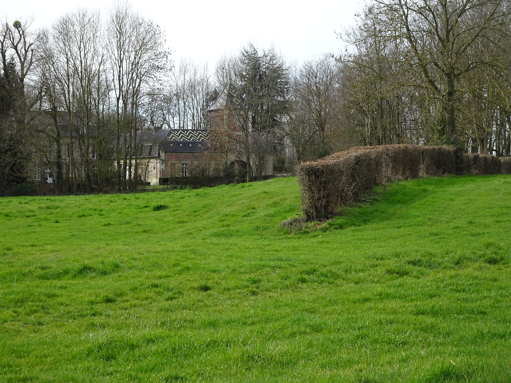
Jenlain.- Château 20 route Nationale
|
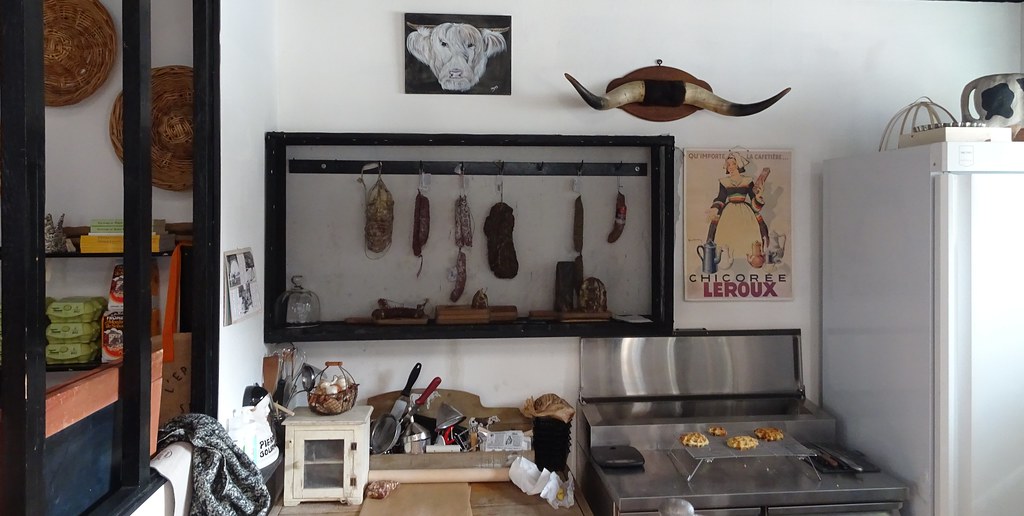
Sebourg.- L-épicerie bar
|
| |
Sebourg Chapelle Notre-Dame de Bonsecours au centre du village.
|
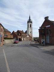
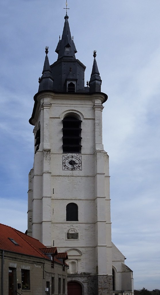
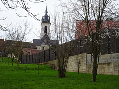
L-église Saint- Martin de Sebourg, aussi appelée couramment église Saint-Druon,
|
| |
L-église Saint- Martin de Sebourg, aussi appelée couramment église Saint-Druon,
|
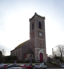
Église Saint-Martin de Jenlain
|
| |
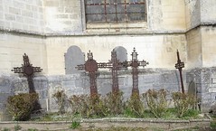
L-église Saint- Martin de Sebourg, aussi appelée couramment église Saint-Druon,
|

L-église Saint- Martin de Sebourg, aussi appelée couramment église Saint-Druon,
|
|
Old photos of the city of Famars
|
These photos taken near the city of Famars can be shown in full screen clicking on the thumbnails. Photos are copyrighted by their owners.
|
|
Other maps, hotels and towns in france
Find another town, zip code, department, region, ...
Quick links Famars :
Back to the menus Map of France :
Make a link to this page of Famars with the following code :
|
|
Map of France | Regions | Departments | Cities | Partners | Terms | Contact
|