|
The village of Flée is a small village located north west of France. The town of Flée is located in the department of Sarthe of the french region Pays de la Loire. The town of Flée is located in the township of Château-du-Loir part of the district of La Flèche. The area code for Flée is 72134 (also known as code INSEE), and the Flée zip code is 72500.
Geography and map of Flée :
The altitude of the city hall of Flée is approximately 72 meters. The Flée surface is 17.54 km ². The latitude and longitude of Flée are 47.733 degrees North and 0.454 degrees East.
Nearby cities and towns of Flée are :
Thoiré-sur-Dinan (72500) at 2.29 km, Vouvray-sur-Loir (72500) at 4.07 km, Chahaignes (72340) at 4.67 km, Beaumont-Pied-de-Bœuf (72500) at 4.84 km, Luceau (72500) at 4.89 km, Château-du-Loir (72500) at 5.00 km, Marçon (72340) at 5.12 km, Jupilles (72500) at 7.18 km.
(The distances to these nearby towns of Flée are calculated as the crow flies)
Population and housing of Flée :
The population of Flée was 548 in 1999, 565 in 2006 and 568 in 2007. The population density of Flée is 32.38 inhabitants per km². The number of housing of Flée was 326 in 2007. These homes of Flée consist of 227 main residences, 56 second or occasional homes and 43 vacant homes. |
|
|
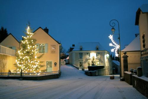
Hotel Flée
|
|
|
Book now ! Best Price Guaranteed, no booking fees, pay at the hotel with our partner Booking.com, leader in online hotel reservation.
Find all hotels of Flée : Hotel Flée
| |
|
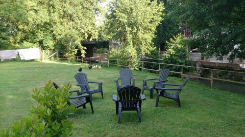
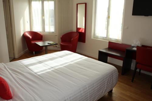
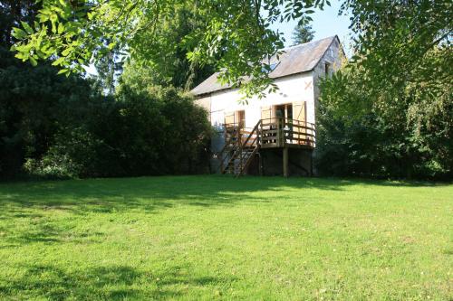
Bed and Breakfast : Chambres d'hotes du Port Gautier
Located 1.3 km from the village of Vouvray-sur-Loir and 1 km from Varennes Lake, this B&B offers rooms with free Wi-Fi internet access. Marçon is a 5-minute drive away and Châte...
Rate : from 45.00 €
to 85.00 €
Address : La Gare du Port Gautier 72500 Vouvray-sur-Loir
Distance Bed and Breakfast - Flée : 3.36 km
|
|
|
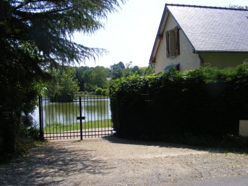
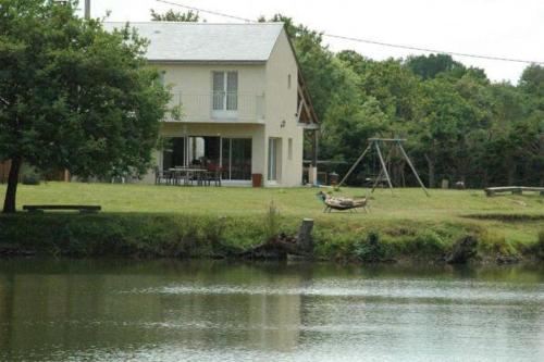
Guest accommodation : Le Moulin Volarie
Situated in Luceau, Le Moulin Volarie features accommodation with an outdoor pool, barbecue facilities and a garden. Free WiFi is available. The units come with a kitchen featu...
Contact : La Volarie D73B 72500 Luceau
Distance Guest accommodation - Flée : 3.70 km
|
|
|
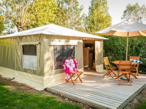
Guest accommodation : Camping Le Lac des Varennes

Located 800 metres from Marçon, Camping Le Lac des Varennes is set on the banks of a 50-hectare lake with a private beach area. It provides independent mobile homes and tents, a...
Contact : Route Port Gautier 72340 Marçon
Distance Guest accommodation - Flée : 4.14 km
|
|
|
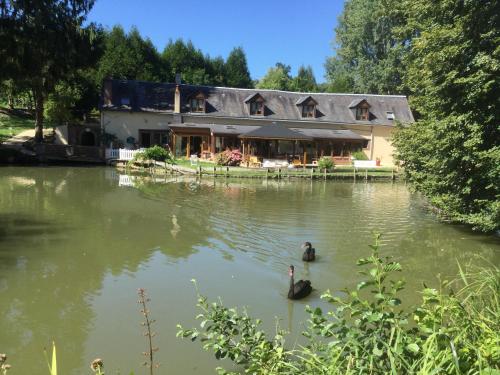
Bed and Breakfast : Le Moulin Calme
Offering views of the lake, Le Moulin Calme is located in Luceau and offers bed and breakfast accommodations. Guests can relax by the outdoor swimming pool from May until Octobe...
Rate : from 85.00 €
to 115.00 €
Contact : Lieu dit Gascheau 72500 Luceau
Distance Bed and Breakfast - Flée : 4.76 km
|
|
|
Hotel : Auberge Du Cheval Blanc
This hotel is on the edge of the Bercé Forest, located 37 km from Le Mans and 44 km from Tours. Its restaurant serves breakfast, lunch and dinner and it has a heated swimming po...
Price : from 80.00 €
to 92.00 €
Address : 1 Rue Beau Soleil 72500 Beaumont-Pied-de-Boeuf
Distance Hotel - Flée : 4.86 km
|
|
|
Le Grand Hotel features free WiFi and views of garden in Château-du-Loir. This 3-star hotel has air-conditioned rooms with a private bathroom. The accommodation offers a shared ...
Prices : from 65.00 €
to 95.00 €
Contact : 59 rue aristide briand 72500 Château-du-Loir
Distance Hotel - Flée : 5.00 km
|
|
|
Apartment : Lake House France
Located in Beaumont-Pied-de-Boeuf, this property offers apartments in a private lakeside setting. Forêt de Bercé is less than a 5-minute drive away. Free WiFi access is availabl...
Rate : from 99.00 €
to 148.50 €
Contact : L'Etang de la Planche 72500 Beaumont-Pied-de-Boeuf
Distance Apartment - Flée : 5.14 km
|
|
|
Guest accommodation : Maison Chauvin
Featuring free WiFi, a barbecue and a sun terrace, Maison Chauvin offers accommodation in Château-du-Loir, 39 km from Tours. Free private parking is available on site. Every ro...
Price : from 180.00 €
Contact : 27 bis Avenue de Tours 72500 Château-du-Loir
Distance Guest accommodation - Flée : 5.24 km
|
|
|
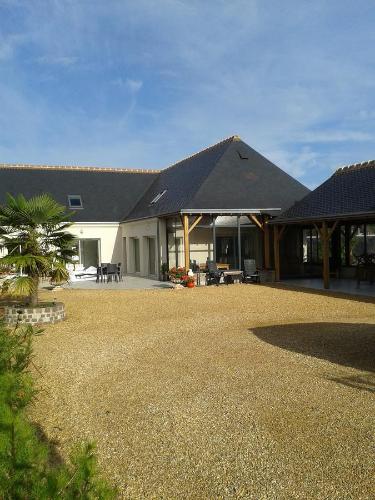
Guest accommodation : Le Nid de Bercé
This self-catering cottage is set in a large garden, just outside Jupilles village, a 45-minute drive from Le Mans. It features a wooden terrace with barbecue facilities and off...
Address : Le Ragot - Le Nid de Bercé 72500 Jupilles
Distance Guest accommodation - Flée : 5.58 km
|
|
|
Bed and Breakfast : L'Autourserie
Located in the countryside of Chahaignes, L'Autourserie provides B&B accommodation, a furnished garden, a terrace and a 1-hectare fishing pond. It is 10 km from Château-du-Loir ...
Rate : from 60.00 €
to 75.00 €
Contact : La Pointe 72340 Chahaignes
Distance Bed and Breakfast - Flée : 6.09 km
|
|
Find another hotel near Flée : Flée hotels list
|
Map of Flée
|
|
Map of Flée :
At right you can find the localization of Flée on the map of France. Below, this is the satellite map of Flée. A road map, and maps templates of Flée are available here : "road map of Flée". This map show Flée seen by the satellite of Google Map. To see the streets of Flée or move on another zone, use the buttons "zoom" and "map" on top of this dynamic map.
Search on the map of Flée :
To search hotels, housings, tourist information office, administrations or other services, use the Google search integrated to the map on the following page : "map Flée".
Hotels of Flée are listed on the map with the following icons: 
The map of Flée is centred in the following coordinates :
|

|
|
|
|
Print the map of Flée

Print the map of Flée : map of Flée
|
Photos Flée
|
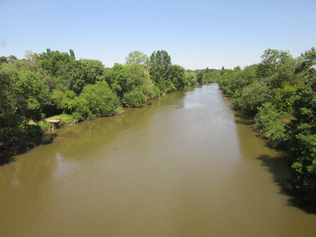
See all photos of Flée :
Other photos of Flée and nearby towns can be found here: photos Flée
|
|
Flée weather forecast
Find next hours and 7 days weather forecast for Flée here : weather Flée (with english metrics)
This is the last weather forecast for Flée collected by the nearest observation station of Château-du-Loir.
Week Forecast:
The latest weather data for Flée were collected Thursday, 30 July 2026 at 19:04 from the nearest observation station of Château-du-Loir.
| Thursday, July 30th |
30°C 18°C
66%
54%
|
Rain
Temperature Max: 30°C Temperature Min: 18°C
Precipitation Probability: 66% (Rain)
Percentage of sky occluded by clouds: 54%
Wind speed: 9 km/h East
Humidity: 62%° UV Index: 7
Sunrise: 06:33 Sunset: 21:36 |
|
| | Friday, July 31st |
29°C 18°C
0%
72%
|
Mostly cloudy
Temperature Max: 29°C Temperature Min: 18°C
Precipitation Probability: 0%
Percentage of sky occluded by clouds: 72%
Wind speed: 10 km/h South
Humidity: 57%° UV Index: 5
Sunrise: 06:34 Sunset: 21:34 |
|
| | Saturday, August 1st |
28°C 15°C
0%
57%
|
Partly cloudy
Temperature Max: 28°C Temperature Min: 15°C
Precipitation Probability: 0%
Percentage of sky occluded by clouds: 57%
Wind speed: 9 km/h South
Humidity: 44%° UV Index: 6
Sunrise: 06:35 Sunset: 21:33 |
|
| | Sunday, August 2nd |
31°C 15°C
0%
42%
|
Partly cloudy
Temperature Max: 31°C Temperature Min: 15°C
Precipitation Probability: 0%
Percentage of sky occluded by clouds: 42%
Wind speed: 10 km/h Sout-East
Humidity: 42%° UV Index: 5
Sunrise: 06:36 Sunset: 21:32 |
|
|
Attribution: 
|
|
Other maps, hotels and towns in france
Find another town, zip code, department, region, ...
Quick links Flée :
Make a link to this page of Flée with the following code :
|
|
|
 French Version : http://www.cartesfrance.fr/carte-france-ville/72134_Flee.html