|
The village of Flirey is a small village located north east of France. The town of Flirey is located in the department of Meurthe-et-Moselle of the french region Lorraine. The town of Flirey is located in the township of Thiaucourt-Regniéville part of the district of Toul. The area code for Flirey is 54200 (also known as code INSEE), and the Flirey zip code is 54470.
Geography and map of Flirey :
The altitude of the city hall of Flirey is approximately 280 meters. The Flirey surface is 15.77 km ². The latitude and longitude of Flirey are 48.876 degrees North and 5.847 degrees East.
Nearby cities and towns of Flirey are :
Bernécourt (54470) at 3.65 km, Limey-Remenauville (54470) at 3.69 km, Seicheprey (54470) at 4.09 km, Saint-Baussant (54470) at 4.41 km, Lironville (54470) at 4.47 km, Noviant-aux-Prés (54385) at 4.63 km, Lahayville (55300) at 4.89 km, Mandres-aux-Quatre-Tours (54470) at 5.07 km.
(The distances to these nearby towns of Flirey are calculated as the crow flies)
Population and housing of Flirey :
The population of Flirey was 173 in 1999, 206 in 2006 and 199 in 2007. The population density of Flirey is 12.62 inhabitants per km². The number of housing of Flirey was 75 in 2007. These homes of Flirey consist of 68 main residences, 1 second or occasional homes and 6 vacant homes. |
|
|
Hotel Flirey
|
|
|
Book now ! Best Price Guaranteed, no booking fees, pay at the hotel with our partner Booking.com, leader in online hotel reservation.
Find all hotels of Flirey : Hotel Flirey
| |
|
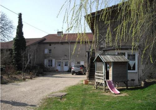
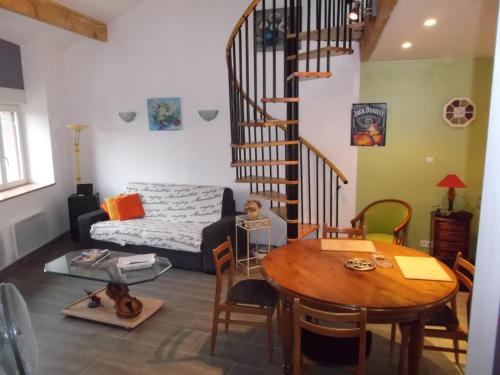
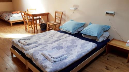
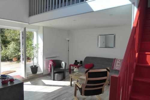
Bed and Breakfast : Chambres d'hôtes Domaine de Saturnin
Chambres d'hôtes Le Domaine de Saturnin is set in a renovated 16th-century farmhouse, located 8 km from the medieval Pierrefort Castle. It features a sauna and a continental bre...
Rate : from 88.00 €
Address : 5 rue de la Source 54470 Bernécourt
Distance Bed and Breakfast - Flirey : 3.78 km
|
|
|
Guest accommodation : Abri Rolange


Situated in Essey-et-Maizerais, Abri Rolange features accommodation with a terrace and free WiFi. The property features river views and is 49 km from Verdun-sur-Meuse. This hol...
Contact : 6 chemin de ville 54470 Essey-et-Maizerais
Distance Guest accommodation - Flirey : 5.55 km
|
|
|
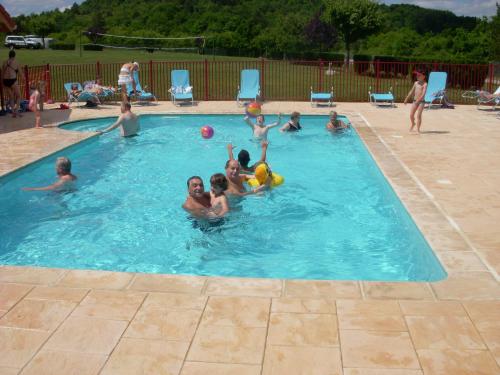
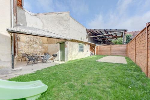
Guest accommodation : Camping de la Pelouse
Just 10 metres from the Rupt de Mad River, Camping de la Pelouse offers self-catering, wooden bungalows, an outdoor swimming pool, a bar, and the onsite restaurant is open from ...
Prices : from 140.00 €
Contact : Chemin de Fey 54470 Jaulny
Distance Guest accommodation - Flirey : 10.37 km
|
|
|
Guest accommodation : Côte
Set in Loupmont, Côte offers free bikes, free WiFi, a shared kitchen, and a shared lounge. The accommodation is 49 km from Verdun-sur-Meuse. The holiday home includes a kitchen...
Rate : from 78.40 €
to 112.70 €
Contact : 19 Gr Grande Rue 55300 Loupmont
Distance Guest accommodation - Flirey : 12.60 km
|
|
|
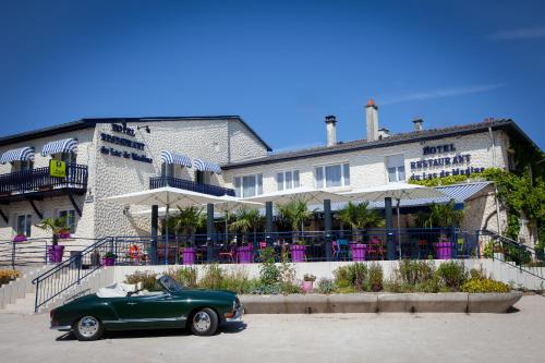
Hotel : Logis Hôtel du Lac de la Madine
Located just 1 km from Lake Madine, Logis Hôtel du Lac de la Madine features a terrace, garden and restaurant. Hattonchâtel Castle is just a 10-minute drive from the hotel. All...
Price : from 70.00 €
to 84.00 €
Address : 22, rue Charles de Gaulle 55210 Heudicourt-sous-les-Côtes
Distance Hotel - Flirey : 12.72 km
|
|
|
Bed and Breakfast : B&B Le Paradis
Boasting a seasonal outdoor swimming pool, a garden, and a terrace, B&B Le Paradis offers accommodation in Buxerulles with free WiFi and pool views. Guests staying at this bed a...
Contact : 18 Grand Rue 55300 Buxerulles
Distance Bed and Breakfast - Flirey : 13.57 km
|
|
|
Hotel : Hôtel Du Relais De Poste
Set in Pont à Mousson, Hôtel Du Relais De Poste is a hotel offering a bar with terrace, just 450 metres from La Moselle River Banks and 600 metres from a forest. Free Wi-Fi is a...
Rate : from 55.00 €
to 75.00 €
Contact : 42 Rue Victor Hugo 54700 Pont-à-Mousson
Distance Hotel - Flirey : 15.17 km
|
|
|
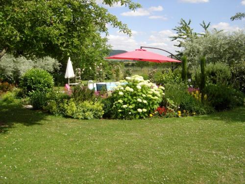
Bed and Breakfast : Dans un jardin
Featuring free WiFi, Dans un jardin offers accommodation in Apremont-la-Forêt, in the Lorraine Regional Natural Park, 19 km from Madine lake. The studio is set in a garden. Free...
Price : from 75.00 €
to 109.00 €
Contact : 9 Rue Belle Skinner 55300 Apremont-la-Forêt
Distance Bed and Breakfast - Flirey : 15.38 km
|
|
|
Guest accommodation : Gîte Meuse
Boasting barbecue facilities, a garden, and a terrace, Gîte Meuse offers accommodation in Vigneulles-lès-Hattonchâtel with free WiFi and garden views. This holiday home provides...
Address : 2, rue de l'âtre 55210 Vigneulles-lès-Hattonchâtel
Distance Guest accommodation - Flirey : 15.59 km
|
|

|
Hotel : Hôtel de l'Abbaye des Prémontrés
The Hôtel de l'Abbaye des Prémontrés is located in Pont-à-Mousson, on the banks of the Moselle River. This 18th-century historical monument has landscaped gardens and offers roo...
Rate : from 78.20 €
to 143.00 €
Contact : 1 rue Damay BP 125 54705 Pont-à-Mousson
Distance Hotel - Flirey : 15.67 km
|
|
Find another hotel near Flirey : Flirey hotels list
|
Map of Flirey
|
|
Map of Flirey :
At right you can find the localization of Flirey on the map of France. Below, this is the satellite map of Flirey. A road map, and maps templates of Flirey are available here : "road map of Flirey". This map show Flirey seen by the satellite of Google Map. To see the streets of Flirey or move on another zone, use the buttons "zoom" and "map" on top of this dynamic map.
Search on the map of Flirey :
To search hotels, housings, tourist information office, administrations or other services, use the Google search integrated to the map on the following page : "map Flirey".
Hotels of Flirey are listed on the map with the following icons: 
The map of Flirey is centred in the following coordinates :
|

|
|
|
|
Print the map of Flirey

Print the map of Flirey : map of Flirey
|
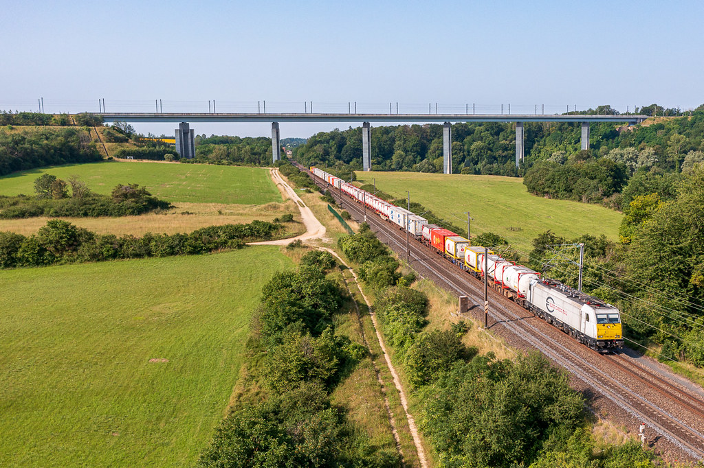
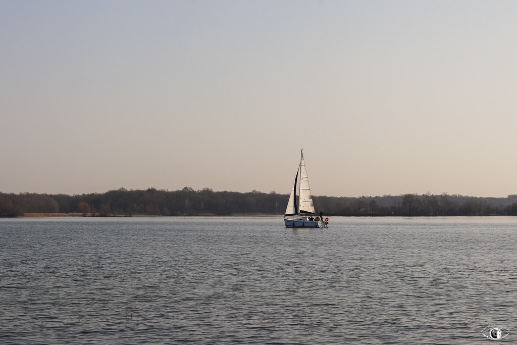
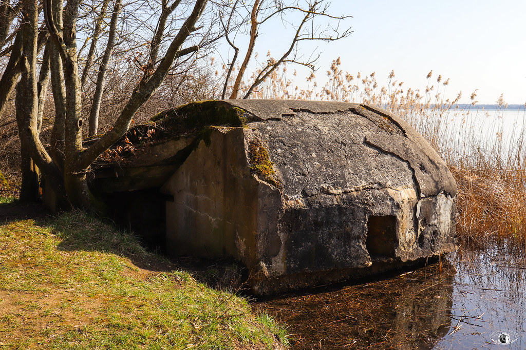
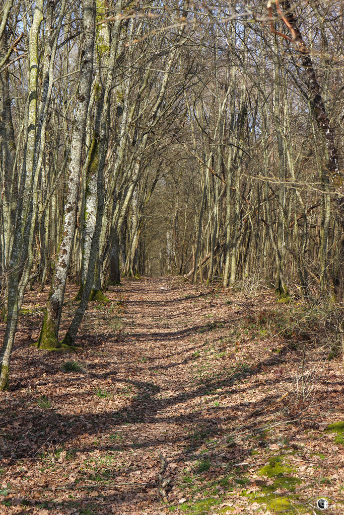
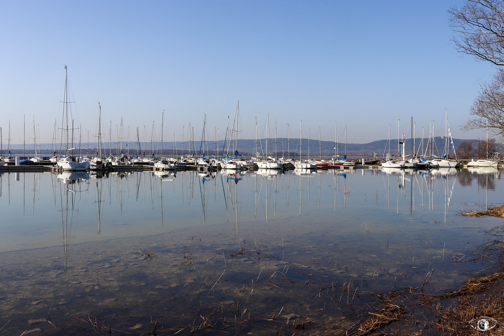
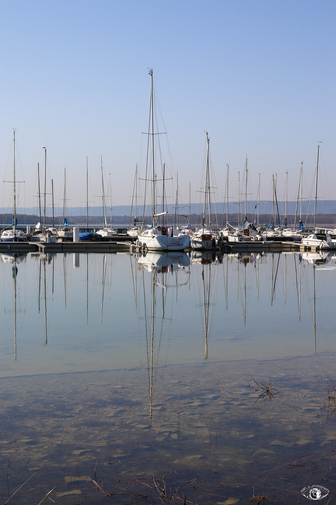
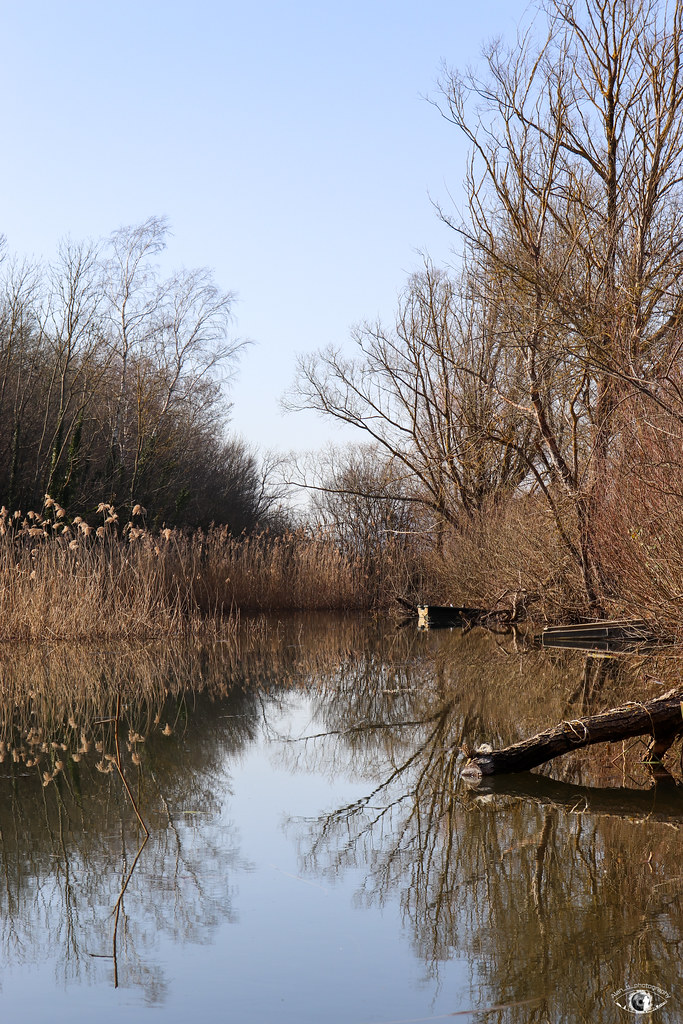
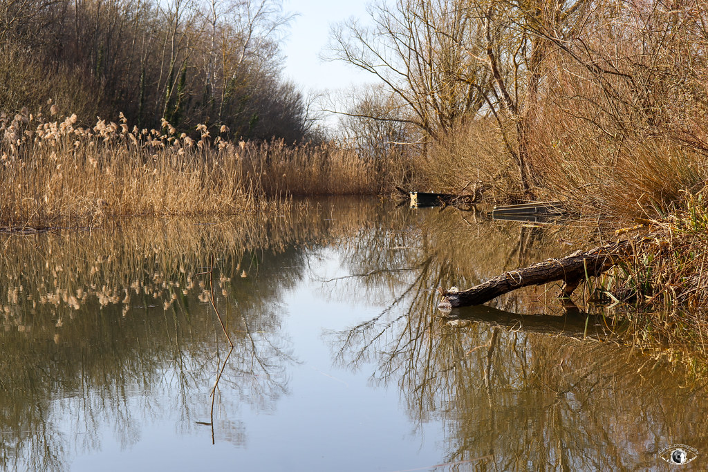
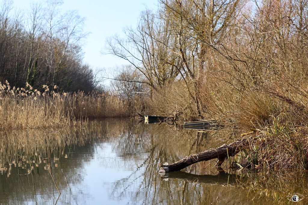
Photos Flirey
|
See all photos of Flirey :
Other photos of Flirey and nearby towns can be found here: photos Flirey
|
|
Flirey weather forecast
Find next hours and 7 days weather forecast for Flirey here : weather Flirey (with english metrics)
This is the last weather forecast for Flirey collected by the nearest observation station of Thiaucourt-Regniéville.
Week Forecast:
The latest weather data for Flirey were collected Friday, 31 July 2026 at 11:04 from the nearest observation station of Thiaucourt-Regniéville.
| Friday, July 31st |
29°C 18°C
38%
70%
|
Thunderstorms
Temperature Max: 29°C Temperature Min: 18°C
Precipitation Probability: 38% (Rain)
Percentage of sky occluded by clouds: 70%
Wind speed: 10 km/h East
Humidity: 55%° UV Index: 4
Sunrise: 06:07 Sunset: 21:17 |
|
| | Saturday, August 1st |
28°C 17°C
36%
56%
|
Drizzle
Temperature Max: 28°C Temperature Min: 17°C
Precipitation Probability: 36% (Rain)
Percentage of sky occluded by clouds: 56%
Wind speed: 7 km/h South-East
Humidity: 56%° UV Index: 6
Sunrise: 06:09 Sunset: 21:15 |
|
| | Sunday, August 2nd |
31°C 17°C
0%
29%
|
Mostly clear
Temperature Max: 31°C Temperature Min: 17°C
Precipitation Probability: 0%
Percentage of sky occluded by clouds: 29%
Wind speed: 6 km/h West
Humidity: 45%° UV Index: 6
Sunrise: 06:10 Sunset: 21:14 |
|
| | Monday, August 3rd |
33°C 19°C
31%
59%
|
Rain
Temperature Max: 33°C Temperature Min: 19°C
Precipitation Probability: 31% (Rain)
Percentage of sky occluded by clouds: 59%
Wind speed: 8 km/h North
Humidity: 46%° UV Index: 6
Sunrise: 06:11 Sunset: 21:12 |
|
|
Attribution: 
|
|
Other maps, hotels and towns in france
Find another town, zip code, department, region, ...
Quick links Flirey :
Make a link to this page of Flirey with the following code :
|
|
|
 French Version : http://www.cartesfrance.fr/carte-france-ville/54200_Flirey.html