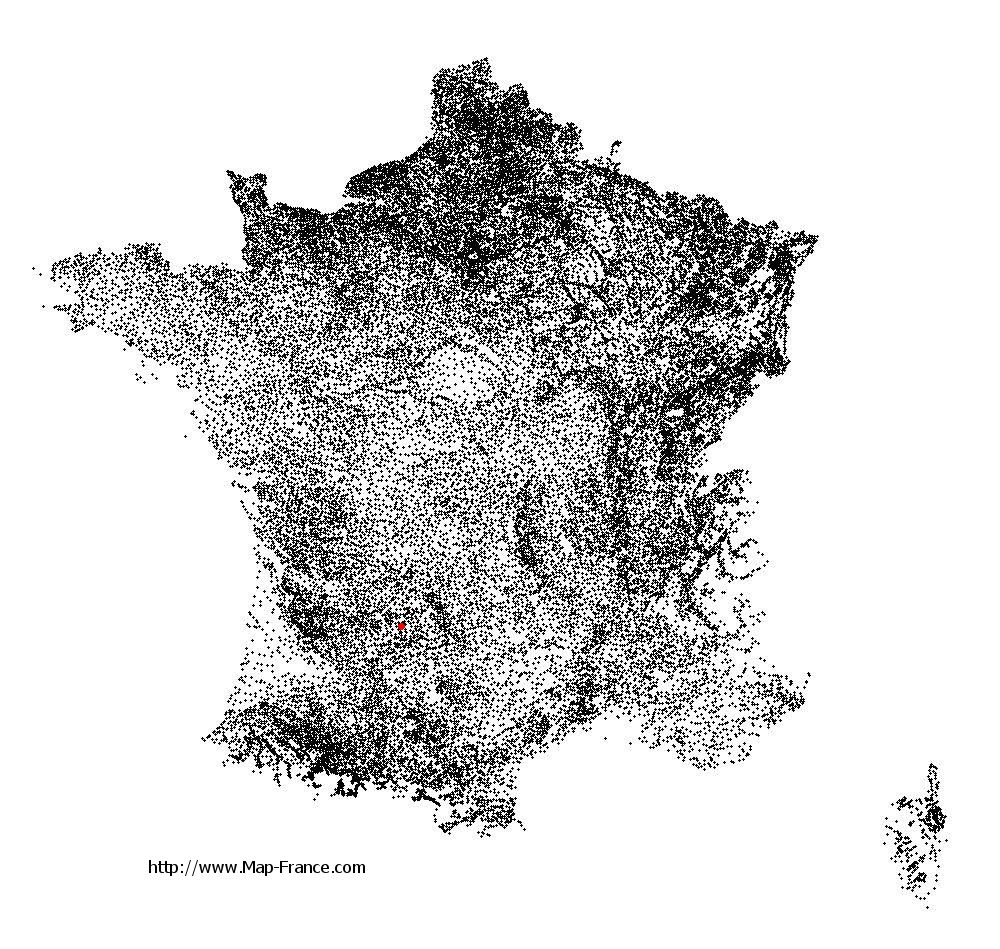
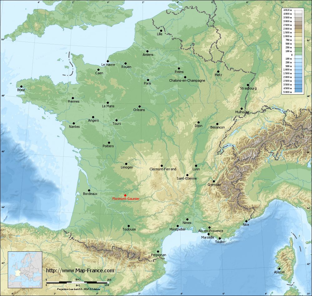
Florimont-Gaumier on the relief France map in Lambert 93 coordinates
|
See the map of Florimont-Gaumier in full screen (1000 x 949)
|
At left, here is the location of Florimont-Gaumier on the relief France map in Lambert 93 coordinates.
Here are the altitudes of Florimont-Gaumier :
- Town hall altitude of Florimont-Gaumier is 265 meters
- Minimum altitude of Florimont-Gaumier is 116 meters
- Maximum altitude of Florimont-Gaumier is 288 meters
- Medium altitude of Florimont-Gaumier is 202 meters
Here are the altitudes of Périgueux, prefecture of Dordogne department:
- Town hall altitude of Périgueux is 90 meters
- Minimum altitude of Périgueux is 75 meters
- Maximum altitude of Périgueux is 189 meters
- Medium altitude of Périgueux is 132 meters
Here are the altitudes of the french biggest cities:
Paris : 33 meters
Marseille : 20 meters
Lyon : 237 meters
Toulouse : 146 meters
Nice : 10 meters
Nantes : 20 meters
Strasbourg : 144 meters
Montpellier : 35 meters
Bordeaux : 16 meters
Lille : 20 meters
Rennes : 35 meters
Reims : 83 meters
Click here for the terrain map of Florimont-Gaumier in full screen:
Relief map of Florimont-Gaumier
|
This relief map of Florimont-Gaumier is reusable and modifiable by making a link to this page of the Map-France.com website or by using the given code :
|
Terrain base map of Florimont-Gaumier
|

See the terrain base map of Florimont-Gaumier in full screen (1000 x 949)
|
Small relief base map of Florimont-Gaumier
|
This base map of Florimont-Gaumier is reusable and modifiable by making a link to this page of the Map-France.com website or by using the given code :
|
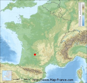
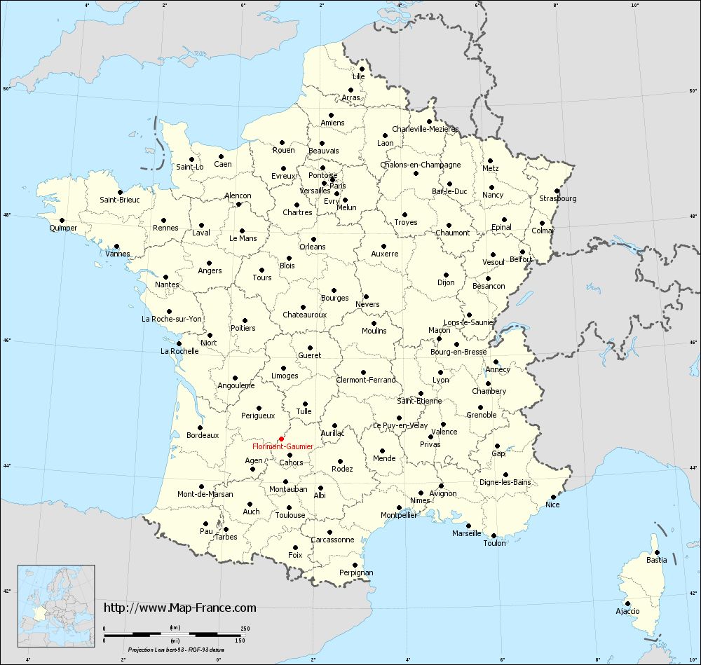
Map of Florimont-Gaumier with regions and prefectures
|
View the map of Florimont-Gaumier in full screen (1000 x 949)
|
You will find the location of Florimont-Gaumier on the map of France of regions in Lambert 93 coordinates. The town of Florimont-Gaumier is located in the department of Dordogne of the french region Aquitaine.
Geographical sexagesimal coordinates / GPS (WGS84):
Latitude: 44° 41' 57'' North
Longitude: 01° 14' 22'' East
Geographical decimal coordinates :
Latitude: 44.7 degrees (44.7° North)
Longitude: 1.239 degrees (1.239° East)
Lambert 93 coordinates :
X: 5 605 hectometers
Y: 64 015 hectometers
Lambert 2 coordinates :
X: 5 130 hectometers
Y: 19 671 hectometers
Below, the geographical coordinates of Périgueux, prefecture of the Dordogne department:
Geographical sexagesimal coordinates / GPS (WGS84):
Latitude: 45° 11' 03'' North
Longitude: 00° 43' 05'' East
Geographical decimal coordinates :
Latitude: 45.185 degrees (45.185° North)
Longitude: 0.721 degrees (0.721° East)
Lambert 93 coordinates :
X: 5 208 hectometers
Y: 64 565 hectometers
Lambert 2 coordinates :
X: 4 728 hectometers
Y: 20 217 hectometers
|
This map of Florimont-Gaumier is reusable and modifiable by making a link to this page of the Map-France.com website or by using the given code :
|
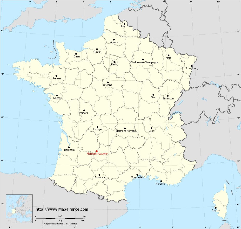
Map of Florimont-Gaumier with departments and prefectures
|
Voir la carte of Florimont-Gaumier en grand format (1000 x 949)
|
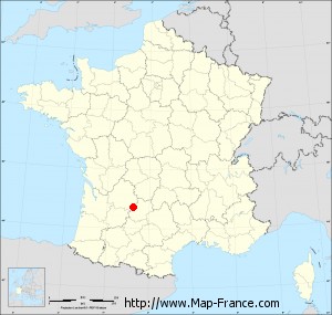
Here is the localization of Florimont-Gaumier on the France map of departments in Lambert 93 coordinates. The city of Florimont-Gaumier is shown on the map by a red point.
The town of Florimont-Gaumier is located in the department of Dordogne of the french region Aquitaine.
The latitude of Florimont-Gaumier is 44.7 degrees North.
The longitude of Florimont-Gaumier is 1.239 degrees East.
Here the distance between Florimont-Gaumier and the biggest cities of France:
Distances are calculated as the crow flies (orthodromic distance)
Distance between Florimont-Gaumier and Paris : 469.91 kilometers
Distance between Florimont-Gaumier and Marseille : 367.12 kilometers
Distance between Florimont-Gaumier and Lyon : 304.95 kilometers
Distance between Florimont-Gaumier and Toulouse : 123.33 kilometers
Distance between Florimont-Gaumier and Nice : 492.12 kilometers
Distance between Florimont-Gaumier and Nantes : 353.37 kilometers
Distance between Florimont-Gaumier and Strasbourg : 657.89 kilometers
Distance between Florimont-Gaumier and Montpellier : 242.47 kilometers
Distance between Florimont-Gaumier and Bordeaux : 143.99 kilometers
Distance between Florimont-Gaumier and Lille : 672.33 kilometers
Distance between Florimont-Gaumier and Rennes : 439.72 kilometers
Distance between Florimont-Gaumier and Reims : 548.8 kilometers
Clic here to see the map of Florimont-Gaumier in full screen:
Florimont-Gaumier on the map of french departments
|
This administrative map of Florimont-Gaumier is reusable and modifiable by making a link to this page of the Map-France.com website or by using the given code :
|
Administrative base maps of Florimont-Gaumier
|

See the administrative base map of Florimont-Gaumier in full screen (1000 x 949)
|
Small administrative base map of Florimont-Gaumier
|
This base map administrative of Florimont-Gaumier is reusable and modifiable by making a link to this page of the Map-France.com website or by using the given code :
|
 French Version : http://www.cartesfrance.fr