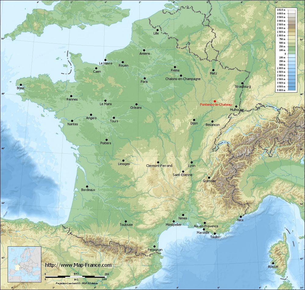
Fontenoy-le-Château on the relief France map in Lambert 93 coordinates
|
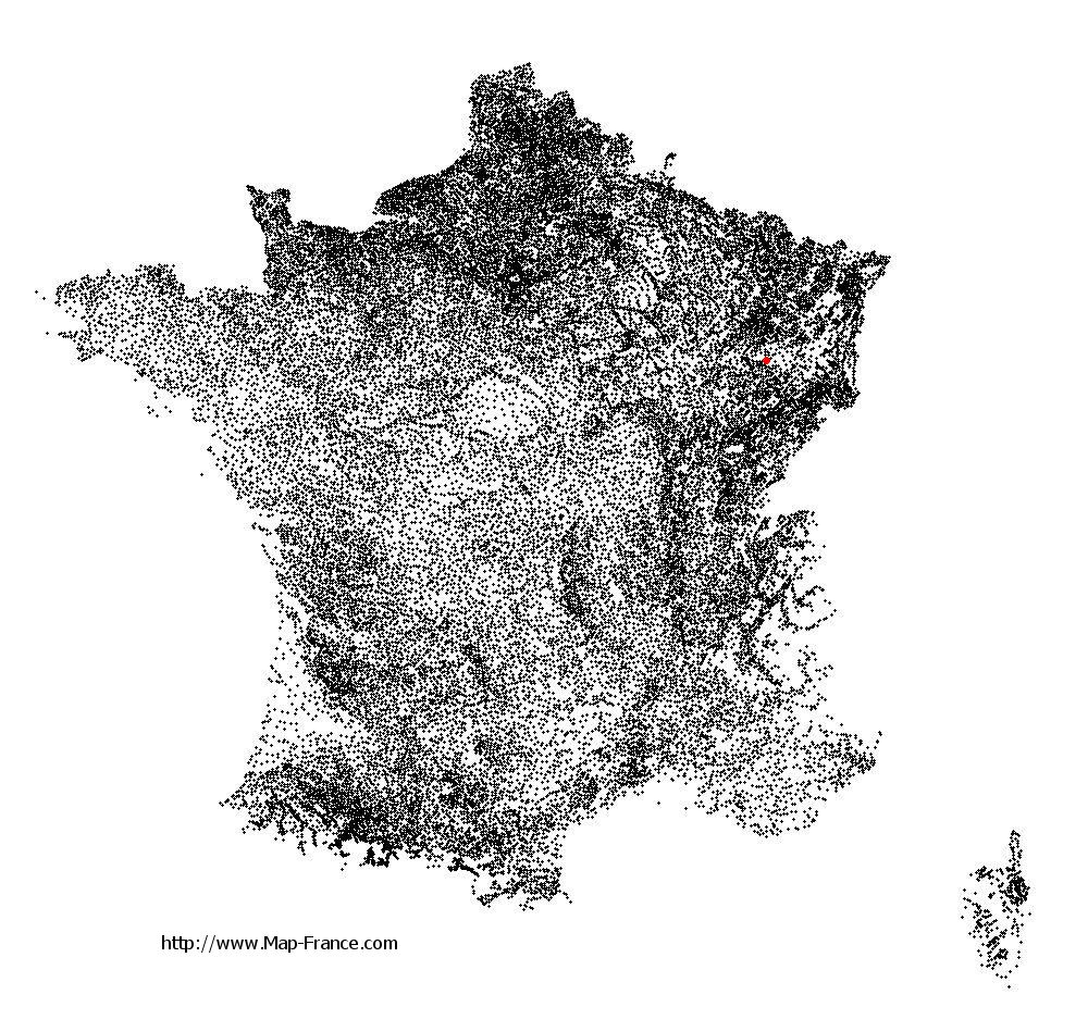
See the map of Fontenoy-le-Château in full screen (1000 x 949)
|
At left, here is the location of Fontenoy-le-Château on the relief France map in Lambert 93 coordinates.
Here are the altitudes of Fontenoy-le-Château :
- Town hall altitude of Fontenoy-le-Château is 270 meters
- Minimum altitude of Fontenoy-le-Château is 247 meters
- Maximum altitude of Fontenoy-le-Château is 461 meters
- Medium altitude of Fontenoy-le-Château is 354 meters
Here are the altitudes of Épinal, prefecture of Vosges department:
- Town hall altitude of Épinal is 330 meters
- Minimum altitude of Épinal is 315 meters
- Maximum altitude of Épinal is 492 meters
- Medium altitude of Épinal is 404 meters
Here are the altitudes of the french biggest cities:
Paris : 33 meters
Marseille : 20 meters
Lyon : 237 meters
Toulouse : 146 meters
Nice : 10 meters
Nantes : 20 meters
Strasbourg : 144 meters
Montpellier : 35 meters
Bordeaux : 16 meters
Lille : 20 meters
Rennes : 35 meters
Reims : 83 meters
Click here for the terrain map of Fontenoy-le-Château in full screen:
Relief map of Fontenoy-le-Château
|
This relief map of Fontenoy-le-Château is reusable and modifiable by making a link to this page of the Map-France.com website or by using the given code :
|
Terrain base map of Fontenoy-le-Château
|

See the terrain base map of Fontenoy-le-Château in full screen (1000 x 949)
|
Small relief base map of Fontenoy-le-Château

|
This base map of Fontenoy-le-Château is reusable and modifiable by making a link to this page of the Map-France.com website or by using the given code :
|
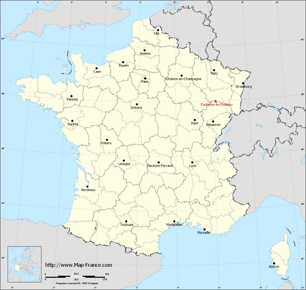
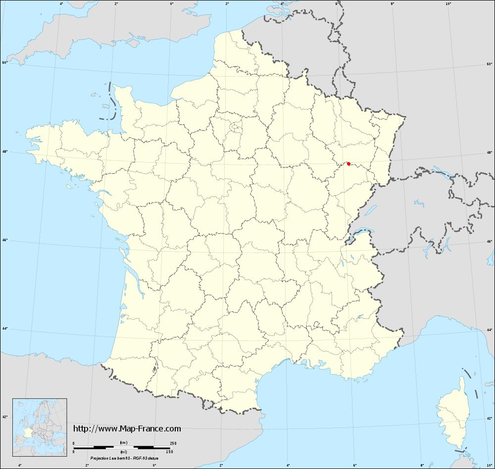
Map of Fontenoy-le-Château with regions and prefectures
|
View the map of Fontenoy-le-Château in full screen (1000 x 949)
|
You will find the location of Fontenoy-le-Château on the map of France of regions in Lambert 93 coordinates. The town of Fontenoy-le-Château is located in the department of Vosges of the french region Lorraine.
Geographical sexagesimal coordinates / GPS (WGS84):
Latitude: 47° 58' 25'' North
Longitude: 06° 11' 57'' East
Geographical decimal coordinates :
Latitude: 47.974 degrees (47.974° North)
Longitude: 6.201 degrees (6.201° East)
Lambert 93 coordinates :
X: 9 387 hectometers
Y: 67 685 hectometers
Lambert 2 coordinates :
X: 8 883 hectometers
Y: 23 376 hectometers
Below, the geographical coordinates of Épinal, prefecture of the Vosges department:
Geographical sexagesimal coordinates / GPS (WGS84):
Latitude: 48° 10' 25'' North
Longitude: 06° 27' 06'' East
Geographical decimal coordinates :
Latitude: 48.177 degrees (48.177° North)
Longitude: 6.448 degrees (6.448° East)
Lambert 93 coordinates :
X: 9 565 hectometers
Y: 67 915 hectometers
Lambert 2 coordinates :
X: 9 060 hectometers
Y: 23 607 hectometers
|
This map of Fontenoy-le-Château is reusable and modifiable by making a link to this page of the Map-France.com website or by using the given code :
|
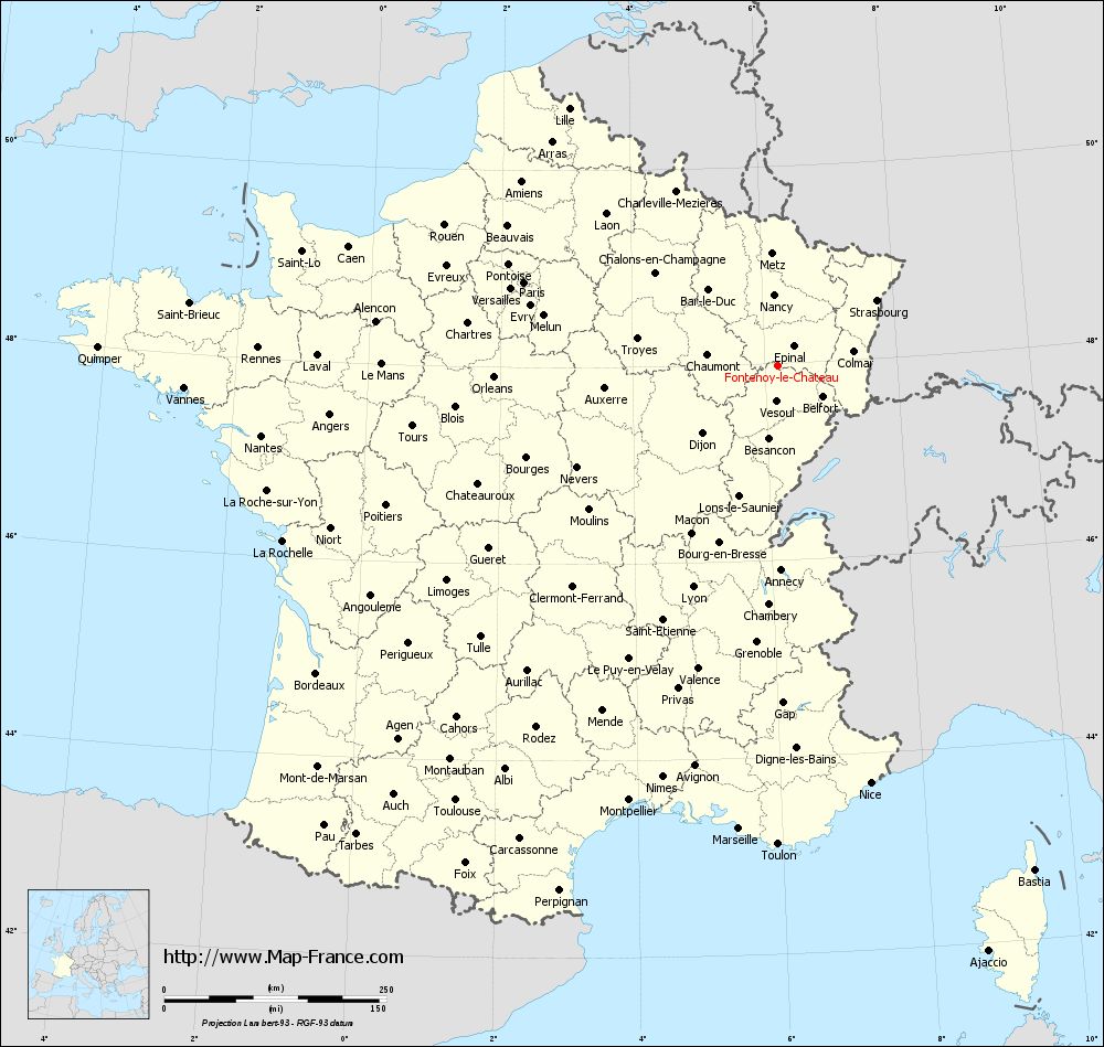
Map of Fontenoy-le-Château with departments and prefectures
|
Voir la carte of Fontenoy-le-Château en grand format (1000 x 949)
|
Here is the localization of Fontenoy-le-Château on the France map of departments in Lambert 93 coordinates. The city of Fontenoy-le-Château is shown on the map by a red point.
The town of Fontenoy-le-Château is located in the department of Vosges of the french region Lorraine.
The latitude of Fontenoy-le-Château is 47.974 degrees North.
The longitude of Fontenoy-le-Château is 6.201 degrees East.
Here the distance between Fontenoy-le-Château and the biggest cities of France:
Distances are calculated as the crow flies (orthodromic distance)
Distance between Fontenoy-le-Château and Paris : 300.85 kilometers
Distance between Fontenoy-le-Château and Marseille : 523.29 kilometers
Distance between Fontenoy-le-Château and Lyon : 266.98 kilometers
Distance between Fontenoy-le-Château and Toulouse : 609.37 kilometers
Distance between Fontenoy-le-Château and Nice : 481.22 kilometers
Distance between Fontenoy-le-Château and Nantes : 586.8 kilometers
Distance between Fontenoy-le-Château and Strasbourg : 133.47 kilometers
Distance between Fontenoy-le-Château and Montpellier : 517.34 kilometers
Distance between Fontenoy-le-Château and Bordeaux : 624.52 kilometers
Distance between Fontenoy-le-Château and Lille : 373.1 kilometers
Distance between Fontenoy-le-Château and Rennes : 585.41 kilometers
Distance between Fontenoy-le-Château and Reims : 213.89 kilometers
Clic here to see the map of Fontenoy-le-Château in full screen:
Fontenoy-le-Château on the map of french departments
|
This administrative map of Fontenoy-le-Château is reusable and modifiable by making a link to this page of the Map-France.com website or by using the given code :
|
Administrative base maps of Fontenoy-le-Château
|
See the administrative base map of Fontenoy-le-Château in full screen (1000 x 949)
|
Small administrative base map of Fontenoy-le-Château
|
This base map administrative of Fontenoy-le-Château is reusable and modifiable by making a link to this page of the Map-France.com website or by using the given code :
|
 French Version : http://www.cartesfrance.fr