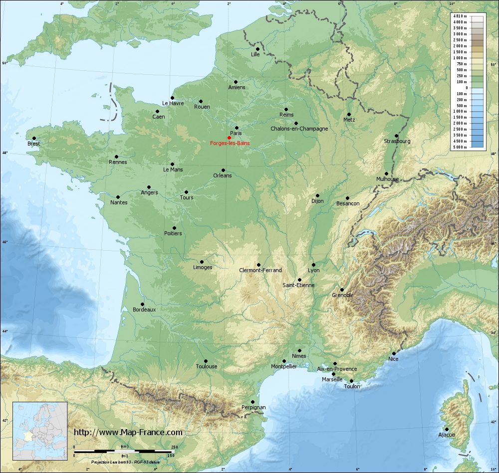
Forges-les-Bains on the relief France map in Lambert 93 coordinates
|
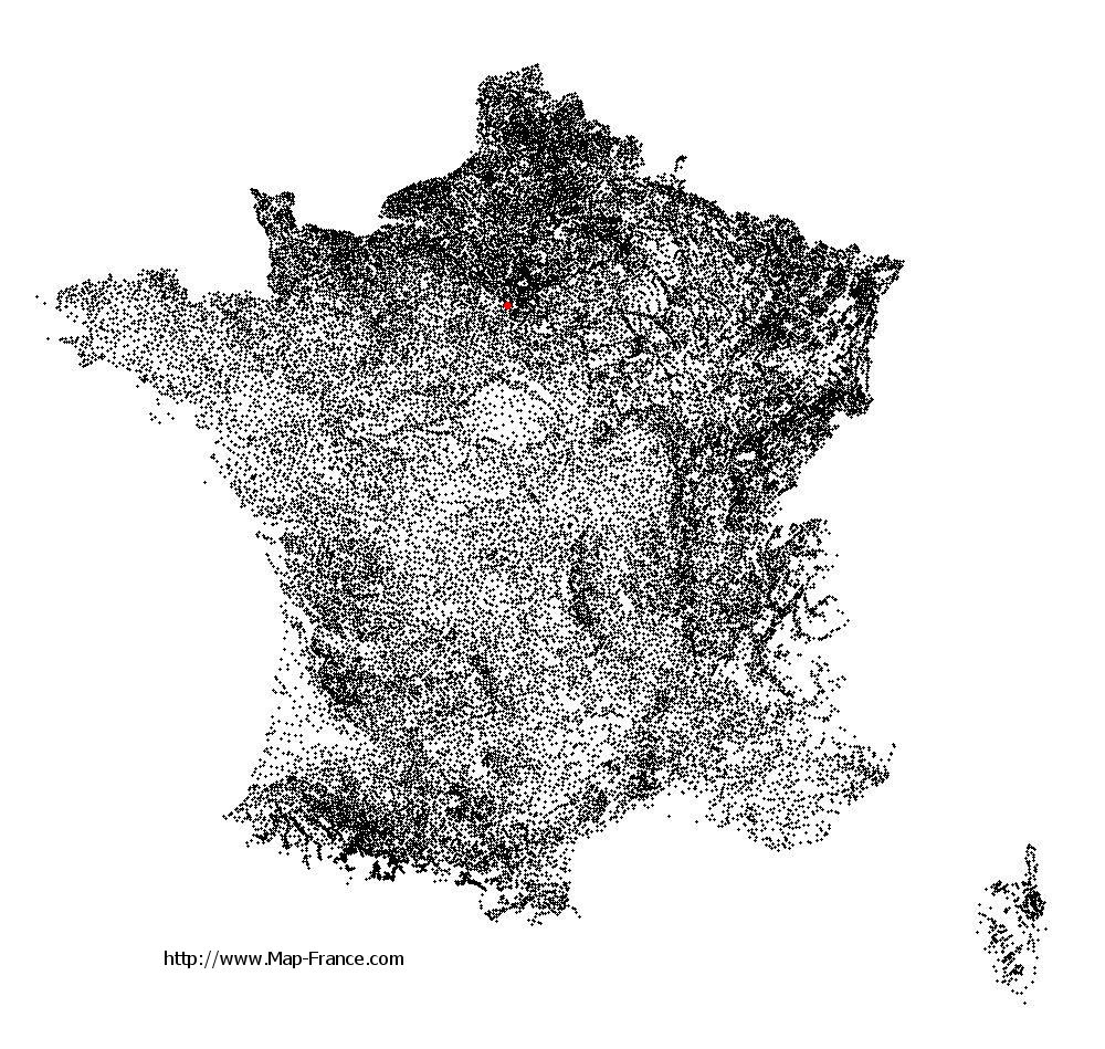
See the map of Forges-les-Bains in full screen (1000 x 949)
|
At left, here is the location of Forges-les-Bains on the relief France map in Lambert 93 coordinates.
Here are the altitudes of Forges-les-Bains :
- Town hall altitude of Forges-les-Bains is 120 meters
- Minimum altitude of Forges-les-Bains is 92 meters
- Maximum altitude of Forges-les-Bains is 169 meters
- Medium altitude of Forges-les-Bains is 131 meters
Here are the altitudes of Évry, prefecture of Essonne department:
- Town hall altitude of Évry is 75 meters
- Minimum altitude of Évry is 32 meters
- Maximum altitude of Évry is 95 meters
- Medium altitude of Évry is 64 meters
Here are the altitudes of the french biggest cities:
Paris : 33 meters
Marseille : 20 meters
Lyon : 237 meters
Toulouse : 146 meters
Nice : 10 meters
Nantes : 20 meters
Strasbourg : 144 meters
Montpellier : 35 meters
Bordeaux : 16 meters
Lille : 20 meters
Rennes : 35 meters
Reims : 83 meters
Click here for the terrain map of Forges-les-Bains in full screen:
Relief map of Forges-les-Bains
|
This relief map of Forges-les-Bains is reusable and modifiable by making a link to this page of the Map-France.com website or by using the given code :
|
Terrain base map of Forges-les-Bains
|

See the terrain base map of Forges-les-Bains in full screen (1000 x 949)
|
Small relief base map of Forges-les-Bains

|
This base map of Forges-les-Bains is reusable and modifiable by making a link to this page of the Map-France.com website or by using the given code :
|
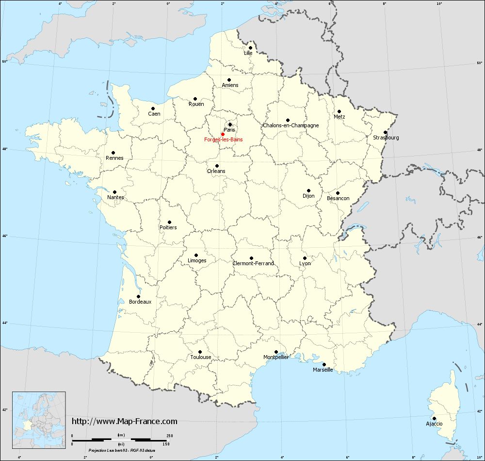
Map of Forges-les-Bains with regions and prefectures
|
View the map of Forges-les-Bains in full screen (1000 x 949)
|
You will find the location of Forges-les-Bains on the map of France of regions in Lambert 93 coordinates. The city of Forges-les-Bains is located in the department of Essonne of the french region Île-de-France.
Geographical sexagesimal coordinates / GPS (WGS84):
Latitude: 48° 37' 41'' North
Longitude: 02° 05' 57'' East
Geographical decimal coordinates :
Latitude: 48.628 degrees (48.628° North)
Longitude: 2.1 degrees (2.1° East)
Lambert 93 coordinates :
X: 6 336 hectometers
Y: 68 368 hectometers
Lambert 2 coordinates :
X: 5 825 hectometers
Y: 24 033 hectometers
Below, the geographical coordinates of Évry, prefecture of the Essonne department:
Geographical sexagesimal coordinates / GPS (WGS84):
Latitude: 48° 38' 02'' North
Longitude: 02° 26' 39'' East
Geographical decimal coordinates :
Latitude: 48.636 degrees (48.636° North)
Longitude: 2.443 degrees (2.443° East)
Lambert 93 coordinates :
X: 6 590 hectometers
Y: 68 372 hectometers
Lambert 2 coordinates :
X: 6 079 hectometers
Y: 24 039 hectometers
|
This map of Forges-les-Bains is reusable and modifiable by making a link to this page of the Map-France.com website or by using the given code :
|
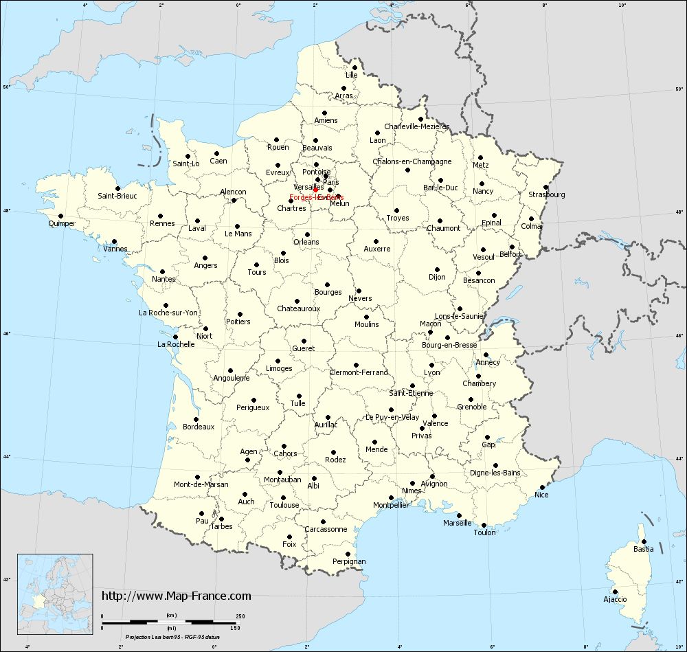
Map of Forges-les-Bains with departments and prefectures
|
Voir la carte of Forges-les-Bains en grand format (1000 x 949)
|
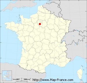
Here is the localization of Forges-les-Bains on the France map of departments in Lambert 93 coordinates. The city of Forges-les-Bains is shown on the map by a red point.
The city of Forges-les-Bains is located in the department of Essonne of the french region Île-de-France.
The latitude of Forges-les-Bains is 48.628 degrees North.
The longitude of Forges-les-Bains is 2.1 degrees East.
Here the distance between Forges-les-Bains and the biggest cities of France:
Distances are calculated as the crow flies (orthodromic distance)
Distance between Forges-les-Bains and Paris : 31.5 kilometers
Distance between Forges-les-Bains and Marseille : 644.59 kilometers
Distance between Forges-les-Bains and Lyon : 379.65 kilometers
Distance between Forges-les-Bains and Toulouse : 560.88 kilometers
Distance between Forges-les-Bains and Nice : 675.54 kilometers
Distance between Forges-les-Bains and Nantes : 313.84 kilometers
Distance between Forges-les-Bains and Strasbourg : 415.43 kilometers
Distance between Forges-les-Bains and Montpellier : 574.11 kilometers
Distance between Forges-les-Bains and Bordeaux : 467.21 kilometers
Distance between Forges-les-Bains and Lille : 232.37 kilometers
Distance between Forges-les-Bains and Rennes : 284.94 kilometers
Distance between Forges-les-Bains and Reims : 157.34 kilometers
Clic here to see the map of Forges-les-Bains in full screen:
Forges-les-Bains on the map of french departments
|
This administrative map of Forges-les-Bains is reusable and modifiable by making a link to this page of the Map-France.com website or by using the given code :
|
Administrative base maps of Forges-les-Bains
|

See the administrative base map of Forges-les-Bains in full screen (1000 x 949)
|
Small administrative base map of Forges-les-Bains
|
This base map administrative of Forges-les-Bains is reusable and modifiable by making a link to this page of the Map-France.com website or by using the given code :
|
 French Version : http://www.cartesfrance.fr