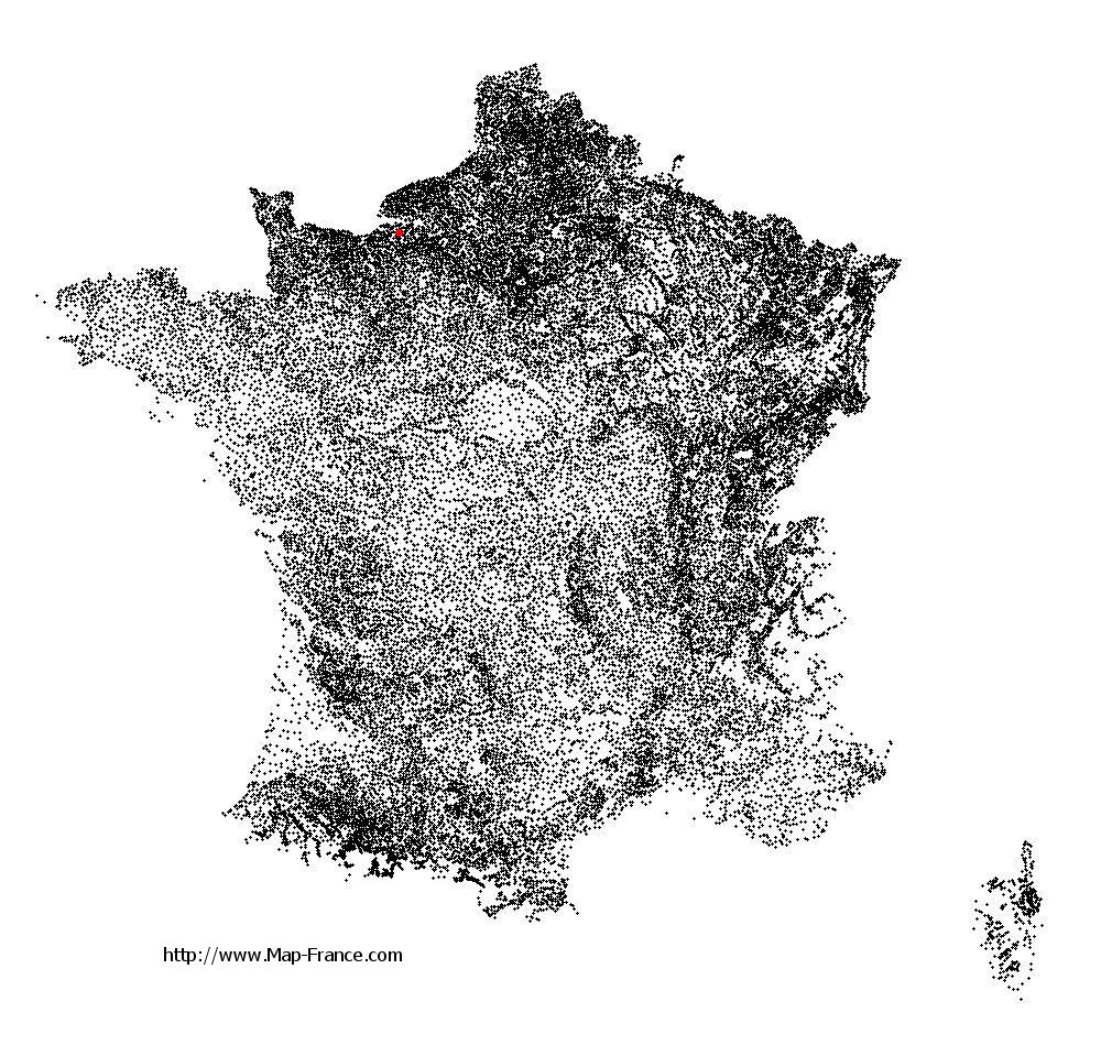
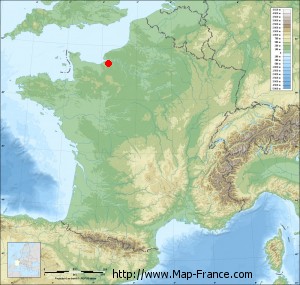
Fort-Moville on the relief France map in Lambert 93 coordinates
|

See the map of Fort-Moville in full screen (1000 x 949)
|
At left, here is the location of Fort-Moville on the relief France map in Lambert 93 coordinates.
Here are the altitudes of Fort-Moville :
- Town hall altitude of Fort-Moville is 70 meters
- Minimum altitude of Fort-Moville is 38 meters
- Maximum altitude of Fort-Moville is 142 meters
- Medium altitude of Fort-Moville is 90 meters
Here are the altitudes of Évreux, prefecture of Eure department:
- Town hall altitude of Évreux is 70 meters
- Minimum altitude of Évreux is 57 meters
- Maximum altitude of Évreux is 147 meters
- Medium altitude of Évreux is 102 meters
Here are the altitudes of the french biggest cities:
Paris : 33 meters
Marseille : 20 meters
Lyon : 237 meters
Toulouse : 146 meters
Nice : 10 meters
Nantes : 20 meters
Strasbourg : 144 meters
Montpellier : 35 meters
Bordeaux : 16 meters
Lille : 20 meters
Rennes : 35 meters
Reims : 83 meters
Click here for the terrain map of Fort-Moville in full screen:
Relief map of Fort-Moville
|
This relief map of Fort-Moville is reusable and modifiable by making a link to this page of the Map-France.com website or by using the given code :
|
Terrain base map of Fort-Moville
|

See the terrain base map of Fort-Moville in full screen (1000 x 949)
|
Small relief base map of Fort-Moville
|
This base map of Fort-Moville is reusable and modifiable by making a link to this page of the Map-France.com website or by using the given code :
|
Map of Fort-Moville with regions and prefectures
|
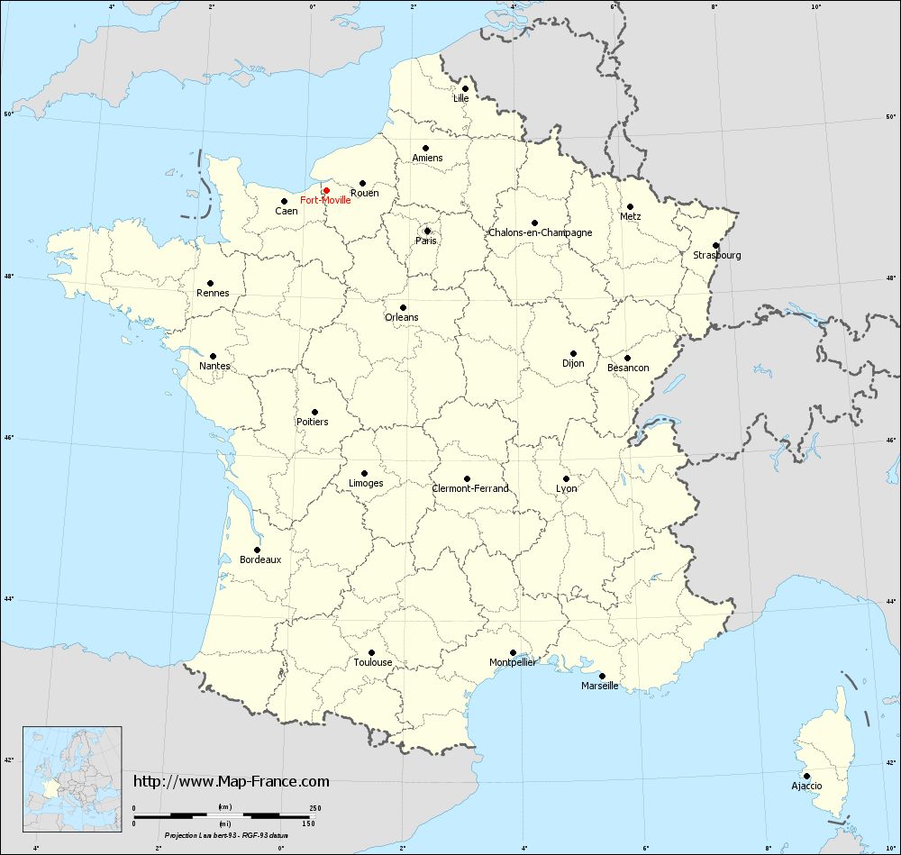
View the map of Fort-Moville in full screen (1000 x 949)
|
You will find the location of Fort-Moville on the map of France of regions in Lambert 93 coordinates. The town of Fort-Moville is located in the department of Eure of the french region Haute-Normandie.
Geographical sexagesimal coordinates / GPS (WGS84):
Latitude: 49° 20' 00'' North
Longitude: 00° 25' 08'' East
Geographical decimal coordinates :
Latitude: 49.333 degrees (49.333° North)
Longitude: 0.42 degrees (0.42° East)
Lambert 93 coordinates :
X: 5 124 hectometers
Y: 69 179 hectometers
Lambert 2 coordinates :
X: 4 605 hectometers
Y: 24 835 hectometers
Below, the geographical coordinates of Évreux, prefecture of the Eure department:
Geographical sexagesimal coordinates / GPS (WGS84):
Latitude: 49° 01' 24'' North
Longitude: 01° 09' 09'' East
Geographical decimal coordinates :
Latitude: 49.023 degrees (49.023° North)
Longitude: 1.154 degrees (1.154° East)
Lambert 93 coordinates :
X: 5 649 hectometers
Y: 68 820 hectometers
Lambert 2 coordinates :
X: 5 134 hectometers
Y: 24 479 hectometers
|
This map of Fort-Moville is reusable and modifiable by making a link to this page of the Map-France.com website or by using the given code :
|
Map of Fort-Moville with departments and prefectures
|
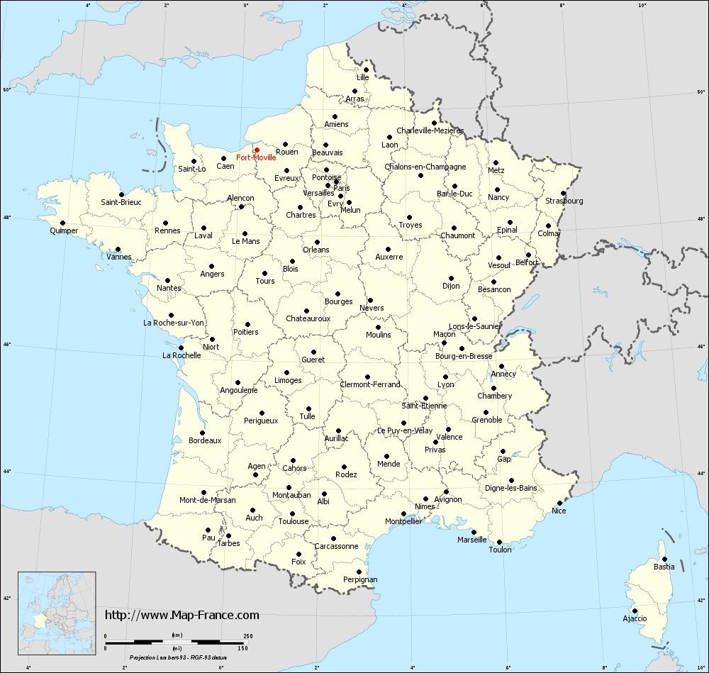
Voir la carte of Fort-Moville en grand format (1000 x 949)
|
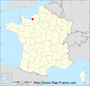
Here is the localization of Fort-Moville on the France map of departments in Lambert 93 coordinates. The city of Fort-Moville is shown on the map by a red point.
The town of Fort-Moville is located in the department of Eure of the french region Haute-Normandie.
The latitude of Fort-Moville is 49.333 degrees North.
The longitude of Fort-Moville is 0.42 degrees East.
Here the distance between Fort-Moville and the biggest cities of France:
Distances are calculated as the crow flies (orthodromic distance)
Distance between Fort-Moville and Paris : 149.58 kilometers
Distance between Fort-Moville and Marseille : 771.41 kilometers
Distance between Fort-Moville and Lyon : 516.76 kilometers
Distance between Fort-Moville and Toulouse : 641.82 kilometers
Distance between Fort-Moville and Nice : 814.47 kilometers
Distance between Fort-Moville and Nantes : 276.51 kilometers
Distance between Fort-Moville and Strasbourg : 541.35 kilometers
Distance between Fort-Moville and Montpellier : 688.53 kilometers
Distance between Fort-Moville and Bordeaux : 504.51 kilometers
Distance between Fort-Moville and Lille : 236.32 kilometers
Distance between Fort-Moville and Rennes : 205.51 kilometers
Distance between Fort-Moville and Reims : 261.76 kilometers
Clic here to see the map of Fort-Moville in full screen:
Fort-Moville on the map of french departments
|
This administrative map of Fort-Moville is reusable and modifiable by making a link to this page of the Map-France.com website or by using the given code :
|
Administrative base maps of Fort-Moville
|

See the administrative base map of Fort-Moville in full screen (1000 x 949)
|
Small administrative base map of Fort-Moville
|
This base map administrative of Fort-Moville is reusable and modifiable by making a link to this page of the Map-France.com website or by using the given code :
|
 French Version : http://www.cartesfrance.fr