|
The village of Fourg is a small village located east of France. The town of Fourg is located in the department of Doubs of the french region Franche-Comté. The town of Fourg is located in the township of Quingey part of the district of Besançon. The area code for Fourg is 25253 (also known as code INSEE), and the Fourg zip code is 25440.
Geography and map of Fourg :
The altitude of the city hall of Fourg is approximately 273 meters. The Fourg surface is 12.10 km ². The latitude and longitude of Fourg are 47.099 degrees North and 5.811 degrees East.
Nearby cities and towns of Fourg are :
Villars-Saint-Georges (25410) at 3.28 km, Courtefontaine (39700) at 3.50 km, Lombard (25440) at 3.85 km, Byans-sur-Doubs (25320) at 3.95 km, Liesle (25440) at 4.12 km, Lavans-Quingey (25440) at 5.04 km, Mesmay (25440) at 5.07 km, Quingey (25440) at 5.27 km.
(The distances to these nearby towns of Fourg are calculated as the crow flies)
Population and housing of Fourg :
The population of Fourg was 254 in 1999, 314 in 2006 and 328 in 2007. The population density of Fourg is 27.11 inhabitants per km². The number of housing of Fourg was 130 in 2007. These homes of Fourg consist of 115 main residences, 11 second or occasional homes and 4 vacant homes. |
|
|
Hotel Fourg
|
|
|
Book now ! Best Price Guaranteed, no booking fees, pay at the hotel with our partner Booking.com, leader in online hotel reservation.
Find all hotels of Fourg : Hotel Fourg
| |
|
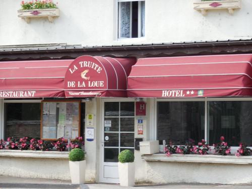
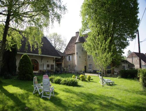
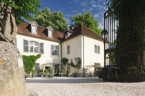
Hotel : La Truite de la Loue

This hotel is located on the banks of the River Loue, in the region of Franche-Comté. It features a restaurant with a terrace built over the river. Free Wi-Fi access is availabl...
Rate : from 76.95 €
to 145.00 €
Address : 2 Route de Lyon 25440 Quingey
Distance Hotel - Fourg : 5.59 km
|
|
|
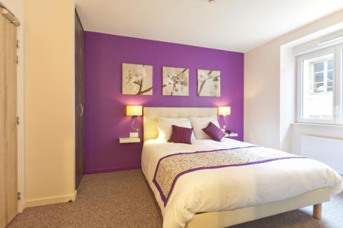
Bed and Breakfast : Le Détour
Le Détour is situated in Buffard in the Franche-Comté region, just 30 km from Besançon and 50 km from Dole. The B&B is set within a garden and offers a terrace, bicycle rental a...
Price : from 75.00 €
to 100.00 €
Contact : 27 rue de Besançon 25440 Buffard
Distance Bed and Breakfast - Fourg : 6.82 km
|
|
|
Hotel : Le Relais D'arc Et Senans
Set in Arc-et-Senans, Le Relais D'arc Et Senans has a terrace, bar and free WiFi. The property features a restaurant. At the hotel, rooms come with a desk. Rooms are complete w...
Prices : from 59.00 €
to 113.00 €
Contact : 9 place de l'eglise 25610 Arc-et-Senans
Distance Hotel - Fourg : 7.11 km
|
|
|
Guest accommodation : le petit Roche
Featuring free WiFi, le petit Roche is a guesthouse that offers accommodation in Arc-et-Senans, 29 km from Besançon. Free private parking is available on site. All rooms come w...
Contact : LE PETIT ROCHE Rue des forges 25610 Arc-et-Senans
Distance Guest accommodation - Fourg : 7.18 km
|
|
|
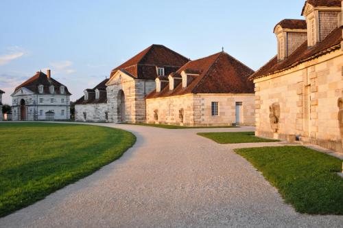
La Saline Royale, located in Arc-et-Senans, is of the few Unesco World Heritage Sites that offers guest rooms inside the museums. Guests have free access to the exhibitions and ...
Price : from 92.00 €
to 147.00 €
Address : Grande Rue 25610 Arc-et-Senans
Distance Hotel - Fourg : 7.79 km
|
|
|
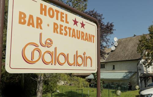
Hotel : Le Galoubin
Le Galoubin is located in Ranchot. It offers a restaurant, free WiFi and classically-furnished rooms featuring a flat-screen TV. Each room at the 2-star Le Galoubin will provid...
Contact : 26 Grande Rue 39700 Ranchot
Distance Hotel - Fourg : 8.62 km
|
|
|
Guest accommodation : La Roulotte d'Amaous
Set in Arc-et-Senans, this home features a terrace and is set in a farm. The property is 32 km from Besançon and boasts views of the mountains. There is a dining area and a kit...
Rate : from 50.00 €
to 95.00 €
Contact : essart jean le duc 39380 Arc-et-Senans
Distance Guest accommodation - Fourg : 9.33 km
|
|
|
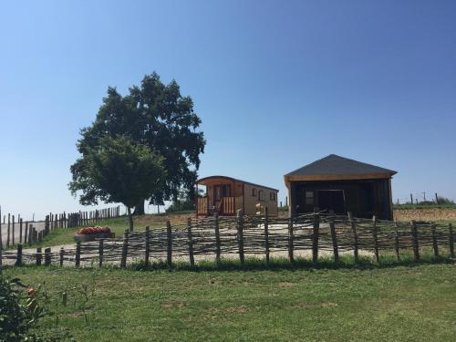
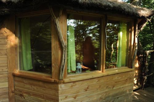
Bed and Breakfast : Cabanes du Bois Clair
Cabanes du Bois Clair is situated in Ranchot. Some units feature a terrace and/or balcony. A continental breakfast is available daily at the bed and breakfast. Besançon is 35...
Price : from 150.00 €
to 355.00 €
Contact : La Plaine 39700 Ranchot
Distance Bed and Breakfast - Fourg : 10.15 km
|
|
|
Hotel : L'Edgar
Set a 5-minute walk from the centre of Port-Lesney, this 1-star hotel is 12 km from Arbois, the department’s wine capital. You can relax in the garden or visit the Planches Cave...
Prices : from 70.00 €
to 120.00 €
Address : 10 Rue Edgar Faure 39600 Port-Lesney
Distance Hotel - Fourg : 10.78 km
|
|
|
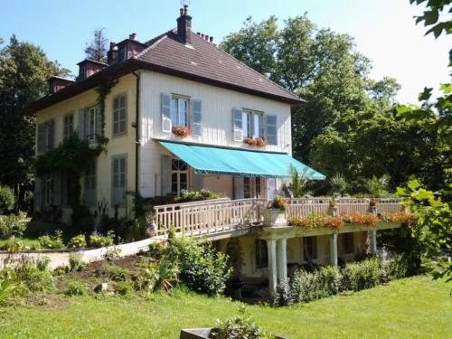
Hotel : Chateau De Germigney
The Chateau de Germigney is set in an 18th-century mansion house set in a park, a 30-minute drive from Dole and Besançon. The Chateau de Germigney offers rooms and suites with ...
Rate : from 143.00 €
to 462.00 €
Contact : 31 Rue Edgar Faure 39600 Port-Lesney
Distance Hotel - Fourg : 11.09 km
|
|
Find another hotel near Fourg : Fourg hotels list
|
Map of Fourg
|
|
Map of Fourg :
At right you can find the localization of Fourg on the map of France. Below, this is the satellite map of Fourg. A road map, and maps templates of Fourg are available here : "road map of Fourg". This map show Fourg seen by the satellite of Google Map. To see the streets of Fourg or move on another zone, use the buttons "zoom" and "map" on top of this dynamic map.
Search on the map of Fourg :
To search hotels, housings, tourist information office, administrations or other services, use the Google search integrated to the map on the following page : "map Fourg".
Hotels of Fourg are listed on the map with the following icons: 
The map of Fourg is centred in the following coordinates :
|

|
|
|
|
Print the map of Fourg

Print the map of Fourg : map of Fourg
|
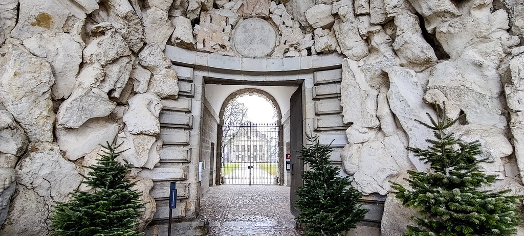
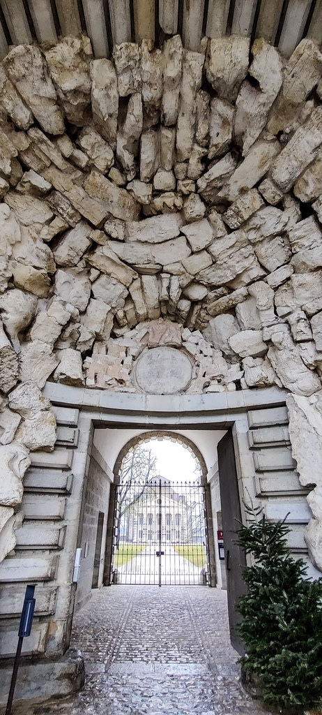
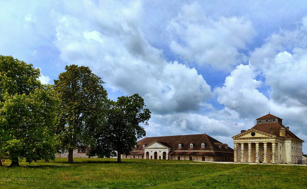
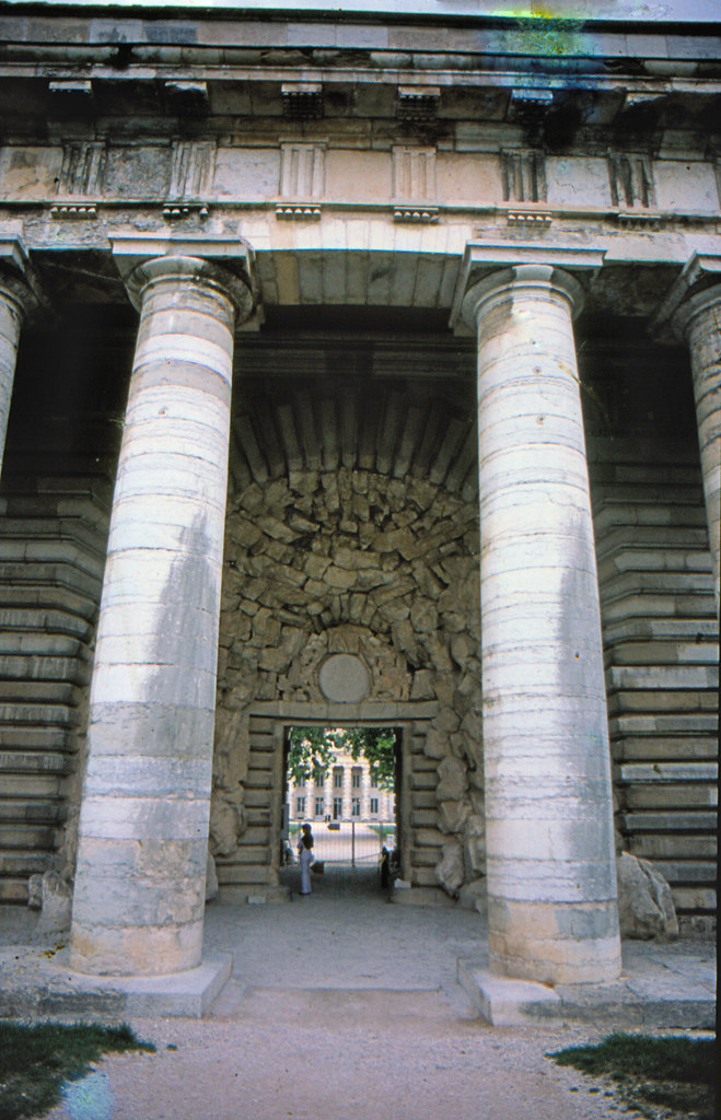
Photos Fourg
|
See all photos of Fourg :
Other photos of Fourg and nearby towns can be found here: photos Fourg
|
|
Fourg weather forecast
Find next hours and 7 days weather forecast for Fourg here : weather Fourg (with english metrics)
This is the last weather forecast for Fourg collected by the nearest observation station of Quingey.
Week Forecast:
The latest weather data for Fourg were collected Friday, 31 July 2026 at 08:02 from the nearest observation station of Quingey.
| Friday, July 31st |
30°C 18°C
58%
66%
|
Rain
Temperature Max: 30°C Temperature Min: 18°C
Precipitation Probability: 58% (Rain)
Percentage of sky occluded by clouds: 66%
Wind speed: 9 km/h North-East
Humidity: 50%° UV Index: 5
Sunrise: 06:14 Sunset: 21:10 |
|
| | Saturday, August 1st |
29°C 18°C
49%
47%
|
Rain
Temperature Max: 29°C Temperature Min: 18°C
Precipitation Probability: 49% (Rain)
Percentage of sky occluded by clouds: 47%
Wind speed: 6 km/h South-East
Humidity: 62%° UV Index: 7
Sunrise: 06:15 Sunset: 21:09 |
|
| | Sunday, August 2nd |
32°C 17°C
0%
23%
|
Mostly clear
Temperature Max: 32°C Temperature Min: 17°C
Precipitation Probability: 0%
Percentage of sky occluded by clouds: 23%
Wind speed: 6 km/h South-East
Humidity: 47%° UV Index: 7
Sunrise: 06:16 Sunset: 21:08 |
|
| | Monday, August 3rd |
33°C 20°C
48%
47%
|
Thunderstorms
Temperature Max: 33°C Temperature Min: 20°C
Precipitation Probability: 48% (Rain)
Percentage of sky occluded by clouds: 47%
Wind speed: 10 km/h North-East
Humidity: 41%° UV Index: 6
Sunrise: 06:17 Sunset: 21:06 |
|
|
Attribution: 
|
|
Other maps, hotels and towns in france
Find another town, zip code, department, region, ...
Quick links Fourg :
Make a link to this page of Fourg with the following code :
|
|
|
 French Version : http://www.cartesfrance.fr/carte-france-ville/25253_Fourg.html