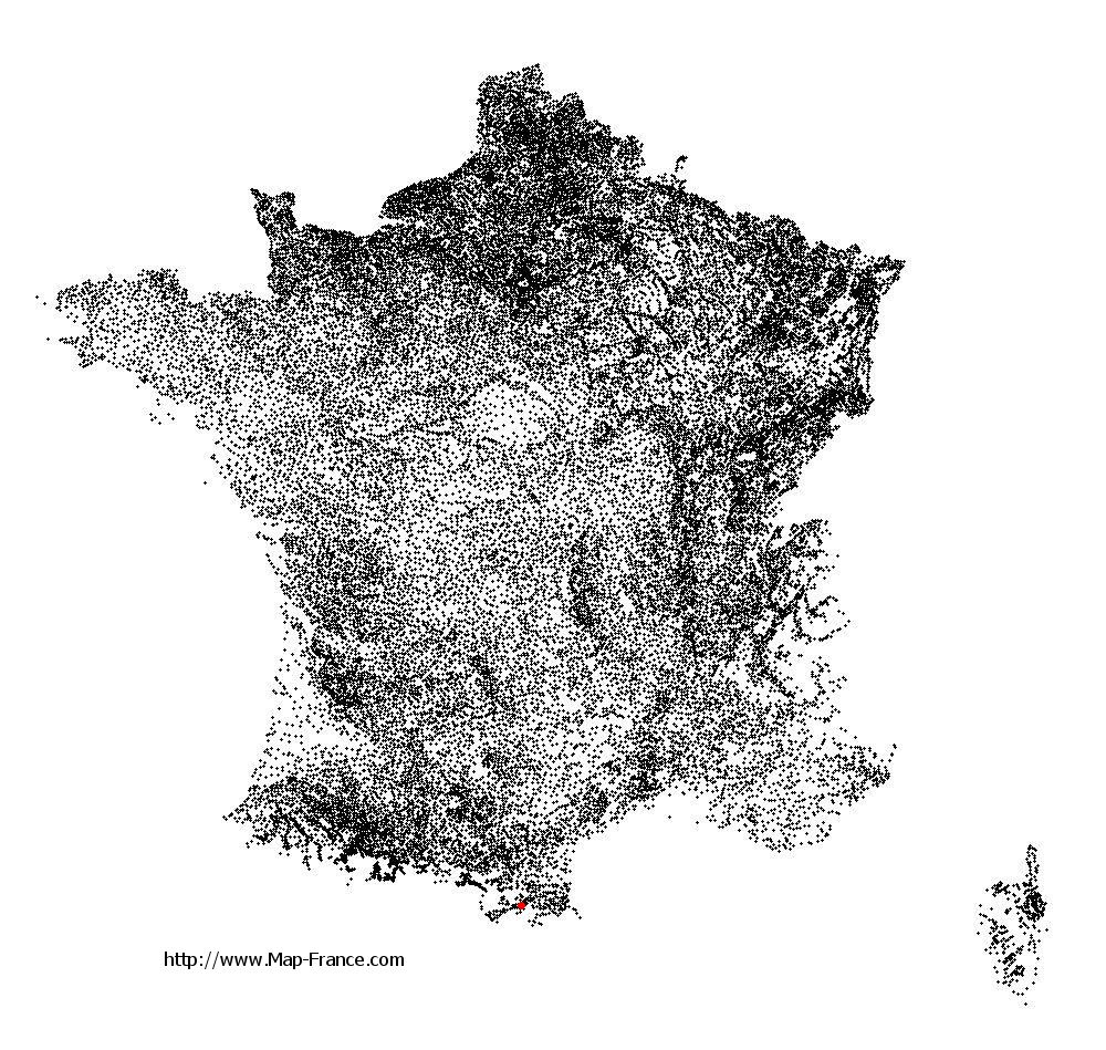
Fuilla on the relief France map in Lambert 93 coordinates
|

See the map of Fuilla in full screen (1000 x 949)
|
At left, here is the location of Fuilla on the relief France map in Lambert 93 coordinates.
Here are the altitudes of Fuilla :
- Town hall altitude of Fuilla is 540 meters
- Minimum altitude of Fuilla is 430 meters
- Maximum altitude of Fuilla is 1 171 meters
- Medium altitude of Fuilla is 801 meters
Here are the altitudes of Perpignan, prefecture of Pyrénées-Orientales department:
- Town hall altitude of Perpignan is 40 meters
- Minimum altitude of Perpignan is 8 meters
- Maximum altitude of Perpignan is 95 meters
- Medium altitude of Perpignan is 52 meters
Here are the altitudes of the french biggest cities:
Paris : 33 meters
Marseille : 20 meters
Lyon : 237 meters
Toulouse : 146 meters
Nice : 10 meters
Nantes : 20 meters
Strasbourg : 144 meters
Montpellier : 35 meters
Bordeaux : 16 meters
Lille : 20 meters
Rennes : 35 meters
Reims : 83 meters
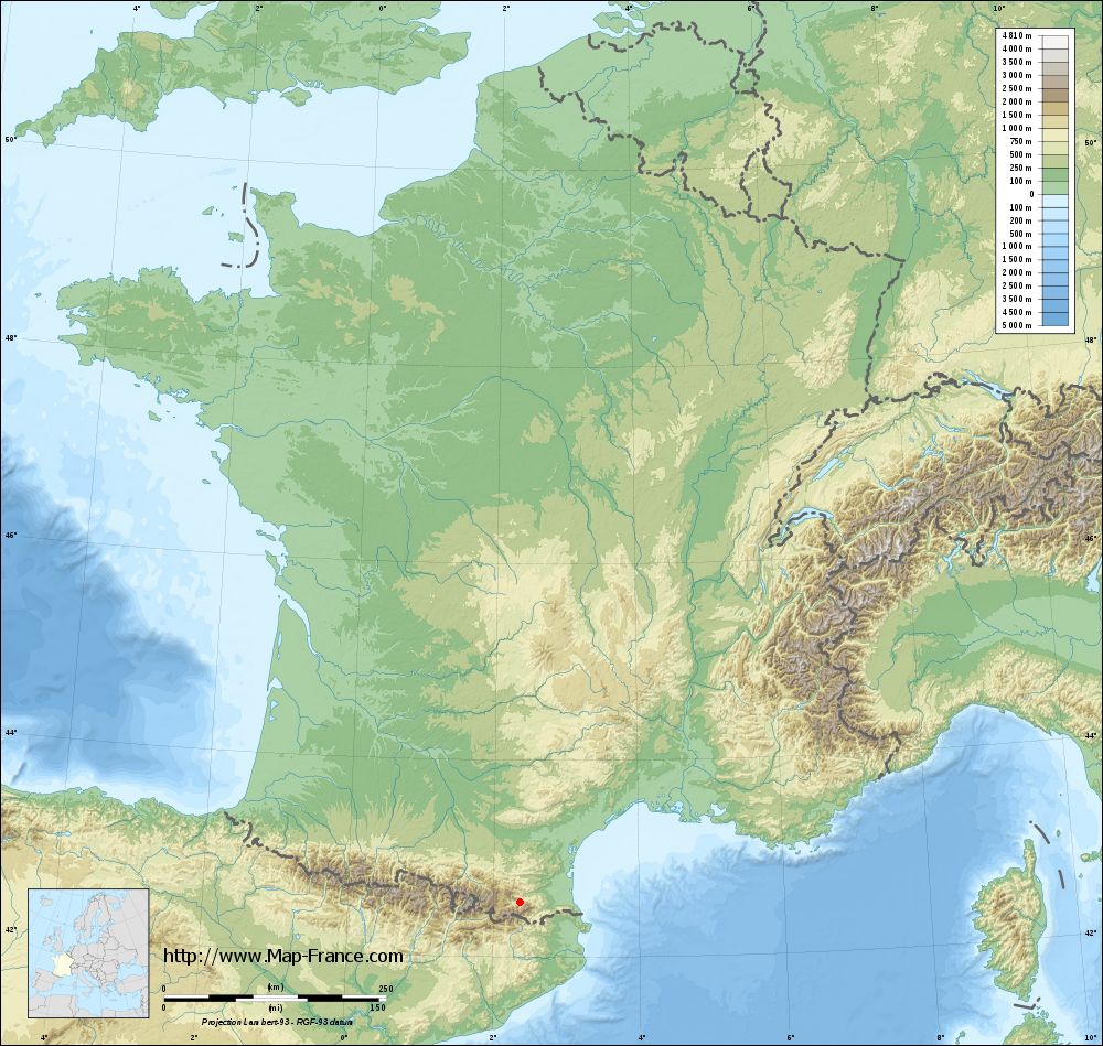
Click here for the terrain map of Fuilla in full screen:
Relief map of Fuilla
|
This relief map of Fuilla is reusable and modifiable by making a link to this page of the Map-France.com website or by using the given code :
|
Terrain base map of Fuilla
|
See the terrain base map of Fuilla in full screen (1000 x 949)
|
Small relief base map of Fuilla

|
This base map of Fuilla is reusable and modifiable by making a link to this page of the Map-France.com website or by using the given code :
|
Map of Fuilla with regions and prefectures
|
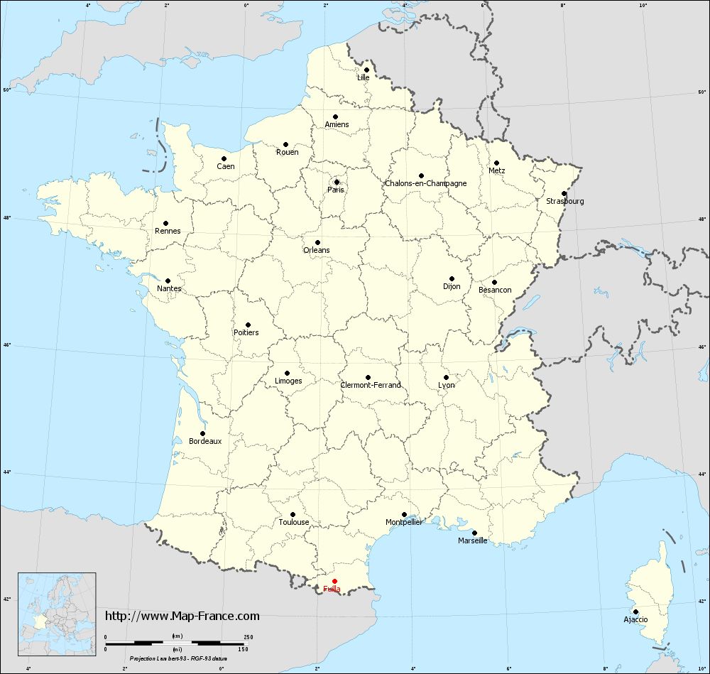
View the map of Fuilla in full screen (1000 x 949)
|
You will find the location of Fuilla on the map of France of regions in Lambert 93 coordinates. The town of Fuilla is located in the department of Pyrénées-Orientales of the french region Languedoc-Roussillon.
Geographical sexagesimal coordinates / GPS (WGS84):
Latitude: 42° 33' 43'' North
Longitude: 02° 21' 46'' East
Geographical decimal coordinates :
Latitude: 42.562 degrees (42.562° North)
Longitude: 2.361 degrees (2.361° East)
Lambert 93 coordinates :
X: 6 476 hectometers
Y: 61 627 hectometers
Lambert 2 coordinates :
X: 6 022 hectometers
Y: 17 287 hectometers
Below, the geographical coordinates of Perpignan, prefecture of the Pyrénées-Orientales department:
Geographical sexagesimal coordinates / GPS (WGS84):
Latitude: 42° 41' 51'' North
Longitude: 02° 53' 41'' East
Geographical decimal coordinates :
Latitude: 42.698 degrees (42.698° North)
Longitude: 2.893 degrees (2.893° East)
Lambert 93 coordinates :
X: 6 914 hectometers
Y: 61 776 hectometers
Lambert 2 coordinates :
X: 6 459 hectometers
Y: 17 440 hectometers
|
This map of Fuilla is reusable and modifiable by making a link to this page of the Map-France.com website or by using the given code :
|
Map of Fuilla with departments and prefectures
|
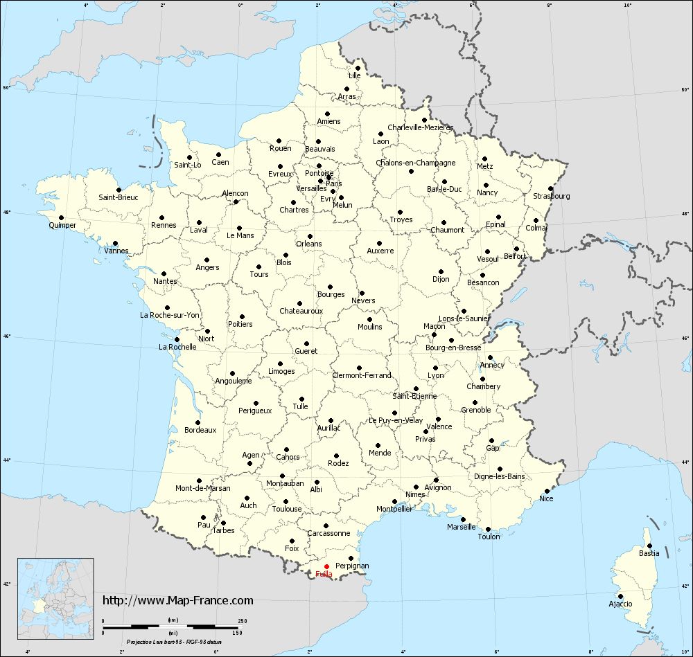
Voir la carte of Fuilla en grand format (1000 x 949)
|
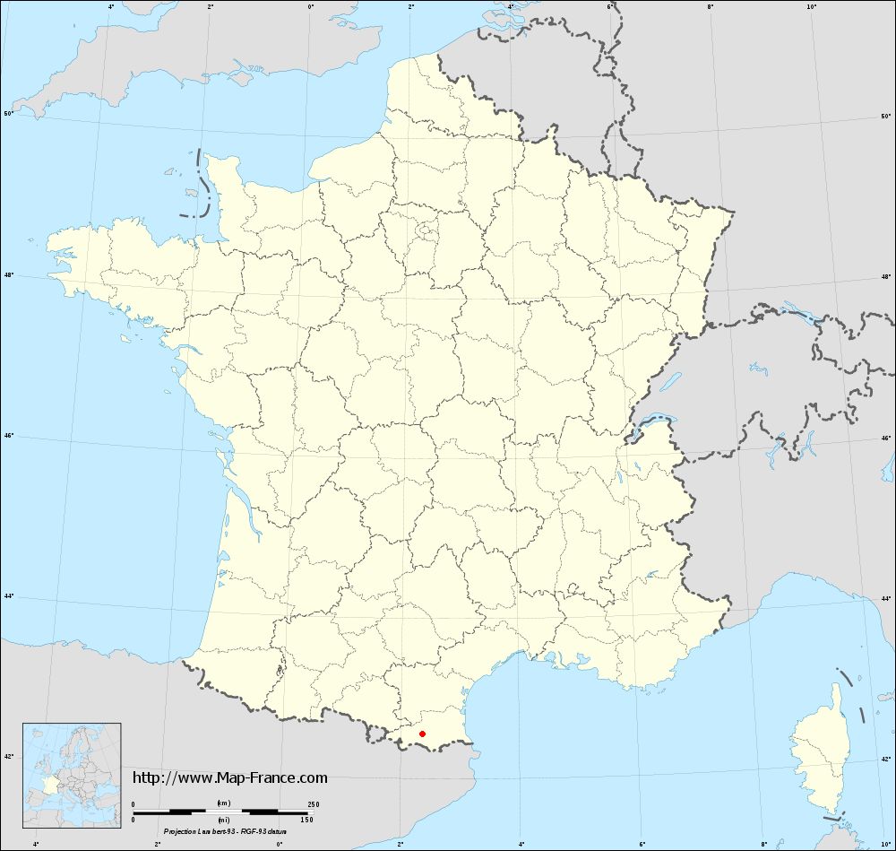
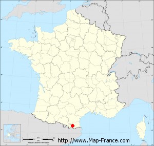
Here is the localization of Fuilla on the France map of departments in Lambert 93 coordinates. The city of Fuilla is shown on the map by a red point.
The town of Fuilla is located in the department of Pyrénées-Orientales of the french region Languedoc-Roussillon.
The latitude of Fuilla is 42.562 degrees North.
The longitude of Fuilla is 2.361 degrees East.
Here the distance between Fuilla and the biggest cities of France:
Distances are calculated as the crow flies (orthodromic distance)
Distance between Fuilla and Paris : 699.79 kilometers
Distance between Fuilla and Marseille : 260.27 kilometers
Distance between Fuilla and Lyon : 406.23 kilometers
Distance between Fuilla and Toulouse : 136.94 kilometers
Distance between Fuilla and Nice : 417.1 kilometers
Distance between Fuilla and Nantes : 602.03 kilometers
Distance between Fuilla and Strasbourg : 789.27 kilometers
Distance between Fuilla and Montpellier : 169.06 kilometers
Distance between Fuilla and Bordeaux : 346.12 kilometers
Distance between Fuilla and Lille : 897.65 kilometers
Distance between Fuilla and Rennes : 692.03 kilometers
Distance between Fuilla and Reims : 754.99 kilometers
Clic here to see the map of Fuilla in full screen:
Fuilla on the map of french departments
|
This administrative map of Fuilla is reusable and modifiable by making a link to this page of the Map-France.com website or by using the given code :
|
Administrative base maps of Fuilla
|
See the administrative base map of Fuilla in full screen (1000 x 949)
|
Small administrative base map of Fuilla
|
This base map administrative of Fuilla is reusable and modifiable by making a link to this page of the Map-France.com website or by using the given code :
|
 French Version : http://www.cartesfrance.fr