|
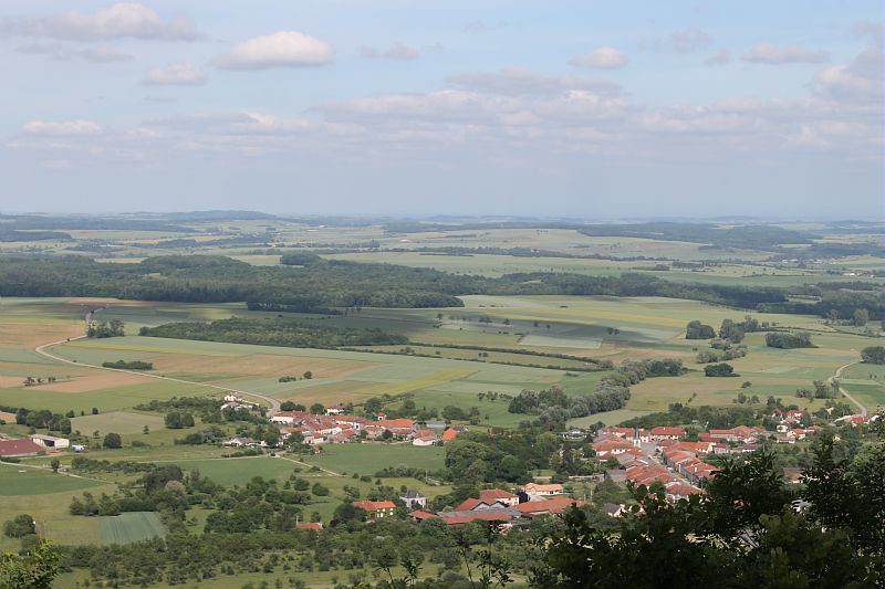
The village of Gélaucourt is a small village located north east of France. The town of Gélaucourt is located in the department of Meurthe-et-Moselle of the french region Lorraine. The town of Gélaucourt is located in the township of Colombey-les-Belles part of the district of Toul. The area code for Gélaucourt is 54218 (also known as code INSEE), and the Gélaucourt zip code is 54115.
Geography and map of Gélaucourt :
The altitude of the city hall of Gélaucourt is approximately 306 meters. The Gélaucourt surface is 2.26 km ². The latitude and longitude of Gélaucourt are 48.456 degrees North and 5.989 degrees East.
Nearby cities and towns of Gélaucourt are :
Battigny (54115) at 1.25 km, Lalœuf (54115) at 1.88 km, Favières (54115) at 2.58 km, Vandeléville (54115) at 3.07 km, Thorey-Lyautey (54115) at 3.21 km, Dommarie-Eulmont (54115) at 3.94 km, Saulxerotte (54115) at 3.97 km, Dolcourt (54170) at 4.01 km.
(The distances to these nearby towns of Gélaucourt are calculated as the crow flies)
Population and housing of Gélaucourt :
The population of Gélaucourt was 45 in 1999, 58 in 2006 and 61 in 2007. The population density of Gélaucourt is 26.99 inhabitants per km². The number of housing of Gélaucourt was 28 in 2007. These homes of Gélaucourt consist of 25 main residences, 2 second or occasional homes and 1 vacant homes. |
|
|
Hotel Gélaucourt
|
|
|
Book now ! Best Price Guaranteed, no booking fees, pay at the hotel with our partner Booking.com, leader in online hotel reservation.
Find all hotels of Gélaucourt : Hotel Gélaucourt
| |
|
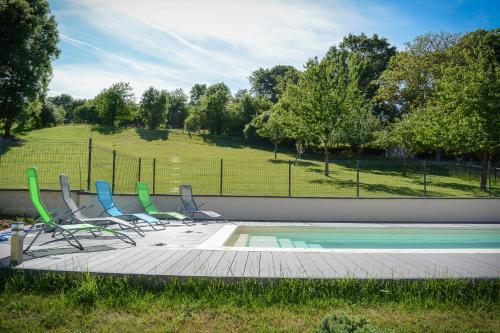
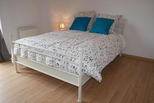
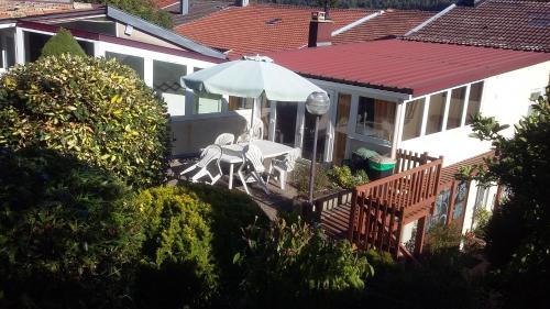
Guest accommodation : Le Repit

Situated in Favières in the Lorraine region, Le Repit features a terrace. It has pool views and free WiFi. The holiday home has a cable flat-screen TV and 2 bedrooms. There is ...
Address : 40 Rue Saint-Amon 54115 Favières
Distance Guest accommodation - Gélaucourt : 2.97 km
|
|
|
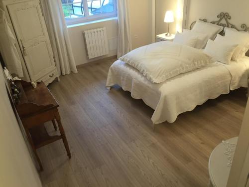
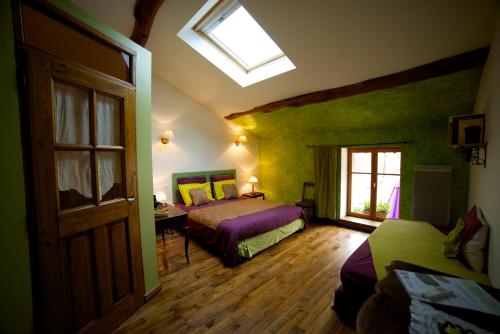
Bed and Breakfast : Chambres d'hôtes Le Mont d'Anon
Located in the heart of the countryside in Goviller, Le Mont d’Anon offers B&B accommodation set in a renovated farmhouse with an outdoor, heated swimming pool, garden and terra...
Price : from 78.00 €
Contact : 29, 31 grande rue 54330 Goviller
Distance Bed and Breakfast - Gélaucourt : 4.98 km
|
|
|
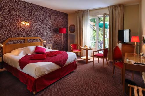
Hotel : Hotel- Restaurant La Haie Des Vignes
Hotel La Haie des Vignes is located in the Lorraine region countryside, between Nancy and Neufchâteau. It has motel-style rooms with private bathroom, TV and telephone. Free Wi...
Prices : from 49.00 €
to 96.00 €
Contact : Lieu Dit La Haie Des Vignes - Sortie 11 Autoroute A31 54170 Allain
Distance Hotel - Gélaucourt : 11.41 km
|
|
|
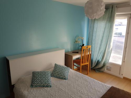
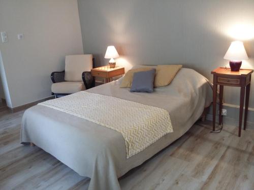
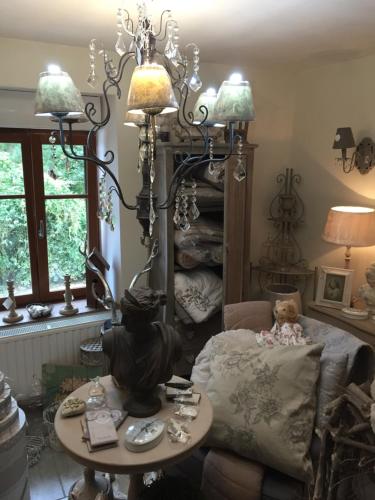
Bed and Breakfast : Crezilles Hôtes
Set in a 4-hectare park with a pond, stream, meadow and woods, Crezilles Hôtes is 800 metres from the centre of Crézilles. It offers free Wi-Fi access. The rooms at Crezilles H...
Rate : from 49.00 €
to 125.00 €
Contact : 1 lieu dit "l'eau salée" 54113 Crézilles
Distance Bed and Breakfast - Gélaucourt : 15.62 km
|
|
|
Bed and Breakfast : La Ferme des 3 Suissesses
Situated on farmland in the Vosges region, La Ferme des 3 Suissesses offers B&B accommodation with free Wi-Fi access in the village of Saint-Paul, just 5 km from the A31 motorwa...
Price : from 59.50 €
to 150.00 €
Address : 68 Rue de l'Eglise 88170 Saint-Paul
Distance Bed and Breakfast - Gélaucourt : 15.98 km
|
|
|
Hotel : Logis Burnel Et La Cle Des Champs
The Logis Burnel et la Clé des Champs is located in Rouvres en Xaintois, in the heart of Lorrain region of north eastern France. The hotel offers comfortable guestrooms with en...
Prices : from 72.00 €
to 138.00 €
Contact : 22, Rue Jeanne D'arc 88500 Rouvres-en-Xaintois
Distance Hotel - Gélaucourt : 16.44 km
|
|
|
Bed and Breakfast : Chambre DAUM
Set in Allamps in the Lorraine region, Chambre DAUM features a garden. Guests staying at this bed and breakfast have access to free WiFi, a fully equipped kitchen, and a terrace...
Rate : from 50.00 €
to 70.00 €
Contact : 13 Rue Pasteur 54112 Allamps
Distance Bed and Breakfast - Gélaucourt : 16.66 km
|
|
|
Guest accommodation : Gîte de la Chalade
Boasting accommodation with a terrace, Gîte de la Chalade is located in Allamps. It provides free WiFi and a garden. The holiday home consists of 2 separate bedrooms, 1 bathroo...
Contact : PARKING de l'eglise 13, rue Pasteur 54112 Allamps
Distance Guest accommodation - Gélaucourt : 16.66 km
|
|
|
Bed and Breakfast : Chambres d'hôtes Maison Crochet
Featuring free WiFi, Chambres d'hôtes Maison Crochet offers pet-friendly accommodation in Bulligny, 39 km from Nancy and 13 km from Toul. At this B&B, the rooms are fitted with...
Prices : from 65.00 €
to 85.00 €
Address : 7 rue saint vincent 54113 Bulligny
Distance Bed and Breakfast - Gélaucourt : 16.66 km
|
|
|
Guest accommodation : la madonnette

La madonnette offers accommodation in Ambacourt, just 4 km from Mazirot. Free WiFi is featured and free private parking is available on site. Rooms are fitted with a flat-scree...
Rate : from 40.00 €
to 55.00 €
Contact : 432 Rue Aubert 88500 Ambacourt
Distance Guest accommodation - Gélaucourt : 16.74 km
|
|
Find another hotel near Gélaucourt : Gélaucourt hotels list
|
Map of Gélaucourt
|
|
Map of Gélaucourt :
At right you can find the localization of Gélaucourt on the map of France. Below, this is the satellite map of Gélaucourt. A road map, and maps templates of Gélaucourt are available here : "road map of Gélaucourt". This map show Gélaucourt seen by the satellite of Google Map. To see the streets of Gélaucourt or move on another zone, use the buttons "zoom" and "map" on top of this dynamic map.
Search on the map of Gélaucourt :
To search hotels, housings, tourist information office, administrations or other services, use the Google search integrated to the map on the following page : "map Gélaucourt".
Hotels of Gélaucourt are listed on the map with the following icons: 
The map of Gélaucourt is centred in the following coordinates :
|

|
|
|
|
Print the map of Gélaucourt

Print the map of Gélaucourt : map of Gélaucourt
|
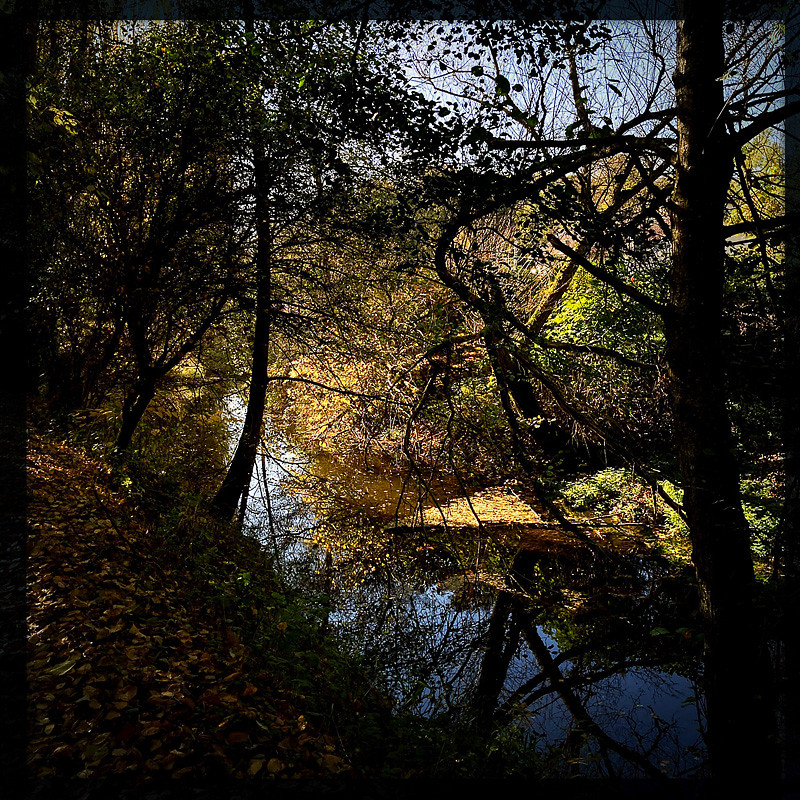
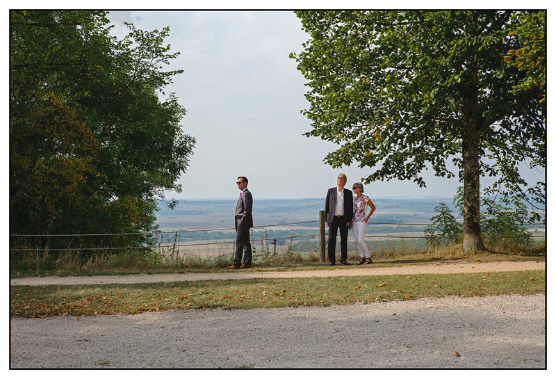
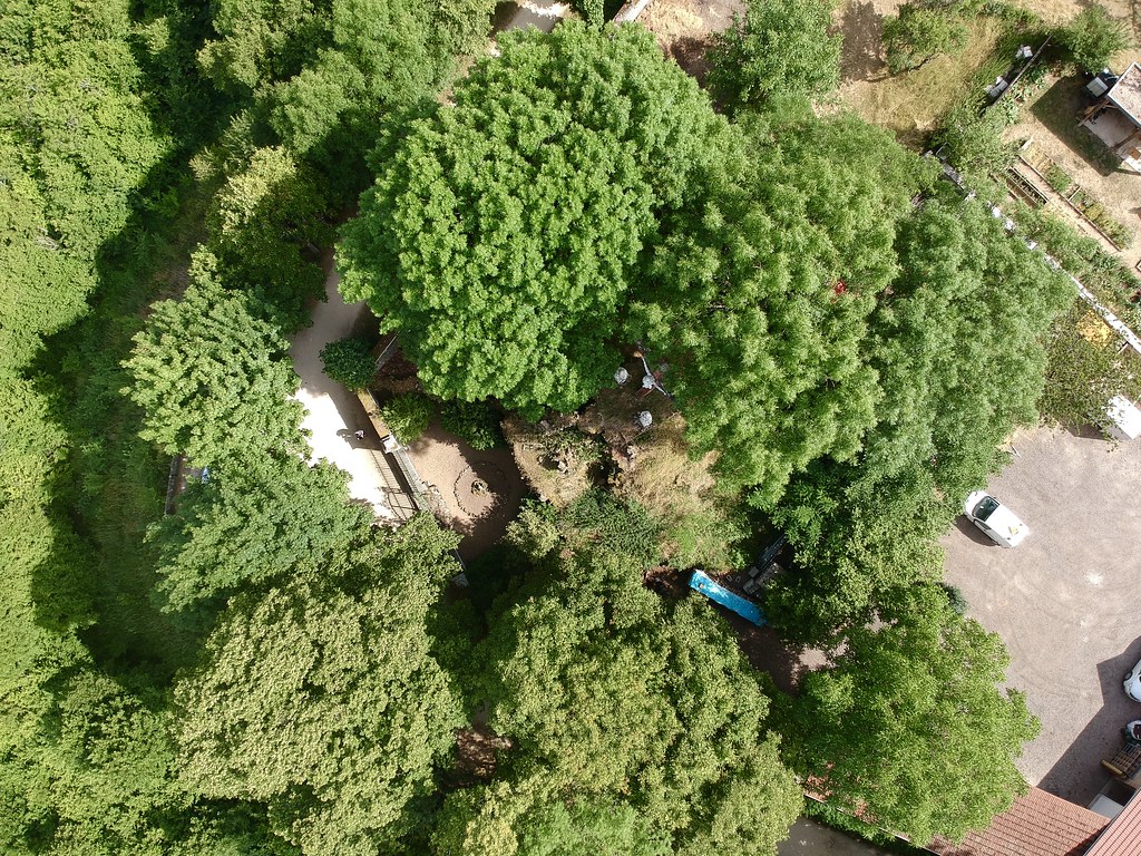
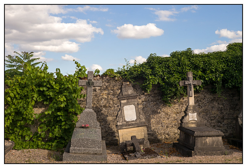
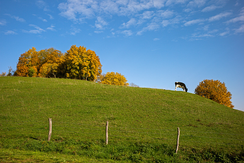
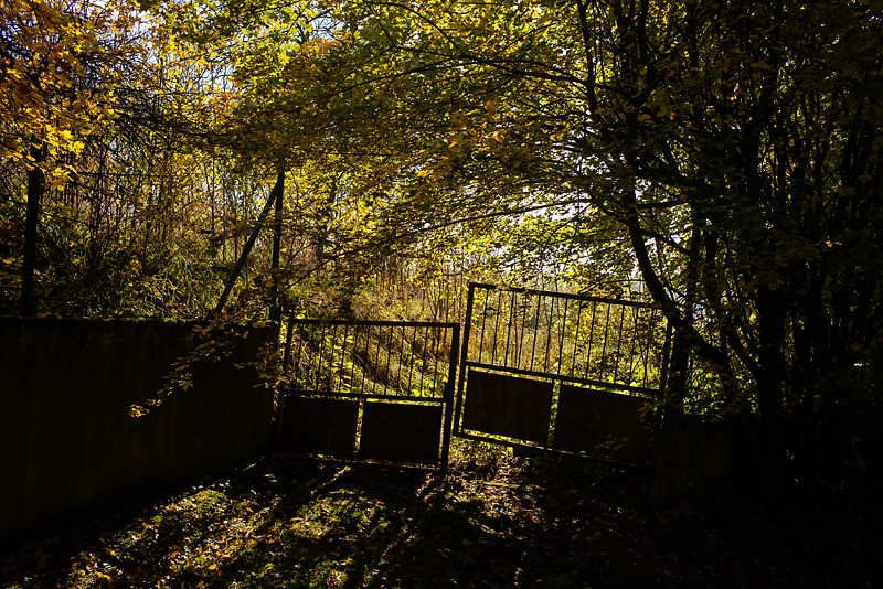
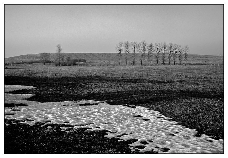
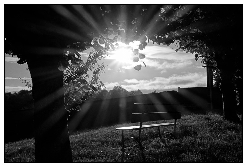
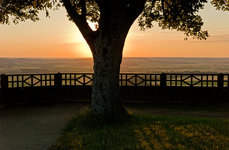
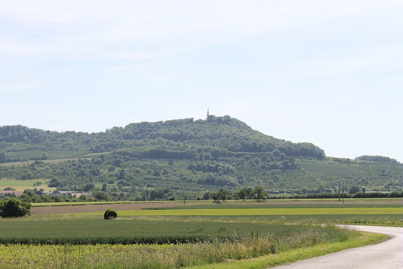
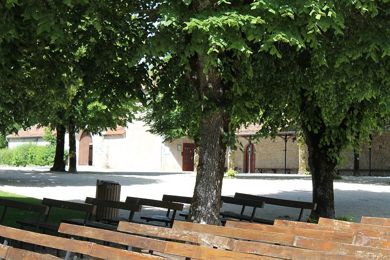
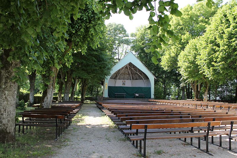
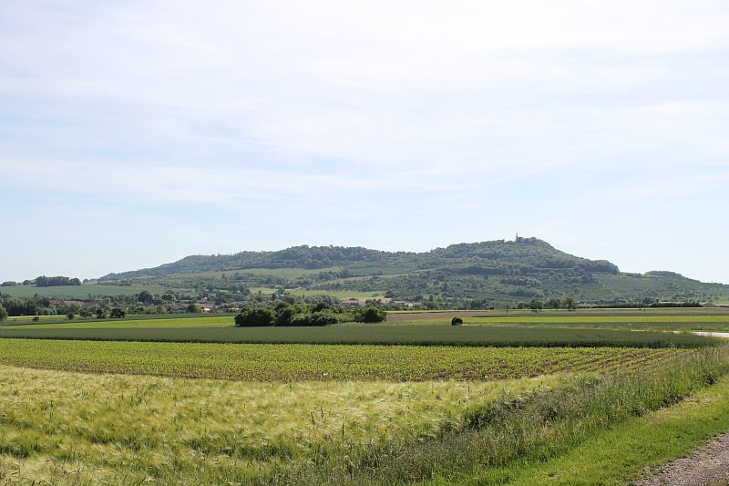
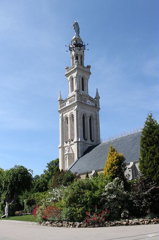
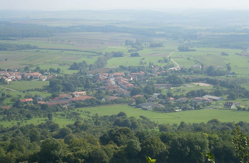
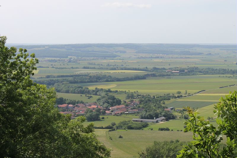
Photos Gélaucourt
|
See all photos of Gélaucourt :
Other photos of Gélaucourt and nearby towns can be found here: photos Gélaucourt
|
|
Gélaucourt weather forecast
Find next hours and 7 days weather forecast for Gélaucourt here : weather Gélaucourt (with english metrics)
This is the last weather forecast for Gélaucourt collected by the nearest observation station of Colombey-les-Belles.
Week Forecast:
The latest weather data for Gélaucourt were collected Friday, 31 July 2026 at 08:04 from the nearest observation station of Colombey-les-Belles.
| Friday, July 31st |
30°C 18°C
52%
63%
|
Rain
Temperature Max: 30°C Temperature Min: 18°C
Precipitation Probability: 52% (Rain)
Percentage of sky occluded by clouds: 63%
Wind speed: 10 km/h East
Humidity: 51%° UV Index: 5
Sunrise: 06:09 Sunset: 21:15 |
|
| | Saturday, August 1st |
28°C 17°C
50%
62%
|
Drizzle
Temperature Max: 28°C Temperature Min: 17°C
Precipitation Probability: 50% (Rain)
Percentage of sky occluded by clouds: 62%
Wind speed: 6 km/h South-East
Humidity: 57%° UV Index: 6
Sunrise: 06:10 Sunset: 21:14 |
|
| | Sunday, August 2nd |
31°C 16°C
0%
25%
|
Mostly clear
Temperature Max: 31°C Temperature Min: 16°C
Precipitation Probability: 0%
Percentage of sky occluded by clouds: 25%
Wind speed: 6 km/h Sout-East
Humidity: 46%° UV Index: 7
Sunrise: 06:12 Sunset: 21:12 |
|
| | Monday, August 3rd |
34°C 18°C
37%
55%
|
Thunderstorms
Temperature Max: 34°C Temperature Min: 18°C
Precipitation Probability: 37% (Rain)
Percentage of sky occluded by clouds: 55%
Wind speed: 10 km/h North
Humidity: 46%° UV Index: 6
Sunrise: 06:13 Sunset: 21:11 |
|
|
Attribution: 
|
|
Other maps, hotels and towns in france
Find another town, zip code, department, region, ...
Quick links Gélaucourt :
Make a link to this page of Gélaucourt with the following code :
|
|
|
 French Version : http://www.cartesfrance.fr/carte-france-ville/54218_Gelaucourt.html