|
The village of Genneteil is a small village located north west of France. The town of Genneteil is located in the department of Maine-et-Loire of the french region Pays de la Loire. The town of Genneteil is located in the township of Noyant part of the district of Saumur. The area code for Genneteil is 49150 (also known as code INSEE), and the Genneteil zip code is 49490.
Geography and map of Genneteil :
The altitude of the city hall of Genneteil is approximately 65 meters. The Genneteil surface is 35.95 km ². The latitude and longitude of Genneteil are 47.591 degrees North and 0.048 degrees East.
Nearby cities and towns of Genneteil are :
Savigné-sous-le-Lude (72800) at 3.06 km, Chigné (49490) at 3.11 km, Chavaignes (49490) at 5.64 km, Lasse (49490) at 6.87 km, Vaulandry (49150) at 6.94 km, Auverse (49490) at 8.09 km, Dissé-sous-le-Lude (72800) at 8.15 km, Pontigné (49150) at 8.20 km.
(The distances to these nearby towns of Genneteil are calculated as the crow flies)
Population and housing of Genneteil :
The population of Genneteil was 294 in 1999, 340 in 2006 and 346 in 2007. The population density of Genneteil is 9.62 inhabitants per km². The number of housing of Genneteil was 195 in 2007. These homes of Genneteil consist of 160 main residences, 23 second or occasional homes and 12 vacant homes. |
|
|
Hotel Genneteil
|
|
|
Book now ! Best Price Guaranteed, no booking fees, pay at the hotel with our partner Booking.com, leader in online hotel reservation.
Find all hotels of Genneteil : Hotel Genneteil
| |
|
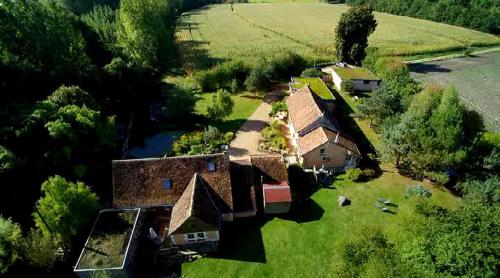
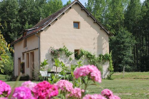
Bed and Breakfast : Haute Perche
Located in Genneteil, the B&B Haute Perche has a private garden, a terrace and provides 5 bikes for rental. It is set in a micro-farm with geese and sheep. Free parking is offer...
Address : haute perche 49490 Genneteil
Distance Bed and Breakfast - Genneteil : 3.16 km
|
|
|
Bed and Breakfast : Moulin de la Diversiere

Situated in Savigné-sous-le-Lude, 10.5 km from La Flèche Zoo, Moulin de la Diversiere is set in a former watermill on the edge of a river. It features a 1 hectare wooded park, o...
Contact : Moulin de la Diversiere 72800 Savigné-sous-le-Lude
Distance Bed and Breakfast - Genneteil : 4.11 km
|
|
|
Bed and Breakfast : Les Bardinieres
Les Bardinieres offers accommodation in Clefs. Free private parking is available on site. La Flèche Zoo is a 10-minute drive away. The family suite provides a bathroom fitted w...
Prices : from 60.00 €
to 100.00 €
Contact : Vaulandry Les Bardinieres 49150 Vaulandry
Distance Bed and Breakfast - Genneteil : 4.98 km
|
|
|
Guest accommodation : La Cour Du Bois
Offering a barbecue, La Cour Du Bois is situated in the small village of Chigné, 20 km from La Flèche Zoo and Baugé Golf Course. Le Mans is 48 km from the property. Free private...
Contact : La Cour Du Bois 49490 Chigné
Distance Guest accommodation - Genneteil : 5.91 km
|
|
|
Guest accommodation : La Cerniére

Situated in Noyant, La Cerniére offers accommodation with a terrace and free WiFi. Featuring a patio, all units include a seating area, a flat-screen TV with satellite channels...
Address : lesley Bentley,la Cerniére, Deneze Sous Le Lude 49490 Noyant
Distance Guest accommodation - Genneteil : 9.03 km
|
|
|
Bed and Breakfast : Les Roberderies
With an outdoor swimming pool, Les Roberderies is 1 km from the centre of Broc and 11 km from the Château de Lude. It offers a shared living room and a garden with barbecue faci...
Prices : from 65.00 €
to 110.00 €
Contact : Les Roberderies 49490 Broc
Distance Bed and Breakfast - Genneteil : 9.12 km
|
|
|
Bed and Breakfast : Manoir de Chandio
Situated in Clefs in the Pays de la Loire region, Manoir de Chandio features a garden. Guests staying at this bed and breakfast have access to free WiFi. A continental breakfas...
Contact : 1 Rue du canard, Clefs 49150 Clefs
Distance Bed and Breakfast - Genneteil : 9.73 km
|
|
|
Bed and Breakfast : La Foutelaie
Located just a 10-minute drive from La Flèche, La Foutelaie offers B&B accommodation with a garden. Decorated individually, all rooms are located in an annex, independent from ...
Price : from 70.00 €
Contact : La foutelaie 49150 Clefs
Distance Bed and Breakfast - Genneteil : 9.74 km
|
|
|
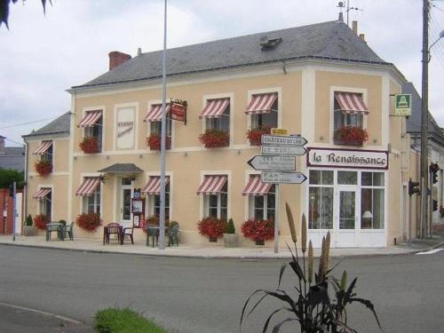
This hotel rich with architectural heritage is situated in the heart of Le Lude. It boards the Loire Valley winery roads and is 700 metres from Chateau du Lude. It offers free W...
Prices : from 88.00 €
to 97.00 €
Address : 2 Avenue De La Libération 72800 Le Lude
Distance Hotel - Genneteil : 9.98 km
|
|

|
Hotel : Logis L'Auberge Alsacienne
The Auberge Alsacienne provides a personalised welcome and unique accommodation in a quiet location 35 minutes outside of Le Mans. There is free Wi-Fi and a gourmet restaurant. ...
Rate : from 80.00 €
to 108.00 €
Contact : 14 Rue De La Boule D'or 72800 Le Lude
Distance Hotel - Genneteil : 10.02 km
|
|
Find another hotel near Genneteil : Genneteil hotels list
|
Map of Genneteil
|
|
Map of Genneteil :
At right you can find the localization of Genneteil on the map of France. Below, this is the satellite map of Genneteil. A road map, and maps templates of Genneteil are available here : "road map of Genneteil". This map show Genneteil seen by the satellite of Google Map. To see the streets of Genneteil or move on another zone, use the buttons "zoom" and "map" on top of this dynamic map.
Search on the map of Genneteil :
To search hotels, housings, tourist information office, administrations or other services, use the Google search integrated to the map on the following page : "map Genneteil".
Hotels of Genneteil are listed on the map with the following icons: 
The map of Genneteil is centred in the following coordinates :
|

|
|
|
|
Print the map of Genneteil

Print the map of Genneteil : map of Genneteil
|
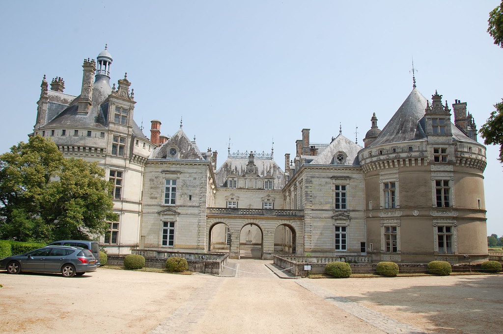
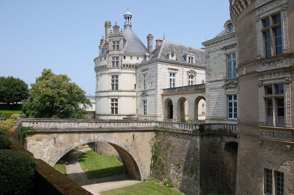
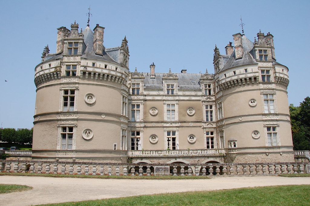
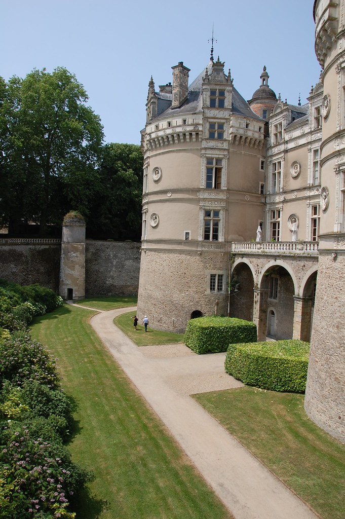
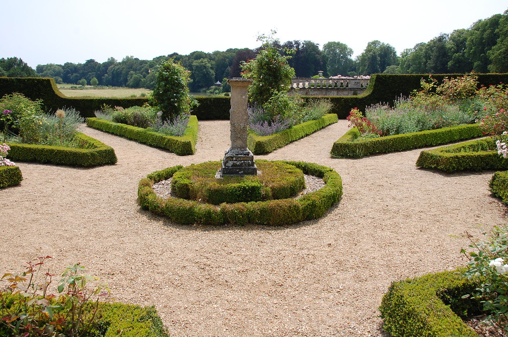
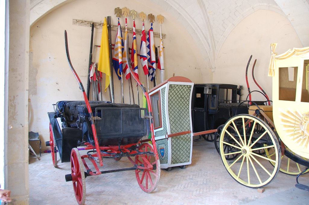
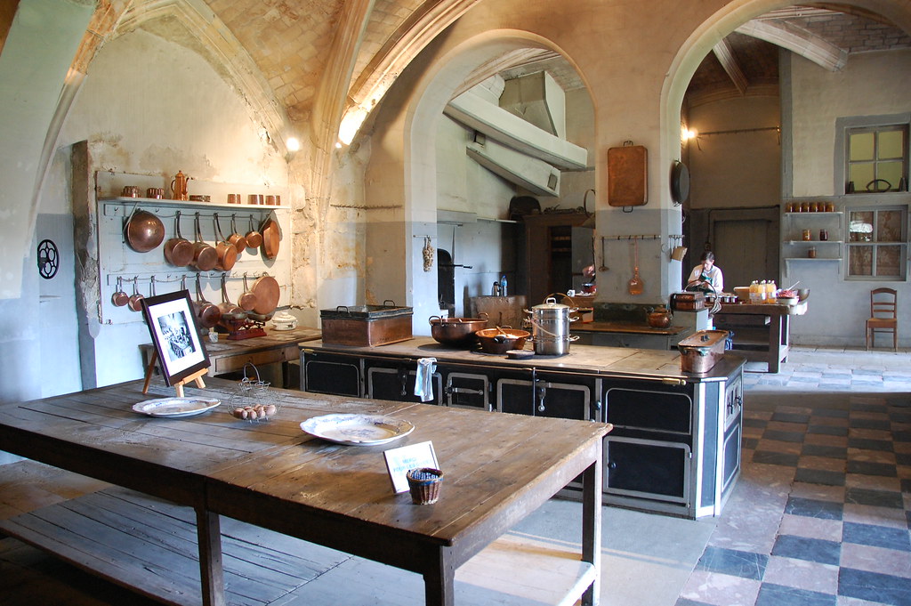
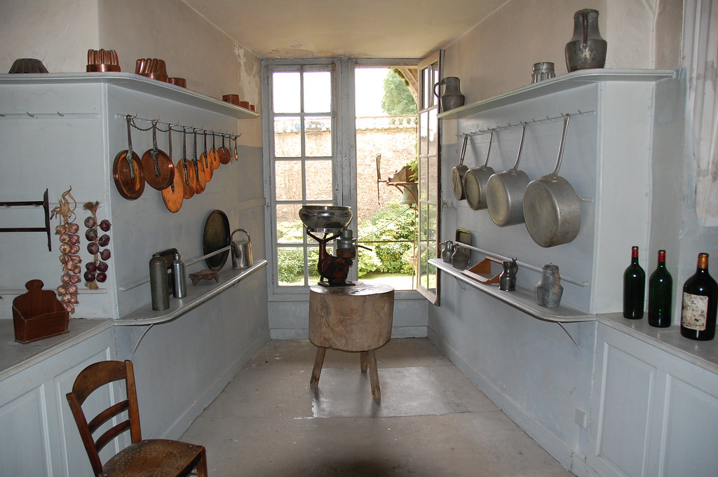
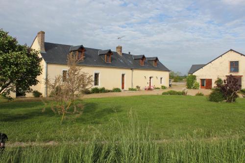
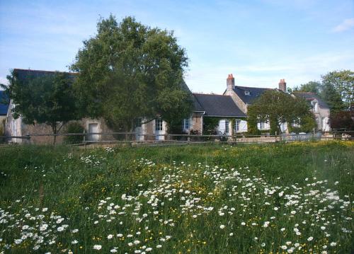
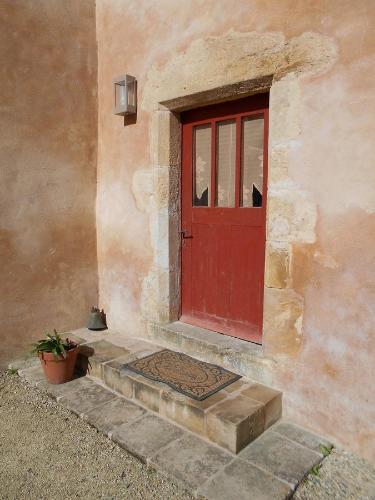
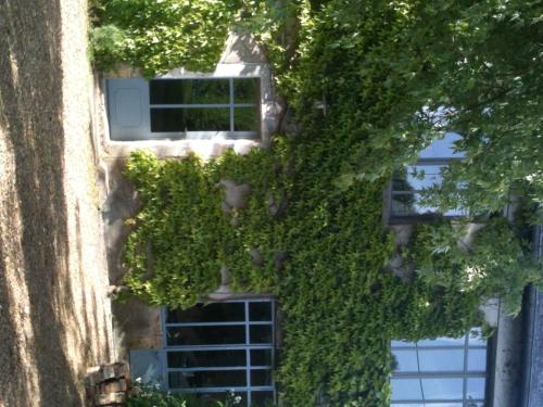
Photos Genneteil
|
See all photos of Genneteil :
Other photos of Genneteil and nearby towns can be found here: photos Genneteil
|
|
Genneteil weather forecast
Find next hours and 7 days weather forecast for Genneteil here : weather Genneteil (with english metrics)
This is the last weather forecast for Genneteil collected by the nearest observation station of Noyant.
Week Forecast:
The latest weather data for Genneteil were collected Friday, 31 July 2026 at 11:03 from the nearest observation station of Noyant.
| Friday, July 31st |
28°C 18°C
0%
78%
|
Mostly cloudy
Temperature Max: 28°C Temperature Min: 18°C
Precipitation Probability: 0%
Percentage of sky occluded by clouds: 78%
Wind speed: 10 km/h South-East
Humidity: 61%° UV Index: 6
Sunrise: 06:36 Sunset: 21:35 |
|
| | Saturday, August 1st |
27°C 14°C
0%
55%
|
Partly cloudy
Temperature Max: 27°C Temperature Min: 14°C
Precipitation Probability: 0%
Percentage of sky occluded by clouds: 55%
Wind speed: 9 km/h South
Humidity: 45%° UV Index: 7
Sunrise: 06:37 Sunset: 21:34 |
|
| | Sunday, August 2nd |
30°C 15°C
0%
56%
|
Partly cloudy
Temperature Max: 30°C Temperature Min: 15°C
Precipitation Probability: 0%
Percentage of sky occluded by clouds: 56%
Wind speed: 10 km/h Sout-East
Humidity: 44%° UV Index: 6
Sunrise: 06:38 Sunset: 21:32 |
|
| | Monday, August 3rd |
32°C 19°C
28%
74%
|
Mostly cloudy
Temperature Max: 32°C Temperature Min: 19°C
Precipitation Probability: 28% (Rain)
Percentage of sky occluded by clouds: 74%
Wind speed: 10 km/h North
Humidity: 50%° UV Index: 5
Sunrise: 06:40 Sunset: 21:31 |
|
|
Attribution: 
|
|
Other maps, hotels and towns in france
Find another town, zip code, department, region, ...
Quick links Genneteil :
Make a link to this page of Genneteil with the following code :
|
|
|
 French Version : http://www.cartesfrance.fr/carte-france-ville/49150_Genneteil.html