|
The village of Germagnat is a small village located south east of France. The town of Germagnat is located in the department of Ain of the french region Rhône-Alpes. The town of Germagnat is located in the township of Treffort-Cuisiat part of the district of Bourg-en-Bresse. The area code for Germagnat is 01172 (also known as code INSEE), and the Germagnat zip code is 01250.
Geography and map of Germagnat :
The altitude of the city hall of Germagnat is approximately 340 meters. The Germagnat surface is 9.48 km ². The latitude and longitude of Germagnat are 46.31 degrees North and 5.448 degrees East.
Nearby cities and towns of Germagnat are :
Montfleur (39320) at 2.23 km, Pouillat (01250) at 2.45 km, Aromas (39240) at 3.17 km, Villeneuve-lès-Charnod (39240) at 3.70 km, Charnod (39240) at 3.96 km, Montagna-le-Templier (39320) at 4.85 km, Pressiat (01370) at 5.08 km, Chavannes-sur-Suran (01250) at 5.37 km.
(The distances to these nearby towns of Germagnat are calculated as the crow flies)
Population and housing of Germagnat :
The population of Germagnat was 92 in 1999, 133 in 2006 and 140 in 2007. The population density of Germagnat is 14.77 inhabitants per km². The number of housing of Germagnat was 95 in 2007. These homes of Germagnat consist of 62 main residences, 24 second or occasional homes and 8 vacant homes. |
|
|
Hotel Germagnat
|
|
|
Book now ! Best Price Guaranteed, no booking fees, pay at the hotel with our partner Booking.com, leader in online hotel reservation.
Find all hotels of Germagnat : Hotel Germagnat
| |
|
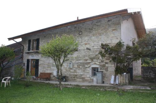
Guest accommodation : Gîte et Chambre d'hôtes LES TROIS COLLINES
Located in Cuisiat in the Rhône-Alps region, Gîte et Chambre d'hôtes LES TROIS COLLINES has a terrace and garden views. Free WiFi is provided. This holiday home comes with 1 be...
Address : CUISIAT 25 rue principale, 01370 Cuisiat
Distance Guest accommodation - Germagnat : 4.62 km
|
|
|
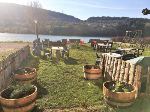
Bed and Breakfast : Terres de la Grange
Terres de la Grange is situated in Cuisiat. With mountain views, this accommodation offers a terrace. The bed and breakfast includes a kitchenette with a microwave and a fridge...
Price : from 66.00 €
to 140.00 €
Contact : 347 chemin des Lavocats 01370 Cuisiat
Distance Bed and Breakfast - Germagnat : 5.72 km
|
|
|
Guest accommodation : Sweet Home
Boasting accommodation with a terrace, Sweet Home is set in Villechantria. This holiday home offers barbecue facilities. The holiday home features 1 bedroom, a living room, and...
Contact : 32 Rue de la Croix-Rousse 39320 Villechantria
Distance Guest accommodation - Germagnat : 6.65 km
|
|
|
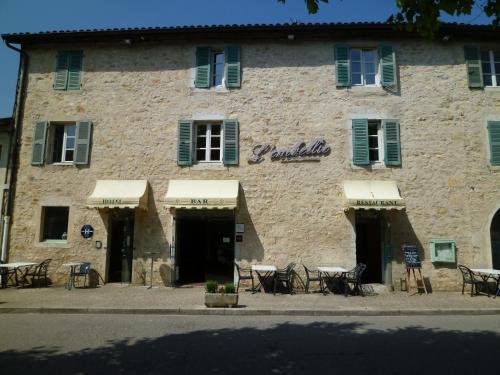
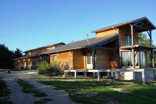
Hotel : L'embellie

Hotel L’Embellie is located in the medieval village of Treffort Cuisiat, in the Rhone-Alpes region. It offers en suite rooms with satellite TV and free Wi-Fi internet access. ...
Rate : from 55.00 €
to 130.00 €
Contact : Place Du Champ De Foire 01370 Treffort
Distance Hotel - Germagnat : 7.50 km
|
|
|
Guest accommodation : Gîte
Gîte is located in village of Thoirette, just 170 metres from L’Ain River. Free WiFi access is available in this holiday home. The holiday home features a flat-screen TV and so...
Price : from 55.00 €
to 85.00 €
Address : 53 Grande Rue 39240 Thoirette
Distance Guest accommodation - Germagnat : 7.73 km
|
|
|
Guest accommodation : Maison Vacances Pieds Dans L'eau
Maison Vacances Pieds Dans L'eau is a Detached holiday home situated in Thoirette in the Franche-Comté Region and is 90 km from Geneva. The property is 70 km from Les Rousses an...
Contact : 4 Route De Coisia 39240 Thoirette
Distance Guest accommodation - Germagnat : 8.41 km
|
|
|
Bed and Breakfast : Le Clocher
Bed and Breakfast Le Clocher is set in a Haussmannian house with a sun terrace offering panoramic views over the Suran Valley. It is located in the southern Jura mountains, 100 ...
Rate : from 76.00 €
to 136.00 €
Contact : 73 Rue De La Cotette 39320 Saint-Julien
Distance Bed and Breakfast - Germagnat : 9.32 km
|
|
|
Guest accommodation : Gîte La Chandelette
Boasting accommodation with a terrace, Gîte La Chandelette is set in Coisia. The holiday home has mountain views and is 39 km from Bourg-en-Bresse. The holiday home is equipped...
Price : from 65.00 €
to 190.00 €
Contact : 3 rue du centre 39240 Coisia
Distance Guest accommodation - Germagnat : 10.31 km
|
|
|
Hotel : Au Moulin Du Pont
Providing free WiFi, Au Moulin Du Pont is located in Samognat. At the hotel, all rooms have a wardrobe, a flat-screen TV and a private bathroom. A buffet breakfast is served d...
Prices : from 56.00 €
to 94.00 €
Address : Moulin du Pont 01580 Samognat
Distance Hotel - Germagnat : 10.76 km
|
|
|
Guest accommodation : Redspring Chambres d'Hôtes
Redspring Guests Rooms is located in Senaud. Free private parking is available on site. All rooms are fitted with a flat-screen TV. You will find a kettle in the room. Every ro...
Rate : from 65.00 €
to 70.00 €
Contact : rue d'Ecuria 39160 Coligny
Distance Guest accommodation - Germagnat : 11.28 km
|
|
Find another hotel near Germagnat : Germagnat hotels list
|
Map of Germagnat
|
|
Map of Germagnat :
At right you can find the localization of Germagnat on the map of France. Below, this is the satellite map of Germagnat. A road map, and maps templates of Germagnat are available here : "road map of Germagnat". This map show Germagnat seen by the satellite of Google Map. To see the streets of Germagnat or move on another zone, use the buttons "zoom" and "map" on top of this dynamic map.
Search on the map of Germagnat :
To search hotels, housings, tourist information office, administrations or other services, use the Google search integrated to the map on the following page : "map Germagnat".
Hotels of Germagnat are listed on the map with the following icons: 
The map of Germagnat is centred in the following coordinates :
|

|
|
|
|
Print the map of Germagnat

Print the map of Germagnat : map of Germagnat
|
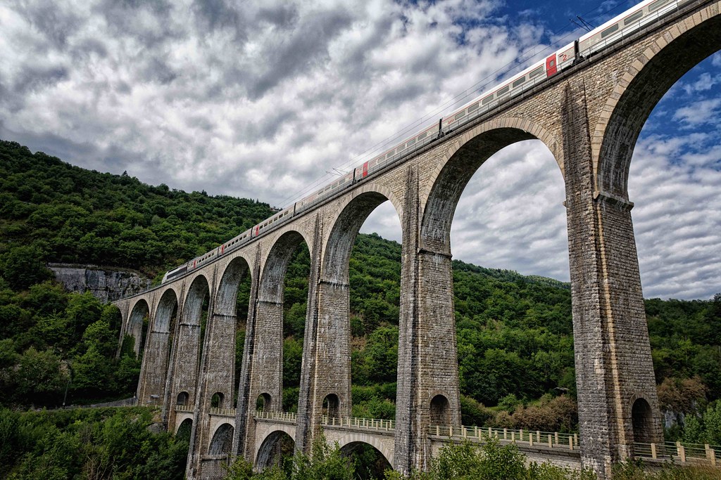
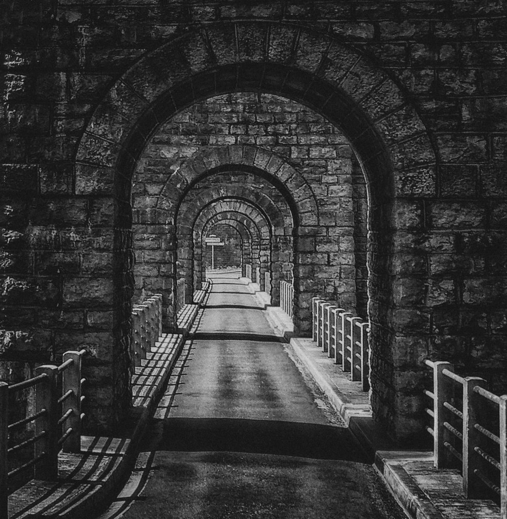
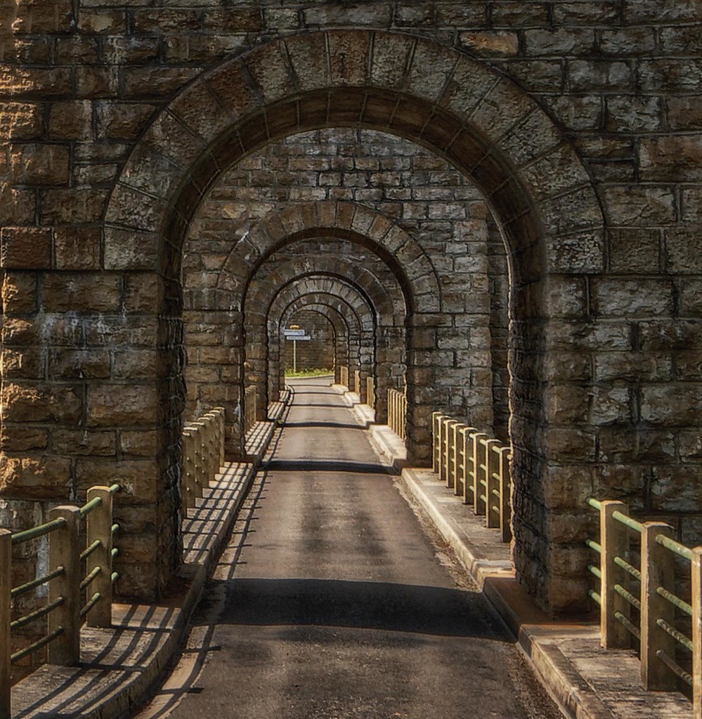
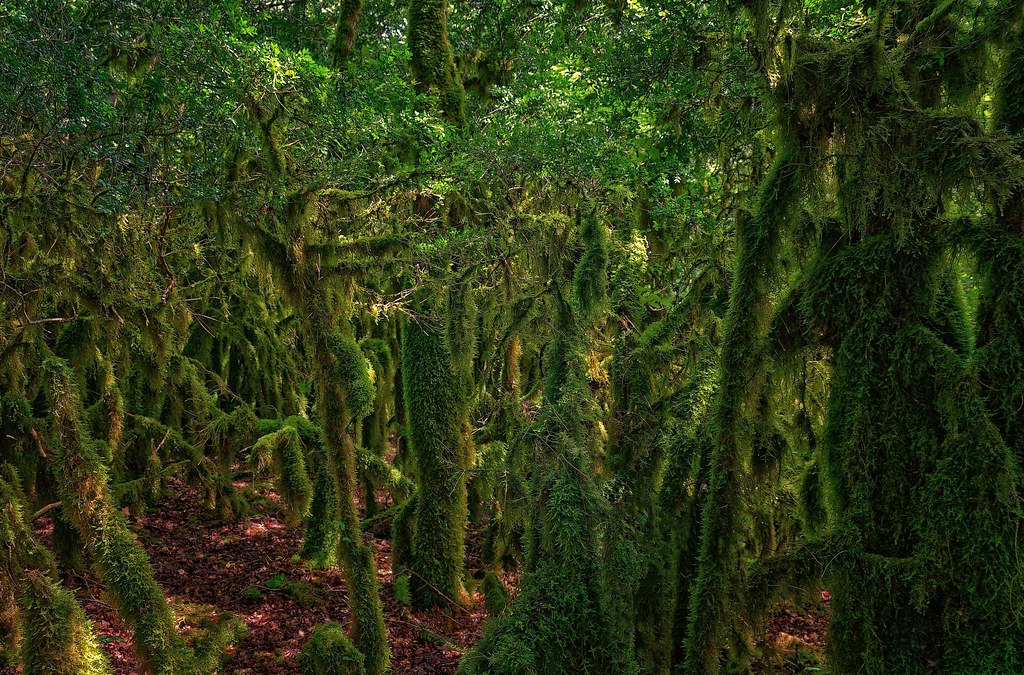
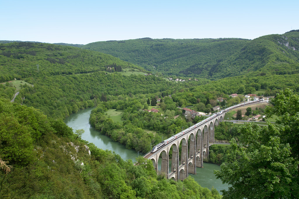
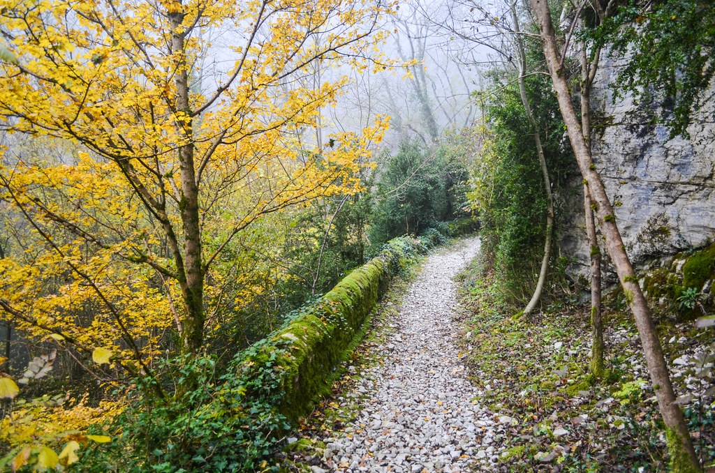
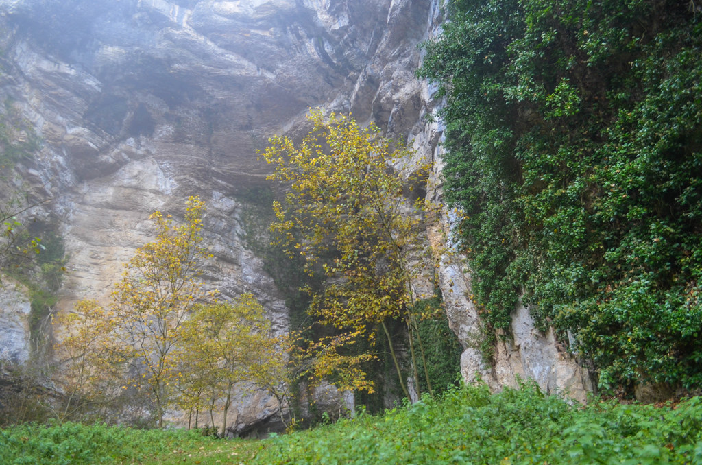
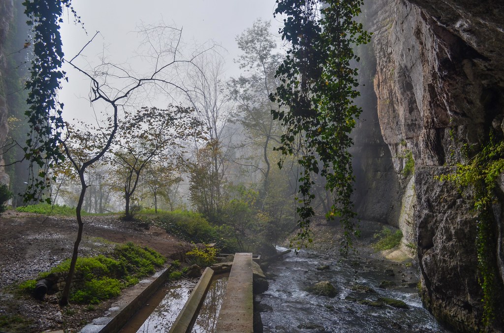
Photos Germagnat
|
See all photos of Germagnat :
Other photos of Germagnat and nearby towns can be found here: photos Germagnat
|
|
Germagnat weather forecast
Find next hours and 7 days weather forecast for Germagnat here : weather Germagnat (with english metrics)
This is the last weather forecast for Germagnat collected by the nearest observation station of Treffort-Cuisiat.
Week Forecast:
The latest weather data for Germagnat were collected Friday, 31 July 2026 at 08:01 from the nearest observation station of Treffort-Cuisiat.
| Friday, July 31st |
31°C 21°C
51%
71%
|
Drizzle
Temperature Max: 31°C Temperature Min: 21°C
Precipitation Probability: 51% (Rain)
Percentage of sky occluded by clouds: 71%
Wind speed: 8 km/h East
Humidity: 54%° UV Index: 6
Sunrise: 06:18 Sunset: 21:10 |
|
| | Saturday, August 1st |
30°C 18°C
27%
33%
|
Mostly clear
Temperature Max: 30°C Temperature Min: 18°C
Precipitation Probability: 27% (Rain)
Percentage of sky occluded by clouds: 33%
Wind speed: 8 km/h South-East
Humidity: 62%° UV Index: 7
Sunrise: 06:19 Sunset: 21:09 |
|
| | Sunday, August 2nd |
33°C 17°C
30%
9%
|
Clear
Temperature Max: 33°C Temperature Min: 17°C
Precipitation Probability: 30%
Percentage of sky occluded by clouds: 9%
Wind speed: 5 km/h South-East
Humidity: 51%° UV Index: 8
Sunrise: 06:21 Sunset: 21:07 |
|
| | Monday, August 3rd |
34°C 21°C
47%
34%
|
Mostly clear
Temperature Max: 34°C Temperature Min: 21°C
Precipitation Probability: 47% (Rain)
Percentage of sky occluded by clouds: 34%
Wind speed: 13 km/h North
Humidity: 43%° UV Index: 7
Sunrise: 06:22 Sunset: 21:06 |
|
|
Attribution: 
|
|
Other maps, hotels and towns in france
Find another town, zip code, department, region, ...
Quick links Germagnat :
Make a link to this page of Germagnat with the following code :
|
|
|
 French Version : http://www.cartesfrance.fr/carte-france-ville/01172_Germagnat.html