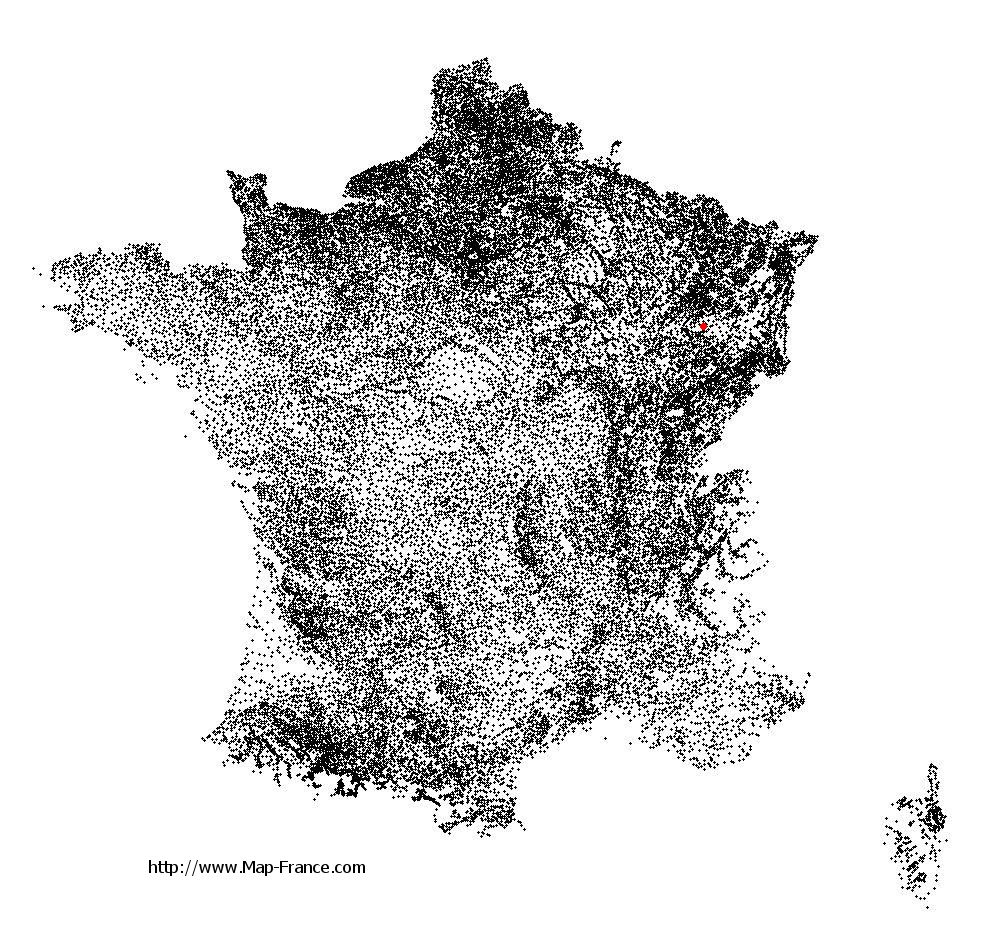
Gruey-lès-Surance on the relief France map in Lambert 93 coordinates
|

See the map of Gruey-lès-Surance in full screen (1000 x 949)
|
At left, here is the location of Gruey-lès-Surance on the relief France map in Lambert 93 coordinates.
Here are the altitudes of Gruey-lès-Surance :
- Town hall altitude of Gruey-lès-Surance is 433 meters
- Minimum altitude of Gruey-lès-Surance is 323 meters
- Maximum altitude of Gruey-lès-Surance is 488 meters
- Medium altitude of Gruey-lès-Surance is 406 meters
Here are the altitudes of Épinal, prefecture of Vosges department:
- Town hall altitude of Épinal is 330 meters
- Minimum altitude of Épinal is 315 meters
- Maximum altitude of Épinal is 492 meters
- Medium altitude of Épinal is 404 meters
Here are the altitudes of the french biggest cities:
Paris : 33 meters
Marseille : 20 meters
Lyon : 237 meters
Toulouse : 146 meters
Nice : 10 meters
Nantes : 20 meters
Strasbourg : 144 meters
Montpellier : 35 meters
Bordeaux : 16 meters
Lille : 20 meters
Rennes : 35 meters
Reims : 83 meters
Click here for the terrain map of Gruey-lès-Surance in full screen:
Relief map of Gruey-lès-Surance
|
This relief map of Gruey-lès-Surance is reusable and modifiable by making a link to this page of the Map-France.com website or by using the given code :
|
Terrain base map of Gruey-lès-Surance
|

See the terrain base map of Gruey-lès-Surance in full screen (1000 x 949)
|
Small relief base map of Gruey-lès-Surance

|
This base map of Gruey-lès-Surance is reusable and modifiable by making a link to this page of the Map-France.com website or by using the given code :
|
Map of Gruey-lès-Surance with regions and prefectures
|
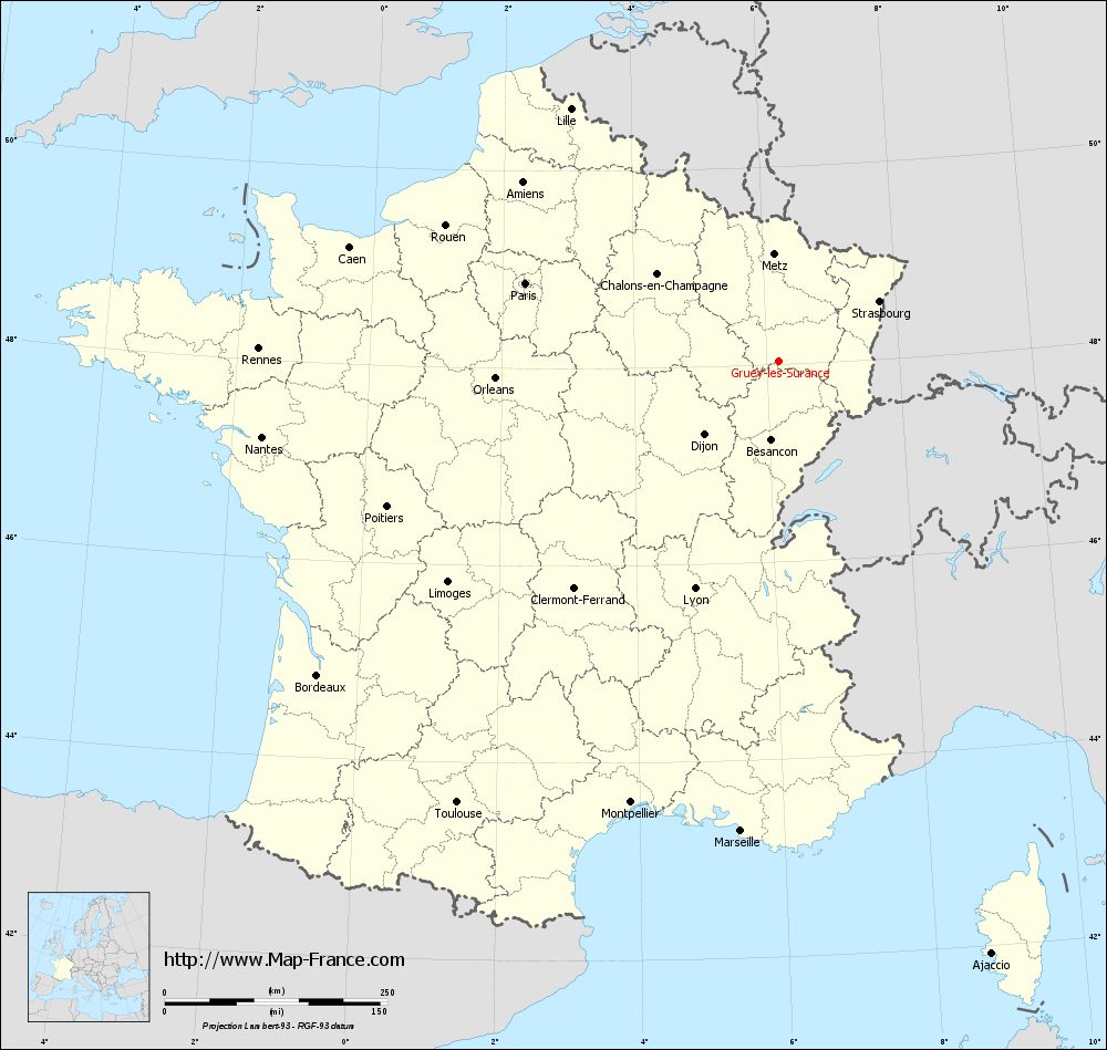
View the map of Gruey-lès-Surance in full screen (1000 x 949)
|
You will find the location of Gruey-lès-Surance on the map of France of regions in Lambert 93 coordinates. The town of Gruey-lès-Surance is located in the department of Vosges of the french region Lorraine.
Geographical sexagesimal coordinates / GPS (WGS84):
Latitude: 48° 02' 16'' North
Longitude: 06° 11' 03'' East
Geographical decimal coordinates :
Latitude: 48.039 degrees (48.039° North)
Longitude: 6.183 degrees (6.183° East)
Lambert 93 coordinates :
X: 9 373 hectometers
Y: 67 756 hectometers
Lambert 2 coordinates :
X: 8 869 hectometers
Y: 23 446 hectometers
Below, the geographical coordinates of Épinal, prefecture of the Vosges department:
Geographical sexagesimal coordinates / GPS (WGS84):
Latitude: 48° 10' 25'' North
Longitude: 06° 27' 06'' East
Geographical decimal coordinates :
Latitude: 48.177 degrees (48.177° North)
Longitude: 6.448 degrees (6.448° East)
Lambert 93 coordinates :
X: 9 565 hectometers
Y: 67 915 hectometers
Lambert 2 coordinates :
X: 9 060 hectometers
Y: 23 607 hectometers
|
This map of Gruey-lès-Surance is reusable and modifiable by making a link to this page of the Map-France.com website or by using the given code :
|
Map of Gruey-lès-Surance with departments and prefectures
|
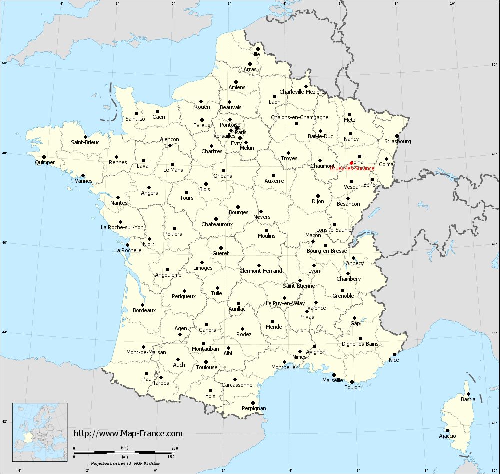
Voir la carte of Gruey-lès-Surance en grand format (1000 x 949)
|
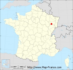
Here is the localization of Gruey-lès-Surance on the France map of departments in Lambert 93 coordinates. The city of Gruey-lès-Surance is shown on the map by a red point.
The town of Gruey-lès-Surance is located in the department of Vosges of the french region Lorraine.
The latitude of Gruey-lès-Surance is 48.039 degrees North.
The longitude of Gruey-lès-Surance is 6.183 degrees East.
Here the distance between Gruey-lès-Surance and the biggest cities of France:
Distances are calculated as the crow flies (orthodromic distance)
Distance between Gruey-lès-Surance and Paris : 297.13 kilometers
Distance between Gruey-lès-Surance and Marseille : 530.33 kilometers
Distance between Gruey-lès-Surance and Lyon : 273.15 kilometers
Distance between Gruey-lès-Surance and Toulouse : 614.22 kilometers
Distance between Gruey-lès-Surance and Nice : 488.6 kilometers
Distance between Gruey-lès-Surance and Nantes : 586.21 kilometers
Distance between Gruey-lès-Surance and Strasbourg : 131.04 kilometers
Distance between Gruey-lès-Surance and Montpellier : 523.63 kilometers
Distance between Gruey-lès-Surance and Bordeaux : 627.21 kilometers
Distance between Gruey-lès-Surance and Lille : 366.5 kilometers
Distance between Gruey-lès-Surance and Rennes : 583.58 kilometers
Distance between Gruey-lès-Surance and Reims : 208.05 kilometers
Clic here to see the map of Gruey-lès-Surance in full screen:
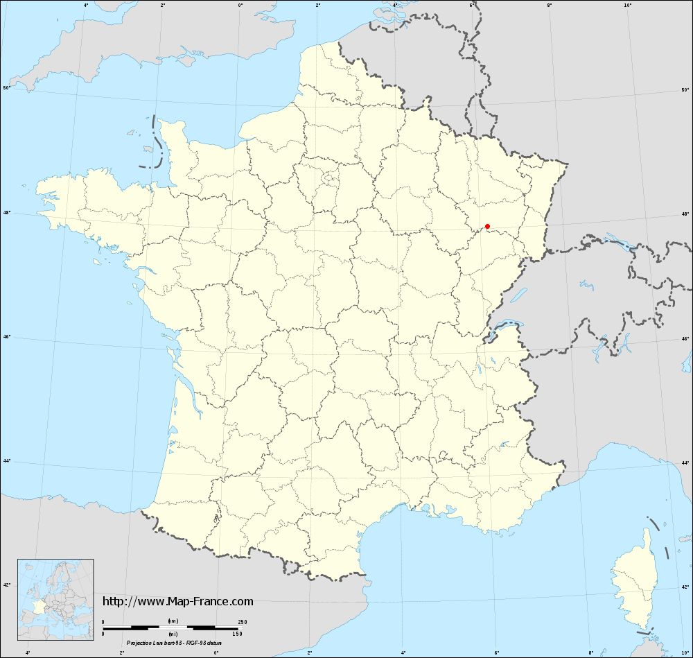
Gruey-lès-Surance on the map of french departments
|
This administrative map of Gruey-lès-Surance is reusable and modifiable by making a link to this page of the Map-France.com website or by using the given code :
|
Administrative base maps of Gruey-lès-Surance
|
See the administrative base map of Gruey-lès-Surance in full screen (1000 x 949)
|
Small administrative base map of Gruey-lès-Surance
|
This base map administrative of Gruey-lès-Surance is reusable and modifiable by making a link to this page of the Map-France.com website or by using the given code :
|
 French Version : http://www.cartesfrance.fr