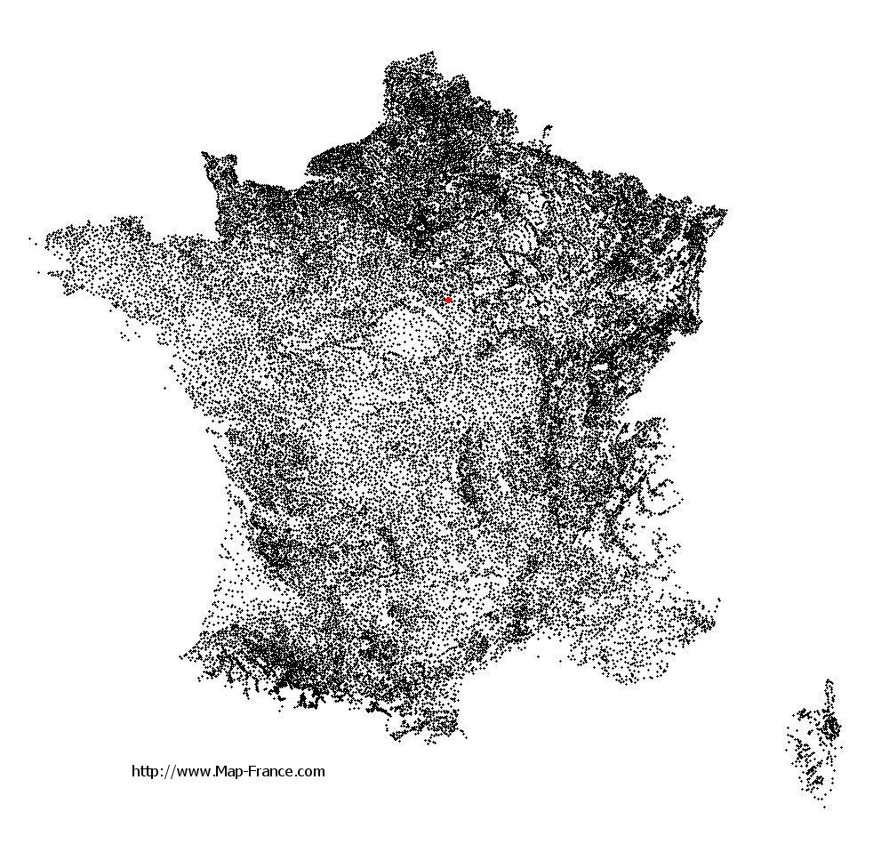
Gy-les-Nonains on the relief France map in Lambert 93 coordinates
|

See the map of Gy-les-Nonains in full screen (1000 x 949)
|
At left, here is the location of Gy-les-Nonains on the relief France map in Lambert 93 coordinates.
Here are the altitudes of Gy-les-Nonains :
- Town hall altitude of Gy-les-Nonains is 105 meters
- Minimum altitude of Gy-les-Nonains is 96 meters
- Maximum altitude of Gy-les-Nonains is 147 meters
- Medium altitude of Gy-les-Nonains is 122 meters
Here are the altitudes of Orléans, prefecture of Loiret department:
- Town hall altitude of Orléans is 110 meters
- Minimum altitude of Orléans is 90 meters
- Maximum altitude of Orléans is 124 meters
- Medium altitude of Orléans is 107 meters
Here are the altitudes of the french biggest cities:
Paris : 33 meters
Marseille : 20 meters
Lyon : 237 meters
Toulouse : 146 meters
Nice : 10 meters
Nantes : 20 meters
Strasbourg : 144 meters
Montpellier : 35 meters
Bordeaux : 16 meters
Lille : 20 meters
Rennes : 35 meters
Reims : 83 meters
Click here for the terrain map of Gy-les-Nonains in full screen:
Relief map of Gy-les-Nonains
|
This relief map of Gy-les-Nonains is reusable and modifiable by making a link to this page of the Map-France.com website or by using the given code :
|
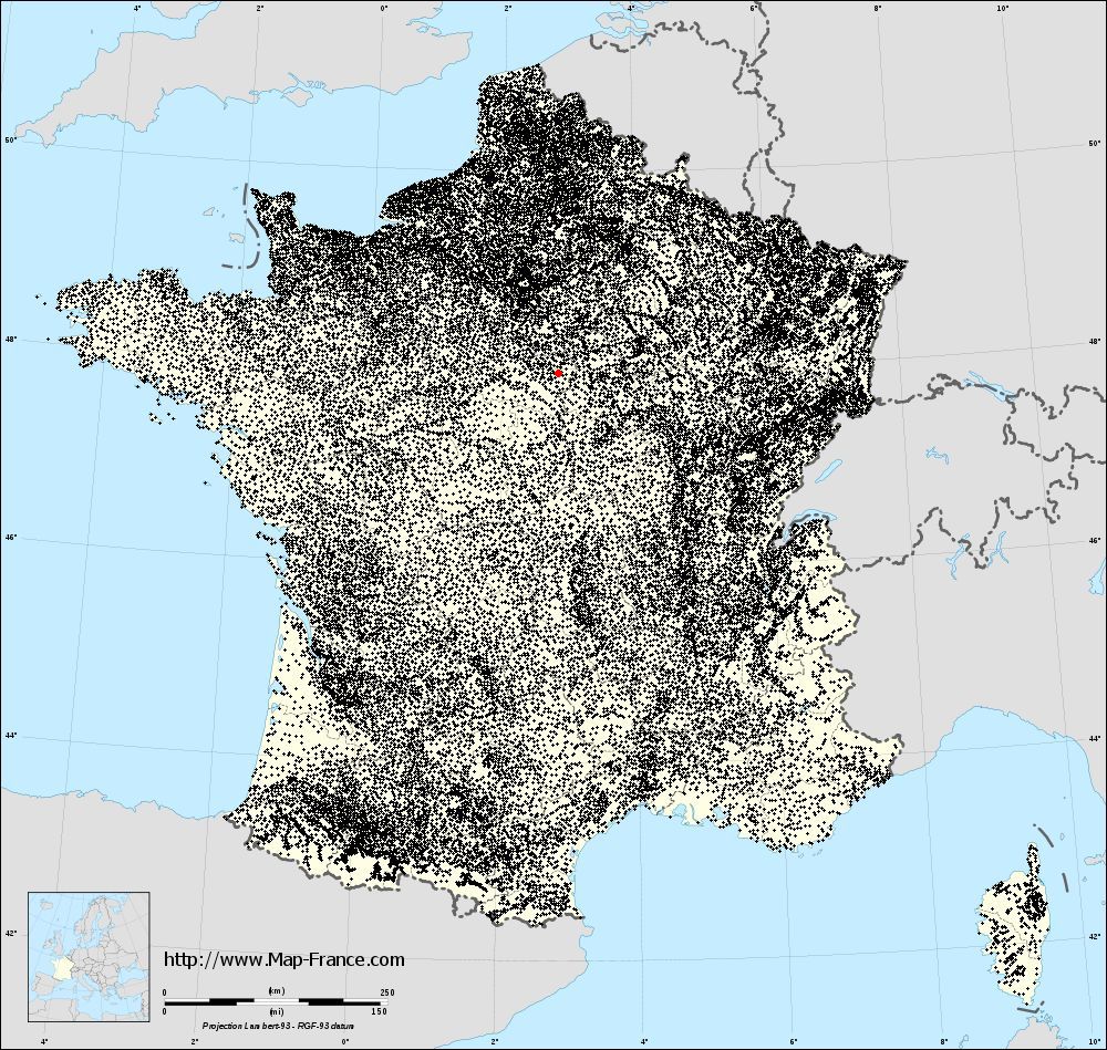
Terrain base map of Gy-les-Nonains
|

See the terrain base map of Gy-les-Nonains in full screen (1000 x 949)
|
Small relief base map of Gy-les-Nonains

|
This base map of Gy-les-Nonains is reusable and modifiable by making a link to this page of the Map-France.com website or by using the given code :
|
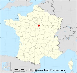
Map of Gy-les-Nonains with regions and prefectures
|
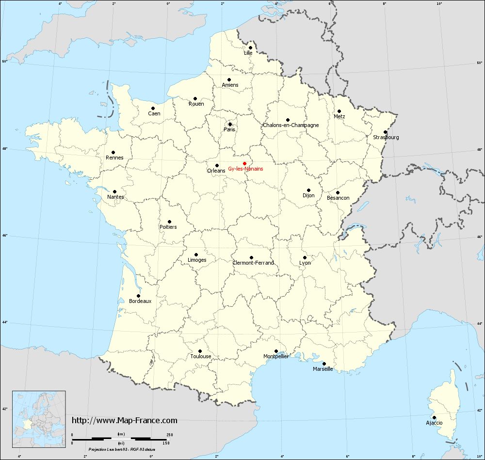
View the map of Gy-les-Nonains in full screen (1000 x 949)
|
You will find the location of Gy-les-Nonains on the map of France of regions in Lambert 93 coordinates. The town of Gy-les-Nonains is located in the department of Loiret of the french region Centre.
Geographical sexagesimal coordinates / GPS (WGS84):
Latitude: 47° 56' 50'' North
Longitude: 02° 51' 05'' East
Geographical decimal coordinates :
Latitude: 47.946 degrees (47.946° North)
Longitude: 2.853 degrees (2.853° East)
Lambert 93 coordinates :
X: 6 889 hectometers
Y: 67 608 hectometers
Lambert 2 coordinates :
X: 6 385 hectometers
Y: 23 277 hectometers
Below, the geographical coordinates of Orléans, prefecture of the Loiret department:
Geographical sexagesimal coordinates / GPS (WGS84):
Latitude: 47° 54' 08'' North
Longitude: 01° 54' 15'' East
Geographical decimal coordinates :
Latitude: 47.904 degrees (47.904° North)
Longitude: 1.907 degrees (1.907° East)
Lambert 93 coordinates :
X: 6 181 hectometers
Y: 67 563 hectometers
Lambert 2 coordinates :
X: 5 677 hectometers
Y: 23 226 hectometers
|
This map of Gy-les-Nonains is reusable and modifiable by making a link to this page of the Map-France.com website or by using the given code :
|
Map of Gy-les-Nonains with departments and prefectures
|
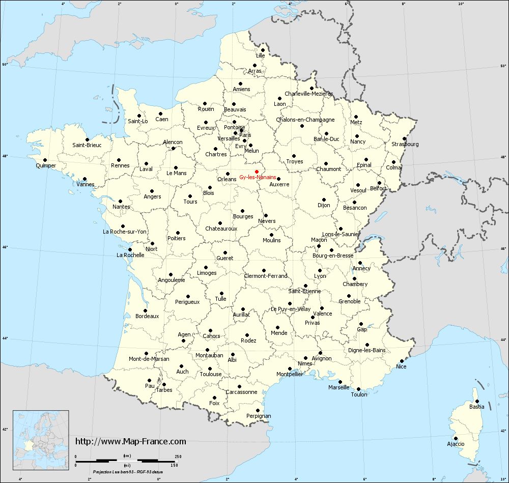
Voir la carte of Gy-les-Nonains en grand format (1000 x 949)
|
Here is the localization of Gy-les-Nonains on the France map of departments in Lambert 93 coordinates. The city of Gy-les-Nonains is shown on the map by a red point.
The town of Gy-les-Nonains is located in the department of Loiret of the french region Centre.
The latitude of Gy-les-Nonains is 47.946 degrees North.
The longitude of Gy-les-Nonains is 2.853 degrees East.
Here the distance between Gy-les-Nonains and the biggest cities of France:
Distances are calculated as the crow flies (orthodromic distance)
Distance between Gy-les-Nonains and Paris : 108.31 kilometers
Distance between Gy-les-Nonains and Marseille : 553 kilometers
Distance between Gy-les-Nonains and Lyon : 285.76 kilometers
Distance between Gy-les-Nonains and Toulouse : 494.91 kilometers
Distance between Gy-les-Nonains and Nice : 581.55 kilometers
Distance between Gy-les-Nonains and Nantes : 339.93 kilometers
Distance between Gy-les-Nonains and Strasbourg : 369.44 kilometers
Distance between Gy-les-Nonains and Montpellier : 488.31 kilometers
Distance between Gy-les-Nonains and Bordeaux : 433.31 kilometers
Distance between Gy-les-Nonains and Lille : 298.33 kilometers
Distance between Gy-les-Nonains and Rennes : 337.26 kilometers
Distance between Gy-les-Nonains and Reims : 169.57 kilometers
Clic here to see the map of Gy-les-Nonains in full screen:
Gy-les-Nonains on the map of french departments
|
This administrative map of Gy-les-Nonains is reusable and modifiable by making a link to this page of the Map-France.com website or by using the given code :
|
Administrative base maps of Gy-les-Nonains
|

See the administrative base map of Gy-les-Nonains in full screen (1000 x 949)
|
Small administrative base map of Gy-les-Nonains
|
This base map administrative of Gy-les-Nonains is reusable and modifiable by making a link to this page of the Map-France.com website or by using the given code :
|
 French Version : http://www.cartesfrance.fr