|
The village of Hohfrankenheim is a small village located north east of France. The town of Hohfrankenheim is located in the department of Bas-Rhin of the french region Alsace. The town of Hohfrankenheim is located in the township of Hochfelden part of the district of Strasbourg-Campagne. The area code for Hohfrankenheim is 67209 (also known as code INSEE), and the Hohfrankenheim zip code is 67270.
Geography and map of Hohfrankenheim :
The altitude of the city hall of Hohfrankenheim is approximately 210 meters. The Hohfrankenheim surface is 2.76 km ². The latitude and longitude of Hohfrankenheim are 48.729 degrees North and 7.577 degrees East.
Nearby cities and towns of Hohfrankenheim are :
Schaffhouse-sur-Zorn (67270) at 1.23 km, Gingsheim (67270) at 1.58 km, Mutzenhouse (67270) at 1.59 km, Gougenheim (67270) at 3.20 km, Hochfelden (67270) at 3.23 km, Hohatzenheim (67170) at 3.24 km, Duntzenheim (67270) at 3.55 km, Schwindratzheim (67270) at 3.62 km.
(The distances to these nearby towns of Hohfrankenheim are calculated as the crow flies)
Population and housing of Hohfrankenheim :
The population of Hohfrankenheim was 271 in 1999, 260 in 2006 and 259 in 2007. The population density of Hohfrankenheim is 93.84 inhabitants per km². The number of housing of Hohfrankenheim was 96 in 2007. These homes of Hohfrankenheim consist of 90 main residences, 0 second or occasional homes and 7 vacant homes. |
|
|
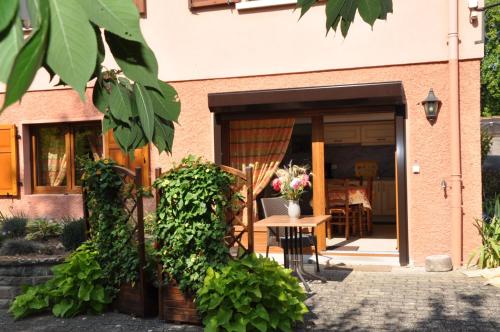
Hotel Hohfrankenheim
|
|
|
Book now ! Best Price Guaranteed, no booking fees, pay at the hotel with our partner Booking.com, leader in online hotel reservation.
Find all hotels of Hohfrankenheim : Hotel Hohfrankenheim
| |
|
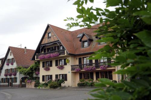
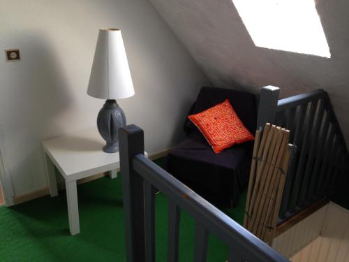
Hotel : Hotel Restaurant A L'Etoile

The hotel-restaurant L'Etoile is located in a calm, rural village 18 kilometers from Strasbourg, at the very crossroads of Europe and offers warm and friendly accommodation. Gu...
Rate : from 80.00 €
to 111.00 €
Address : 12 rue de La Hey 67170 Mittelhausen
Distance Hotel - Hohfrankenheim : 4.35 km
|
|
|
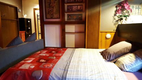
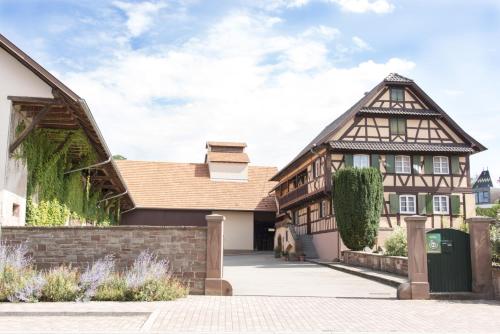
Guest accommodation : Chez Nous

Situated in Waltenheim-sur-Zorn, 100 metres from Waltenheim-sur-Zorn Marina, Chez Nous features accommodation with free WiFi. All units feature air conditioning and a flat-scre...
Price : from 120.00 €
to 160.00 €
Contact : 2 Rue du Moulin 67670 Waltenheim-sur-Zorn
Distance Guest accommodation - Hohfrankenheim : 4.64 km
|
|
|
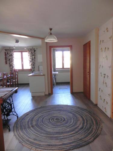
Apartment : Piaf & CO.
Piaf & CO. Is set in Wilwisheim. Guests staying at this apartment have access to a fully equipped kitchen. The apartment has 3 bedrooms and 1 bathroom with a shower. A flat-scr...
Contact : 18 Rue du 22 Novembre 67270 Wilwisheim
Distance Apartment - Hohfrankenheim : 5.09 km
|
|
|
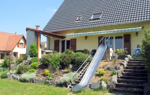
Guest accommodation : Le belvédère du kochersberg
Le belvédère du kochersberg is situated in Durningen. The property was built in 1986 and has accommodation with a terrace. The villa features 4 bedrooms and a fully fitted kitc...
Contact : Rue du fairmont 67270 Durningen
Distance Guest accommodation - Hohfrankenheim : 5.22 km
|
|
|
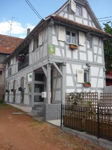
Apartment : Ferme Typique Alsacienne
Ferme Typique Alsacienne features self-catering accommodations located in Truchtersheim, right next to Maison du Kochersberg Museum. It offers accommodations set in a traditiona...
Address : 6 rue de l'Eglise 67370 Truchtersheim
Distance Apartment - Hohfrankenheim : 7.60 km
|
|
|
Bed and Breakfast : Chambre bleue
Boasting free bikes, Chambre bleue features accommodation in Truchtersheim with free WiFi and garden views. This bed and breakfast offers a garden as well as a terrace. A conti...
Prices : from 29.00 €
to 34.00 €
Contact : 14 Rue des Prés 67370 Truchtersheim
Distance Bed and Breakfast - Hohfrankenheim : 7.83 km
|
|
|
Guest accommodation : gîte de charme proximité de Strasbourg
Situated in Olwisheim in the Alsace region, gîte de charme proximité de Strasbourg has a terrace and city views. Guests staying at this holiday home have access to a fully equip...
Rate : from 90.00 €
Contact : 63 Rue Principale 67170 Olwisheim
Distance Guest accommodation - Hohfrankenheim : 8.13 km
|
|
|
Apartment : studio Fleurette
Featuring a garden, studio Fleurette offers accommodation in Ittlenheim with free WiFi and garden views. The property was built in 2010 and features accommodation with a patio. ...
Contact : 15 Rue de la Felsch 67370 Ittlenheim
Distance Apartment - Hohfrankenheim : 8.37 km
|
|
|
Bed and Breakfast : La Tourelle de Mithra
La Tourelle de Mithra is a charming residence situated just 15 minutes from Strasbourg, in the heart of Kochersberg. Just 200 meters from the residence, you will have access to ...
Prices : from 59.00 €
to 88.00 €
Address : 9 Rue de L'Église 67370 Ittlenheim
Distance Bed and Breakfast - Hohfrankenheim : 8.53 km
|
|

|
Guest accommodation : Les Gîtes de l'Escalier
Offering a bar, Les Gîtes de l'Escalier is located in Brumath. You can relax in the sauna, in the shared lounge or in the flowered garden, and free WiFi access is available thro...
Rate : from 110.00 €
to 140.00 €
Contact : 10, Rue de Pfaffenhoffen 67170 Brumath
Distance Guest accommodation - Hohfrankenheim : 9.68 km
|
|
Find another hotel near Hohfrankenheim : Hohfrankenheim hotels list
|
Map of Hohfrankenheim
|
|
Map of Hohfrankenheim :
At right you can find the localization of Hohfrankenheim on the map of France. Below, this is the satellite map of Hohfrankenheim. A road map, and maps templates of Hohfrankenheim are available here : "road map of Hohfrankenheim". This map show Hohfrankenheim seen by the satellite of Google Map. To see the streets of Hohfrankenheim or move on another zone, use the buttons "zoom" and "map" on top of this dynamic map.
Search on the map of Hohfrankenheim :
To search hotels, housings, tourist information office, administrations or other services, use the Google search integrated to the map on the following page : "map Hohfrankenheim".
Hotels of Hohfrankenheim are listed on the map with the following icons: 
The map of Hohfrankenheim is centred in the following coordinates :
|

|
|
|
|
Print the map of Hohfrankenheim

Print the map of Hohfrankenheim : map of Hohfrankenheim
|
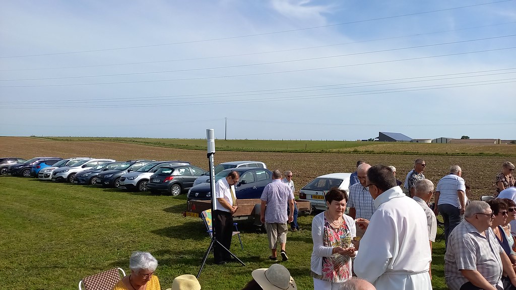
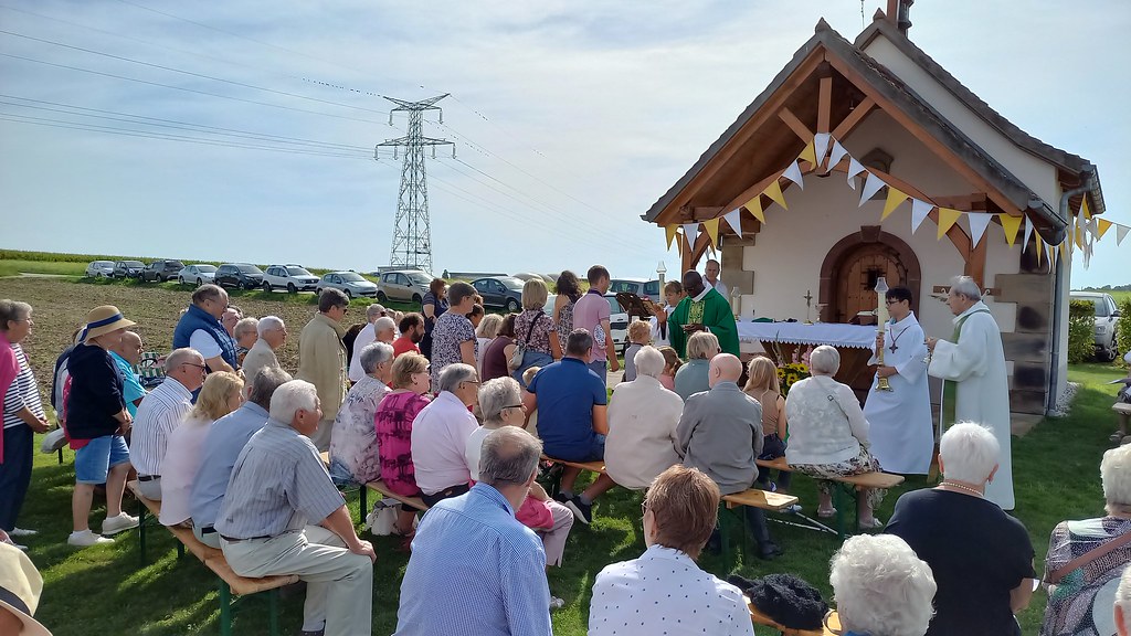
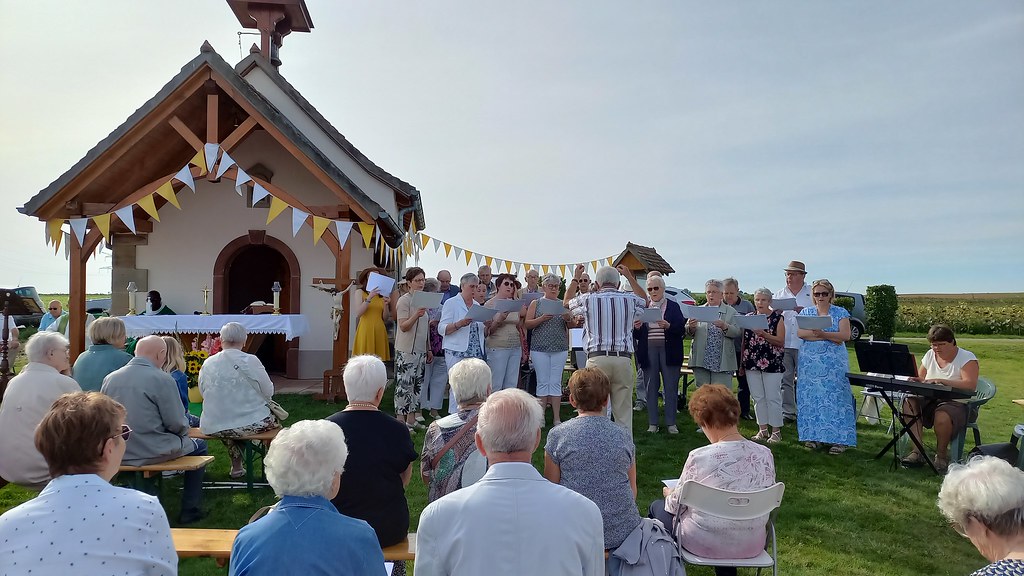
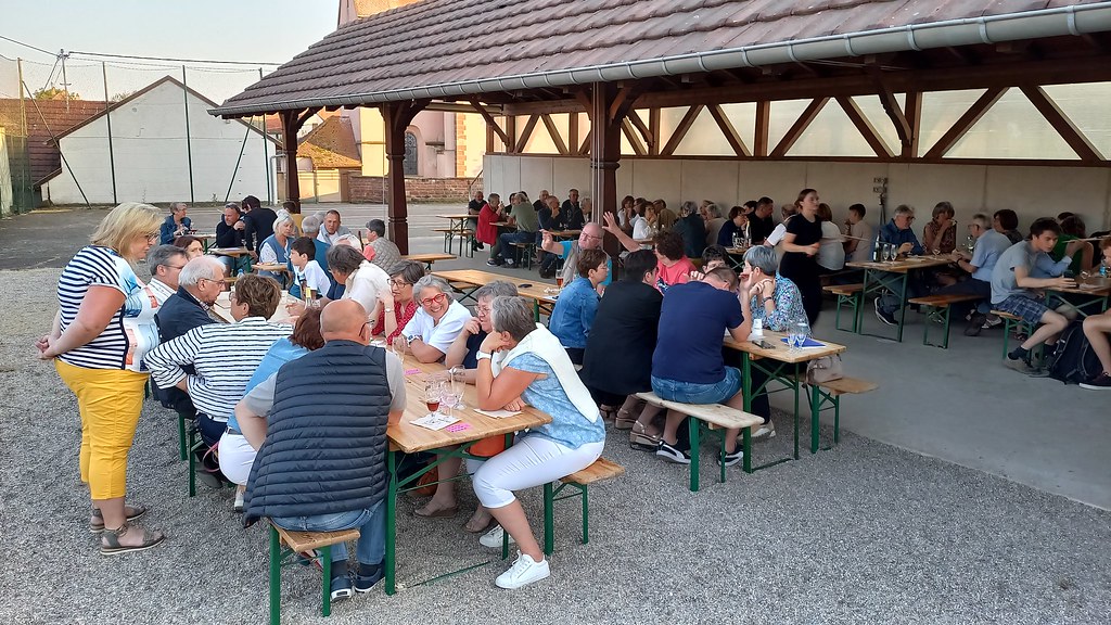
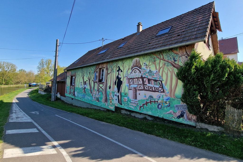
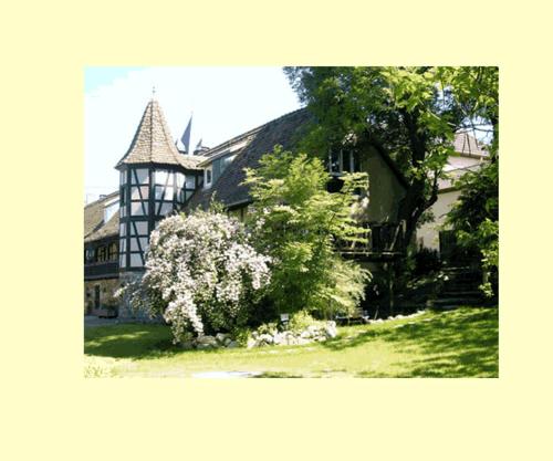
Photos Hohfrankenheim
|
See all photos of Hohfrankenheim :
Other photos of Hohfrankenheim and nearby towns can be found here: photos Hohfrankenheim
|
|
Hohfrankenheim weather forecast
Find next hours and 7 days weather forecast for Hohfrankenheim here : weather Hohfrankenheim (with english metrics)
This is the last weather forecast for Hohfrankenheim collected by the nearest observation station of Hochfelden.
Week Forecast:
The latest weather data for Hohfrankenheim were collected Wednesday, 29 July 2026 at 19:04 from the nearest observation station of Hochfelden.
| Wednesday, July 29th |
36°C 16°C
0%
8%
|
Clear
Temperature Max: 36°C Temperature Min: 16°C
Precipitation Probability: 0%
Percentage of sky occluded by clouds: 8%
Wind speed: 6 km/h North
Humidity: 41%° UV Index: 8
Sunrise: 05:59 Sunset: 21:12 |
|
| | Thursday, July 30th |
37°C 18°C
0%
52%
|
Partly cloudy
Temperature Max: 37°C Temperature Min: 18°C
Precipitation Probability: 0%
Percentage of sky occluded by clouds: 52%
Wind speed: 13 km/h East
Humidity: 36%° UV Index: 6
Sunrise: 06:00 Sunset: 21:11 |
|
| | Friday, July 31st |
31°C 19°C
41%
77%
|
Drizzle
Temperature Max: 31°C Temperature Min: 19°C
Precipitation Probability: 41% (Rain)
Percentage of sky occluded by clouds: 77%
Wind speed: 7 km/h North-East
Humidity: 55%° UV Index: 5
Sunrise: 06:01 Sunset: 21:09 |
|
| | Saturday, August 1st |
29°C 19°C
53%
54%
|
Drizzle
Temperature Max: 29°C Temperature Min: 19°C
Precipitation Probability: 53% (Rain)
Percentage of sky occluded by clouds: 54%
Wind speed: 6 km/h East
Humidity: 64%° UV Index: 6
Sunrise: 06:03 Sunset: 21:08 |
|
|
Attribution: 
|
|
Other maps, hotels and towns in france
Find another town, zip code, department, region, ...
Quick links Hohfrankenheim :
Make a link to this page of Hohfrankenheim with the following code :
|
|
|
 French Version : http://www.cartesfrance.fr/carte-france-ville/67209_Hohfrankenheim.html