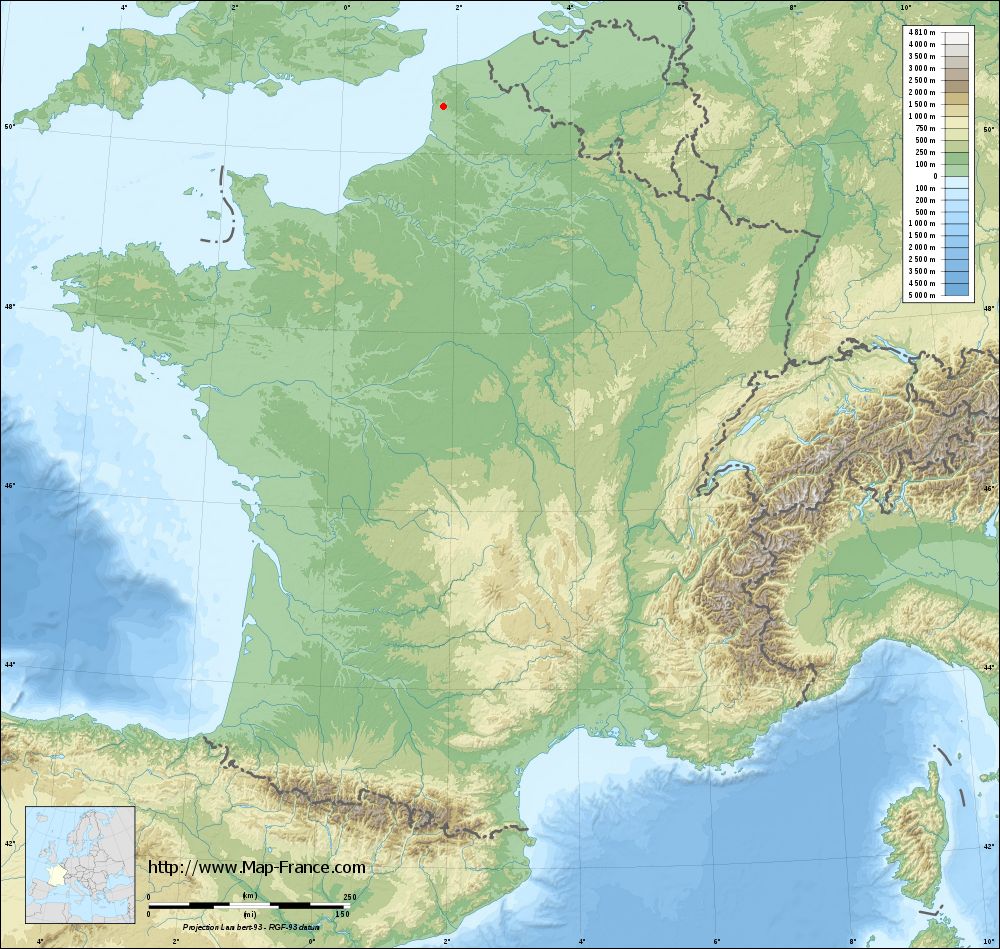
Inxent on the relief France map in Lambert 93 coordinates
|

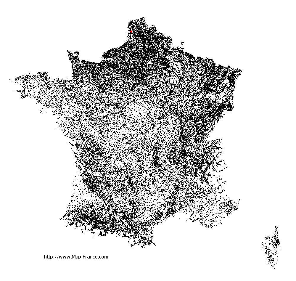
See the map of Inxent in full screen (1000 x 949)
|
At left, here is the location of Inxent on the relief France map in Lambert 93 coordinates.
Here are the altitudes of Inxent :
- Town hall altitude of Inxent is 25 meters
- Minimum altitude of Inxent is 21 meters
- Maximum altitude of Inxent is 113 meters
- Medium altitude of Inxent is 67 meters
Here are the altitudes of Arras, prefecture of Pas-de-Calais department:
- Town hall altitude of Arras is 61 meters
- Minimum altitude of Arras is 52 meters
- Maximum altitude of Arras is 99 meters
- Medium altitude of Arras is 76 meters
Here are the altitudes of the french biggest cities:
Paris : 33 meters
Marseille : 20 meters
Lyon : 237 meters
Toulouse : 146 meters
Nice : 10 meters
Nantes : 20 meters
Strasbourg : 144 meters
Montpellier : 35 meters
Bordeaux : 16 meters
Lille : 20 meters
Rennes : 35 meters
Reims : 83 meters
Click here for the terrain map of Inxent in full screen:
Relief map of Inxent
|
This relief map of Inxent is reusable and modifiable by making a link to this page of the Map-France.com website or by using the given code :
|
Terrain base map of Inxent
|
See the terrain base map of Inxent in full screen (1000 x 949)
|
Small relief base map of Inxent
|
This base map of Inxent is reusable and modifiable by making a link to this page of the Map-France.com website or by using the given code :
|
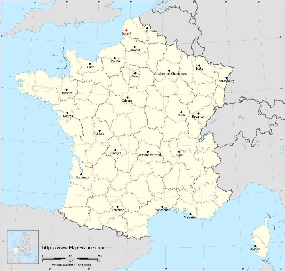
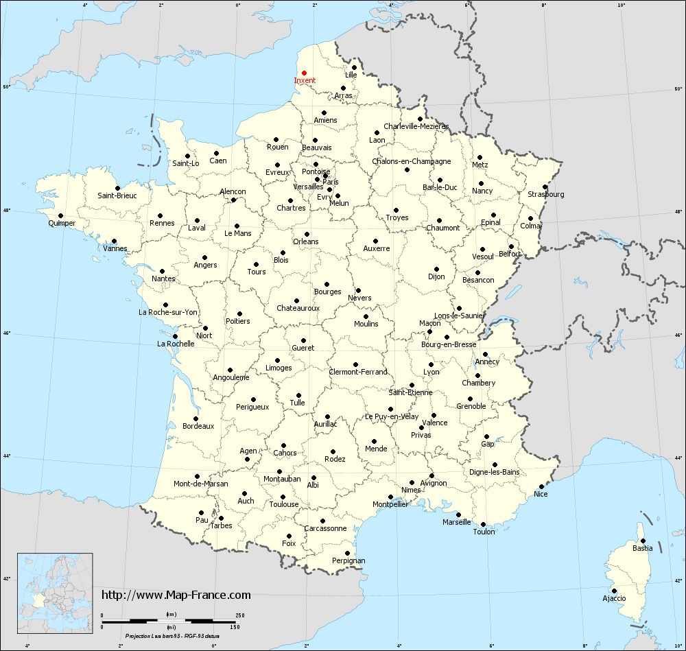
Map of Inxent with regions and prefectures
|
View the map of Inxent in full screen (1000 x 949)
|
You will find the location of Inxent on the map of France of regions in Lambert 93 coordinates. The town of Inxent is located in the department of Pas-de-Calais of the french region Nord-Pas-de-Calais.
Geographical sexagesimal coordinates / GPS (WGS84):
Latitude: 50° 31' 59'' North
Longitude: 01° 46' 60'' East
Geographical decimal coordinates :
Latitude: 50.533 degrees (50.533° North)
Longitude: 1.784 degrees (1.784° East)
Lambert 93 coordinates :
X: 6 136 hectometers
Y: 70 491 hectometers
Lambert 2 coordinates :
X: 5 607 hectometers
Y: 26 155 hectometers
Below, the geographical coordinates of Arras, prefecture of the Pas-de-Calais department:
Geographical sexagesimal coordinates / GPS (WGS84):
Latitude: 50° 17' 21'' North
Longitude: 02° 46' 48'' East
Geographical decimal coordinates :
Latitude: 50.289 degrees (50.289° North)
Longitude: 2.767 degrees (2.767° East)
Lambert 93 coordinates :
X: 6 843 hectometers
Y: 70 213 hectometers
Lambert 2 coordinates :
X: 6 317 hectometers
Y: 25 883 hectometers
|
This map of Inxent is reusable and modifiable by making a link to this page of the Map-France.com website or by using the given code :
|
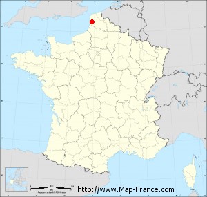
Map of Inxent with departments and prefectures
|
Voir la carte of Inxent en grand format (1000 x 949)
|
Here is the localization of Inxent on the France map of departments in Lambert 93 coordinates. The city of Inxent is shown on the map by a red point.
The town of Inxent is located in the department of Pas-de-Calais of the french region Nord-Pas-de-Calais.
The latitude of Inxent is 50.533 degrees North.
The longitude of Inxent is 1.784 degrees East.
Here the distance between Inxent and the biggest cities of France:
Distances are calculated as the crow flies (orthodromic distance)
Distance between Inxent and Paris : 190.16 kilometers
Distance between Inxent and Marseille : 849.22 kilometers
Distance between Inxent and Lyon : 576.45 kilometers
Distance between Inxent and Toulouse : 770.75 kilometers
Distance between Inxent and Nice : 863.69 kilometers
Distance between Inxent and Nantes : 441.58 kilometers
Distance between Inxent and Strasbourg : 481.59 kilometers
Distance between Inxent and Montpellier : 785.35 kilometers
Distance between Inxent and Bordeaux : 656.3 kilometers
Distance between Inxent and Lille : 89.55 kilometers
Distance between Inxent and Rennes : 368.13 kilometers
Distance between Inxent and Reims : 214.33 kilometers
Clic here to see the map of Inxent in full screen:
Inxent on the map of french departments
|
This administrative map of Inxent is reusable and modifiable by making a link to this page of the Map-France.com website or by using the given code :
|
Administrative base maps of Inxent
|

See the administrative base map of Inxent in full screen (1000 x 949)
|
Small administrative base map of Inxent
|
This base map administrative of Inxent is reusable and modifiable by making a link to this page of the Map-France.com website or by using the given code :
|
 French Version : http://www.cartesfrance.fr