|
The village of Iron is a small village located north of France. The town of Iron is located in the department of Aisne of the french region Picardie. The town of Iron is located in the township of Guise part of the district of Vervins. The area code for Iron is 02386 (also known as code INSEE), and the Iron zip code is 02510.
Geography and map of Iron :
The altitude of the city hall of Iron is approximately 130 meters. The Iron surface is 9.51 km ². The latitude and longitude of Iron are 49.955 degrees North and 3.66 degrees East.
Nearby cities and towns of Iron are :
La Neuville-lès-Dorengt (02450) at 2.78 km, Dorengt (02450) at 2.94 km, Vénérolles (02510) at 3.06 km, Hannapes (02510) at 3.18 km, Lavaqueresse (02450) at 3.27 km, Lesquielles-Saint-Germain (02120) at 3.70 km, Tupigny (02120) at 3.80 km, Étreux (02510) at 4.24 km.
(The distances to these nearby towns of Iron are calculated as the crow flies)
Population and housing of Iron :
The population of Iron was 225 in 1999, 226 in 2006 and 224 in 2007. The population density of Iron is 23.55 inhabitants per km². The number of housing of Iron was 121 in 2007. These homes of Iron consist of 98 main residences, 12 second or occasional homes and 11 vacant homes. |
|
|
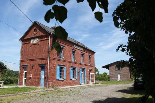
Hotel Iron
|
|
|
Book now ! Best Price Guaranteed, no booking fees, pay at the hotel with our partner Booking.com, leader in online hotel reservation.
Find all hotels of Iron : Hotel Iron
| |
|
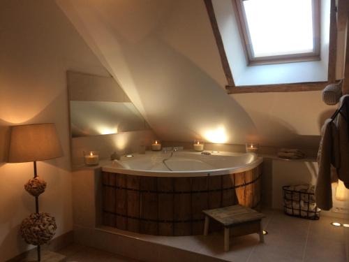
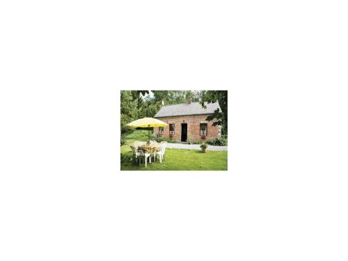
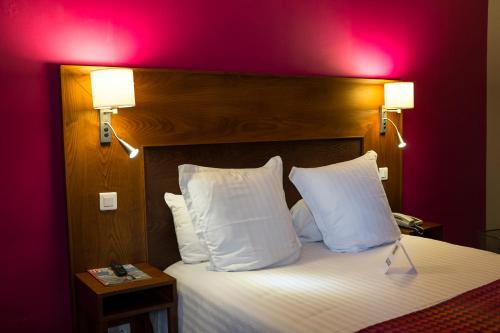
Guest accommodation : Le Petit Gîte
Le Petit Gite is a self-catering cottage set within a farm in the countryside of the Picardy region, just 4 km from Dorengt. The property features a heated outdoor pool that is ...
Rate : from 172.00 €
Address : Ferme de Ribeaufontaine 02450 Dorengt
Distance Guest accommodation - Iron : 4.35 km
|
|
|
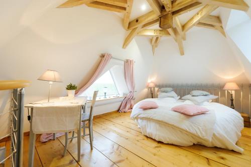
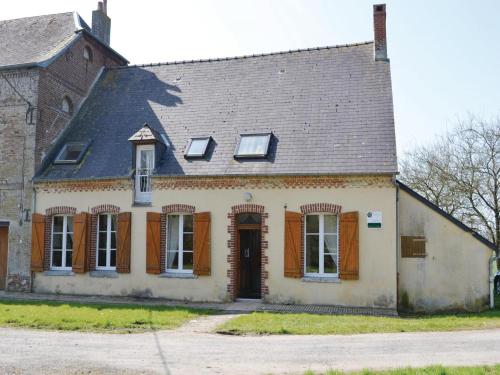
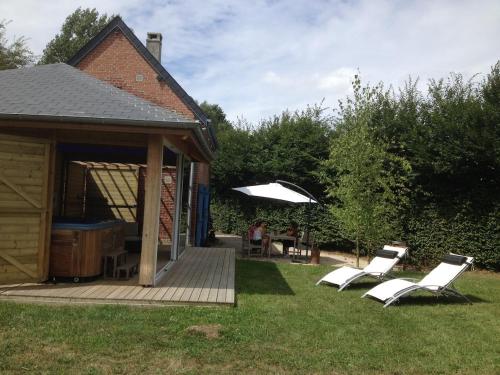
Bed and Breakfast : Les Chambres de Ribeaufontaine
Set in a horse-riding centre and in old abbey from the 18th century, La Ferme de Ribeaufontaine offers a garden and elegant rooms with a private bathroom and an electric kettle....
Price : from 70.00 €
to 200.00 €
Contact : Ferme de Ribeaufontaine 02450 Dorengt
Distance Bed and Breakfast - Iron : 4.35 km
|
|
|
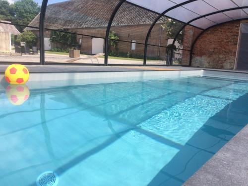
Guest accommodation : Le Grand Gîte
Located in the countryside of the Picardy region, Le Grand Gîte is set in a farmhouse with a large park, 20 km from the Matisse Museum. The 3-bedroom cottage has a BBQ and featu...
Prices : from 400.00 €
Contact : Ferme de Ribeaufontaine 02450 Dorengt
Distance Guest accommodation - Iron : 4.39 km
|
|
|
Guest accommodation : Gîte La Grenouillère

Featuring accommodation with a terrace, Gîte La Grenouillère is situated in Esquéhéries. This holiday home also features a restaurant. With free WiFi, this holiday home offers ...
Contact : 41, La Voirie, Chemin de La Grenouillère 02170 Esquéhéries
Distance Guest accommodation - Iron : 7.96 km
|
|
|
Guest accommodation : Two-Bedroom Holiday Home in Romery

Two-Bedroom Holiday Home in Romery is set in Romery. This holiday home offers accommodation with free WiFi. The holiday home is fitted with a TV and 2 bedrooms. The kitchen has...
Address : 02120 Romery
Distance Guest accommodation - Iron : 8.04 km
|
|
|
Guest accommodation : Three-Bedroom Holiday Home in Chigny
Three-Bedroom Holiday Home in Chigny is situated in Chigny. Guests staying at this holiday home have access to a fully equipped kitchen. The holiday home is equipped with a TV ...
Contact : 02120 Chigny
Distance Guest accommodation - Iron : 9.58 km
|
|
|
Bed and Breakfast : GrIsa'Home
With garden views, GrIsa'Home has accommodation with a kitchen set in Aisonville-et-Bernoville. All units come with a seating area, a TV and a private bathroom with free toilet...
Rate : from 75.00 €
Contact : 7bis Rue Emile Borgne 02110 Aisonville-et-Bernoville
Distance Bed and Breakfast - Iron : 10.12 km
|
|
|
Guest accommodation : Les Pommes d'Or
Les Pommes d'Or is set in Marly-Gomont, 36 km from Saint-Quentin. Laon is 40 km from the property and Reims is 85 km away. Free WiFi is provided . It provides 2 holiday homes t...
Contact : 12, rue de Chigny 02120 Marly-Gomont
Distance Guest accommodation - Iron : 10.34 km
|
|
|
Guest accommodation : La Reine des Prés
La Reine des Prés is located in Marly-Gomont. Free WiFi is featured. The holiday home is equipped with 1 bedroom, a flat-screen TV and a fully equipped kitchen that provides gu...
Prices : from 90.00 €
Address : 12 bis, rue de Chigny 02120 Marly-Gomont
Distance Guest accommodation - Iron : 10.35 km
|
|
|
Hotel : Hotel Restaurant La Paix
Featuring a garden and bar, as well as a restaurant, Hotel Restaurant La Paix is situated in Le Nouvion-en-Thiérache. This 3-star hotel offers free WiFi. Each room includes a fl...
Rate : from 68.00 €
to 85.00 €
Contact : 37 rue Vimont Vicary 02170 Le Nouvion-en-Thiérache
Distance Hotel - Iron : 11.05 km
|
|
Find another hotel near Iron : Iron hotels list
|
Map of Iron
|
|
Map of Iron :
At right you can find the localization of Iron on the map of France. Below, this is the satellite map of Iron. A road map, and maps templates of Iron are available here : "road map of Iron". This map show Iron seen by the satellite of Google Map. To see the streets of Iron or move on another zone, use the buttons "zoom" and "map" on top of this dynamic map.
Search on the map of Iron :
To search hotels, housings, tourist information office, administrations or other services, use the Google search integrated to the map on the following page : "map Iron".
Hotels of Iron are listed on the map with the following icons: 
The map of Iron is centred in the following coordinates :
|

|
|
|
|
Print the map of Iron

Print the map of Iron : map of Iron
|
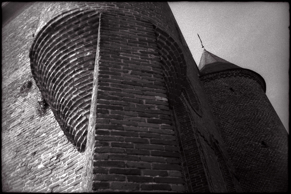
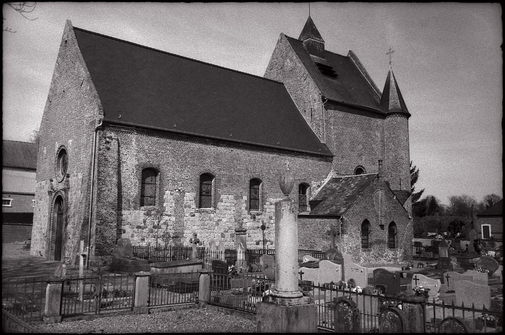
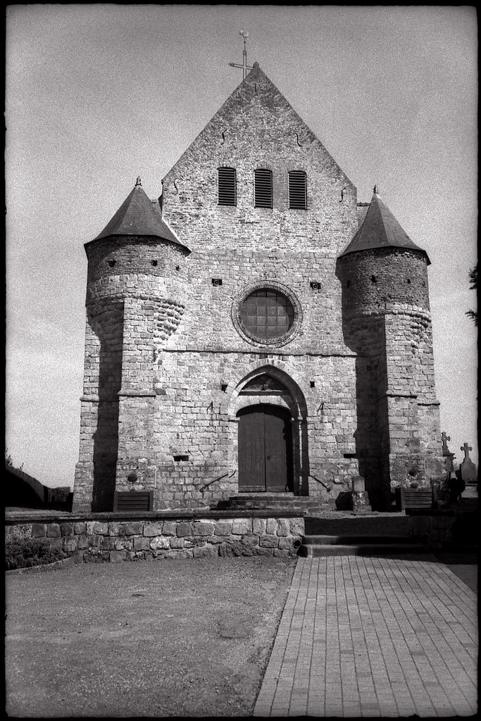
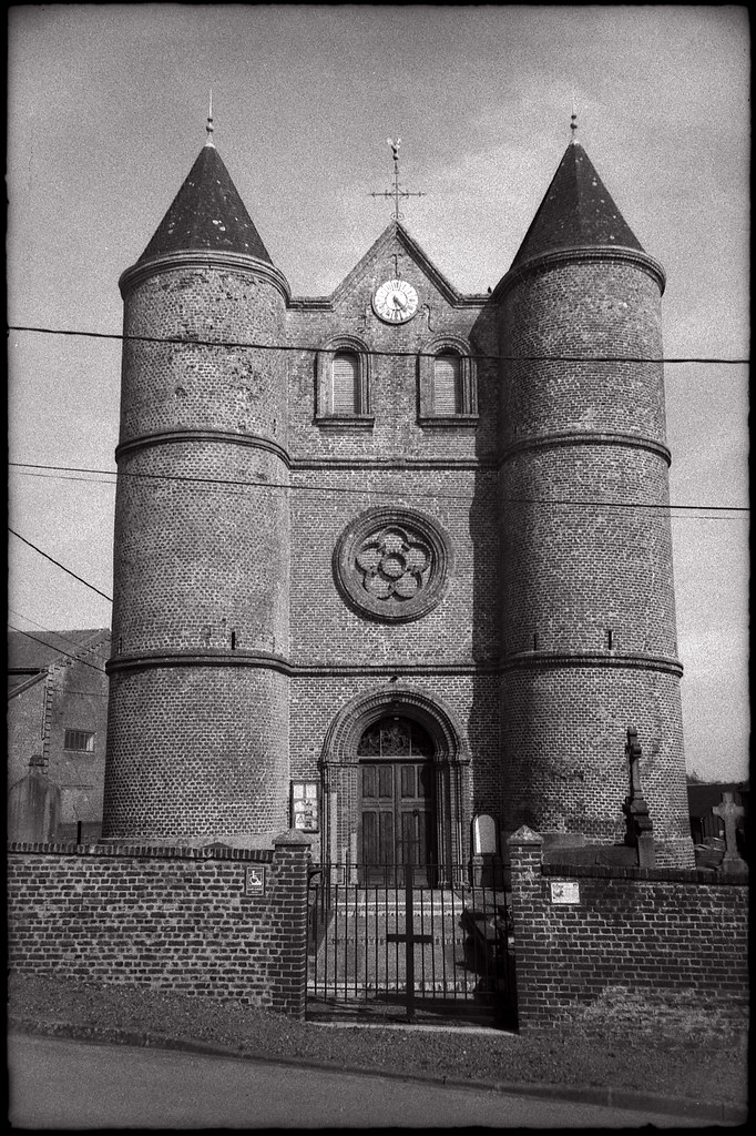
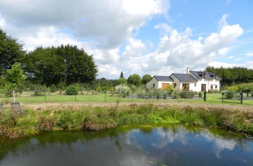
Photos Iron
|
See all photos of Iron :
Other photos of Iron and nearby towns can be found here: photos Iron
|
|
Iron weather forecast
Find next hours and 7 days weather forecast for Iron here : weather Iron (with english metrics)
This is the last weather forecast for Iron collected by the nearest observation station of Guise.
Week Forecast:
The latest weather data for Iron were collected Monday, 15 June 2026 at 19:01 from the nearest observation station of Guise.
| Monday, June 15th |
22°C 9°C
32%
84%
|
Drizzle
Temperature Max: 22°C Temperature Min: 9°C
Precipitation Probability: 32% (Rain)
Percentage of sky occluded by clouds: 84%
Wind speed: 6 km/h North-West
Humidity: 64%° UV Index: 5
Sunrise: 05:36 Sunset: 21:56 |
|
| | Tuesday, June 16th |
25°C 16°C
39%
67%
|
Drizzle
Temperature Max: 25°C Temperature Min: 16°C
Precipitation Probability: 39% (Rain)
Percentage of sky occluded by clouds: 67%
Wind speed: 14 km/h East
Humidity: 67%° UV Index: 5
Sunrise: 05:36 Sunset: 21:56 |
|
| | Wednesday, June 17th |
26°C 13°C
0%
44%
|
Partly cloudy
Temperature Max: 26°C Temperature Min: 13°C
Precipitation Probability: 0%
Percentage of sky occluded by clouds: 44%
Wind speed: 7 km/h North-East
Humidity: 64%° UV Index: 6
Sunrise: 05:36 Sunset: 21:56 |
|
| | Thursday, June 18th |
31°C 16°C
30%
27%
|
Drizzle
Temperature Max: 31°C Temperature Min: 16°C
Precipitation Probability: 30% (Rain)
Percentage of sky occluded by clouds: 27%
Wind speed: 6 km/h North-West
Humidity: 63%° UV Index: 8
Sunrise: 05:36 Sunset: 21:57 |
|
|
Attribution: 
|
|
Other maps, hotels and towns in france
Find another town, zip code, department, region, ...
Quick links Iron :
Make a link to this page of Iron with the following code :
|
|
|
 French Version : http://www.cartesfrance.fr/carte-france-ville/02386_Iron.html