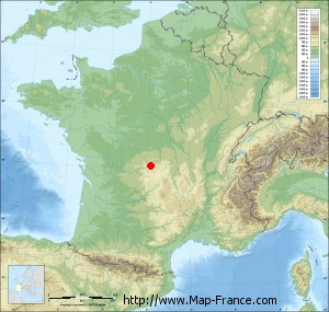
Issoudun-Létrieix on the relief France map in Lambert 93 coordinates
|

See the map of Issoudun-Létrieix in full screen (1000 x 949)
|
At left, here is the location of Issoudun-Létrieix on the relief France map in Lambert 93 coordinates.
Here are the altitudes of Issoudun-Létrieix :
- Town hall altitude of Issoudun-Létrieix is 531 meters
- Minimum altitude of Issoudun-Létrieix is 384 meters
- Maximum altitude of Issoudun-Létrieix is 598 meters
- Medium altitude of Issoudun-Létrieix is 491 meters
Here are the altitudes of Guéret, prefecture of Creuse department:
- Town hall altitude of Guéret is 431 meters
- Minimum altitude of Guéret is 350 meters
- Maximum altitude of Guéret is 685 meters
- Medium altitude of Guéret is 518 meters
Here are the altitudes of the french biggest cities:
Paris : 33 meters
Marseille : 20 meters
Lyon : 237 meters
Toulouse : 146 meters
Nice : 10 meters
Nantes : 20 meters
Strasbourg : 144 meters
Montpellier : 35 meters
Bordeaux : 16 meters
Lille : 20 meters
Rennes : 35 meters
Reims : 83 meters
Click here for the terrain map of Issoudun-Létrieix in full screen:
Relief map of Issoudun-Létrieix
|
This relief map of Issoudun-Létrieix is reusable and modifiable by making a link to this page of the Map-France.com website or by using the given code :
|
Terrain base map of Issoudun-Létrieix
|

See the terrain base map of Issoudun-Létrieix in full screen (1000 x 949)
|
Small relief base map of Issoudun-Létrieix
|
This base map of Issoudun-Létrieix is reusable and modifiable by making a link to this page of the Map-France.com website or by using the given code :
|
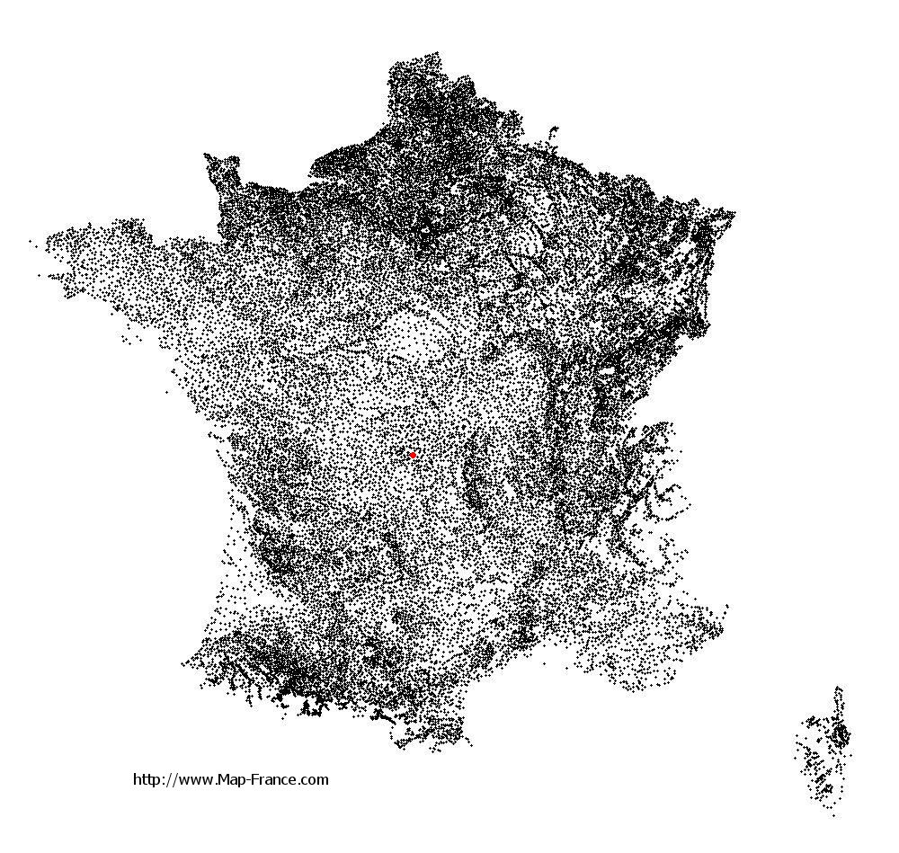
Map of Issoudun-Létrieix with regions and prefectures
|
View the map of Issoudun-Létrieix in full screen (1000 x 949)
|
You will find the location of Issoudun-Létrieix on the map of France of regions in Lambert 93 coordinates. The town of Issoudun-Létrieix is located in the department of Creuse of the french region Limousin.
Geographical sexagesimal coordinates / GPS (WGS84):
Latitude: 46° 03' 37'' North
Longitude: 02° 08' 35'' East
Geographical decimal coordinates :
Latitude: 46.061 degrees (46.061° North)
Longitude: 2.145 degrees (2.145° East)
Lambert 93 coordinates :
X: 6 337 hectometers
Y: 65 515 hectometers
Lambert 2 coordinates :
X: 5 850 hectometers
Y: 21 178 hectometers
Below, the geographical coordinates of Guéret, prefecture of the Creuse department:
Geographical sexagesimal coordinates / GPS (WGS84):
Latitude: 46° 10' 14'' North
Longitude: 01° 52' 06'' East
Geographical decimal coordinates :
Latitude: 46.169 degrees (46.169° North)
Longitude: 1.875 degrees (1.875° East)
Lambert 93 coordinates :
X: 6 127 hectometers
Y: 65 640 hectometers
Lambert 2 coordinates :
X: 5 638 hectometers
Y: 21 301 hectometers
|
This map of Issoudun-Létrieix is reusable and modifiable by making a link to this page of the Map-France.com website or by using the given code :
|
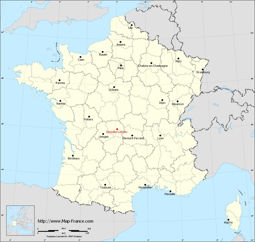
Map of Issoudun-Létrieix with departments and prefectures
|
Voir la carte of Issoudun-Létrieix en grand format (1000 x 949)
|
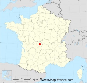
Here is the localization of Issoudun-Létrieix on the France map of departments in Lambert 93 coordinates. The city of Issoudun-Létrieix is shown on the map by a red point.
The town of Issoudun-Létrieix is located in the department of Creuse of the french region Limousin.
The latitude of Issoudun-Létrieix is 46.061 degrees North.
The longitude of Issoudun-Létrieix is 2.145 degrees East.
Here the distance between Issoudun-Létrieix and the biggest cities of France:
Distances are calculated as the crow flies (orthodromic distance)
Distance between Issoudun-Létrieix and Paris : 311.43 kilometers
Distance between Issoudun-Létrieix and Marseille : 400.41 kilometers
Distance between Issoudun-Létrieix and Lyon : 210.6 kilometers
Distance between Issoudun-Létrieix and Toulouse : 278.87 kilometers
Distance between Issoudun-Létrieix and Nice : 480.21 kilometers
Distance between Issoudun-Létrieix and Nantes : 310.07 kilometers
Distance between Issoudun-Létrieix and Strasbourg : 506.92 kilometers
Distance between Issoudun-Létrieix and Montpellier : 304.6 kilometers
Distance between Issoudun-Létrieix and Bordeaux : 251.49 kilometers
Distance between Issoudun-Létrieix and Lille : 511.74 kilometers
Distance between Issoudun-Létrieix and Rennes : 367.97 kilometers
Distance between Issoudun-Létrieix and Reims : 382.19 kilometers
Clic here to see the map of Issoudun-Létrieix in full screen:
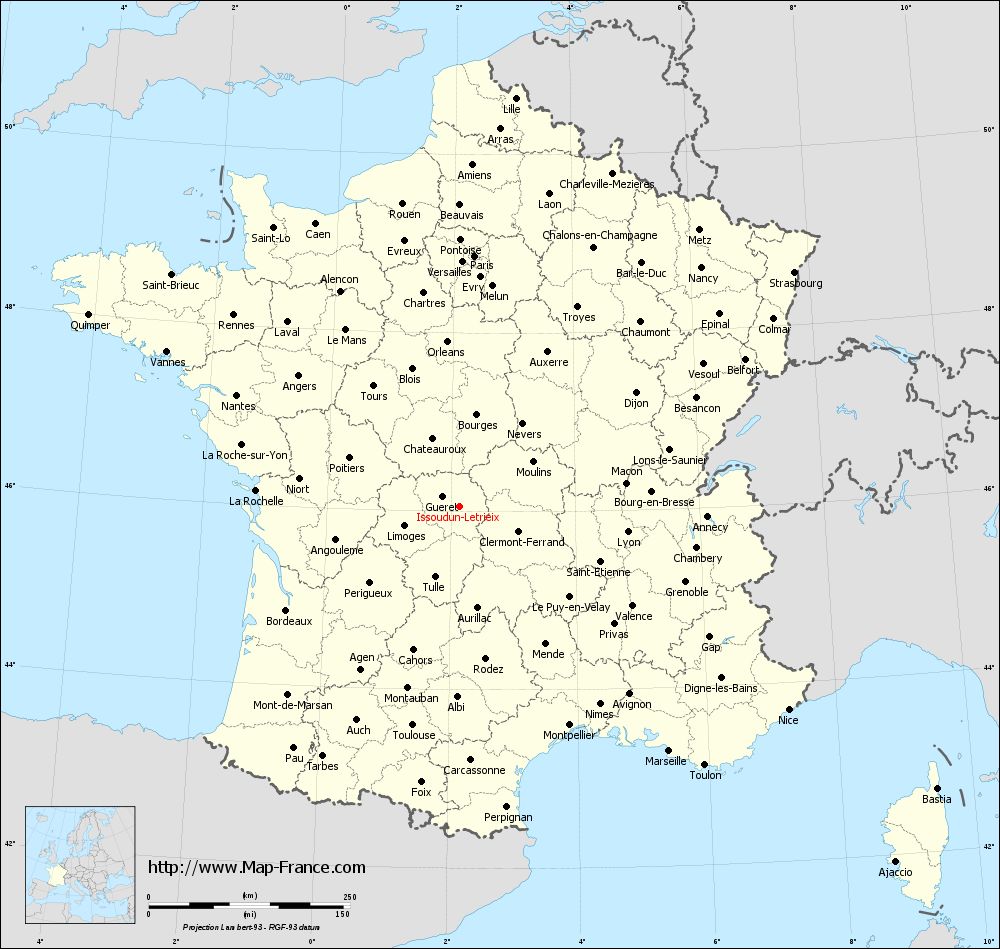
Issoudun-Létrieix on the map of french departments
|
This administrative map of Issoudun-Létrieix is reusable and modifiable by making a link to this page of the Map-France.com website or by using the given code :
|
Administrative base maps of Issoudun-Létrieix
|

See the administrative base map of Issoudun-Létrieix in full screen (1000 x 949)
|
Small administrative base map of Issoudun-Létrieix
|
This base map administrative of Issoudun-Létrieix is reusable and modifiable by making a link to this page of the Map-France.com website or by using the given code :
|
 French Version : http://www.cartesfrance.fr