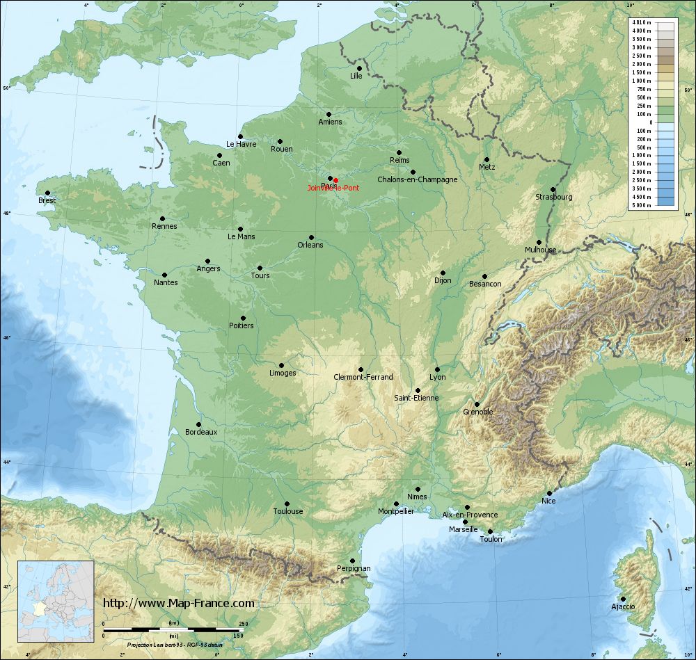
Joinville-le-Pont on the relief France map in Lambert 93 coordinates
|
See the map of Joinville-le-Pont in full screen (1000 x 949)
|
At left, here is the location of Joinville-le-Pont on the relief France map in Lambert 93 coordinates.
Here are the altitudes of Joinville-le-Pont :
- Town hall altitude of Joinville-le-Pont is 37 meters
- Minimum altitude of Joinville-le-Pont is 33 meters
- Maximum altitude of Joinville-le-Pont is 61 meters
- Medium altitude of Joinville-le-Pont is 47 meters
Here are the altitudes of Créteil, prefecture of Val-de-Marne department:
- Town hall altitude of Créteil is 34 meters
- Minimum altitude of Créteil is 31 meters
- Maximum altitude of Créteil is 74 meters
- Medium altitude of Créteil is 53 meters
Here are the altitudes of the french biggest cities:
Paris : 33 meters
Marseille : 20 meters
Lyon : 237 meters
Toulouse : 146 meters
Nice : 10 meters
Nantes : 20 meters
Strasbourg : 144 meters
Montpellier : 35 meters
Bordeaux : 16 meters
Lille : 20 meters
Rennes : 35 meters
Reims : 83 meters
Click here for the terrain map of Joinville-le-Pont in full screen:
Relief map of Joinville-le-Pont
|
This relief map of Joinville-le-Pont is reusable and modifiable by making a link to this page of the Map-France.com website or by using the given code :
|
Terrain base map of Joinville-le-Pont
|

See the terrain base map of Joinville-le-Pont in full screen (1000 x 949)
|
Small relief base map of Joinville-le-Pont

|
This base map of Joinville-le-Pont is reusable and modifiable by making a link to this page of the Map-France.com website or by using the given code :
|
Map of Joinville-le-Pont with regions and prefectures
|
View the map of Joinville-le-Pont in full screen (1000 x 949)
|
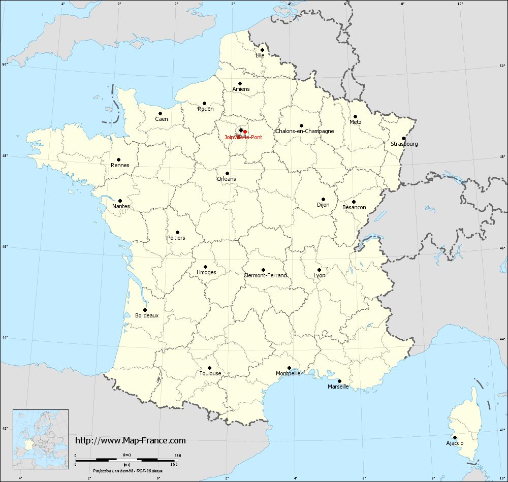
You will find the location of Joinville-le-Pont on the map of France of regions in Lambert 93 coordinates. The city of Joinville-le-Pont is located in the department of Val-de-Marne of the french region Île-de-France.
Geographical sexagesimal coordinates / GPS (WGS84):
Latitude: 48° 49' 17'' North
Longitude: 02° 28' 22'' East
Geographical decimal coordinates :
Latitude: 48.823 degrees (48.823° North)
Longitude: 2.475 degrees (2.475° East)
Lambert 93 coordinates :
X: 6 613 hectometers
Y: 68 580 hectometers
Lambert 2 coordinates :
X: 6 100 hectometers
Y: 24 248 hectometers
Below, the geographical coordinates of Créteil, prefecture of the Val-de-Marne department:
Geographical sexagesimal coordinates / GPS (WGS84):
Latitude: 48° 47' 26'' North
Longitude: 02° 27' 43'' East
Geographical decimal coordinates :
Latitude: 48.793 degrees (48.793° North)
Longitude: 2.461 degrees (2.461° East)
Lambert 93 coordinates :
X: 6 605 hectometers
Y: 68 546 hectometers
Lambert 2 coordinates :
X: 6 092 hectometers
Y: 24 213 hectometers
|
This map of Joinville-le-Pont is reusable and modifiable by making a link to this page of the Map-France.com website or by using the given code :
|
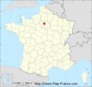
Map of Joinville-le-Pont with departments and prefectures
|
Voir la carte of Joinville-le-Pont en grand format (1000 x 949)
|
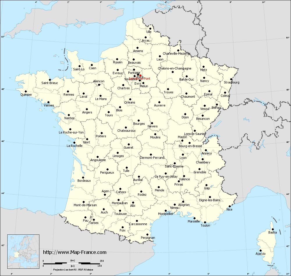
Here is the localization of Joinville-le-Pont on the France map of departments in Lambert 93 coordinates. The city of Joinville-le-Pont is shown on the map by a red point.
The city of Joinville-le-Pont is located in the department of Val-de-Marne of the french region Île-de-France.
The latitude of Joinville-le-Pont is 48.823 degrees North.
The longitude of Joinville-le-Pont is 2.475 degrees East.
Here the distance between Joinville-le-Pont and the biggest cities of France:
Distances are calculated as the crow flies (orthodromic distance)
Distance between Joinville-le-Pont and Paris : 10.32 kilometers
Distance between Joinville-le-Pont and Marseille : 653.92 kilometers
Distance between Joinville-le-Pont and Lyon : 383.99 kilometers
Distance between Joinville-le-Pont and Toulouse : 585.66 kilometers
Distance between Joinville-le-Pont and Nice : 676.79 kilometers
Distance between Joinville-le-Pont and Nantes : 348.37 kilometers
Distance between Joinville-le-Pont and Strasbourg : 388.05 kilometers
Distance between Joinville-le-Pont and Montpellier : 589.23 kilometers
Distance between Joinville-le-Pont and Bordeaux : 499.22 kilometers
Distance between Joinville-le-Pont and Lille : 204.64 kilometers
Distance between Joinville-le-Pont and Rennes : 316.23 kilometers
Distance between Joinville-le-Pont and Reims : 123.21 kilometers
Clic here to see the map of Joinville-le-Pont in full screen:
Joinville-le-Pont on the map of french departments
|
This administrative map of Joinville-le-Pont is reusable and modifiable by making a link to this page of the Map-France.com website or by using the given code :
|
Administrative base maps of Joinville-le-Pont
|

See the administrative base map of Joinville-le-Pont in full screen (1000 x 949)
|
Small administrative base map of Joinville-le-Pont
|
This base map administrative of Joinville-le-Pont is reusable and modifiable by making a link to this page of the Map-France.com website or by using the given code :
|
 French Version : http://www.cartesfrance.fr