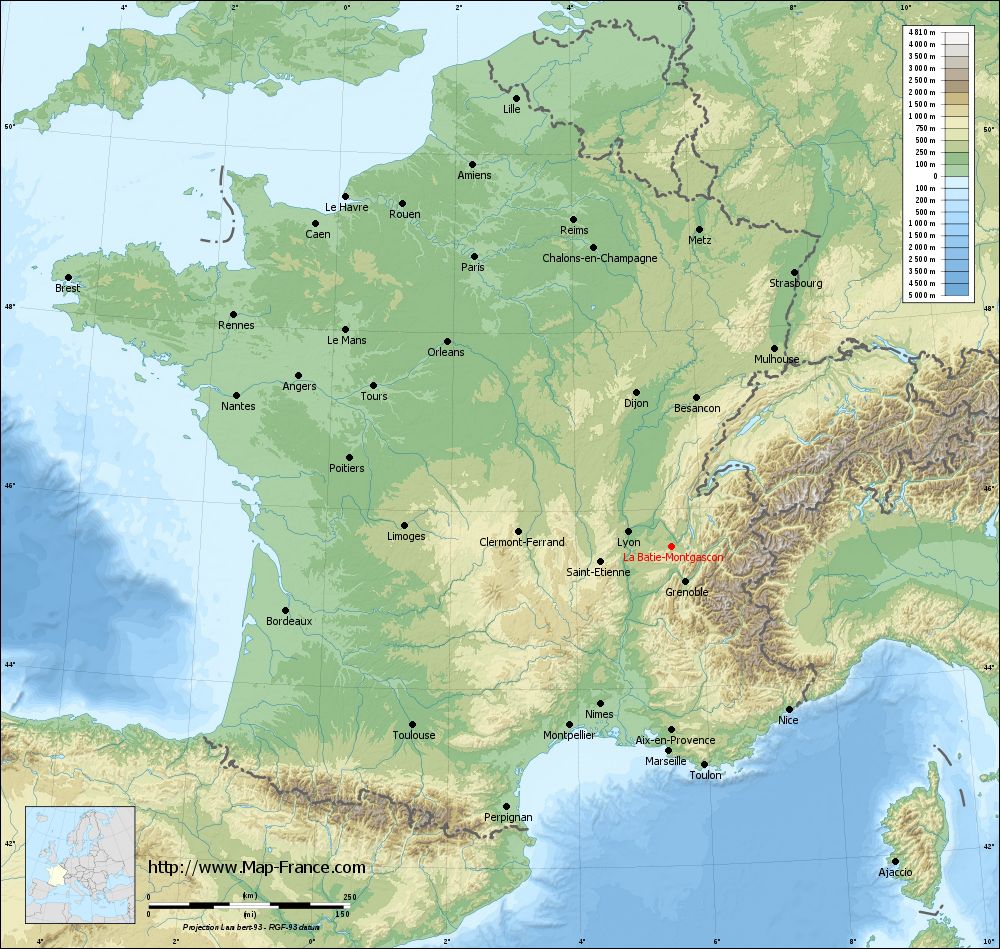
La Bâtie-Montgascon on the relief France map in Lambert 93 coordinates
|
See the map of La Bâtie-Montgascon in full screen (1000 x 949)
|
At left, here is the location of La Bâtie-Montgascon on the relief France map in Lambert 93 coordinates.
Here are the altitudes of La Bâtie-Montgascon :
- Town hall altitude of La Bâtie-Montgascon is 375 meters
- Minimum altitude of La Bâtie-Montgascon is 314 meters
- Maximum altitude of La Bâtie-Montgascon is 425 meters
- Medium altitude of La Bâtie-Montgascon is 370 meters
Here are the altitudes of Grenoble, prefecture of Isère department:
- Town hall altitude of Grenoble is 212 meters
- Minimum altitude of Grenoble is 204 meters
- Maximum altitude of Grenoble is 600 meters
- Medium altitude of Grenoble is 402 meters
Here are the altitudes of the french biggest cities:
Paris : 33 meters
Marseille : 20 meters
Lyon : 237 meters
Toulouse : 146 meters
Nice : 10 meters
Nantes : 20 meters
Strasbourg : 144 meters
Montpellier : 35 meters
Bordeaux : 16 meters
Lille : 20 meters
Rennes : 35 meters
Reims : 83 meters
Click here for the terrain map of La Bâtie-Montgascon in full screen:
Relief map of La Bâtie-Montgascon
|
This relief map of La Bâtie-Montgascon is reusable and modifiable by making a link to this page of the Map-France.com website or by using the given code :
|
Terrain base map of La Bâtie-Montgascon
|

See the terrain base map of La Bâtie-Montgascon in full screen (1000 x 949)
|
Small relief base map of La Bâtie-Montgascon

|
This base map of La Bâtie-Montgascon is reusable and modifiable by making a link to this page of the Map-France.com website or by using the given code :
|
Map of La Bâtie-Montgascon with regions and prefectures
|
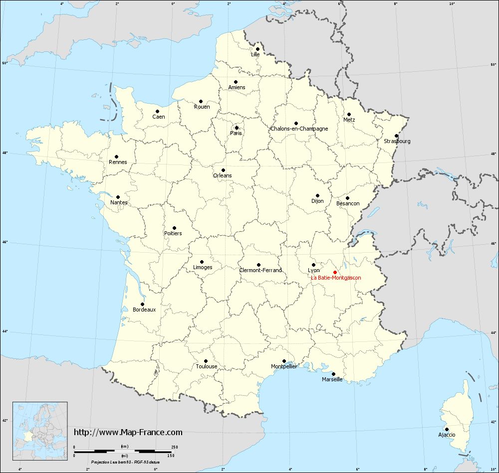
View the map of La Bâtie-Montgascon in full screen (1000 x 949)
|
You will find the location of La Bâtie-Montgascon on the map of France of regions in Lambert 93 coordinates. The town of La Bâtie-Montgascon is located in the department of Isère of the french region Rhône-Alpes.
Geographical sexagesimal coordinates / GPS (WGS84):
Latitude: 45° 34' 45'' North
Longitude: 05° 31' 41'' East
Geographical decimal coordinates :
Latitude: 45.579 degrees (45.579° North)
Longitude: 5.528 degrees (5.528° East)
Lambert 93 coordinates :
X: 8 971 hectometers
Y: 65 009 hectometers
Lambert 2 coordinates :
X: 8 490 hectometers
Y: 20 694 hectometers
Below, the geographical coordinates of Grenoble, prefecture of the Isère department:
Geographical sexagesimal coordinates / GPS (WGS84):
Latitude: 45° 11' 13'' North
Longitude: 05° 43' 35'' East
Geographical decimal coordinates :
Latitude: 45.185 degrees (45.185° North)
Longitude: 5.723 degrees (5.723° East)
Lambert 93 coordinates :
X: 9 141 hectometers
Y: 64 579 hectometers
Lambert 2 coordinates :
X: 8 664 hectometers
Y: 20 264 hectometers
|
This map of La Bâtie-Montgascon is reusable and modifiable by making a link to this page of the Map-France.com website or by using the given code :
|
Map of La Bâtie-Montgascon with departments and prefectures
|
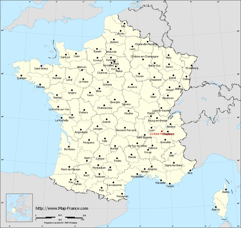
Voir la carte of La Bâtie-Montgascon en grand format (1000 x 949)
|
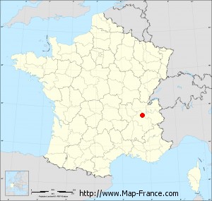
Here is the localization of La Bâtie-Montgascon on the France map of departments in Lambert 93 coordinates. The city of La Bâtie-Montgascon is shown on the map by a red point.
The town of La Bâtie-Montgascon is located in the department of Isère of the french region Rhône-Alpes.
The latitude of La Bâtie-Montgascon is 45.579 degrees North.
The longitude of La Bâtie-Montgascon is 5.528 degrees East.
Here the distance between La Bâtie-Montgascon and the biggest cities of France:
Distances are calculated as the crow flies (orthodromic distance)
Distance between La Bâtie-Montgascon and Paris : 436.47 kilometers
Distance between La Bâtie-Montgascon and Marseille : 253.74 kilometers
Distance between La Bâtie-Montgascon and Lyon : 57.43 kilometers
Distance between La Bâtie-Montgascon and Toulouse : 390.4 kilometers
Distance between La Bâtie-Montgascon and Nice : 249.21 kilometers
Distance between La Bâtie-Montgascon and Nantes : 572.15 kilometers
Distance between La Bâtie-Montgascon and Strasbourg : 373.96 kilometers
Distance between La Bâtie-Montgascon and Montpellier : 255.05 kilometers
Distance between La Bâtie-Montgascon and Bordeaux : 484.54 kilometers
Distance between La Bâtie-Montgascon and Lille : 590.33 kilometers
Distance between La Bâtie-Montgascon and Rennes : 615.29 kilometers
Distance between La Bâtie-Montgascon and Reims : 423.9 kilometers
Clic here to see the map of La Bâtie-Montgascon in full screen:
La Bâtie-Montgascon on the map of french departments
|
This administrative map of La Bâtie-Montgascon is reusable and modifiable by making a link to this page of the Map-France.com website or by using the given code :
|
Administrative base maps of La Bâtie-Montgascon
|

See the administrative base map of La Bâtie-Montgascon in full screen (1000 x 949)
|
Small administrative base map of La Bâtie-Montgascon
|
This base map administrative of La Bâtie-Montgascon is reusable and modifiable by making a link to this page of the Map-France.com website or by using the given code :
|
 French Version : http://www.cartesfrance.fr