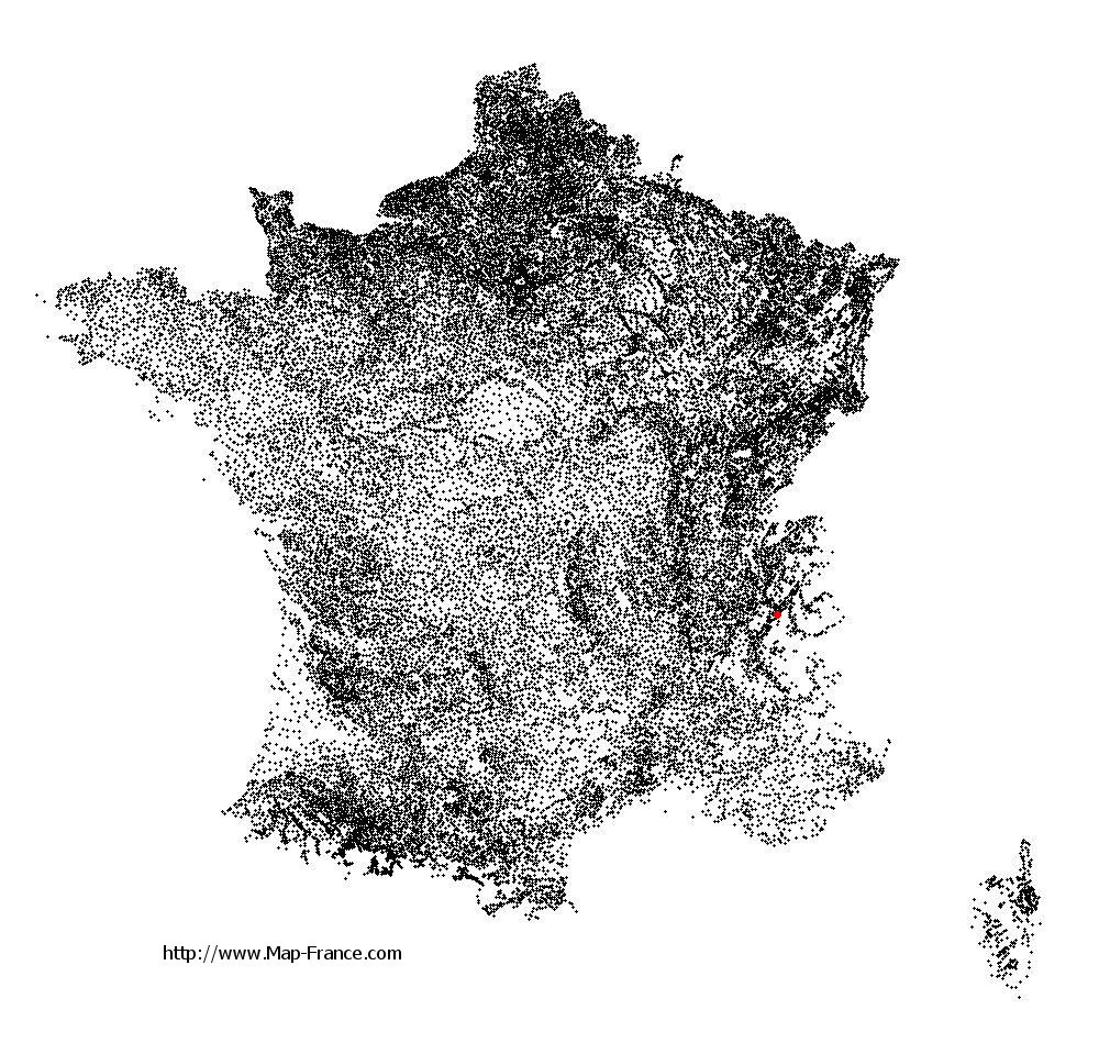
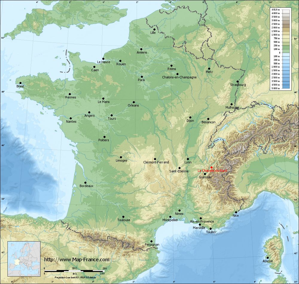
La Chapelle-du-Bard on the relief France map in Lambert 93 coordinates
|
See the map of La Chapelle-du-Bard in full screen (1000 x 949)
|
At left, here is the location of La Chapelle-du-Bard on the relief France map in Lambert 93 coordinates.
Here are the altitudes of La Chapelle-du-Bard :
- Town hall altitude of La Chapelle-du-Bard is 420 meters
- Minimum altitude of La Chapelle-du-Bard is 358 meters
- Maximum altitude of La Chapelle-du-Bard is 2 526 meters
- Medium altitude of La Chapelle-du-Bard is 1 442 meters
Here are the altitudes of Grenoble, prefecture of Isère department:
- Town hall altitude of Grenoble is 212 meters
- Minimum altitude of Grenoble is 204 meters
- Maximum altitude of Grenoble is 600 meters
- Medium altitude of Grenoble is 402 meters
Here are the altitudes of the french biggest cities:
Paris : 33 meters
Marseille : 20 meters
Lyon : 237 meters
Toulouse : 146 meters
Nice : 10 meters
Nantes : 20 meters
Strasbourg : 144 meters
Montpellier : 35 meters
Bordeaux : 16 meters
Lille : 20 meters
Rennes : 35 meters
Reims : 83 meters
Click here for the terrain map of La Chapelle-du-Bard in full screen:
Relief map of La Chapelle-du-Bard
|
This relief map of La Chapelle-du-Bard is reusable and modifiable by making a link to this page of the Map-France.com website or by using the given code :
|
Terrain base map of La Chapelle-du-Bard
|

See the terrain base map of La Chapelle-du-Bard in full screen (1000 x 949)
|
Small relief base map of La Chapelle-du-Bard

|
This base map of La Chapelle-du-Bard is reusable and modifiable by making a link to this page of the Map-France.com website or by using the given code :
|
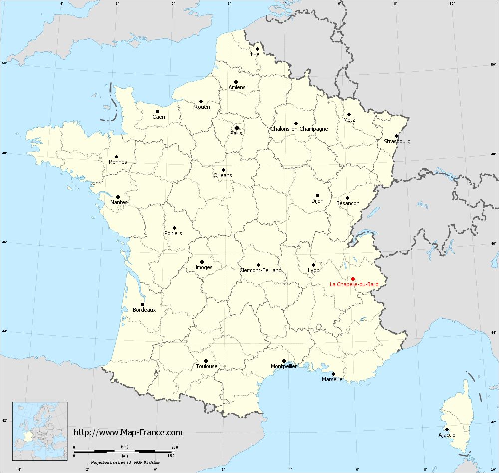
Map of La Chapelle-du-Bard with regions and prefectures
|
View the map of La Chapelle-du-Bard in full screen (1000 x 949)
|
You will find the location of La Chapelle-du-Bard on the map of France of regions in Lambert 93 coordinates. The town of La Chapelle-du-Bard is located in the department of Isère of the french region Rhône-Alpes.
Geographical sexagesimal coordinates / GPS (WGS84):
Latitude: 45° 25' 22'' North
Longitude: 06° 05' 44'' East
Geographical decimal coordinates :
Latitude: 45.422 degrees (45.422° North)
Longitude: 6.096 degrees (6.096° East)
Lambert 93 coordinates :
X: 9 420 hectometers
Y: 64 851 hectometers
Lambert 2 coordinates :
X: 8 941 hectometers
Y: 20 540 hectometers
Below, the geographical coordinates of Grenoble, prefecture of the Isère department:
Geographical sexagesimal coordinates / GPS (WGS84):
Latitude: 45° 11' 13'' North
Longitude: 05° 43' 35'' East
Geographical decimal coordinates :
Latitude: 45.185 degrees (45.185° North)
Longitude: 5.723 degrees (5.723° East)
Lambert 93 coordinates :
X: 9 141 hectometers
Y: 64 579 hectometers
Lambert 2 coordinates :
X: 8 664 hectometers
Y: 20 264 hectometers
|
This map of La Chapelle-du-Bard is reusable and modifiable by making a link to this page of the Map-France.com website or by using the given code :
|
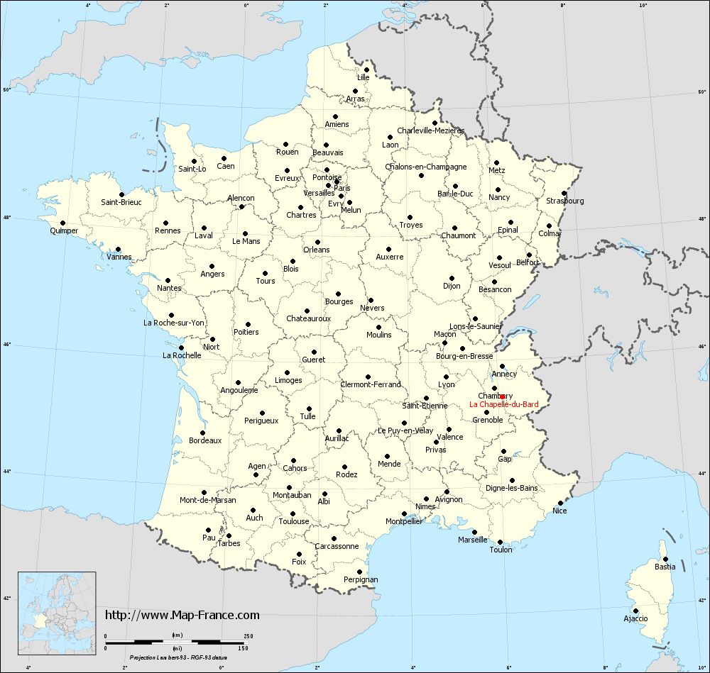
Map of La Chapelle-du-Bard with departments and prefectures
|
Voir la carte of La Chapelle-du-Bard en grand format (1000 x 949)
|
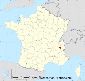
Here is the localization of La Chapelle-du-Bard on the France map of departments in Lambert 93 coordinates. The city of La Chapelle-du-Bard is shown on the map by a red point.
The town of La Chapelle-du-Bard is located in the department of Isère of the french region Rhône-Alpes.
The latitude of La Chapelle-du-Bard is 45.422 degrees North.
The longitude of La Chapelle-du-Bard is 6.096 degrees East.
Here the distance between La Chapelle-du-Bard and the biggest cities of France:
Distances are calculated as the crow flies (orthodromic distance)
Distance between La Chapelle-du-Bard and Paris : 475.6 kilometers
Distance between La Chapelle-du-Bard and Marseille : 242.44 kilometers
Distance between La Chapelle-du-Bard and Lyon : 105 kilometers
Distance between La Chapelle-du-Bard and Toulouse : 419.99 kilometers
Distance between La Chapelle-du-Bard and Nice : 211.8 kilometers
Distance between La Chapelle-du-Bard and Nantes : 619.73 kilometers
Distance between La Chapelle-du-Bard and Strasbourg : 373.17 kilometers
Distance between La Chapelle-du-Bard and Montpellier : 267.5 kilometers
Distance between La Chapelle-du-Bard and Bordeaux : 526.68 kilometers
Distance between La Chapelle-du-Bard and Lille : 621.15 kilometers
Distance between La Chapelle-du-Bard and Rennes : 662.39 kilometers
Distance between La Chapelle-du-Bard and Reims : 453.63 kilometers
Clic here to see the map of La Chapelle-du-Bard in full screen:
La Chapelle-du-Bard on the map of french departments
|
This administrative map of La Chapelle-du-Bard is reusable and modifiable by making a link to this page of the Map-France.com website or by using the given code :
|
Administrative base maps of La Chapelle-du-Bard
|

See the administrative base map of La Chapelle-du-Bard in full screen (1000 x 949)
|
Small administrative base map of La Chapelle-du-Bard
|
This base map administrative of La Chapelle-du-Bard is reusable and modifiable by making a link to this page of the Map-France.com website or by using the given code :
|
 French Version : http://www.cartesfrance.fr