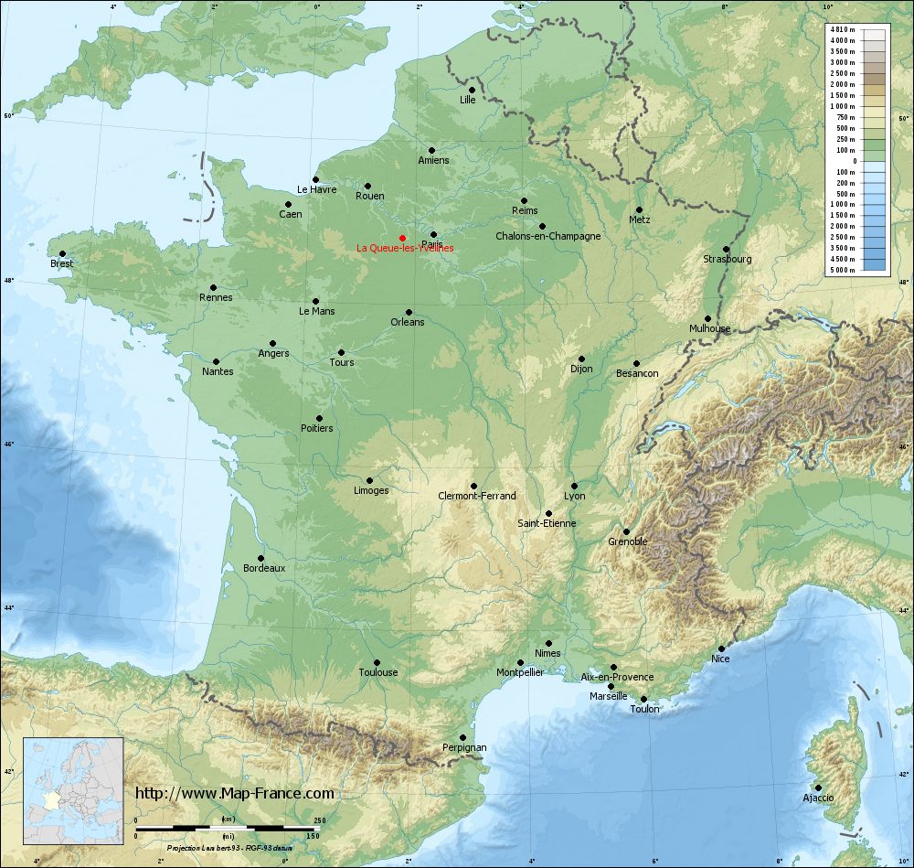
La Queue-les-Yvelines on the relief France map in Lambert 93 coordinates
|
See the map of La Queue-les-Yvelines in full screen (1000 x 949)
|
At left, here is the location of La Queue-les-Yvelines on the relief France map in Lambert 93 coordinates.
Here are the altitudes of La Queue-les-Yvelines :
- Town hall altitude of La Queue-les-Yvelines is 130 meters
- Minimum altitude of La Queue-les-Yvelines is 96 meters
- Maximum altitude of La Queue-les-Yvelines is 188 meters
- Medium altitude of La Queue-les-Yvelines is 142 meters
Here are the altitudes of Versailles, prefecture of Yvelines department:
- Town hall altitude of Versailles is 135 meters
- Minimum altitude of Versailles is 103 meters
- Maximum altitude of Versailles is 180 meters
- Medium altitude of Versailles is 142 meters
Here are the altitudes of the french biggest cities:
Paris : 33 meters
Marseille : 20 meters
Lyon : 237 meters
Toulouse : 146 meters
Nice : 10 meters
Nantes : 20 meters
Strasbourg : 144 meters
Montpellier : 35 meters
Bordeaux : 16 meters
Lille : 20 meters
Rennes : 35 meters
Reims : 83 meters
Click here for the terrain map of La Queue-les-Yvelines in full screen:
Relief map of La Queue-les-Yvelines
|
This relief map of La Queue-les-Yvelines is reusable and modifiable by making a link to this page of the Map-France.com website or by using the given code :
|
Terrain base map of La Queue-les-Yvelines
|

See the terrain base map of La Queue-les-Yvelines in full screen (1000 x 949)
|
Small relief base map of La Queue-les-Yvelines

|
This base map of La Queue-les-Yvelines is reusable and modifiable by making a link to this page of the Map-France.com website or by using the given code :
|
Map of La Queue-les-Yvelines with regions and prefectures
|
View the map of La Queue-les-Yvelines in full screen (1000 x 949)
|
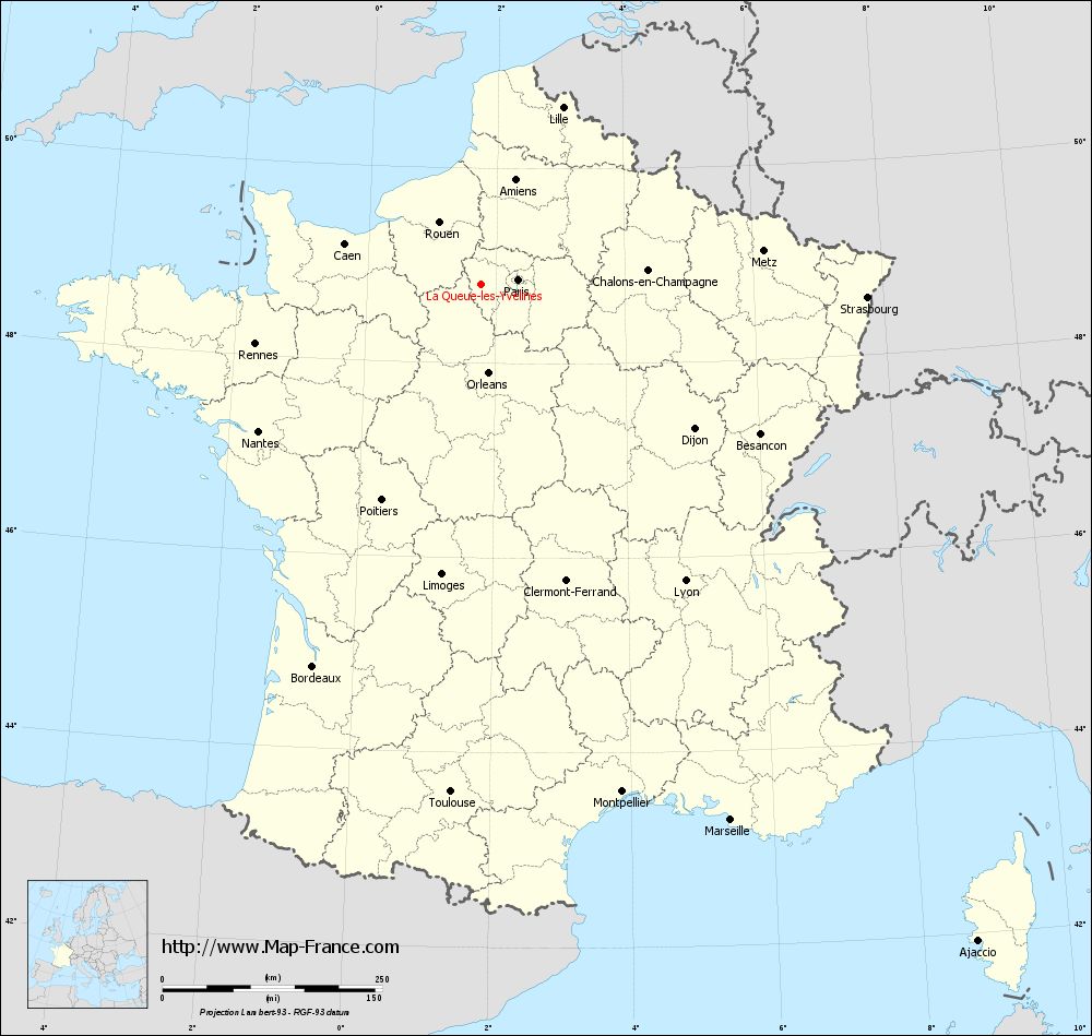
You will find the location of La Queue-les-Yvelines on the map of France of regions in Lambert 93 coordinates. The city of La Queue-les-Yvelines is located in the department of Yvelines of the french region Île-de-France.
Geographical sexagesimal coordinates / GPS (WGS84):
Latitude: 48° 48' 19'' North
Longitude: 01° 46' 06'' East
Geographical decimal coordinates :
Latitude: 48.806 degrees (48.806° North)
Longitude: 1.768 degrees (1.768° East)
Lambert 93 coordinates :
X: 6 096 hectometers
Y: 68 568 hectometers
Lambert 2 coordinates :
X: 5 583 hectometers
Y: 24 231 hectometers
Below, the geographical coordinates of Versailles, prefecture of the Yvelines department:
Geographical sexagesimal coordinates / GPS (WGS84):
Latitude: 48° 48' 17'' North
Longitude: 02° 08' 03'' East
Geographical decimal coordinates :
Latitude: 48.807 degrees (48.807° North)
Longitude: 2.137 degrees (2.137° East)
Lambert 93 coordinates :
X: 6 364 hectometers
Y: 68 564 hectometers
Lambert 2 coordinates :
X: 5 851 hectometers
Y: 24 229 hectometers
|
This map of La Queue-les-Yvelines is reusable and modifiable by making a link to this page of the Map-France.com website or by using the given code :
|
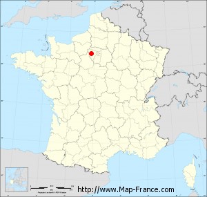
Map of La Queue-les-Yvelines with departments and prefectures
|
Voir la carte of La Queue-les-Yvelines en grand format (1000 x 949)
|
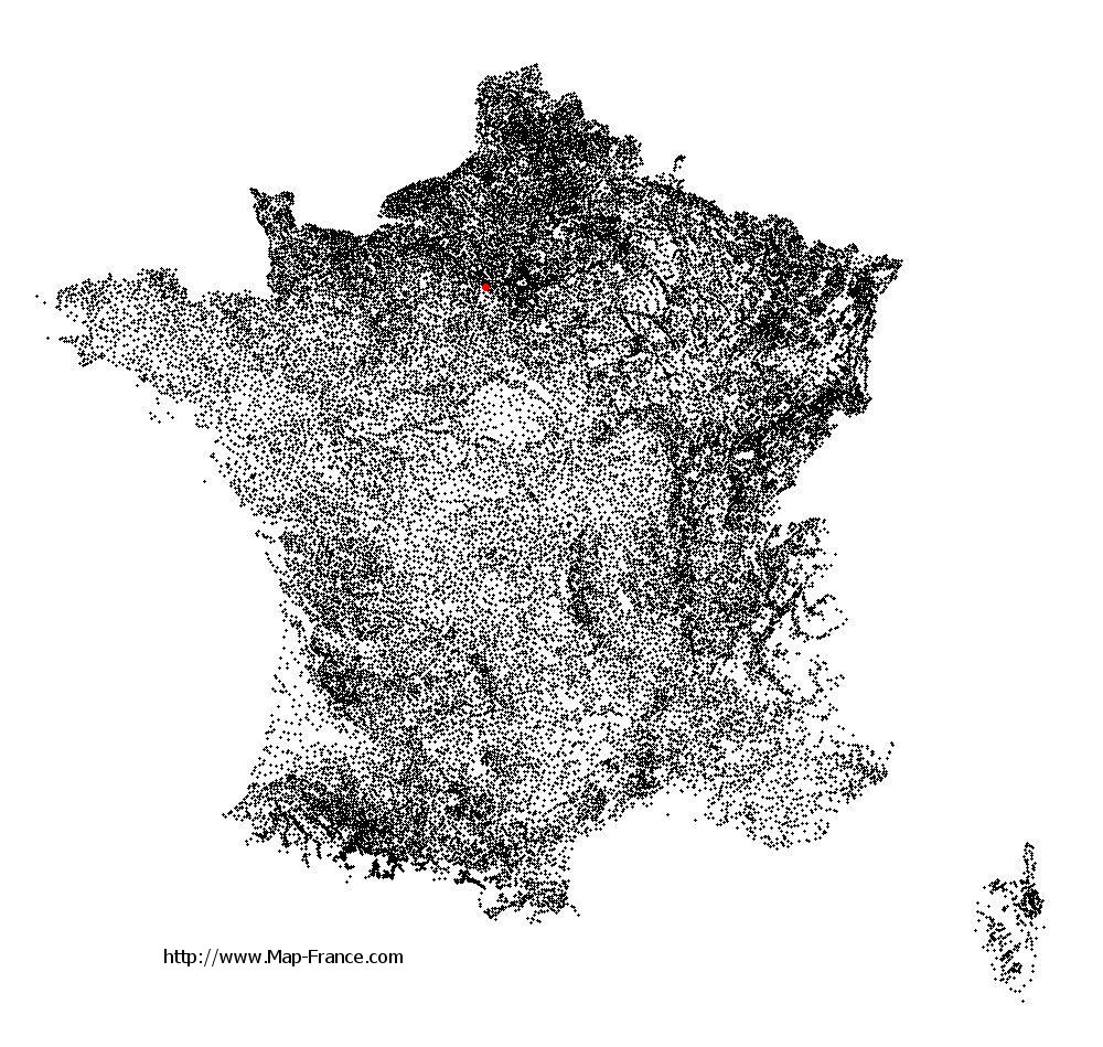
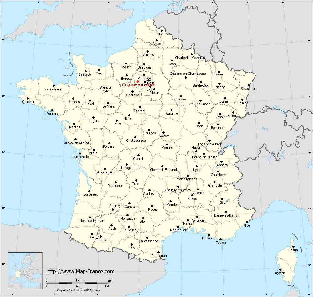
Here is the localization of La Queue-les-Yvelines on the France map of departments in Lambert 93 coordinates. The city of La Queue-les-Yvelines is shown on the map by a red point.
The city of La Queue-les-Yvelines is located in the department of Yvelines of the french region Île-de-France.
The latitude of La Queue-les-Yvelines is 48.806 degrees North.
The longitude of La Queue-les-Yvelines is 1.768 degrees East.
Here the distance between La Queue-les-Yvelines and the biggest cities of France:
Distances are calculated as the crow flies (orthodromic distance)
Distance between La Queue-les-Yvelines and Paris : 42.72 kilometers
Distance between La Queue-les-Yvelines and Marseille : 672.91 kilometers
Distance between La Queue-les-Yvelines and Lyon : 409.83 kilometers
Distance between La Queue-les-Yvelines and Toulouse : 578.98 kilometers
Distance between La Queue-les-Yvelines and Nice : 706.21 kilometers
Distance between La Queue-les-Yvelines and Nantes : 303.34 kilometers
Distance between La Queue-les-Yvelines and Strasbourg : 439.74 kilometers
Distance between La Queue-les-Yvelines and Montpellier : 599.7 kilometers
Distance between La Queue-les-Yvelines and Bordeaux : 474.94 kilometers
Distance between La Queue-les-Yvelines and Lille : 222.21 kilometers
Distance between La Queue-les-Yvelines and Rennes : 265.61 kilometers
Distance between La Queue-les-Yvelines and Reims : 172.37 kilometers
Clic here to see the map of La Queue-les-Yvelines in full screen:
La Queue-les-Yvelines on the map of french departments
|
This administrative map of La Queue-les-Yvelines is reusable and modifiable by making a link to this page of the Map-France.com website or by using the given code :
|
Administrative base maps of La Queue-les-Yvelines
|

See the administrative base map of La Queue-les-Yvelines in full screen (1000 x 949)
|
Small administrative base map of La Queue-les-Yvelines
|
This base map administrative of La Queue-les-Yvelines is reusable and modifiable by making a link to this page of the Map-France.com website or by using the given code :
|
 French Version : http://www.cartesfrance.fr