|
The village of La Sauvetat is a small village located center of France. The town of La Sauvetat is located in the department of Puy-de-Dôme of the french region Auvergne. The town of La Sauvetat is located in the township of Veyre-Monton part of the district of Clermont-Ferrand. The area code for La Sauvetat is 63413 (also known as code INSEE), and the La Sauvetat zip code is 63730.
Geography and map of La Sauvetat :
The altitude of the city hall of La Sauvetat is approximately 371 meters. The La Sauvetat surface is 7.98 km ². The latitude and longitude of La Sauvetat are 45.636 degrees North and 3.17 degrees East.
Nearby cities and towns of La Sauvetat are :
Authezat (63730) at 1.10 km, Plauzat (63730) at 2.37 km, Montpeyroux (63114) at 2.79 km, Coudes (63114) at 3.72 km, Corent (63730) at 3.90 km, Veyre-Monton (63960) at 4.22 km, Parent (63270) at 4.69 km, Saint-Sandoux (63450) at 5.05 km.
(The distances to these nearby towns of La Sauvetat are calculated as the crow flies)
Population and housing of La Sauvetat :
The population of La Sauvetat was 591 in 1999, 631 in 2006 and 639 in 2007. The population density of La Sauvetat is 80.08 inhabitants per km². The number of housing of La Sauvetat was 331 in 2007. These homes of La Sauvetat consist of 291 main residences, 16 second or occasional homes and 24 vacant homes. |
|
|
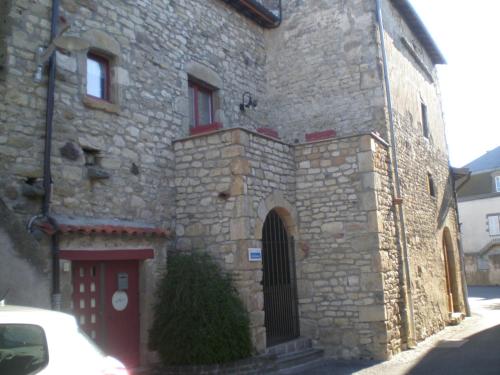
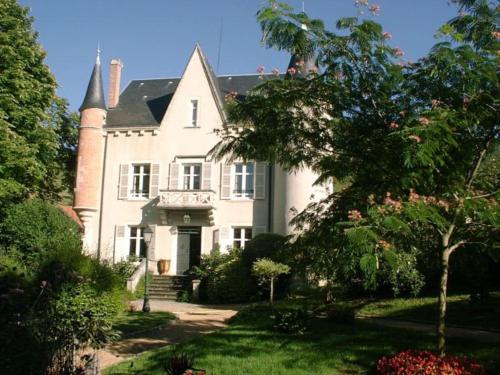
Hotel La Sauvetat
|
|
|
Book now ! Best Price Guaranteed, no booking fees, pay at the hotel with our partner Booking.com, leader in online hotel reservation.
Find all hotels of La Sauvetat : Hotel La Sauvetat
| |
|
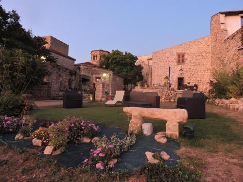
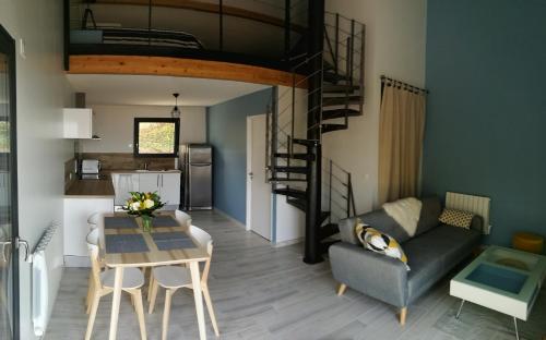
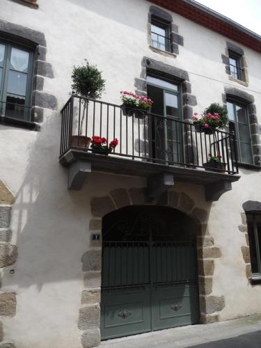
Guest accommodation : Maison du Chapitel
Featuring a terrace, Maison du Chapitel is a holiday home located in La Sauvetat, a village dating from the 13th to 15th century. The accommodation features a flat-screen TV in...
Address : 9 Rue du Chapitel 63730 La Sauvetat
Distance Guest accommodation - La Sauvetat : 0.07 km
|
|
|
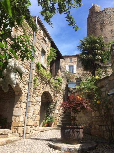
Bed and Breakfast : Le Petit Volcan
Situated in Montpeyroux in the Auvergne region, Le Petit Volcan features accommodation with free WiFi. Fitted with a terrace, the units feature a flat-screen TV and a private b...
Price : from 80.00 €
to 90.00 €
Contact : 2 Place du Cheix 63114 Montpeyroux
Distance Bed and Breakfast - La Sauvetat : 3.01 km
|
|
|
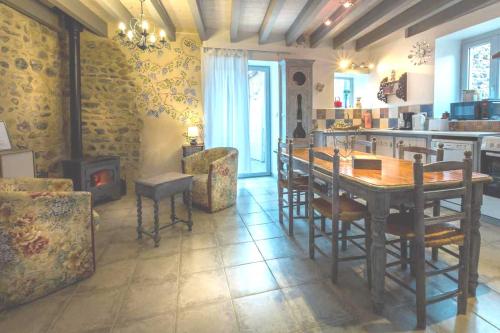
Bed and Breakfast : Chez Helen
Chez Helen offers accommodation in the heart of Montpeyroux, a medieval village on the top of a hill. The Bed and Breakfast is located 2 km from the A75 Motorway. Chez Helen fea...
Prices : from 95.00 €
Contact : 2 Montee du Guetteur 63114 Montpeyroux
Distance Bed and Breakfast - La Sauvetat : 3.14 km
|
|
|
Bed and Breakfast : Au Fond de la Cour
Au Fond de la Cour is a B&B featuring an orchard, vegetable patch and pool in the 1-hectare park, located in the Auvergne countryside. It has 2 hot tubs, a fitness room and a ho...
Contact : Impasse Harmonia 63960 Veyre-Monton
Distance Bed and Breakfast - La Sauvetat : 3.79 km
|
|
|
Hotel : Hôtel de la Poste
Located in the centre of Coudes, 1 km from the River Perache Beach, Hôtel de la Poste offers a traditional restaurant, a bar and double rooms with a TV. Free Wi-fi access is pro...
Price : from 28.00 €
to 32.00 €
Address : 2 avenue Jean Jaurès 63114 Coudes
Distance Hotel - La Sauvetat : 3.81 km
|
|
|
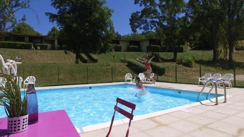
Guest accommodation : VVF Villages « Les Volcans d'Auvergne » Parent
Located in Coudes, VVF Villages Parent offers an outdoor swimming pool, a tennis court and children’s playground. Clermont-Ferrand is only a 30-minute drive away and the propert...
Prices : from 109.00 €
to 159.00 €
Contact : 2 Route de Coudes 63270 Parent
Distance Guest accommodation - La Sauvetat : 4.44 km
|
|
|
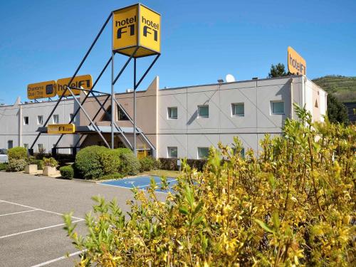
Hotel : hotelF1 Clermont Ferrand Issoire Coudes
hotelF1 Clermont Ferrand Issoire Coudes is 25 kilometres south of Clermont-Ferrand, 30 minutes from the ski resort Super Besse and from the Monts d'Auvergne. hotelF1 Clermont F...
Rate : from 28.89 €
to 34.24 €
Contact : Zac De Perrache 63114 Coudes
Distance Hotel - La Sauvetat : 4.81 km
|
|
|
Guest accommodation : L'Alphonsine
Boasting a terrace with views of the Chaine des Puys volcanic hills, L'Alphonsine is situated in Veyre-Monton, 20 km out of Clermont Ferrand. Free WiFi is included. The holiday...
Price : from 89.25 €
to 144.75 €
Contact : 19 chemin du Coulet 63960 Veyre-Monton
Distance Guest accommodation - La Sauvetat : 5.04 km
|
|
|
Guest accommodation : La Champillaumiere

Set in Champeix in the Auvergne region, La Champillaumiere is a 3-star property boasting free WiFi. The property features garden views. The holiday home includes 3 bedrooms, a ...
Address : 6 B rue de l'hospice 63320 Champeix
Distance Guest accommodation - La Sauvetat : 6.11 km
|
|
|
Bed and Breakfast : Les quatre provinces d'Irlande
Featuring free WiFi, Les Quatre provinces d'Irlande offers pet-friendly accommodation in the historic village of Saint-Amant-Tallende, 8 km from the A75 motorway. Each bedroom ...
Rate : from 75.00 €
to 135.00 €
Contact : 7 Rue Léger Gauthier 63450 Saint-Amant-Tallende
Distance Bed and Breakfast - La Sauvetat : 6.15 km
|
|
Find another hotel near La Sauvetat : La Sauvetat hotels list
|
Map of La Sauvetat
|
|
Map of La Sauvetat :
At right you can find the localization of La Sauvetat on the map of France. Below, this is the satellite map of La Sauvetat. A road map, and maps templates of La Sauvetat are available here : "road map of La Sauvetat". This map show La Sauvetat seen by the satellite of Google Map. To see the streets of La Sauvetat or move on another zone, use the buttons "zoom" and "map" on top of this dynamic map.
Search on the map of La Sauvetat :
To search hotels, housings, tourist information office, administrations or other services, use the Google search integrated to the map on the following page : "map La Sauvetat".
Hotels of La Sauvetat are listed on the map with the following icons: 
The map of La Sauvetat is centred in the following coordinates :
|

|
|
|
|
Print the map of La Sauvetat

Print the map of La Sauvetat : map of La Sauvetat
|
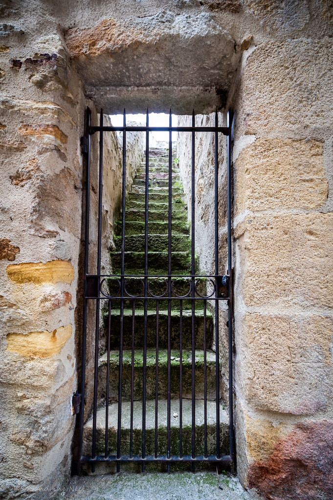
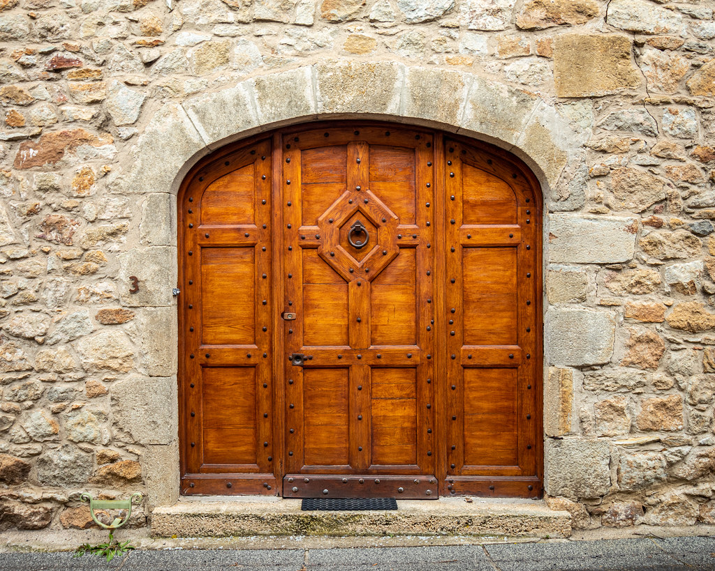
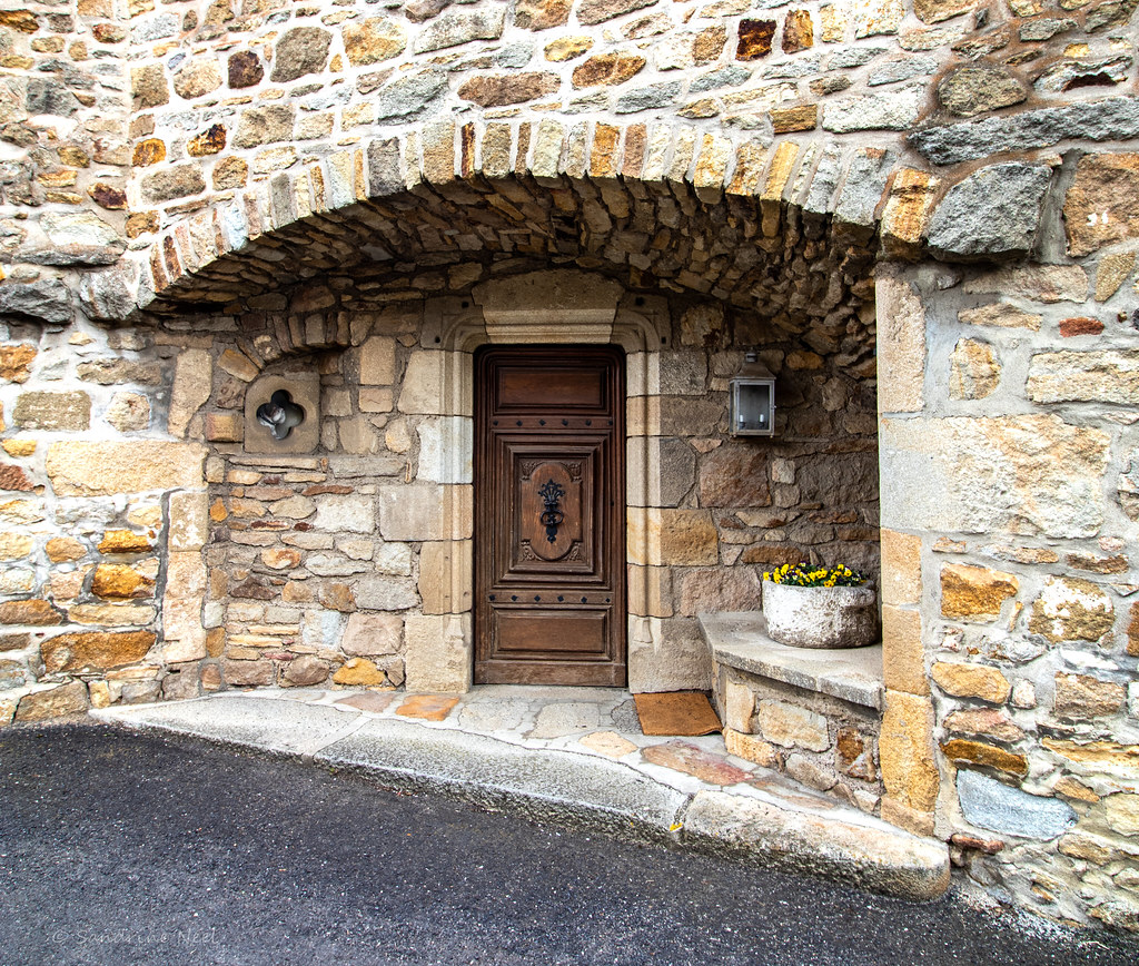
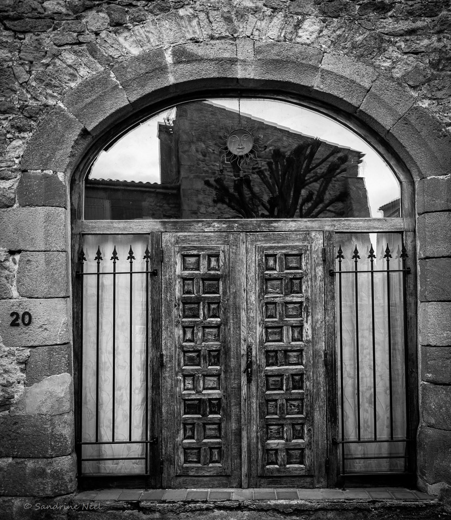
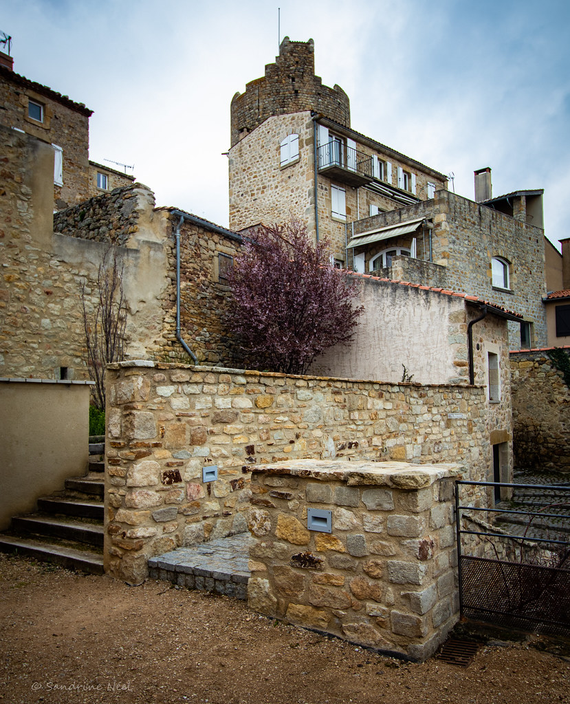
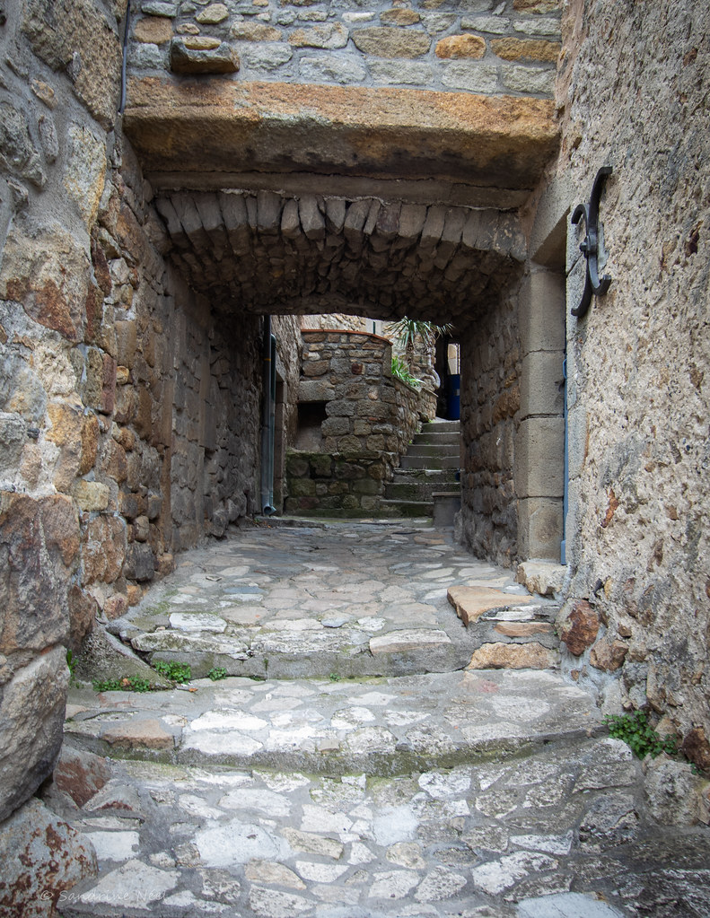
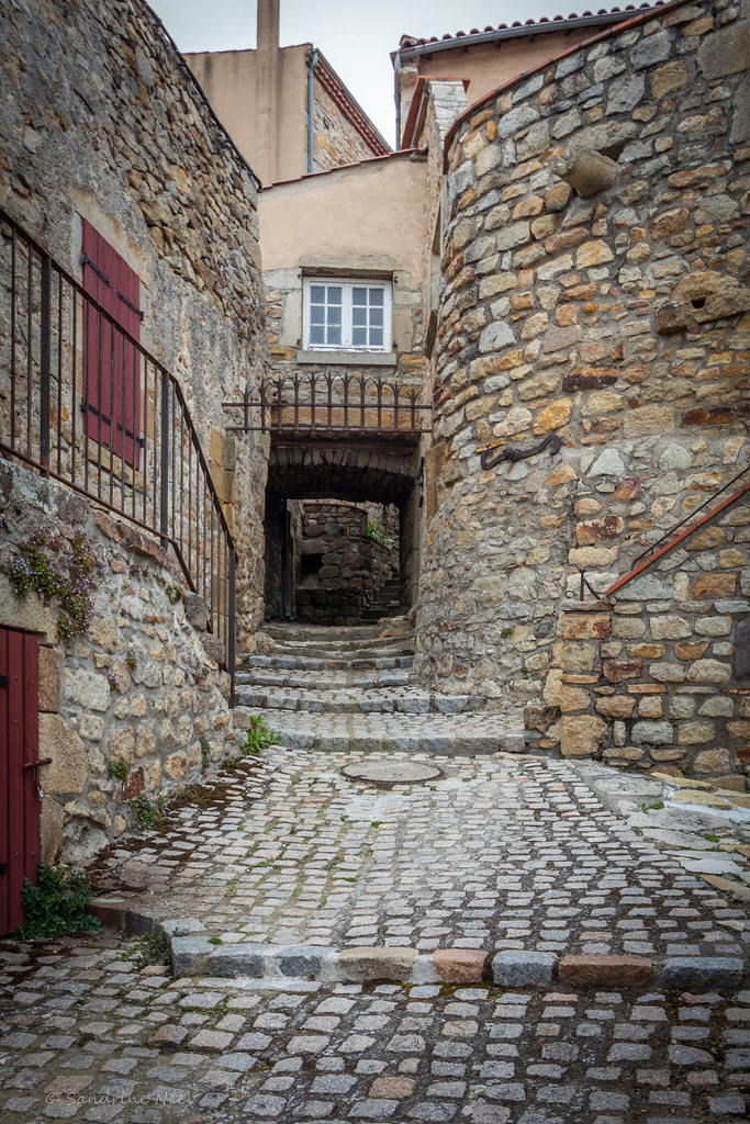
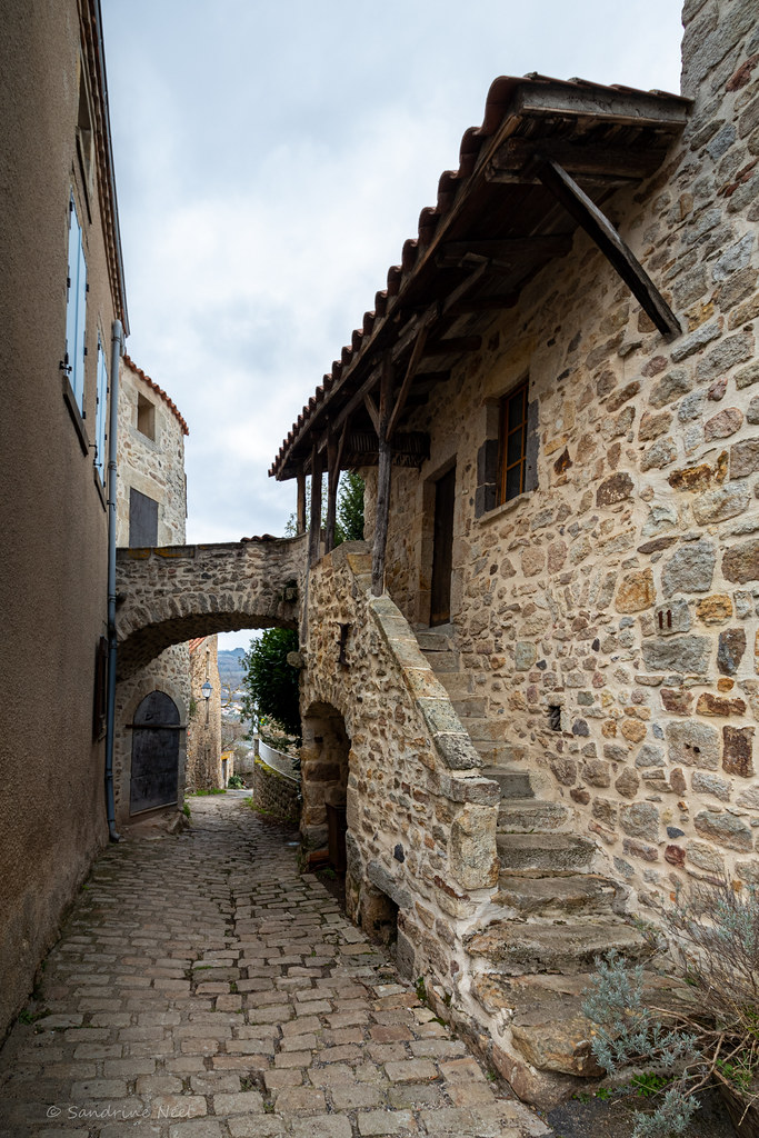
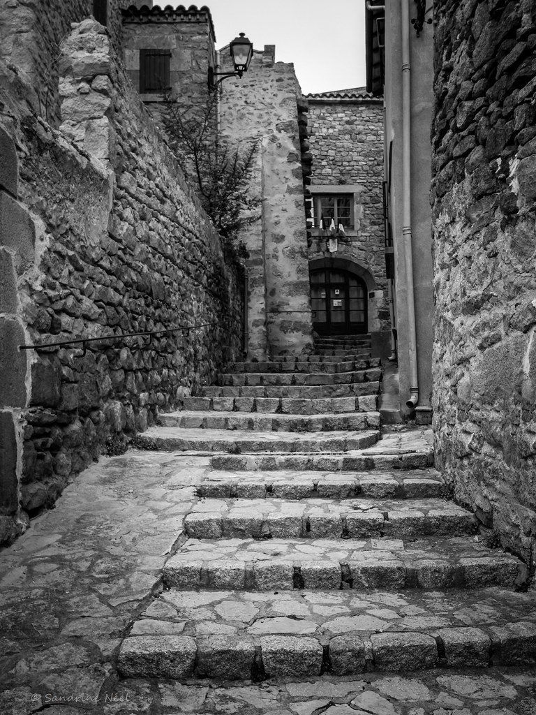
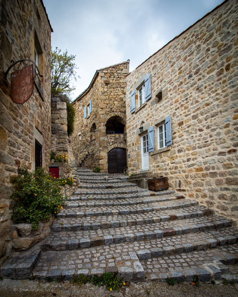
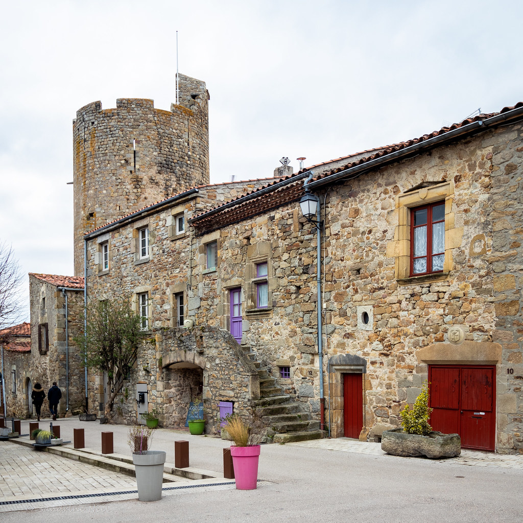
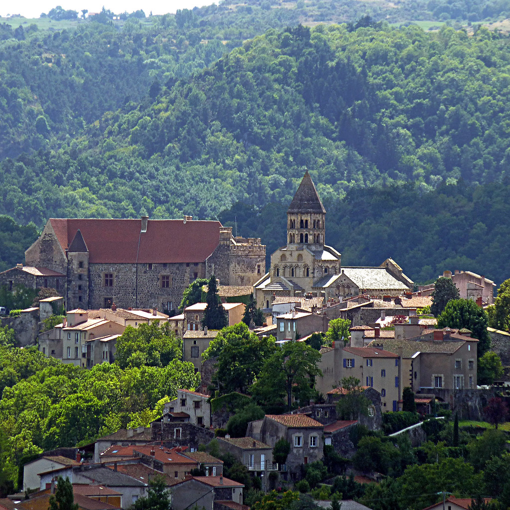
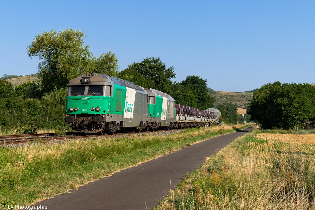
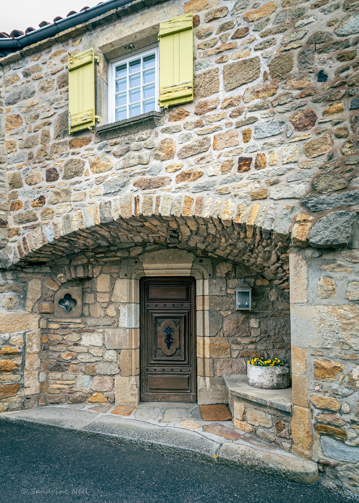
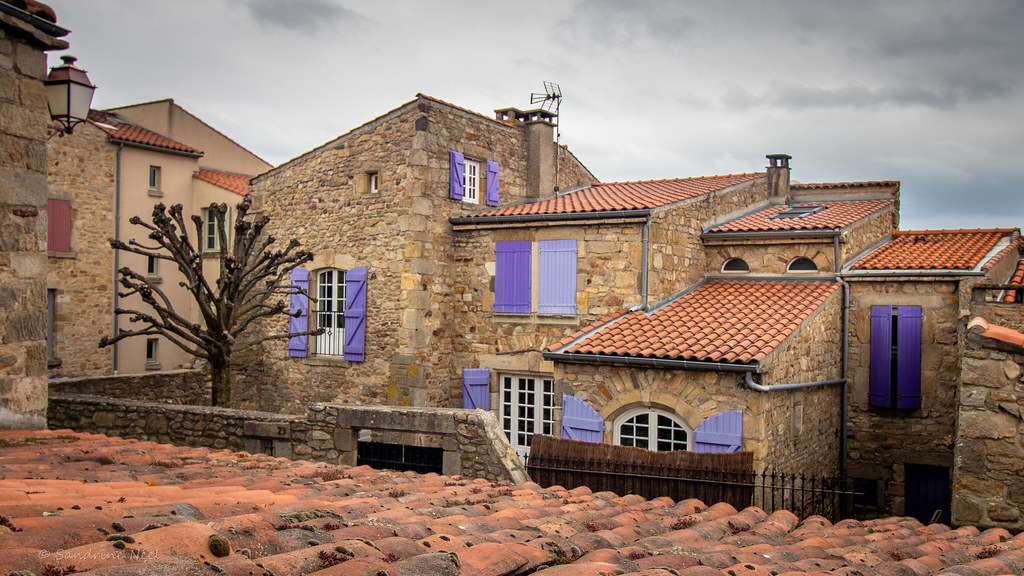
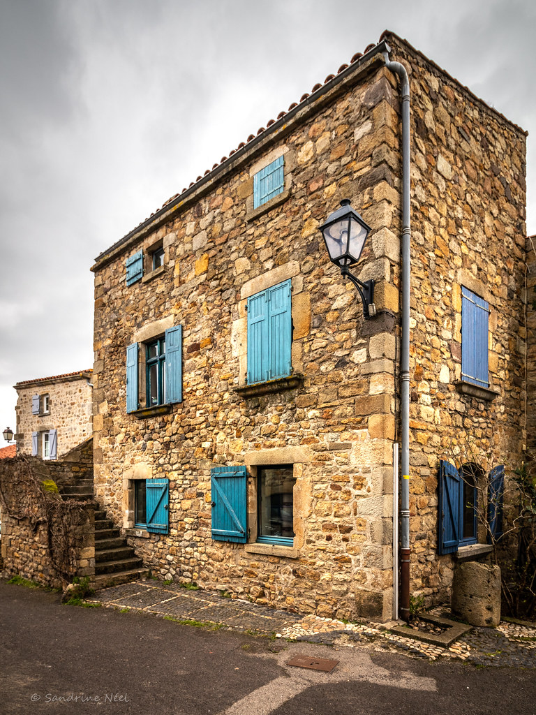
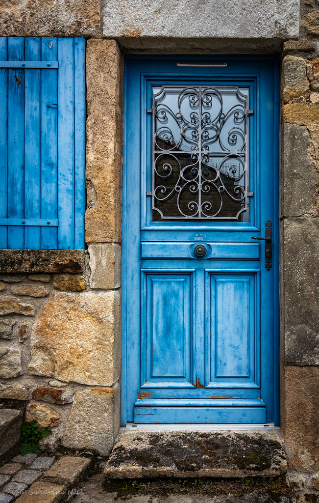
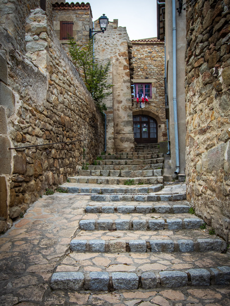
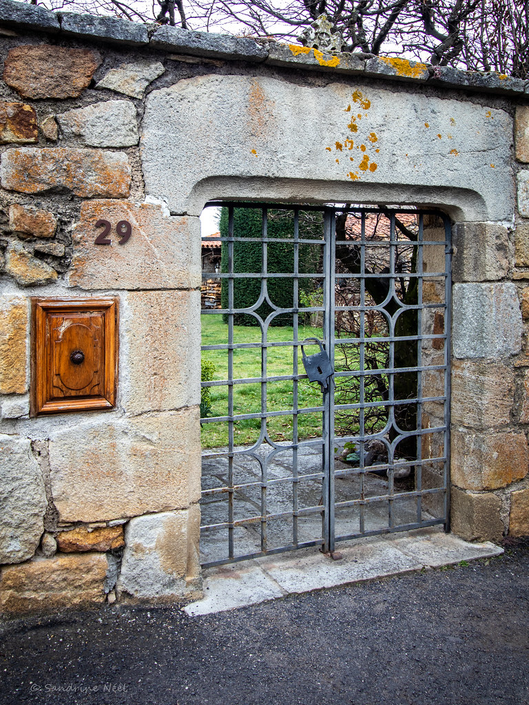
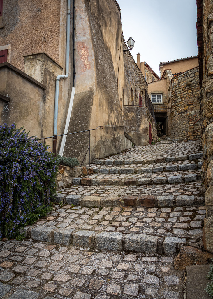
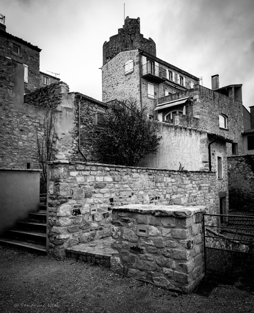
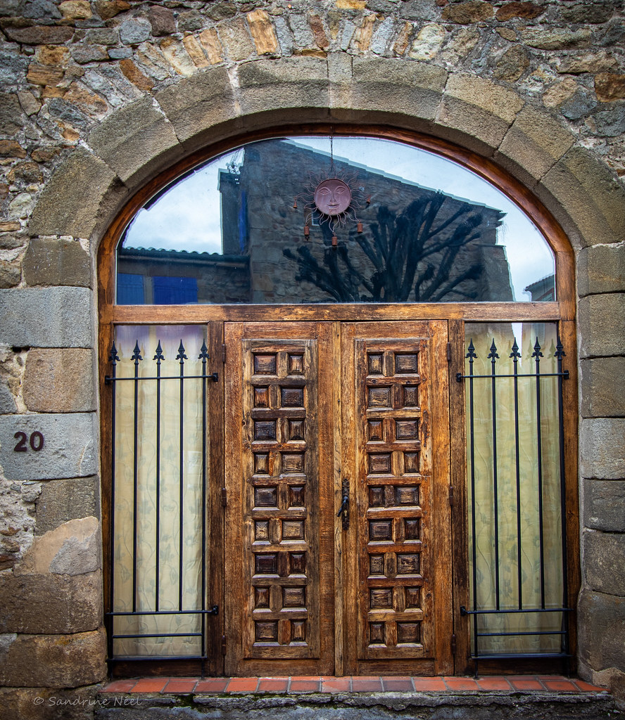
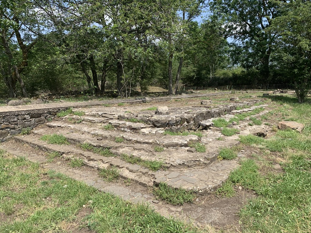
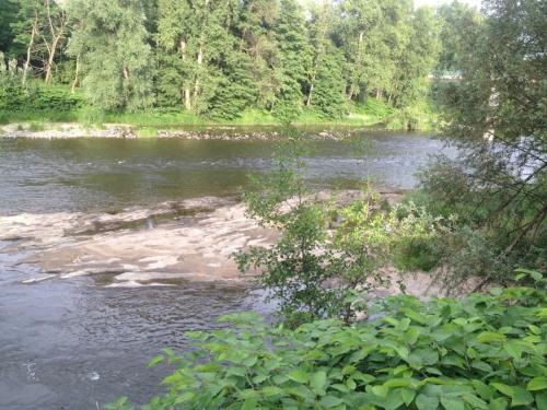
Photos La Sauvetat
|
See all photos of La Sauvetat :
Other photos of La Sauvetat and nearby towns can be found here: photos La Sauvetat
|
|
La Sauvetat weather forecast
Find next hours and 7 days weather forecast for La Sauvetat here : weather La Sauvetat (with english metrics)
This is the last weather forecast for La Sauvetat collected by the nearest observation station of Veyre-Monton.
Week Forecast:
The latest weather data for La Sauvetat were collected Saturday, 20 June 2026 at 19:06 from the nearest observation station of Veyre-Monton.
| Saturday, June 20th |
34°C 17°C
31%
47%
|
Partly cloudy
Temperature Max: 34°C Temperature Min: 17°C
Precipitation Probability: 31%
Percentage of sky occluded by clouds: 47%
Wind speed: 7 km/h North-West
Humidity: 35%° UV Index: 6
Sunrise: 05:57 Sunset: 21:40 |
|
| | Sunday, June 21st |
36°C 20°C
44%
39%
|
Partly cloudy
Temperature Max: 36°C Temperature Min: 20°C
Precipitation Probability: 44%
Percentage of sky occluded by clouds: 39%
Wind speed: 6 km/h North-West
Humidity: 31%° UV Index: 8
Sunrise: 05:57 Sunset: 21:40 |
|
| | Monday, June 22nd |
37°C 21°C
0%
11%
|
Clear
Temperature Max: 37°C Temperature Min: 21°C
Precipitation Probability: 0%
Percentage of sky occluded by clouds: 11%
Wind speed: 8 km/h Sout-East
Humidity: 33%° UV Index: 9
Sunrise: 05:58 Sunset: 21:40 |
|
| | Tuesday, June 23rd |
36°C 21°C
0%
4%
|
Clear
Temperature Max: 36°C Temperature Min: 21°C
Precipitation Probability: 0%
Percentage of sky occluded by clouds: 4%
Wind speed: 10 km/h Sout-East
Humidity: 31%° UV Index: 9
Sunrise: 05:58 Sunset: 21:40 |
|
|
Attribution: 
|
|
Other maps, hotels and towns in france
Find another town, zip code, department, region, ...
Quick links La Sauvetat :
Make a link to this page of La Sauvetat with the following code :
|
|
|
 French Version : http://www.cartesfrance.fr/carte-france-ville/63413_La Sauvetat.html