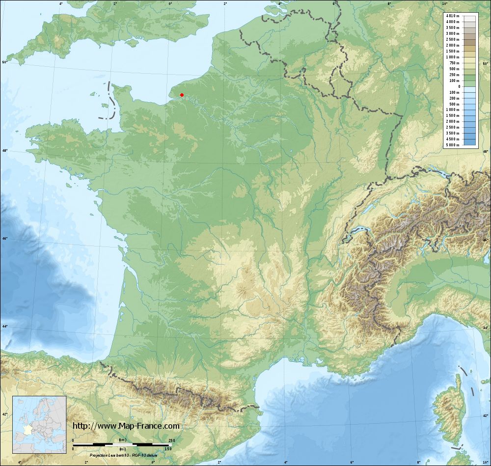
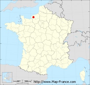
La Trinité-du-Mont on the relief France map in Lambert 93 coordinates
|

See the map of La Trinité-du-Mont in full screen (1000 x 949)
|
At left, here is the location of La Trinité-du-Mont on the relief France map in Lambert 93 coordinates.
Here are the altitudes of La Trinité-du-Mont :
- Town hall altitude of La Trinité-du-Mont is 130 meters
- Minimum altitude of La Trinité-du-Mont is 37 meters
- Maximum altitude of La Trinité-du-Mont is 146 meters
- Medium altitude of La Trinité-du-Mont is 92 meters
Here are the altitudes of Rouen, prefecture of Seine-Maritime department:
- Town hall altitude of Rouen is 22 meters
- Minimum altitude of Rouen is 2 meters
- Maximum altitude of Rouen is 152 meters
- Medium altitude of Rouen is 77 meters
Here are the altitudes of the french biggest cities:
Paris : 33 meters
Marseille : 20 meters
Lyon : 237 meters
Toulouse : 146 meters
Nice : 10 meters
Nantes : 20 meters
Strasbourg : 144 meters
Montpellier : 35 meters
Bordeaux : 16 meters
Lille : 20 meters
Rennes : 35 meters
Reims : 83 meters
Click here for the terrain map of La Trinité-du-Mont in full screen:
Relief map of La Trinité-du-Mont
|
This relief map of La Trinité-du-Mont is reusable and modifiable by making a link to this page of the Map-France.com website or by using the given code :
|
Terrain base map of La Trinité-du-Mont
|
See the terrain base map of La Trinité-du-Mont in full screen (1000 x 949)
|
Small relief base map of La Trinité-du-Mont
|
This base map of La Trinité-du-Mont is reusable and modifiable by making a link to this page of the Map-France.com website or by using the given code :
|
Map of La Trinité-du-Mont with regions and prefectures
|
View the map of La Trinité-du-Mont in full screen (1000 x 949)
|
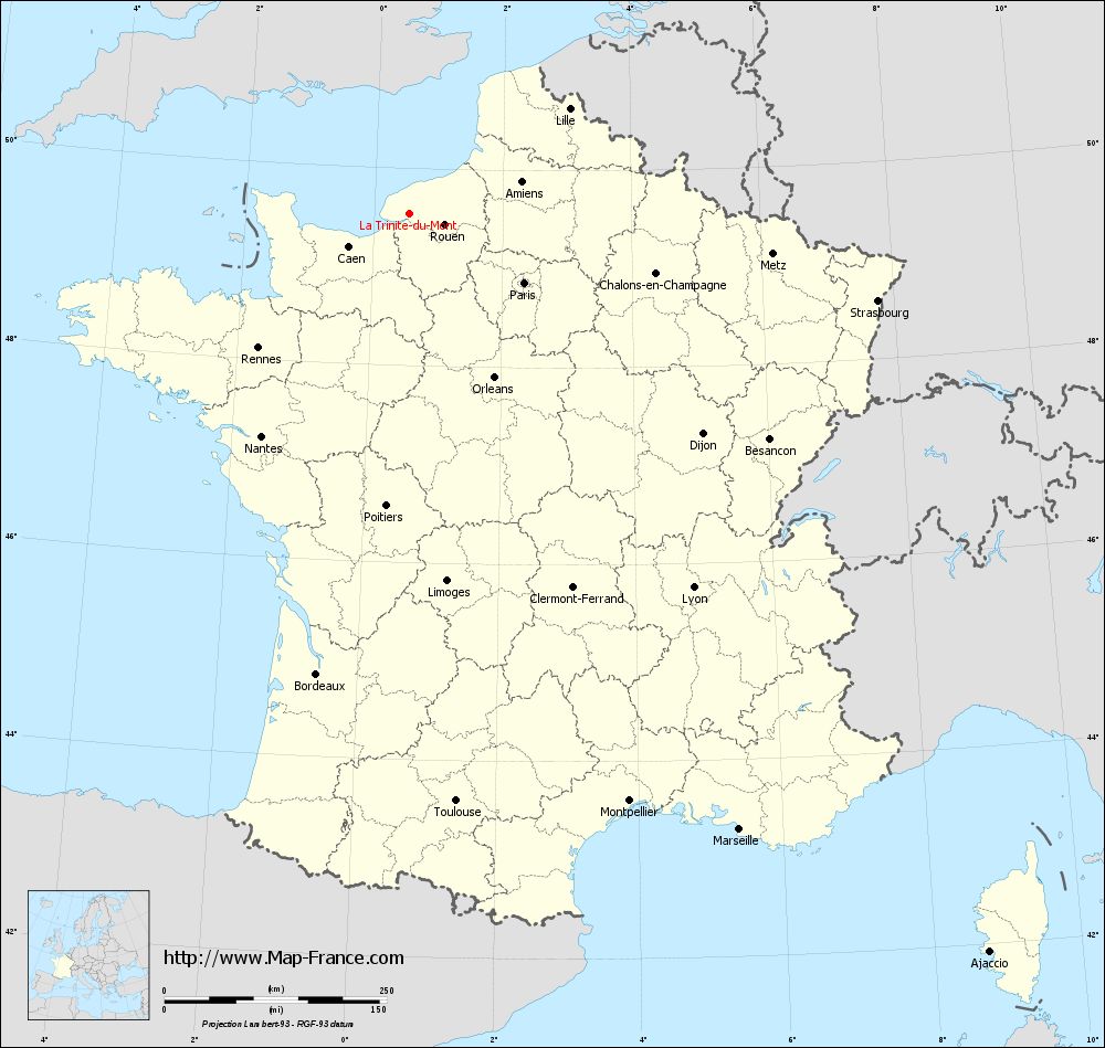
You will find the location of La Trinité-du-Mont on the map of France of regions in Lambert 93 coordinates. The town of La Trinité-du-Mont is located in the department of Seine-Maritime of the french region Haute-Normandie.
Geographical sexagesimal coordinates / GPS (WGS84):
Latitude: 49° 32' 38'' North
Longitude: 00° 33' 21'' East
Geographical decimal coordinates :
Latitude: 49.543 degrees (49.543° North)
Longitude: 0.554 degrees (0.554° East)
Lambert 93 coordinates :
X: 5 230 hectometers
Y: 69 410 hectometers
Lambert 2 coordinates :
X: 4 710 hectometers
Y: 25 066 hectometers
Below, the geographical coordinates of Rouen, prefecture of the Seine-Maritime department:
Geographical sexagesimal coordinates / GPS (WGS84):
Latitude: 49° 26' 35'' North
Longitude: 01° 06' 09'' East
Geographical decimal coordinates :
Latitude: 49.438 degrees (49.438° North)
Longitude: 1.089 degrees (1.089° East)
Lambert 93 coordinates :
X: 5 624 hectometers
Y: 69 287 hectometers
Lambert 2 coordinates :
X: 5 104 hectometers
Y: 24 947 hectometers
|
This map of La Trinité-du-Mont is reusable and modifiable by making a link to this page of the Map-France.com website or by using the given code :
|
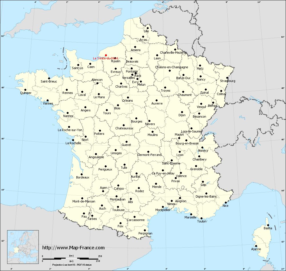
Map of La Trinité-du-Mont with departments and prefectures
|
Voir la carte of La Trinité-du-Mont en grand format (1000 x 949)
|
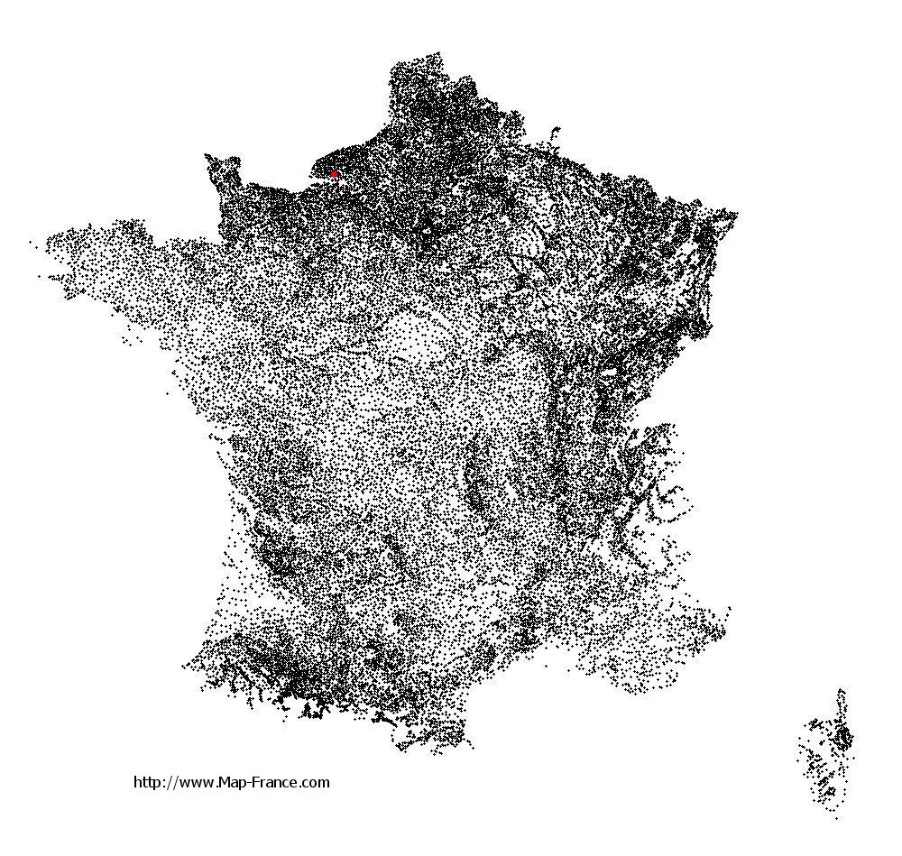
Here is the localization of La Trinité-du-Mont on the France map of departments in Lambert 93 coordinates. The city of La Trinité-du-Mont is shown on the map by a red point.
The town of La Trinité-du-Mont is located in the department of Seine-Maritime of the french region Haute-Normandie.
The latitude of La Trinité-du-Mont is 49.543 degrees North.
The longitude of La Trinité-du-Mont is 0.554 degrees East.
Here the distance between La Trinité-du-Mont and the biggest cities of France:
Distances are calculated as the crow flies (orthodromic distance)
Distance between La Trinité-du-Mont and Paris : 150.54 kilometers
Distance between La Trinité-du-Mont and Marseille : 786.51 kilometers
Distance between La Trinité-du-Mont and Lyon : 528.33 kilometers
Distance between La Trinité-du-Mont and Toulouse : 663.81 kilometers
Distance between La Trinité-du-Mont and Nice : 825.48 kilometers
Distance between La Trinité-du-Mont and Nantes : 301.37 kilometers
Distance between La Trinité-du-Mont and Strasbourg : 534.78 kilometers
Distance between La Trinité-du-Mont and Montpellier : 706.2 kilometers
Distance between La Trinité-du-Mont and Bordeaux : 529.06 kilometers
Distance between La Trinité-du-Mont and Lille : 214.62 kilometers
Distance between La Trinité-du-Mont and Rennes : 228.29 kilometers
Distance between La Trinité-du-Mont and Reims : 253.4 kilometers
Clic here to see the map of La Trinité-du-Mont in full screen:
La Trinité-du-Mont on the map of french departments
|
This administrative map of La Trinité-du-Mont is reusable and modifiable by making a link to this page of the Map-France.com website or by using the given code :
|
Administrative base maps of La Trinité-du-Mont
|

See the administrative base map of La Trinité-du-Mont in full screen (1000 x 949)
|
Small administrative base map of La Trinité-du-Mont
|
This base map administrative of La Trinité-du-Mont is reusable and modifiable by making a link to this page of the Map-France.com website or by using the given code :
|
 French Version : http://www.cartesfrance.fr