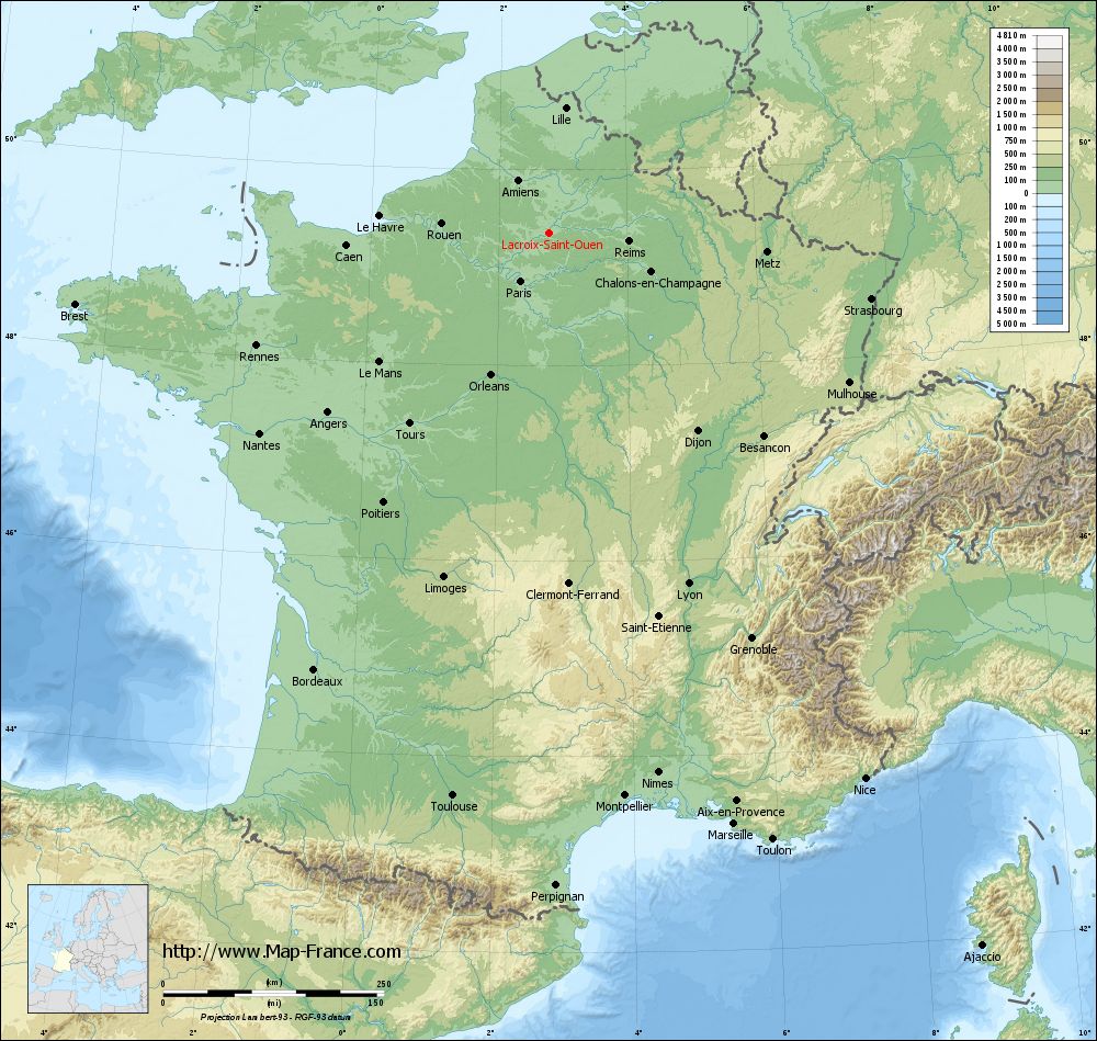
Lacroix-Saint-Ouen on the relief France map in Lambert 93 coordinates
|
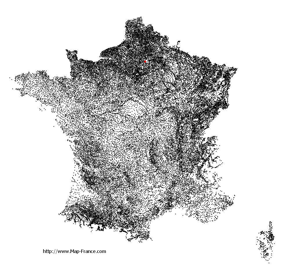
See the map of Lacroix-Saint-Ouen in full screen (1000 x 949)
|
At left, here is the location of Lacroix-Saint-Ouen on the relief France map in Lambert 93 coordinates.
Here are the altitudes of Lacroix-Saint-Ouen :
- Town hall altitude of Lacroix-Saint-Ouen is 36 meters
- Minimum altitude of Lacroix-Saint-Ouen is 30 meters
- Maximum altitude of Lacroix-Saint-Ouen is 54 meters
- Medium altitude of Lacroix-Saint-Ouen is 42 meters
Here are the altitudes of Beauvais, prefecture of Oise department:
- Town hall altitude of Beauvais is 67 meters
- Minimum altitude of Beauvais is 57 meters
- Maximum altitude of Beauvais is 170 meters
- Medium altitude of Beauvais is 114 meters
Here are the altitudes of the french biggest cities:
Paris : 33 meters
Marseille : 20 meters
Lyon : 237 meters
Toulouse : 146 meters
Nice : 10 meters
Nantes : 20 meters
Strasbourg : 144 meters
Montpellier : 35 meters
Bordeaux : 16 meters
Lille : 20 meters
Rennes : 35 meters
Reims : 83 meters
Click here for the terrain map of Lacroix-Saint-Ouen in full screen:
Relief map of Lacroix-Saint-Ouen
|
This relief map of Lacroix-Saint-Ouen is reusable and modifiable by making a link to this page of the Map-France.com website or by using the given code :
|
Terrain base map of Lacroix-Saint-Ouen
|

See the terrain base map of Lacroix-Saint-Ouen in full screen (1000 x 949)
|
Small relief base map of Lacroix-Saint-Ouen

|
This base map of Lacroix-Saint-Ouen is reusable and modifiable by making a link to this page of the Map-France.com website or by using the given code :
|
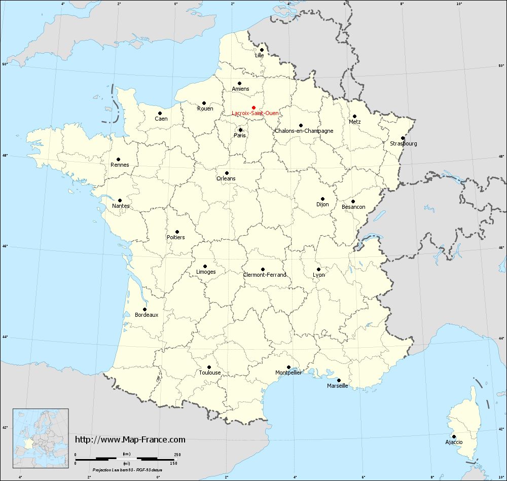
Map of Lacroix-Saint-Ouen with regions and prefectures
|
View the map of Lacroix-Saint-Ouen in full screen (1000 x 949)
|
You will find the location of Lacroix-Saint-Ouen on the map of France of regions in Lambert 93 coordinates. The city of Lacroix-Saint-Ouen is located in the department of Oise of the french region Picardie.
Geographical sexagesimal coordinates / GPS (WGS84):
Latitude: 49° 21' 22'' North
Longitude: 02° 47' 13'' East
Geographical decimal coordinates :
Latitude: 49.354 degrees (49.354° North)
Longitude: 2.786 degrees (2.786° East)
Lambert 93 coordinates :
X: 6 845 hectometers
Y: 69 174 hectometers
Lambert 2 coordinates :
X: 6 328 hectometers
Y: 24 844 hectometers
Below, the geographical coordinates of Beauvais, prefecture of the Oise department:
Geographical sexagesimal coordinates / GPS (WGS84):
Latitude: 49° 26' 03'' North
Longitude: 02° 05' 15'' East
Geographical decimal coordinates :
Latitude: 49.435 degrees (49.435° North)
Longitude: 2.082 degrees (2.082° East)
Lambert 93 coordinates :
X: 6 338 hectometers
Y: 69 265 hectometers
Lambert 2 coordinates :
X: 5 819 hectometers
Y: 24 930 hectometers
|
This map of Lacroix-Saint-Ouen is reusable and modifiable by making a link to this page of the Map-France.com website or by using the given code :
|
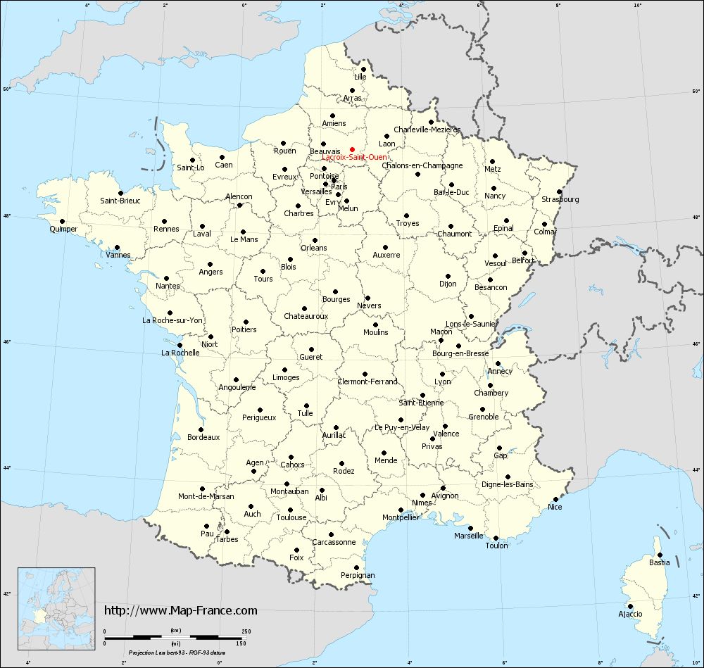
Map of Lacroix-Saint-Ouen with departments and prefectures
|
Voir la carte of Lacroix-Saint-Ouen en grand format (1000 x 949)
|
Here is the localization of Lacroix-Saint-Ouen on the France map of departments in Lambert 93 coordinates. The city of Lacroix-Saint-Ouen is shown on the map by a red point.
The city of Lacroix-Saint-Ouen is located in the department of Oise of the french region Picardie.
The latitude of Lacroix-Saint-Ouen is 49.354 degrees North.
The longitude of Lacroix-Saint-Ouen is 2.786 degrees East.
Here the distance between Lacroix-Saint-Ouen and the biggest cities of France:
Distances are calculated as the crow flies (orthodromic distance)
Distance between Lacroix-Saint-Ouen and Paris : 63.51 kilometers
Distance between Lacroix-Saint-Ouen and Marseille : 702.09 kilometers
Distance between Lacroix-Saint-Ouen and Lyon : 427.87 kilometers
Distance between Lacroix-Saint-Ouen and Toulouse : 647.45 kilometers
Distance between Lacroix-Saint-Ouen and Nice : 714.47 kilometers
Distance between Lacroix-Saint-Ouen and Nantes : 398.94 kilometers
Distance between Lacroix-Saint-Ouen and Strasbourg : 372.36 kilometers
Distance between Lacroix-Saint-Ouen and Montpellier : 643.75 kilometers
Distance between Lacroix-Saint-Ouen and Bordeaux : 561.88 kilometers
Distance between Lacroix-Saint-Ouen and Lille : 142.7 kilometers
Distance between Lacroix-Saint-Ouen and Rennes : 355.35 kilometers
Distance between Lacroix-Saint-Ouen and Reims : 90.84 kilometers
Clic here to see the map of Lacroix-Saint-Ouen in full screen:
Lacroix-Saint-Ouen on the map of french departments
|
This administrative map of Lacroix-Saint-Ouen is reusable and modifiable by making a link to this page of the Map-France.com website or by using the given code :
|
Administrative base maps of Lacroix-Saint-Ouen
|

See the administrative base map of Lacroix-Saint-Ouen in full screen (1000 x 949)
|
Small administrative base map of Lacroix-Saint-Ouen
|
This base map administrative of Lacroix-Saint-Ouen is reusable and modifiable by making a link to this page of the Map-France.com website or by using the given code :
|
 French Version : http://www.cartesfrance.fr