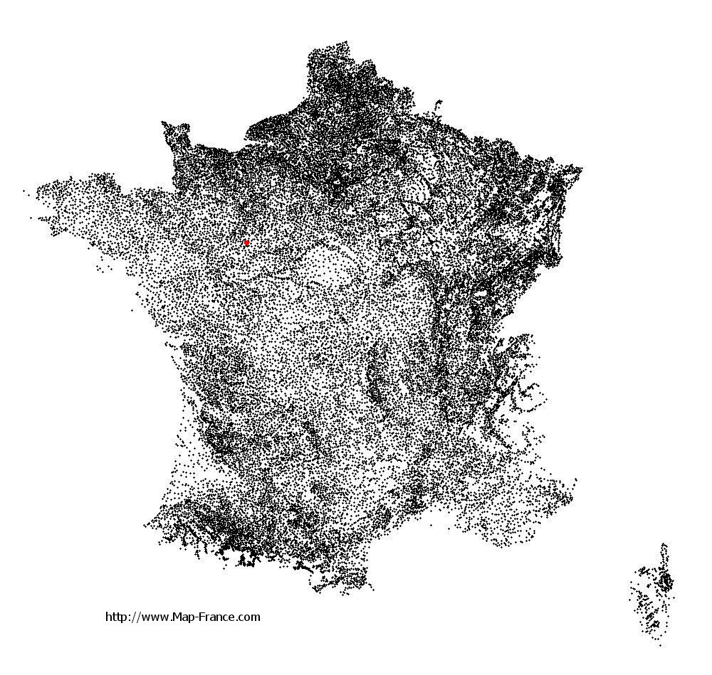
Laigné-en-Belin on the relief France map in Lambert 93 coordinates
|

See the map of Laigné-en-Belin in full screen (1000 x 949)
|
At left, here is the location of Laigné-en-Belin on the relief France map in Lambert 93 coordinates.
Here are the altitudes of Laigné-en-Belin :
- Town hall altitude of Laigné-en-Belin is 65 meters
- Minimum altitude of Laigné-en-Belin is 47 meters
- Maximum altitude of Laigné-en-Belin is 95 meters
- Medium altitude of Laigné-en-Belin is 71 meters
Here are the altitudes of Le Mans, prefecture of Sarthe department:
- Town hall altitude of Le Mans is 50 meters
- Minimum altitude of Le Mans is 38 meters
- Maximum altitude of Le Mans is 134 meters
- Medium altitude of Le Mans is 86 meters
Here are the altitudes of the french biggest cities:
Paris : 33 meters
Marseille : 20 meters
Lyon : 237 meters
Toulouse : 146 meters
Nice : 10 meters
Nantes : 20 meters
Strasbourg : 144 meters
Montpellier : 35 meters
Bordeaux : 16 meters
Lille : 20 meters
Rennes : 35 meters
Reims : 83 meters
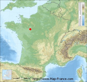
Click here for the terrain map of Laigné-en-Belin in full screen:
Relief map of Laigné-en-Belin
|
This relief map of Laigné-en-Belin is reusable and modifiable by making a link to this page of the Map-France.com website or by using the given code :
|
Terrain base map of Laigné-en-Belin
|

See the terrain base map of Laigné-en-Belin in full screen (1000 x 949)
|
Small relief base map of Laigné-en-Belin
|
This base map of Laigné-en-Belin is reusable and modifiable by making a link to this page of the Map-France.com website or by using the given code :
|
Map of Laigné-en-Belin with regions and prefectures
|
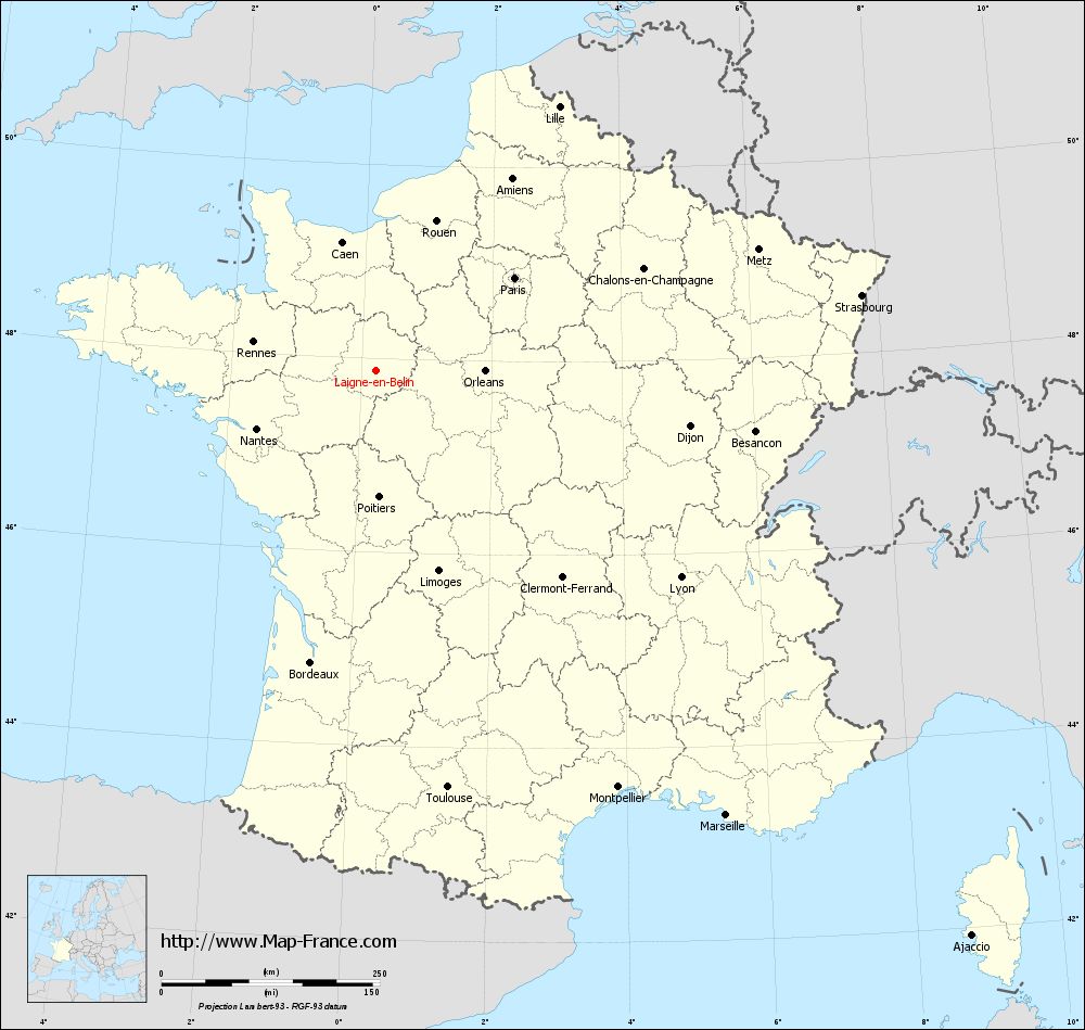
View the map of Laigné-en-Belin in full screen (1000 x 949)
|
You will find the location of Laigné-en-Belin on the map of France of regions in Lambert 93 coordinates. The city of Laigné-en-Belin is located in the department of Sarthe of the french region Pays de la Loire.
Geographical sexagesimal coordinates / GPS (WGS84):
Latitude: 47° 52' 41'' North
Longitude: 00° 13' 47'' East
Geographical decimal coordinates :
Latitude: 47.879 degrees (47.879° North)
Longitude: 0.227 degrees (0.227° East)
Lambert 93 coordinates :
X: 4 930 hectometers
Y: 67 567 hectometers
Lambert 2 coordinates :
X: 4 424 hectometers
Y: 23 220 hectometers
Below, the geographical coordinates of Le Mans, prefecture of the Sarthe department:
Geographical sexagesimal coordinates / GPS (WGS84):
Latitude: 48° 00' 15'' North
Longitude: 00° 11' 49'' East
Geographical decimal coordinates :
Latitude: 47.996 degrees (47.996° North)
Longitude: 0.203 degrees (0.203° East)
Lambert 93 coordinates :
X: 4 910 hectometers
Y: 67 708 hectometers
Lambert 2 coordinates :
X: 4 403 hectometers
Y: 23 360 hectometers
|
This map of Laigné-en-Belin is reusable and modifiable by making a link to this page of the Map-France.com website or by using the given code :
|
Map of Laigné-en-Belin with departments and prefectures
|
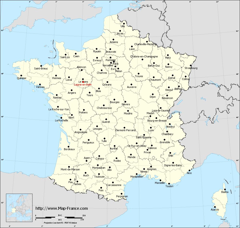
Voir la carte of Laigné-en-Belin en grand format (1000 x 949)
|
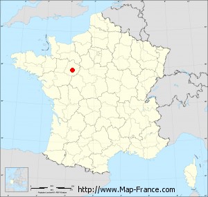
Here is the localization of Laigné-en-Belin on the France map of departments in Lambert 93 coordinates. The city of Laigné-en-Belin is shown on the map by a red point.
The city of Laigné-en-Belin is located in the department of Sarthe of the french region Pays de la Loire.
The latitude of Laigné-en-Belin is 47.879 degrees North.
The longitude of Laigné-en-Belin is 0.227 degrees East.
Here the distance between Laigné-en-Belin and the biggest cities of France:
Distances are calculated as the crow flies (orthodromic distance)
Distance between Laigné-en-Belin and Paris : 190.69 kilometers
Distance between Laigné-en-Belin and Marseille : 648.4 kilometers
Distance between Laigné-en-Belin and Lyon : 421.97 kilometers
Distance between Laigné-en-Belin and Toulouse : 484.74 kilometers
Distance between Laigné-en-Belin and Nice : 715.01 kilometers
Distance between Laigné-en-Belin and Nantes : 152.32 kilometers
Distance between Laigné-en-Belin and Strasbourg : 562.47 kilometers
Distance between Laigné-en-Belin and Montpellier : 552.14 kilometers
Distance between Laigné-en-Belin and Bordeaux : 342.82 kilometers
Distance between Laigné-en-Belin and Lille : 367.47 kilometers
Distance between Laigné-en-Belin and Rennes : 144.07 kilometers
Distance between Laigné-en-Belin and Reims : 318.89 kilometers
Clic here to see the map of Laigné-en-Belin in full screen:
Laigné-en-Belin on the map of french departments
|
This administrative map of Laigné-en-Belin is reusable and modifiable by making a link to this page of the Map-France.com website or by using the given code :
|
Administrative base maps of Laigné-en-Belin
|

See the administrative base map of Laigné-en-Belin in full screen (1000 x 949)
|
Small administrative base map of Laigné-en-Belin
|
This base map administrative of Laigné-en-Belin is reusable and modifiable by making a link to this page of the Map-France.com website or by using the given code :
|
 French Version : http://www.cartesfrance.fr