|
The village of Lajo is a small village located south of France. The town of Lajo is located in the department of Lozère of the french region Languedoc-Roussillon. The town of Lajo is located in the township of Saint-Alban-sur-Limagnole part of the district of Mende. The area code for Lajo is 48079 (also known as code INSEE), and the Lajo zip code is 48120.
Geography and map of Lajo :
The altitude of the city hall of Lajo is approximately 1 240 meters. The Lajo surface is 18.58 km ². The latitude and longitude of Lajo are 44.838 degrees North and 3.424 degrees East.
Nearby cities and towns of Lajo are :
Chanaleilles (43170) at 5.62 km, Le Malzieu-Forain (48140) at 5.72 km, Sainte-Eulalie (48120) at 6.21 km, Prunières (48200) at 6.46 km, Saint-Alban-sur-Limagnole (48120) at 6.85 km, Le Malzieu-Ville (48140) at 7.70 km, Grèzes (43170) at 10.42 km, Saint-Pierre-le-Vieux (48200) at 10.56 km.
(The distances to these nearby towns of Lajo are calculated as the crow flies)
Population and housing of Lajo :
The population of Lajo was 136 in 1999, 126 in 2006 and 121 in 2007. The population density of Lajo is 6.51 inhabitants per km². The number of housing of Lajo was 105 in 2007. These homes of Lajo consist of 57 main residences, 42 second or occasional homes and 6 vacant homes. |
|
|
Hotel Lajo
|
|
|
Book now ! Best Price Guaranteed, no booking fees, pay at the hotel with our partner Booking.com, leader in online hotel reservation.
Find all hotels of Lajo : Hotel Lajo
| |

|
Hotel : Le Boufadou

Set in Le Malzieu-Ville, Le Boufadou offers a garden. This 2-star hotel offers free WiFi. The hotel provides mountain views and a sun terrace. At the hotel, the rooms are equip...
Rate : from 45.00 €
to 85.00 €
Address : S/N Lieu Dit Le Villard 48140 Le Malzieu-Ville
Distance Hotel - Lajo : 6.41 km
|
|
|
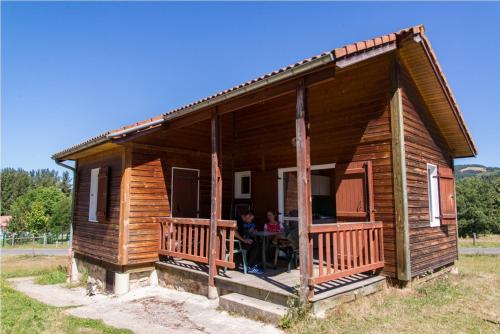
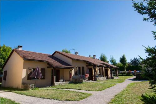
Guest accommodation : Village de Gîtes du Malzieu
Village de Gîtes du Malzieu is situated in Le Malzieu-Ville. Complimentary WiFi is offered. Some units include a terrace and/or balcony. Saint-Flour is 37 km from the holiday ...
Contact : Village des Chalets de la Truyère 48000 Le Malzieu-Ville
Distance Guest accommodation - Lajo : 6.87 km
|
|
|
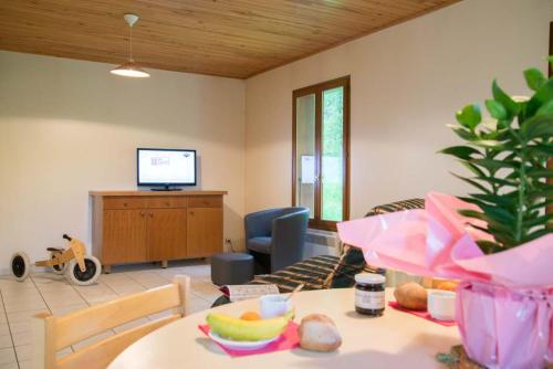
Guest accommodation : Village de gîtes de la Forêt de Ganigal
Situated in Le Malzieu-Ville in the Languedoc-Roussillon region, Village de gîtes de la Forêt de Ganigal offers accommodation with free WiFi. A dishwasher, a fridge and stoveto...
Contact : Chemin de la Chazette ,Forêt de Ganigal 48140 Le Malzieu-Ville
Distance Guest accommodation - Lajo : 6.92 km
|
|
|
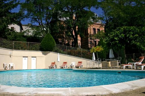
Hotel : Relais Saint Roch Rest. La Petite Maison

Relais Saint Roch Rest. La Petite Maison is a 3-star hotel in Saint-Alban-Sur-Limagnole, in the heart of the historical area of Gévaudan, and near the pilgrimage route to Santia...
Contact : Château De La Chastre 48120 Saint-Alban-sur-Limagnole
Distance Hotel - Lajo : 7.04 km
|
|
|
Guest accommodation : Villages de Gîtes Le Pigeonnier
Villages de Gîtes Le Pigeonnier is situated in Le Malzieu-Ville. Each unit comes with a fully equipped kitchen with a dishwasher, a seating area with a sofa, a TV and a private...
Address : 6000 Chemin du Pigeonnier 48140 Le Malzieu-Ville
Distance Guest accommodation - Lajo : 7.05 km
|
|
|
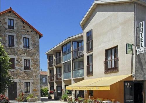
Hotel : Logis Hotel des Voyageurs
This hotel is located in the centre of the medieval village Malzieu-Ville, in the Lozere department. Its rooms feature private balconies overlooking the village, and it has free...
Prices : from 60.00 €
to 80.00 €
Contact : Route de Saugues 48140 Le Malzieu-Ville
Distance Hotel - Lajo : 7.48 km
|
|
|
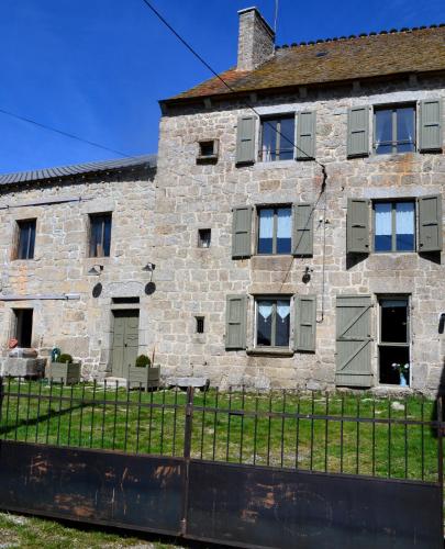
Guest accommodation : Village de gîtes des Bouviers
Set in Saint-Denis in the Languedoc-Roussillon region, Village de gîtes des Bouviers provides accommodation with free WiFi. Some units also have a kitchen equipped with a dishw...
Contact : Village de gîtes des Bouviers 48600 Saint-Denis
Distance Guest accommodation - Lajo : 11.63 km
|
|
|
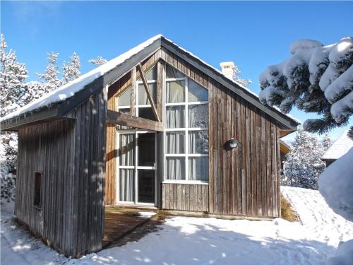
Guest accommodation : La Ferme du Crouzet
La Ferme du Crouzet is located in Rimeize. This holiday home offers barbecue facilities. The holiday home is equipped with 5 bedrooms, a flat-screen TV with cable channels and ...
Contact : le crouzet route de serverette 48700 Rimeize
Distance Guest accommodation - Lajo : 12.01 km
|
|

|
Hotel : Les Portes d'Apcher
Set just off the A75 motorway, this 3-star hotel is ideally located halfway between Clermont-Ferrand and Montpellier. Its restaurant is designed as an indoor garden and serves o...
Prices : from 75.00 €
to 95.00 €
Address : Route de Saint Flour 48200 Saint-Chély-dʼApcher
Distance Hotel - Lajo : 12.22 km
|
|

|
Hotel : Hotel Bel Horizon
Hotel Bel Horizon is located in Saint-Chély-d’Apcher. The property features a bar and a breakfast room. Guests can also enjoy their breakfast in the room upon request. Free WiFi...
Rate : from 75.00 €
Contact : 53 Boulevard Guerin d'Apcher 48200 Saint-Chély-dʼApcher
Distance Hotel - Lajo : 12.28 km
|
|
Find another hotel near Lajo : Lajo hotels list
|
Map of Lajo
|
|
Map of Lajo :
At right you can find the localization of Lajo on the map of France. Below, this is the satellite map of Lajo. A road map, and maps templates of Lajo are available here : "road map of Lajo". This map show Lajo seen by the satellite of Google Map. To see the streets of Lajo or move on another zone, use the buttons "zoom" and "map" on top of this dynamic map.
Search on the map of Lajo :
To search hotels, housings, tourist information office, administrations or other services, use the Google search integrated to the map on the following page : "map Lajo".
Hotels of Lajo are listed on the map with the following icons: 
The map of Lajo is centred in the following coordinates :
|

|
|
|
|
Print the map of Lajo

Print the map of Lajo : map of Lajo
|
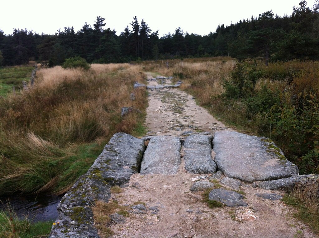
Photos Lajo
|
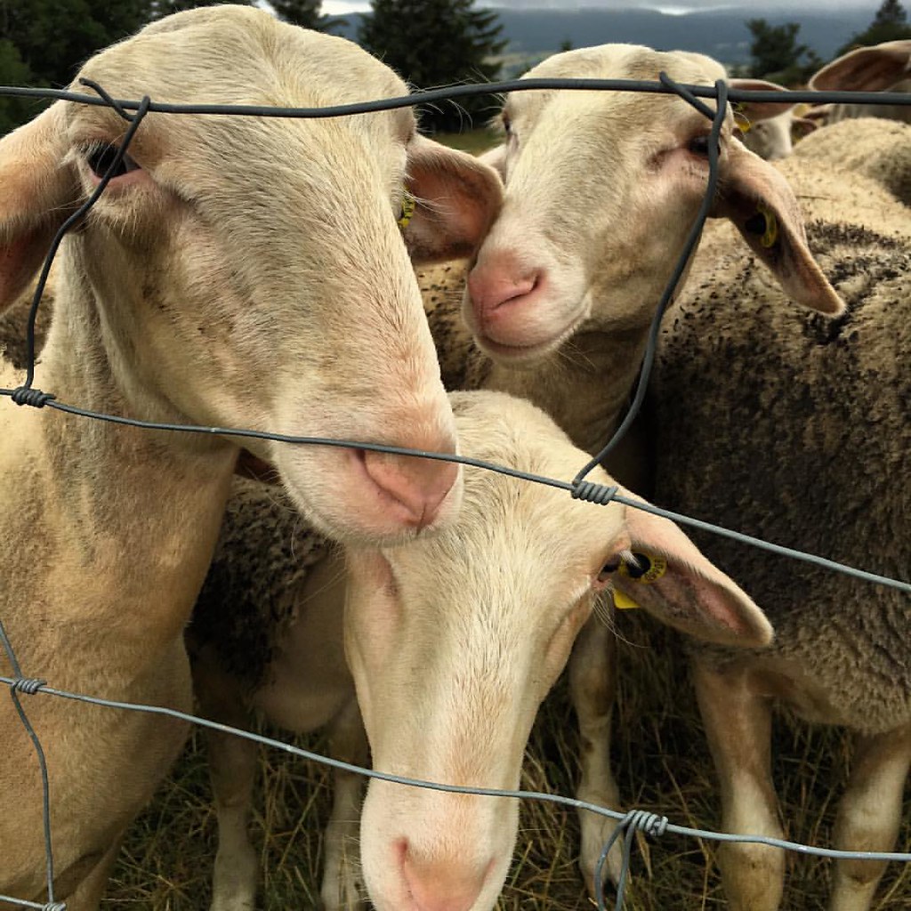
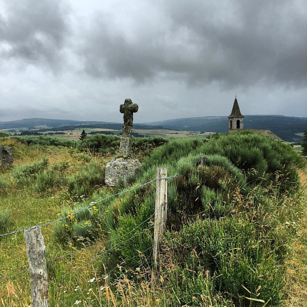
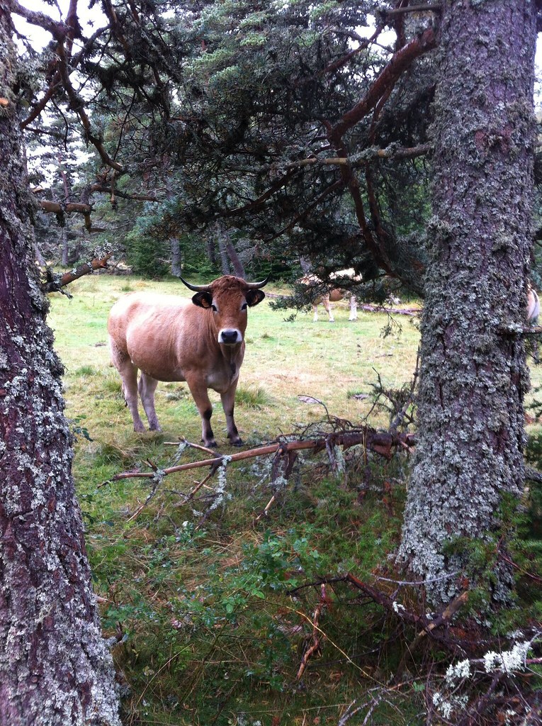
See all photos of Lajo :
Other photos of Lajo and nearby towns can be found here: photos Lajo
|
|
Lajo weather forecast
Find next hours and 7 days weather forecast for Lajo here : weather Lajo (with english metrics)
This is the last weather forecast for Lajo collected by the nearest observation station of Saint-Alban-sur-Limagnole.
Week Forecast:
The latest weather data for Lajo were collected Thursday, 09 July 2026 at 19:03 from the nearest observation station of Saint-Alban-sur-Limagnole.
| Thursday, July 9th |
30°C 14°C
0%
14%
|
Mostly clear
Temperature Max: 30°C Temperature Min: 14°C
Precipitation Probability: 0%
Percentage of sky occluded by clouds: 14%
Wind speed: 12 km/h South
Humidity: 38%° UV Index: 9
Sunrise: 06:09 Sunset: 21:33 |
|
| | Friday, July 10th |
30°C 16°C
35%
53%
|
Drizzle
Temperature Max: 30°C Temperature Min: 16°C
Precipitation Probability: 35% (Rain)
Percentage of sky occluded by clouds: 53%
Wind speed: 10 km/h North
Humidity: 35%° UV Index: 6
Sunrise: 06:10 Sunset: 21:33 |
|
| | Saturday, July 11th |
28°C 15°C
39%
63%
|
Thunderstorms
Temperature Max: 28°C Temperature Min: 15°C
Precipitation Probability: 39% (Rain)
Percentage of sky occluded by clouds: 63%
Wind speed: 6 km/h North
Humidity: 43%° UV Index: 6
Sunrise: 06:11 Sunset: 21:32 |
|
| | Sunday, July 12th |
31°C 15°C
30%
25%
|
Mostly clear
Temperature Max: 31°C Temperature Min: 15°C
Precipitation Probability: 30%
Percentage of sky occluded by clouds: 25%
Wind speed: 6 km/h North-West
Humidity: 36%° UV Index: 8
Sunrise: 06:12 Sunset: 21:31 |
|
|
Attribution: 
|
|
Other maps, hotels and towns in france
Find another town, zip code, department, region, ...
Quick links Lajo :
Make a link to this page of Lajo with the following code :
|
|
|
 French Version : http://www.cartesfrance.fr/carte-france-ville/48079_Lajo.html