|
|
|
|
|
|
Lamadeleine-Val-des-Anges pictures
|
|
|
|
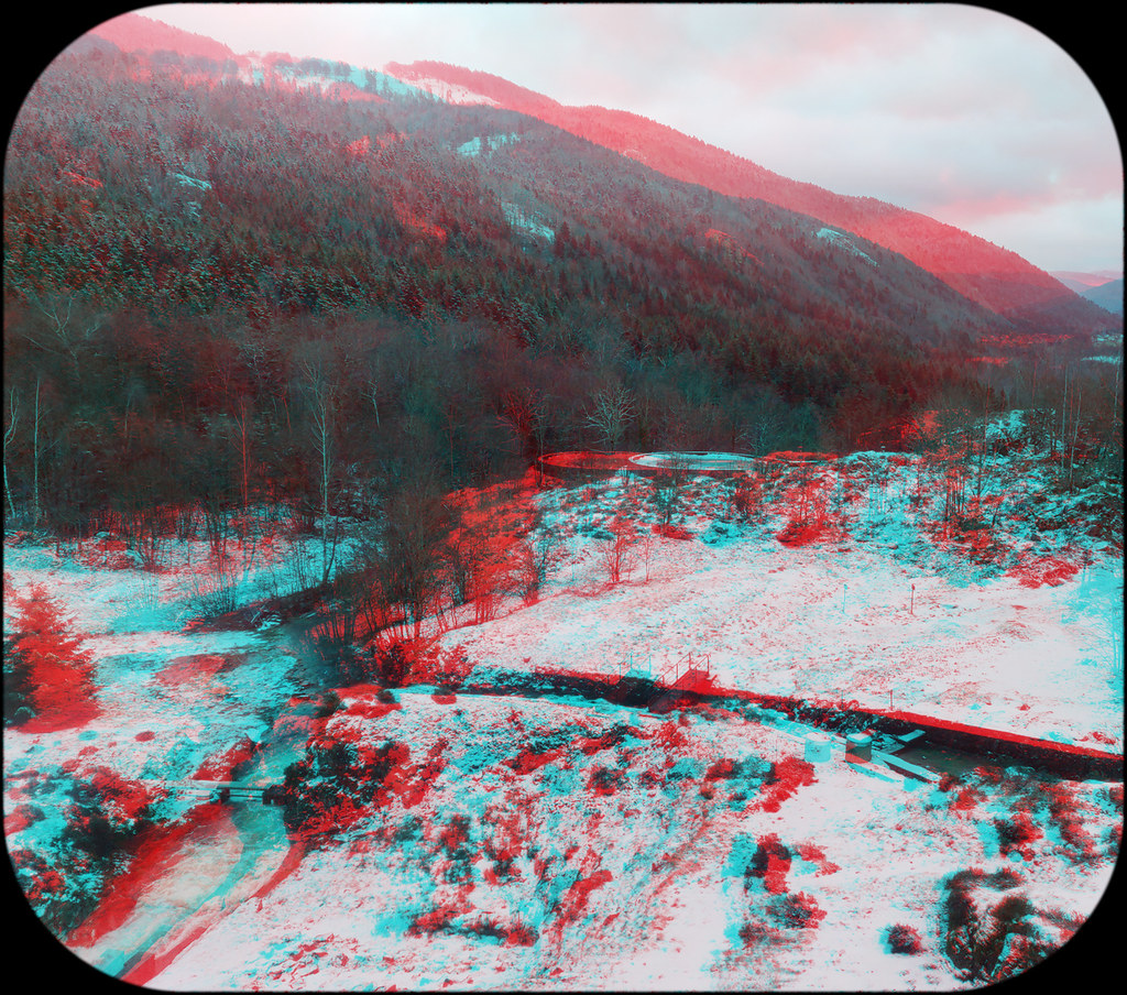
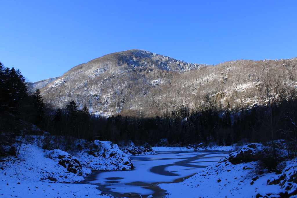
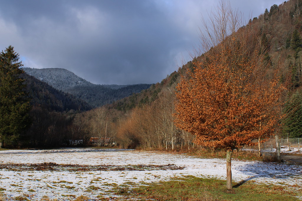
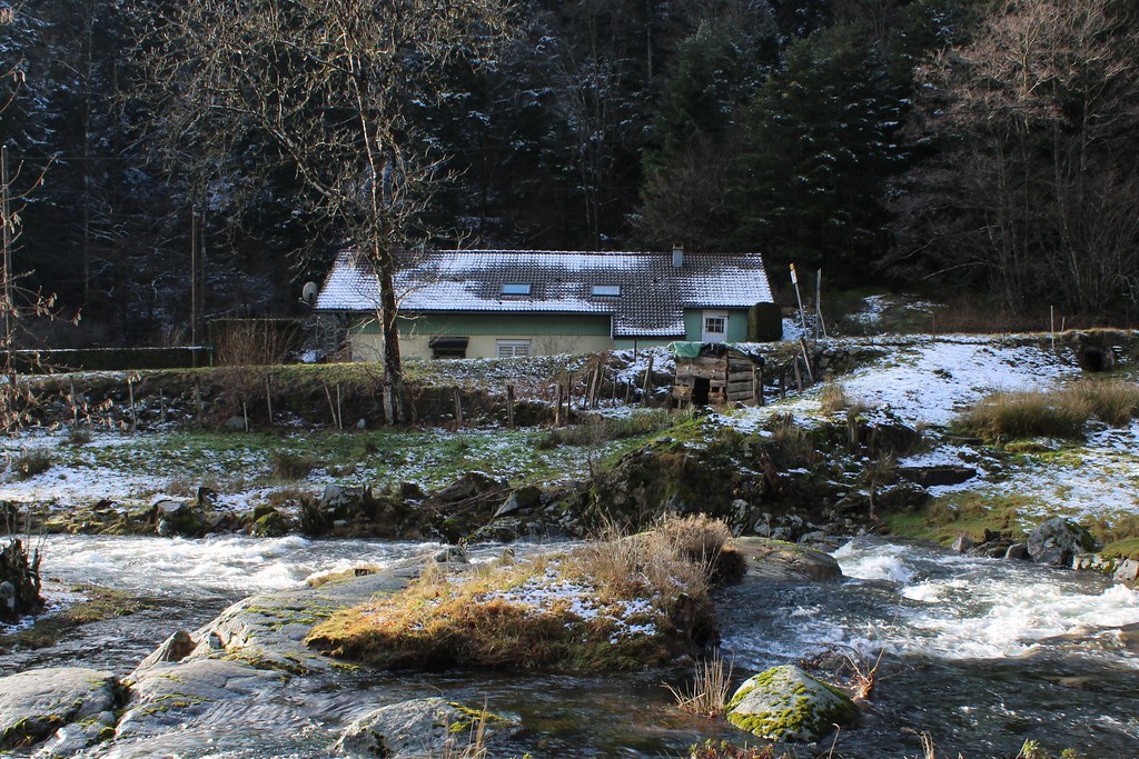
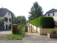
Photos of the town of Lamadeleine-Val-des-Anges
|
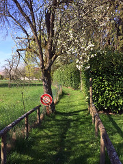
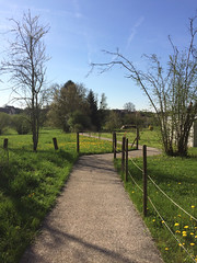
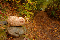
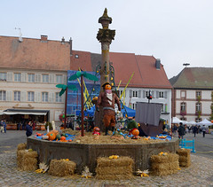
These photos taken near the town of Lamadeleine-Val-des-Anges can be shown in full screen clicking on the thumbnails. Photos are copyrighted by their owners.
| | |

D-une crête à l-autre
|

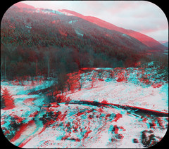
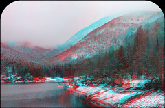
Vogesen 2024_148
|
| |

Vogesen 2024_149
|

Vogesen 2024_146
|
| |

Vogesen 2024_147
|

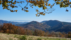
Ballon d-Alsace
|
| |

Chaume dorée
|
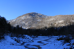
Lac et barrage d-Alfeld, Sewen, Vosges
|
| |
Lac et barrage d-Alfeld, Sewen, Vosges
|
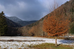
La Fennematt
|
| |
Démarcations
|
Herbes_blanches
|
| |
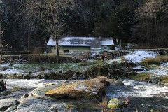
Maison_enneigée
|

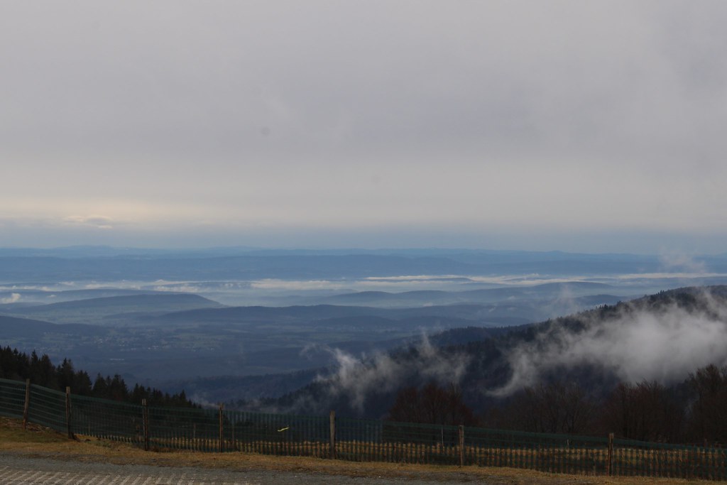
Plaine_embrumée
|
| |
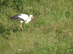
Any frog there ?
|
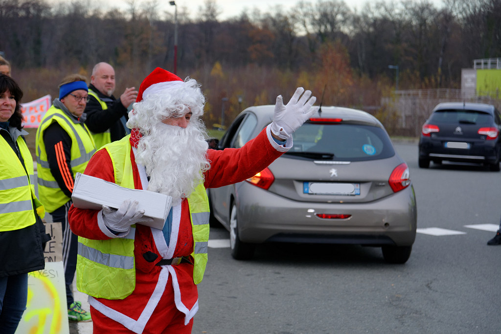
Mouvement des gilets jaunes, Menoncourt, 02 Dec 2018
|
| |

Mouvement des gilets jaunes, Menoncourt, 25 Nov 2018
|
Éguenigue, D22
|
| |
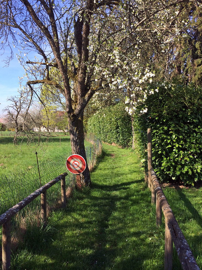
Éguenigue, sentier de la chapelle
|
Éguenigue, sentier de la Creuse
|
| |

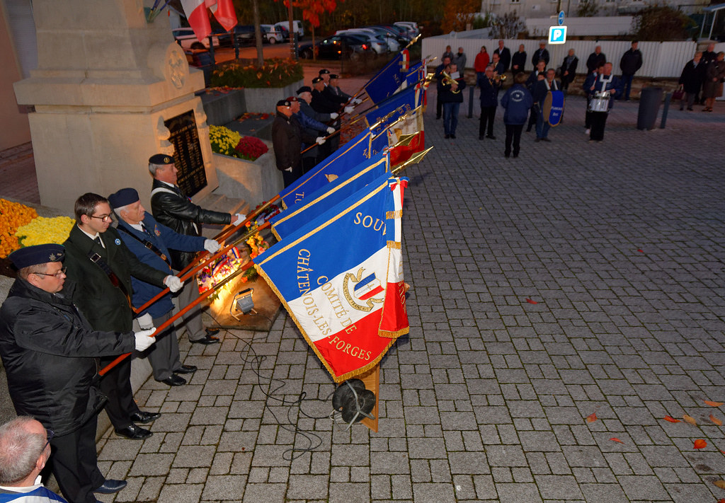
Commémorations du 11 novembre, Sermamagny, 11 Nov 2018
|
Halloween au Fort Dorsner II, 27 Oct 2018
|
| |
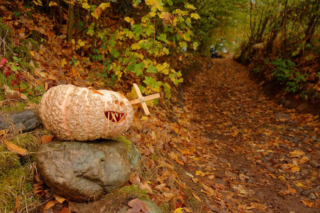
Fête de la Citrouille, Masevaux, Masevaux-Niederbruck, 20 & 21 Oct 2018
|

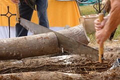
Campement : Troupes de Choc 39-45, Giromagny, 2018
|
| |
Fête du Ballon d-Alsace 2018
|
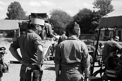
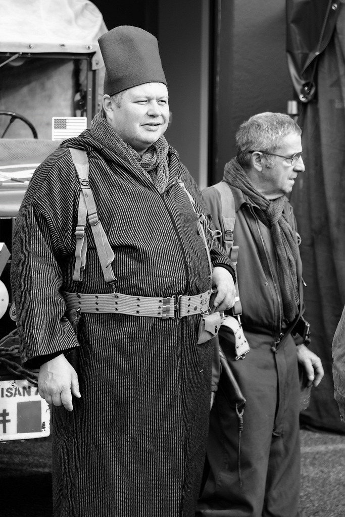
Reconstitution historique
|
| |
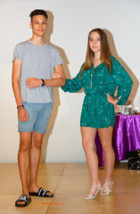
Salon estival de la famille, Giromagny, 24 Juin 2018
|
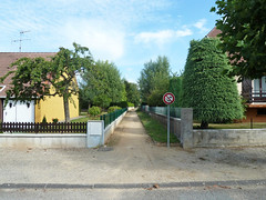
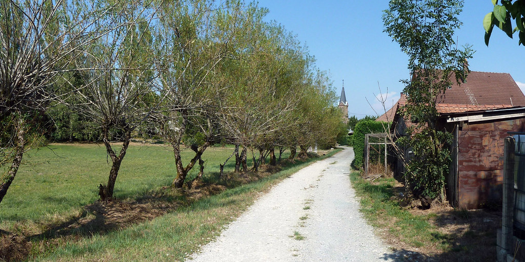
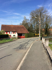
Saint-Germain-le-Châtelet, rue du Chenoy
|
| |

Saint-Germain-le-Châtelet
|
Saint-Germain-le-Châtelet, rue du Moulin
|
Lamadeleine-Val-des-Anges from the sky
|
|
Old photos of the town of Lamadeleine-Val-des-Anges
|
These photos taken near the town of Lamadeleine-Val-des-Anges can be shown in full screen clicking on the thumbnails. Photos are copyrighted by their owners.
|
|
Other maps, hotels and towns in france
Find another town, zip code, department, region, ...
Quick links Lamadeleine-Val-des-Anges :
Back to the menus Map of France :
Make a link to this page of Lamadeleine-Val-des-Anges with the following code :
|
|
Map of France | Regions | Departments | Cities | Partners | Terms | Contact
|